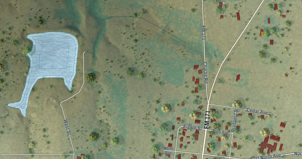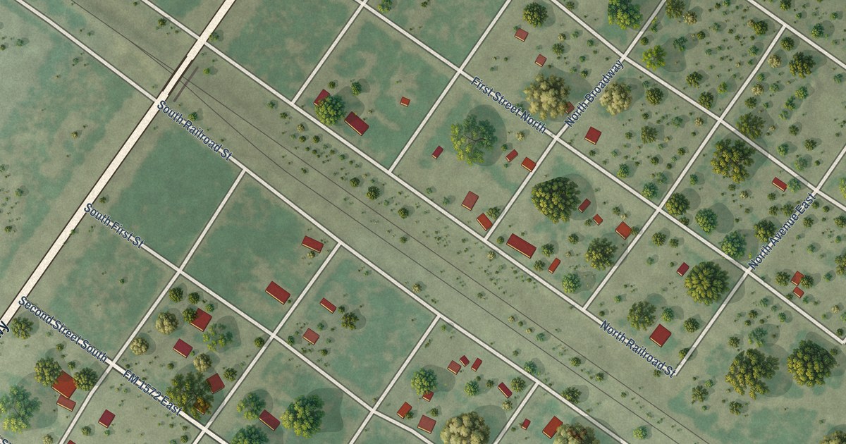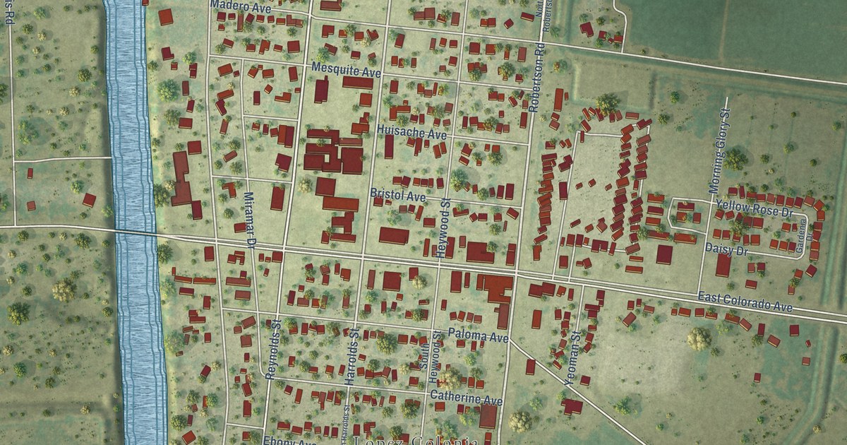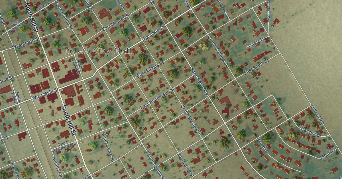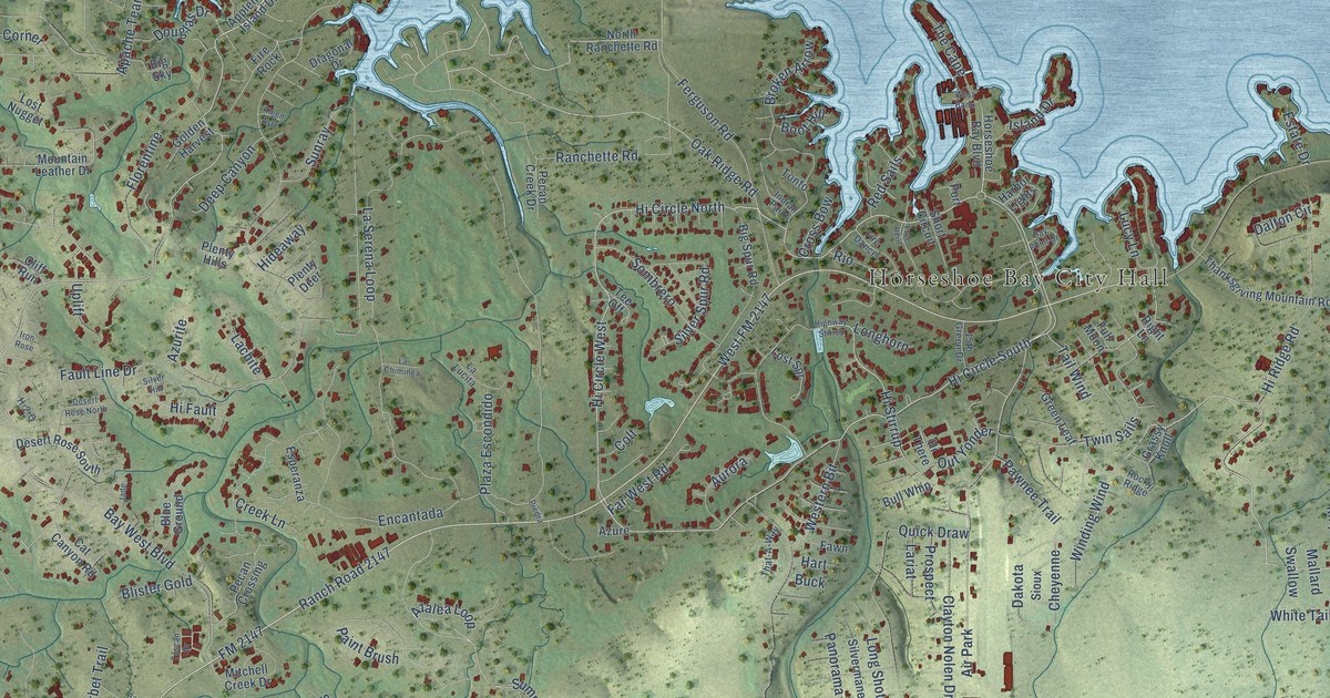
This beautifully detailed map of Horseshoe Bay, Texas was created in 2026 using aerial imagery combined with modern topographical, census, street and landmark data. It's a modern aerial view of Horseshoe Bay in Llano County, Texas, that combines modern data with a vintage aesthetic. The roads feature printed names, and if you look closely you can find your exact house accurately shown in its correct location.
Explore an aerial view of Horseshoe Bay, Texas
On this map you'll find Horseshoe Bay City Hall, Bay West Boulevard, Mountain Dew, Clayton Nolen Drive, Hi Circle South, Hi Circle North, Hi Circle West, Mountain Dew Circle, Ranch Road 2147, Sandy Harbor Drive, FM 2147, Summit Rock Boulevard, and more. Each red shape is a building, so zoom in on the preview and look for yours.
Here is a piece of Horseshoe Bay history, in the words of the record. The Handbook of Texas puts it this way: "Horseshoe Bay also has two banks, two churches, a police department, and a fire department."
Horseshoe Bay is a city in Llano County. The Census Bureau counted 4,257 people here in 2020.
Take a closer look at the Horseshoe Bay map
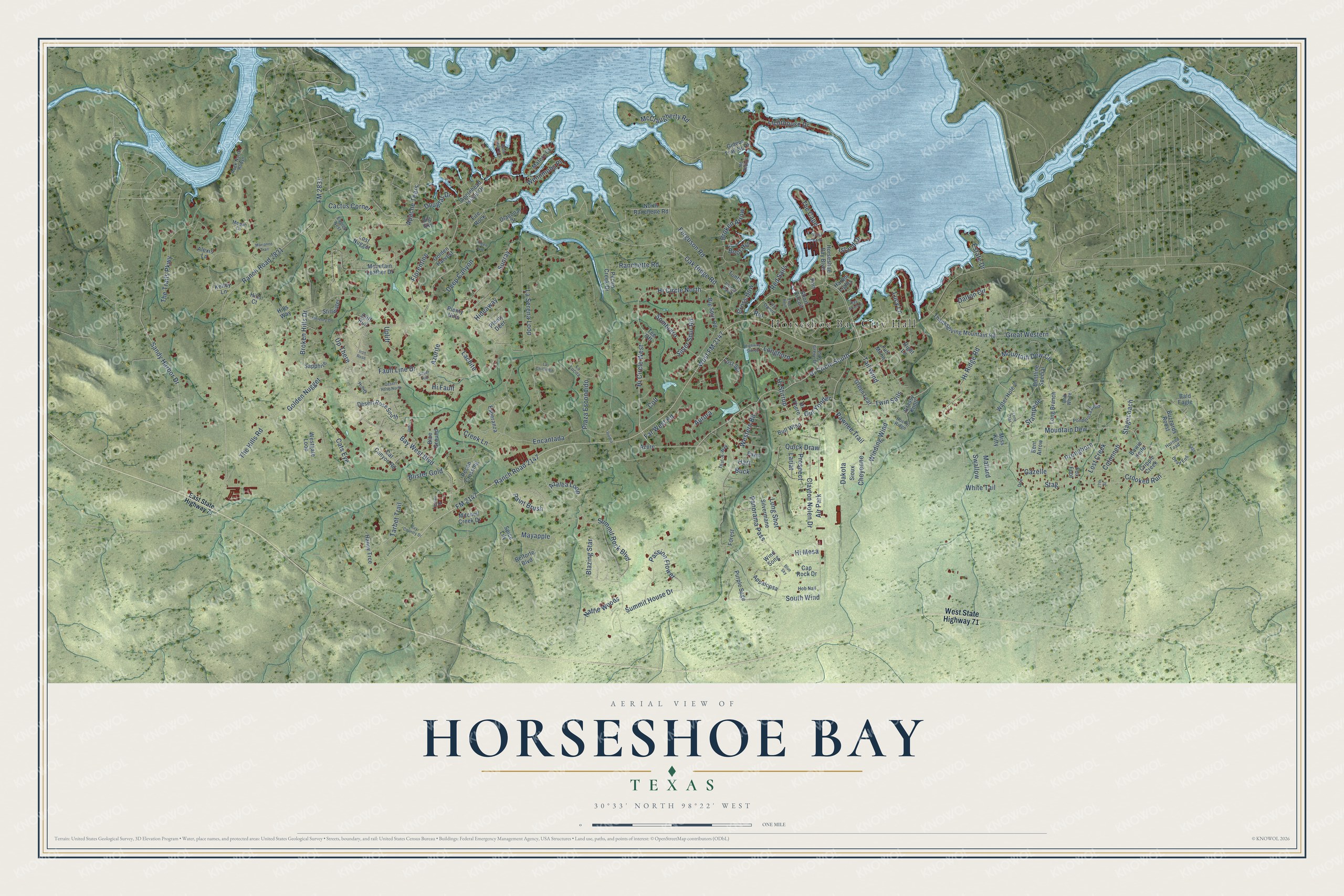
Created by KNOWOL in 2026. The buildings are small red shapes, the roads carry their printed names, and shaded relief shows the shape of the land. The title panel reads "AERIAL VIEW OF HORSESHOE BAY TEXAS" with 30°33' NORTH 98°22' WEST.
It suits a den, a classroom or a front hall, and it makes a gift for anyone with Horseshoe Bay roots. Open the preview and find the block you know. See sizes and frames for the Horseshoe Bay map.