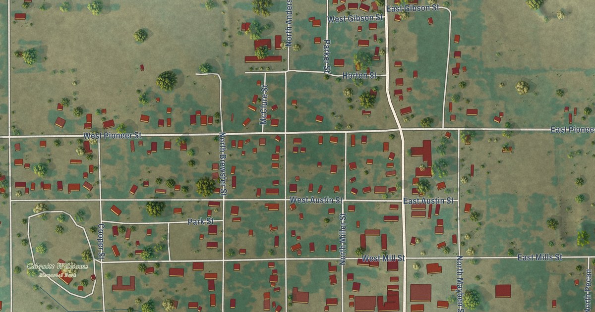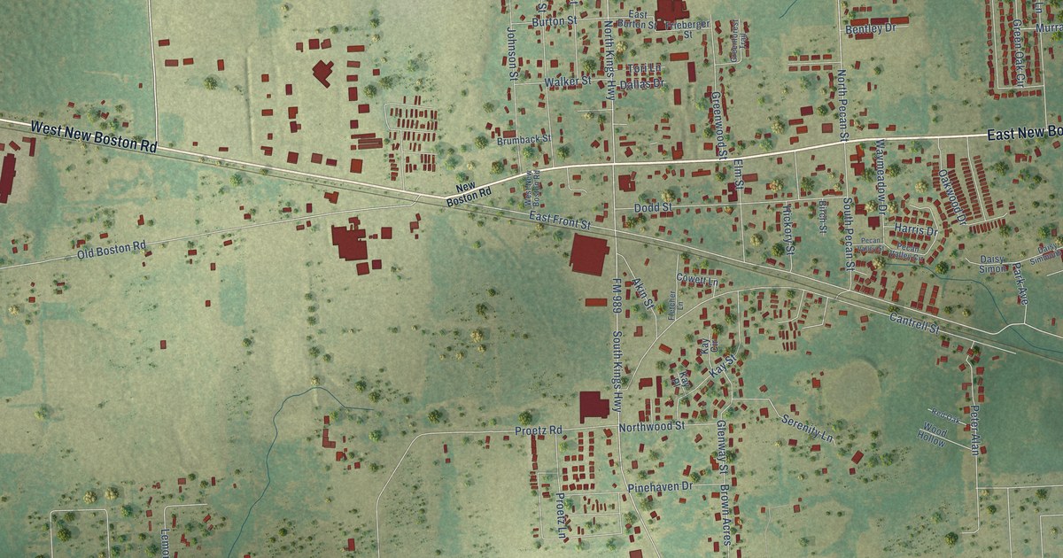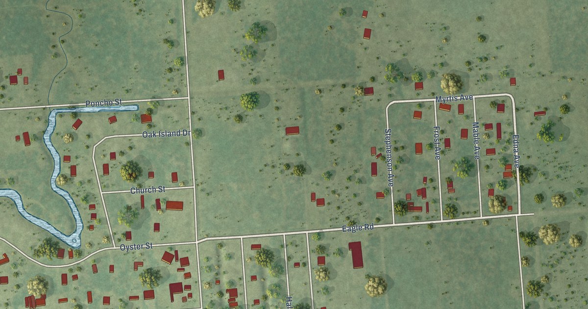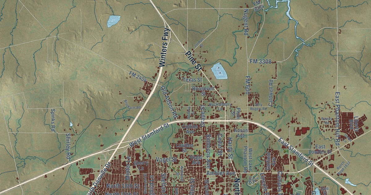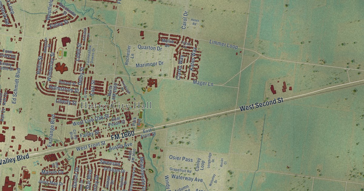
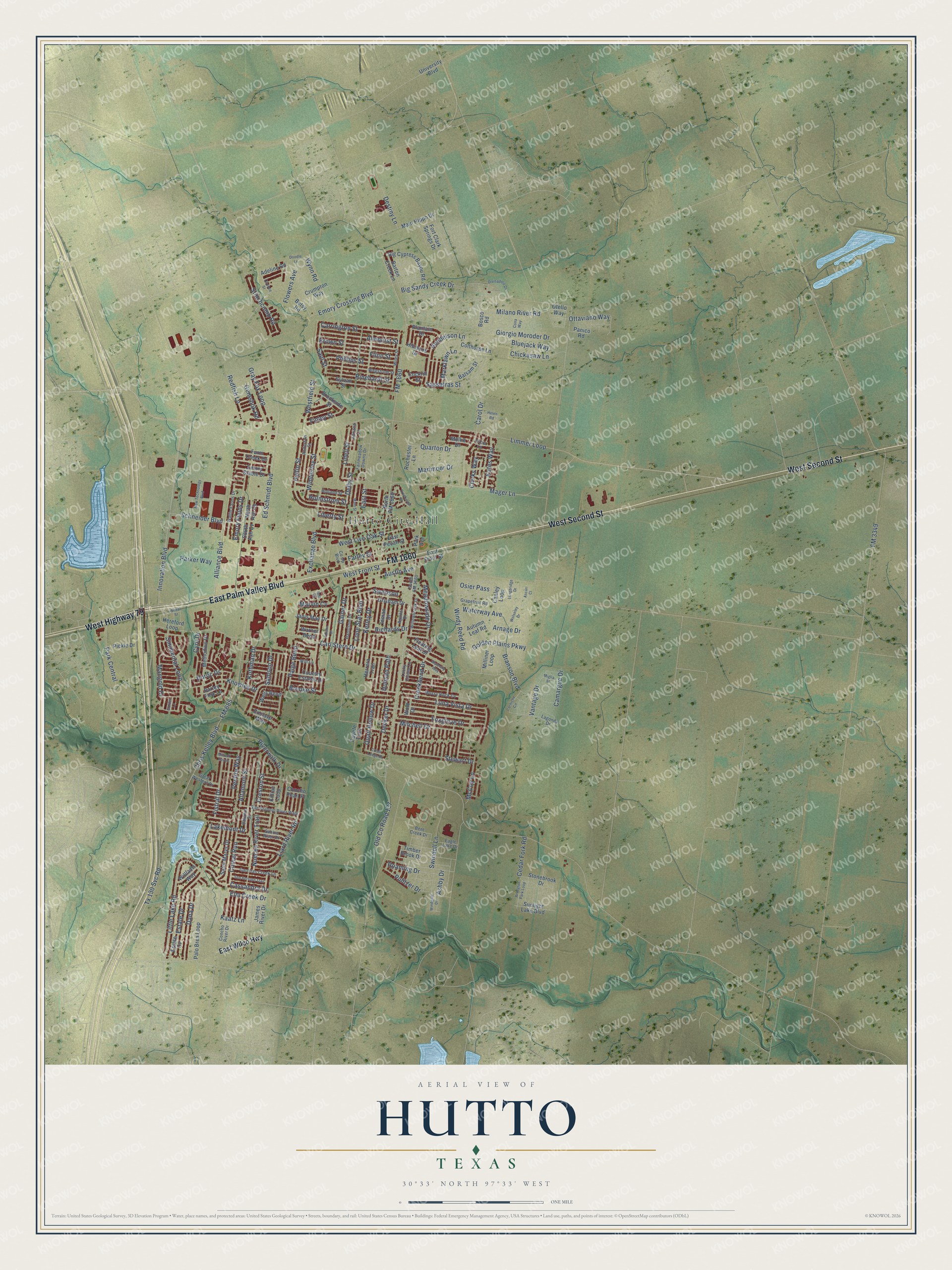
This beautifully detailed map of Hutto, Texas was created in 2026 using aerial imagery combined with modern topographical, census, street and landmark data. It’s a one-of-a-kind view of Hutto that combines accurate data with a vintage aesthetic. The map shows every building in its true location, many of the roads carry their names, and the shaded topographic relief shows the shape of the land.
Explore an aerial view of Hutto, Texas
On the map you’ll find Hutto City Hall, along with West Second Street, East Palm Valley Boulevard, West Highway 79, FM 1660, Alliance Boulevard, Marimoor Drive, Emory Crossing Boulevard, Milano River Road, Saul Street, Holmstrom Street, Delby Street, and more. If you look closely you can even find your house accurately drawn in its correct location. Zoom in on the preview to look for yours.
Did you know this piece of Hutto, Texas history?
From the Handbook of Texas: "The International-Great Northern Railroad, the first railroad in Williamson County, reached the site of Hutto in 1876 and purchased five acres of land for Hutto Station from James Emory Hutto, a local rancher."
Take a closer look at the Hutto map
Street and place names on the Hutto, Texas map
These names are printed on the map of Hutto, Texas.
Places: Hutto City Hall.
Streets and roads: West Second Street, East Palm Valley Boulevard, West Highway 79, FM 1660, Alliance Boulevard, Marimoor Drive, Emory Crossing Boulevard, Milano River Road, Saul Street, Holmstrom Street, Delby Street, Brooke Street.
More street names, A to Z
Adeline Road, Adriana Lane, Aguilar Drive, Almquist Street, Altamont Street, Anderson Street, Arlington Park Loop, Arnage Drive, Ascari Court, Ashby Drive, Austin Avenue, Autumn Leaf Road, Baldwin Street, Balsam Street, Barley Fork Lane, Barton Creek Lane, Bent Creek Drive, Betsy Road, Big Cypress Bayou Road, Big Sandy Creek Drive, Bluejack Way, Bosco Road, Branson Boulevard, Brookside Street, Brown Street, Camargue Drive, Canley Loop, Carl Stern Drive, Carol Drive, Carrington Street, Cassandra Drive, Cedar Fork Road, Chickasaw Lane, Chris Kelley Boulevard, Clarks Way, Cockrill Street, Colthorpe Lane, Comal Run, Cona Way, Concho Pearl Place, Concho River Drive, Co Op Boulevard, Corniche Circle, Country Estates Drive, Coyote Trail, Creekbend Drive, Creek Ledge Drive, Creekside Drive, Creston Street, Crumpton Way, Cyril Drive, Dana Drive, Decker Drive, Destiny Lane, Divisadero Drive, Doodle Lane, Duroc Drive, Eagle Lake Drive, East Front Street, East Pecan Street, East Street, East Wilco Highway, Edison Drive, Ed Schmidt Boulevard, Elm Creek Drive, Emory Fields Drive, Emory Stable Drive, Enclave Way, Estate Cv, Estate Drive, Exchange Boulevard, Fairmeadow Downs Drive, Farley Street, Farm Creek Drive, Finley Street, Fistral Drive, Flinn Street, Floating Leaf Drive, Flowers Avenue, FM 685, FM 3349, Fort Clark Springs Drive, Foxglove Drive, Gainer Drive, Garcitas Creek Lane, Gemsbok Road, Giorgio Moroder Drive, Golden Lane, Golden Plains Parkway, Grapefruit Road, Gray Fox Loop, Great Western Drive, Grisham Drive, Hanstrom Drive, Helen Road, Hendelson Lane, Hereford Loop, Herrera Trail, Hibiscus Drive, Holland Street, Holman Path, Hyltin Street, Inman Drive, Innovation Boulevard, Iola Drive, James River Drive, Janis Mae Drive, Kaatz Lane, Kates Way, Kerley Drive, Killian Loop, Knowles Drive, Kothman Drive, Lagonda Drive, Lakemont Drive, Liard River Road, Liberty Street, Lidell Street, Limmer Loop, Little Lake Road, Lone Star Boulevard, Longbridge Drive, Lucky Clover Lane, Luna Vista Drive, Mager Lane, Main Hippo Drive, Main Street, Mangold Drive, Marklawn Lane, Marvin Cv, McCoy Lane, Meadowside Drive, Methodius Drive, Miglia Street, Milliner Loop, Millook Haven, Mitchell Drive, Mollie Drive, Mossy Rock Cv, New Technology Boulevard, North Ash Cv, North FM 1660, Nueces River Trail, Oconee Street, Old County Road 137, Osier Pass, Otello Way, Ottaviano Way, Paige Bend, Palo Brea Loop, Panico Road, Park Avenue, Park Central, Parker Way, Pentire Way, Phillips Street, Pickle Drive, Plantain Drive, Pulitzer Drive, Quail Hollow Drive, Quarton Drive, Redfish Lane, Richards Drive, Rinehardt Street, Riverwalk Drive, Roaming Drive, Rochester Lane, Sabine River Drive, Saint Marys Drive, Samson Drive, San Antonio River Walk, San Bernard Trail, Sassafras Street, Schneider Boulevard, Simmental Loop, South Ash Cv, South FM 1660, Stewart Drive, Stinchcomb Road, Stonebrook Drive, Sunlight Lake Boulevard, Swenson, Swindoll Lane, Sylvan Street, Timber Brook Drive, Tricia Lane, Tx 130 Svc Road, University Boulevard, Vantage Drive, Wallin Farms Drive, Warner Bend, Waterlily Way, Waterway Avenue, Wegstrom Street, Wells Bend, Westfield Street, West Front Street, West Live Oak Street, Wheat Street, Wiley Street, Williams Way, Will Lane, Willowbrook Drive, Wimberley Street, Windgate Drive, Windy Reed Road, Wold Drive, Wolseley Drive, Wynn Road.
See the Hutto, Texas map on a wall
The Hutto map as an 18 x 24 inch print in a black frame.

This beautifully detailed map of Hutto makes an attractive addition to your office, library, or den, and it can even be used to teach children the geography and history of the area. It also makes a great gift for someone who left Hutto and still calls it home. When you’re done exploring, click here to get your copy of the Hutto map.