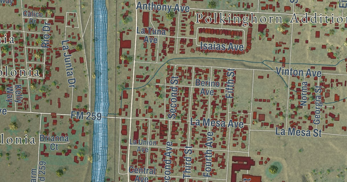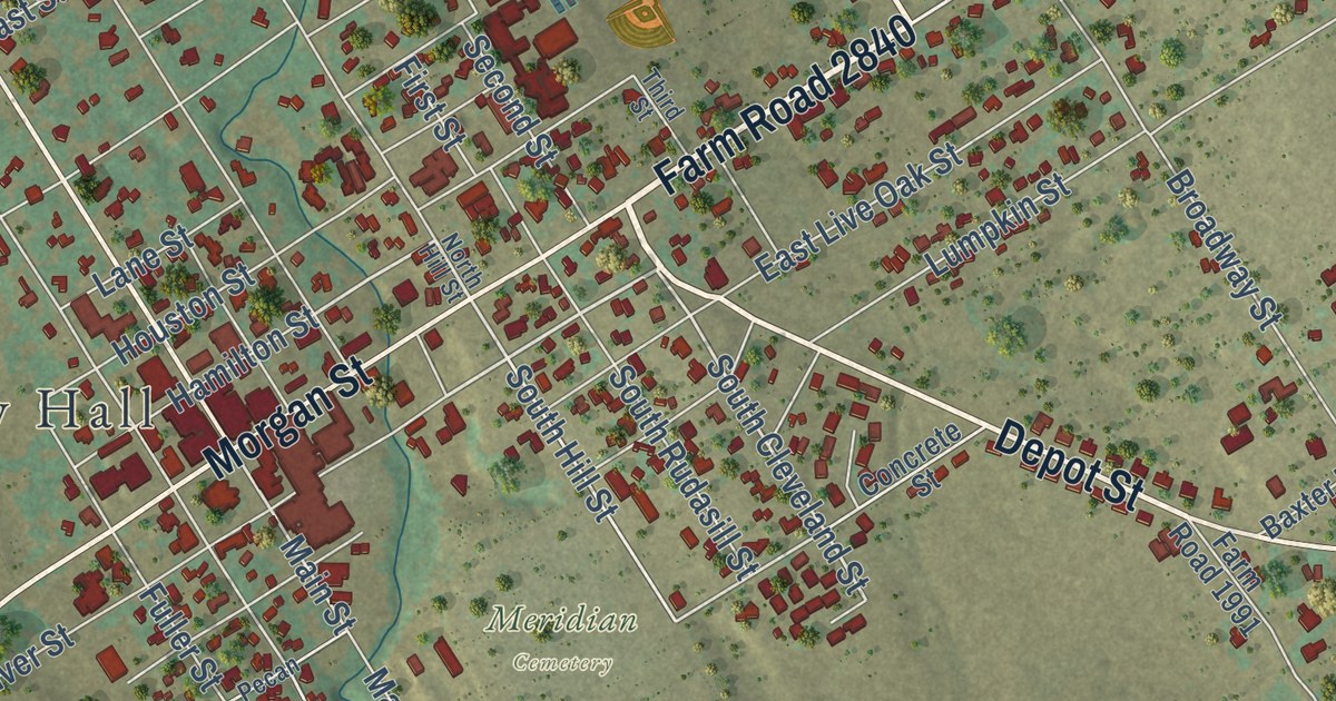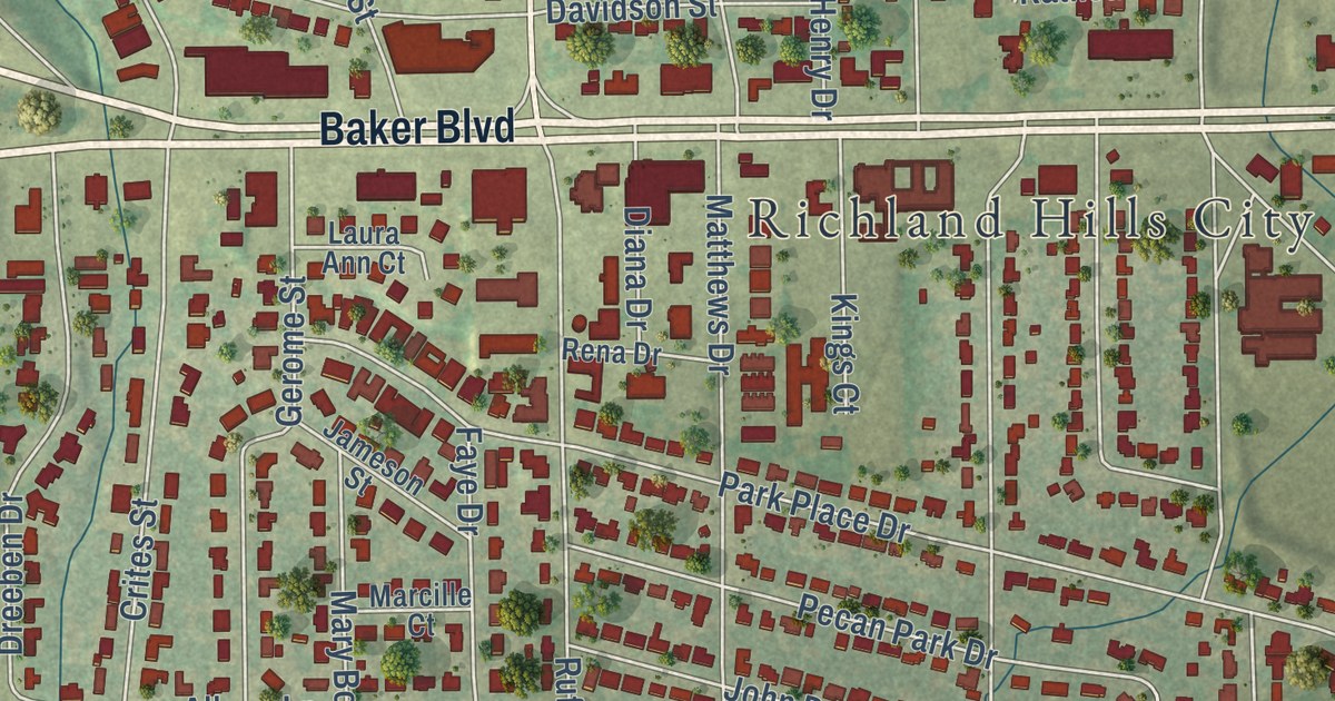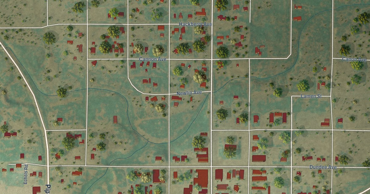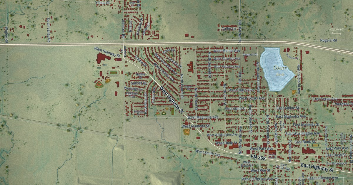
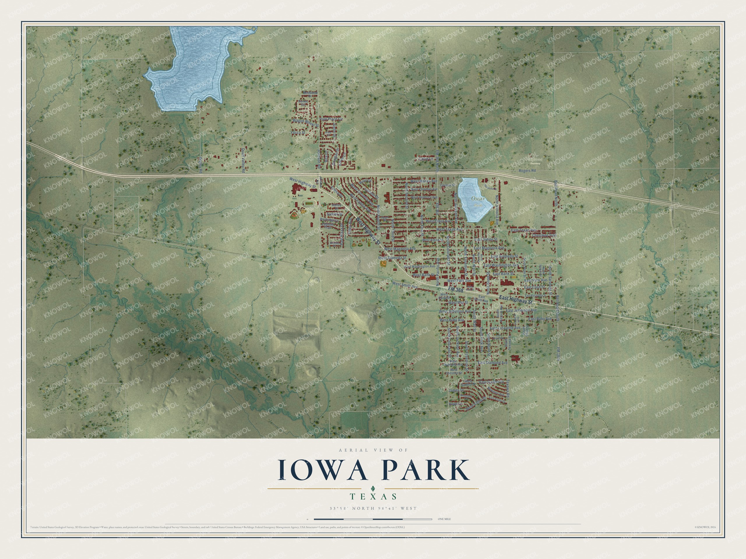
This beautifully detailed map of Iowa Park, Texas was created in 2026 using aerial imagery combined with modern topographical, census, street and landmark data. It’s a one-of-a-kind view of Iowa Park that combines accurate data with a vintage aesthetic. The map shows every building in its true location, many of the roads carry their names, and the shaded topographic relief shows the shape of the land.
Explore an aerial view of Iowa Park, Texas
On the map you’ll find Highland Cemetery and Oscar Park, along with West Highway Street, East Highway Street, FM 368, FM 1814, North Wall Street, South Wall Street, Johnson Road, Bell Road South, East Texas Avenue, North Yosemite Street, and more. If you look closely you can even find your house accurately drawn in its correct location. Zoom in on the preview to look for yours.
Did you know this piece of Iowa Park, Texas history?
From the Handbook of Texas: "Iowa Park incorporated in 1891, and that year a fire destroyed much of the town."
Take a closer look at the Iowa Park map
Street and place names on the Iowa Park, Texas map
These names are printed on the map of Iowa Park, Texas.
Places: Highland Cemetery and Oscar Park.
Streets and roads: West Highway Street, East Highway Street, FM 368, FM 1814, North Wall Street, South Wall Street, Johnson Road, Bell Road South, East Texas Avenue, North Yosemite Street, West Ruby Avenue, East Lafayette Avenue.
More street names, A to Z
Bell Road North, Bentwood Drive, Bluejacket Drive, Bluejay Drive, Brady Court, Callie Lane, Cherokee Trail, Council Drive, Douglas Drive, East Alameda Street, East Aldine Street, East Bank Street, East Cash Street, East Diamond Avenue, East Garden Drive, East Jefferson Avenue, East Magnolia Avenue, East Park Avenue, East Pasadena Street, East Pecan Avenue, East Ruby Avenue, East Smith Avenue, East Valley Drive, East Washington Avenue, Edgehill Trail, Emma Drive, FM 368 North, Foley Avenue, Harley Court, Hope Lane, James Drive, Justin Drive, Karen Lane, Lincoln Drive, Newman Avenue, North Bond Street, North Colorado Street, North First Street, North Fourth Street, North Jackson Avenue, North Pacific Avenue, North Park Avenue, North Penn Street, North Saratoga Street, North Second Street, North Seneca Street, North Third Street, North Victoria Avenue, Park Place Circle, Park Plaza Drive, Quail Valley Road, Rita Lane, Rogers Road, South Alcott Avenue, South Bond Street, South Colorado Street, South Jackson Avenue, South Park Avenue, South Penn Street, South Texowa Street, South Victoria Avenue, South Yosemite Street, Sunset Drive, Surrey Circle, Texowa Road, Vogel Street, Wagon Wheel Street, West Alameda Street, West Aldine Street, West Bank Street, West Cash Street, West Chestnut Street, West Clara Avenue, West Coleman Avenue, West Cornelia Avenue, West Daisy Street, West Diamond Avenue, West Garden Drive, West Jefferson Avenue, West Louisa Avenue, West Magnolia Avenue, West Manes Avenue, West Park Avenue, West Poe Street, West Rebecca Avenue, Westridge Lane, West Smith Avenue, West Texas Avenue, West Valley Drive, Westview Lane, West Washington Avenue, Wigley Road, Wood Circle, Yucca Street.
See the Iowa Park, Texas map on a wall
The Iowa Park map as an 18 x 24 inch print in a black frame.

This beautifully detailed map of Iowa Park makes an attractive addition to your office, library, or den, and it can even be used to teach children the geography and history of the area. It also makes a great gift for anyone with Iowa Park roots. When you’re done exploring, click here to get your copy of the Iowa Park map.