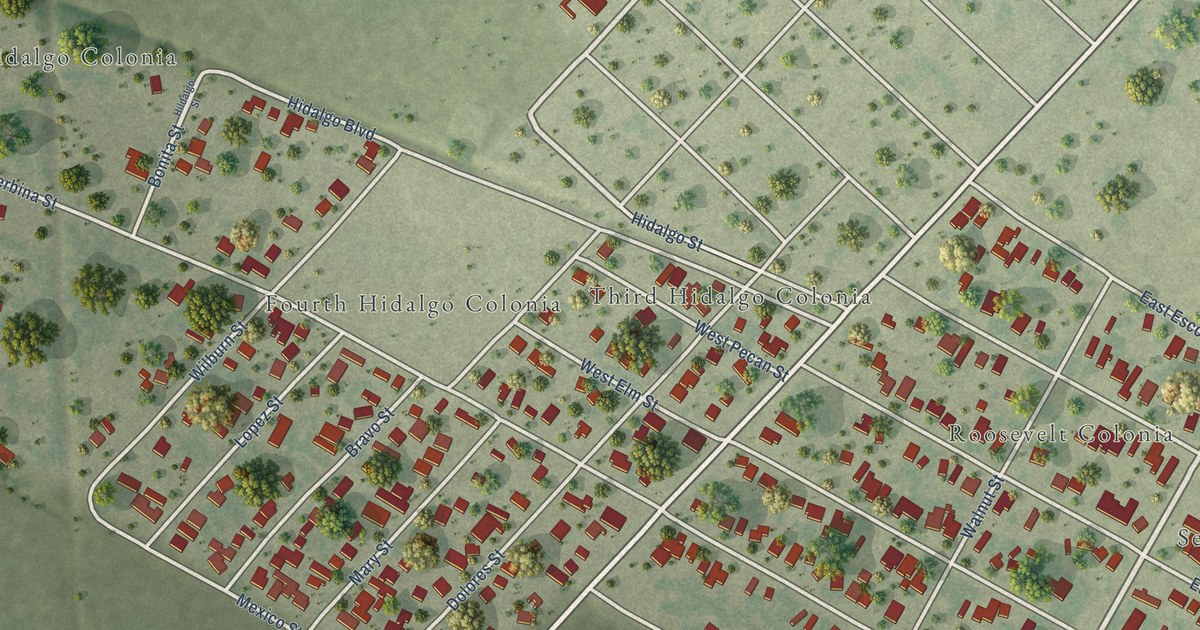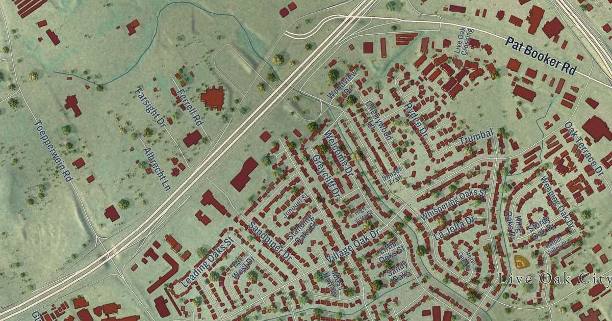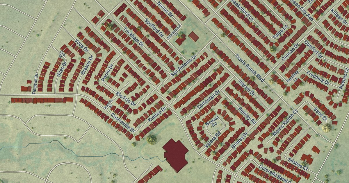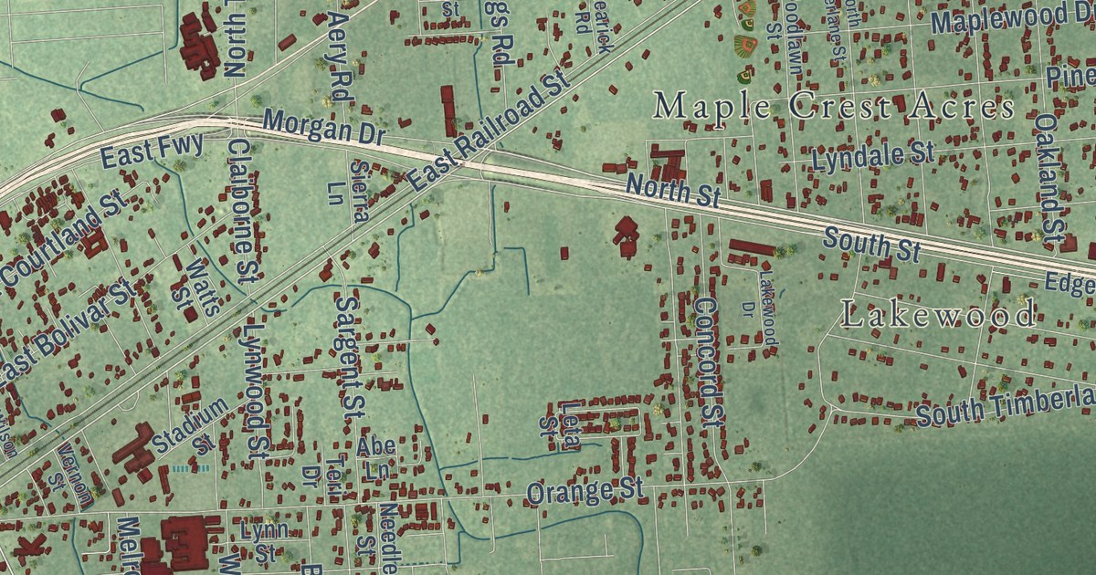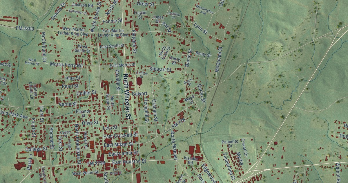
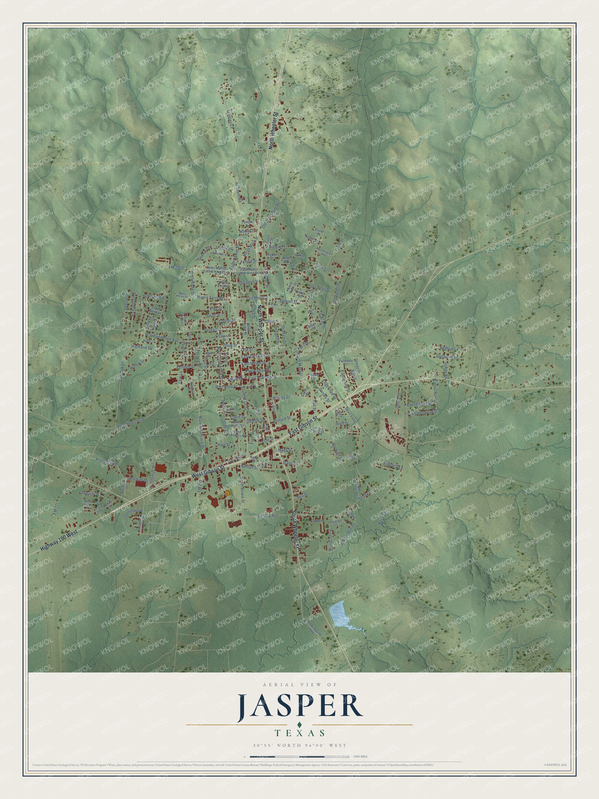
This beautifully detailed map of Jasper, Texas was created in 2026 using aerial imagery combined with modern topographical, census, street and landmark data. It’s a one-of-a-kind view of Jasper that combines accurate data with a vintage aesthetic. The map shows every building in its true location, many of the roads carry their names, and the shaded topographic relief shows the shape of the land.
Explore an aerial view of Jasper, Texas
On the map you’ll find North Manuel, along with West Gibson Street, East Gibson Street, South Wheeler Street, North Wheeler Street, Highway 190 West, North Main Street, East Houston Street, South Main Street, Old Brookland Road, Hursey Street, Othello Street, and more. If you look closely you can even find your house accurately drawn in its correct location. Zoom in on the preview to look for yours.
Did you know this piece of Jasper, Texas history?
From the Handbook of Texas: "Jasper also became the headquarters of Morgan and Lindsey, Incorporated, variety chain stores, which at one time operated eighty-five stores in Texas, Arkansas, Louisiana, and Mississippi."
Take a closer look at the Jasper map
Street names on the Jasper, Texas map
These names are printed on the map of Jasper, Texas.
Streets and roads: West Gibson Street, East Gibson Street, South Wheeler Street, North Wheeler Street, Highway 190 West, North Main Street, East Houston Street, South Main Street, Old Brookland Road, Hursey Street, North Manuel, Othello Street.
More street names, A to Z
Acton Street, Beaty Street, Beechwood Street, Bell Drive, Berry Street, Bevil Lane, Bevil Loop, Black Street, Brian Street, Bulldog Avenue, Burch Street, Caldwell Street, Calvert, Carlton Drive, Carter Street, Cavin Street, Cedrick Street, Cinnamon Oak Street, Cole Street, College Street, Collier Street, Cottonwood, Cowart Drive, Creek Bend Drive, Crestwood Drive, Cruse Street, Curtis, Dacus Street, Dennis Drive, Denton Drive, Derrick Street, Dogwood Drive, Dogwood Lane, Donna Drive, Dorsey Street, Eastbay Drive, East Crockett Street, East Lamar Street, East Martin Luther King Boulevard, East Milam Street, East Morris Street, East Smith Street, East Water Street, Edgewood Street, Eleanor Street, Fennie Street, First Street, Fletcher Street, FM 252, FM 776, FM 777, FM 2799, FM 2800, Fourth Street, Frances Lane, Fred Street, Golden Drive, Graham Street, Greer Street, Hale Street, Hall Street, Hemphill Street, Hi-Truitt Road, Hickory Lane, Highland Drive, Hodges Street, Hollins Drive, Holly Lane, Hopkins Drive, Hulett Drive, Hunterwood Drive, Inman Road, Jackson Road, Jenkins Street, Jones Drive, Kelly Street, Kyle Drive, Lela Street, Linton Lanier Lane, Live Oak Lane, Lynn Street, Maple Lane, Marvin Hancock Drive, Mayo Street, Mays Street, McArthur Drive, McClelland Drive, McQueen Street, Morris Ferry Road, Myrtis, Nelson Street, North Austin Street, North Bowie Street, North Ervin Street, North Peachtree Street, Oak Grove Road, Ogden Street, Old Kirbyville Highway, Olive Street, Otis Street, Palmetto Drive, Park Lane, Pat Street, Pearl Street, Pinecrest Drive, Pine Street, Pollard Street, Powell Street, Premier Drive, Premium Drive, Prospect Road, Redbud Lane, Renfro Street, Richardson Drive, Rosewood Drive, Second Street, Shady Lane, Sheila Street, South Bowie Street, South Fletcher Street, South Peachtree Street, Springhill Street, State Street, Stewart Street, Suncrest Lane, Sylvester Street, Temple Drive, Third Street, Thomas Street, Timberline Street, Traylor Street, Twin Street, Valley Drive, Verna Street, Vine Street, Visador Road, Walea Street, Walnut Run Drive, Walnut Run Street, Washington Avenue, West Childers Street, West Houston Street, West Martin Luther King Boulevard, West Morris Street, West Othello Street, West Smith Street, West Water Street, Willow Drive, Woodland Park Avenue, Zavalla Street, Zube Street.
See the Jasper, Texas map on a wall
The Jasper map as an 18 x 24 inch print in a black frame.

This beautifully detailed map of Jasper makes an attractive addition to your office, library, or den, and it can even be used to teach children the geography and history of the area. It also makes a great gift for someone who left Jasper and still calls it home. When you’re done exploring, click here to get your copy of the Jasper map.