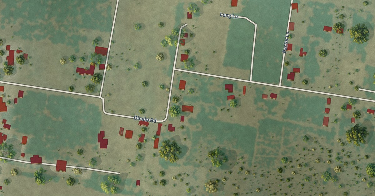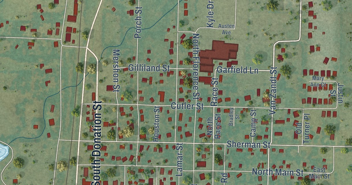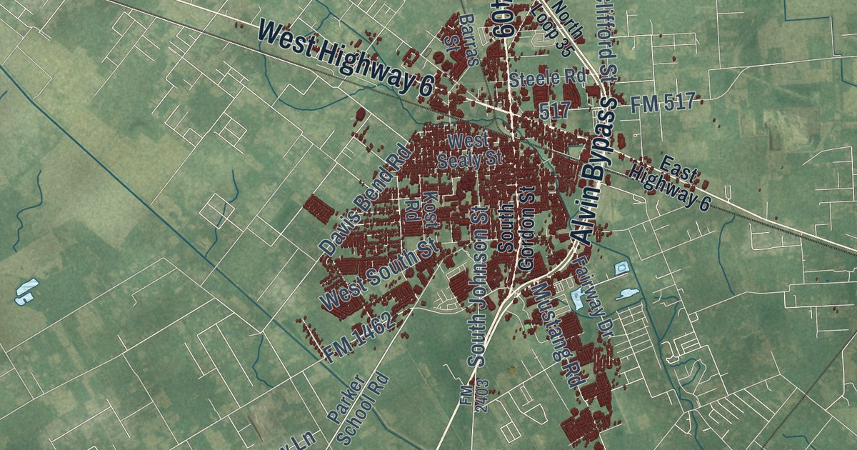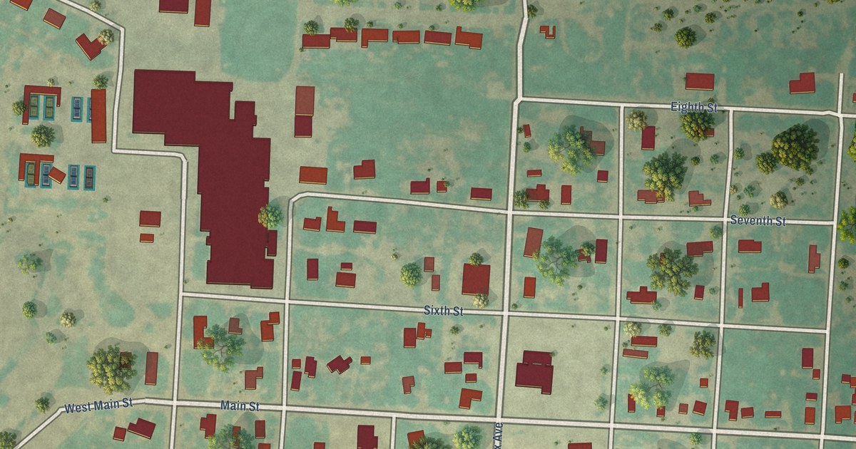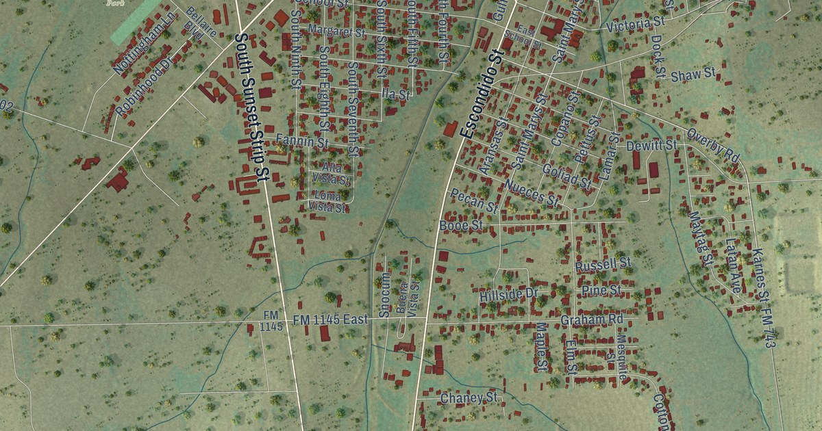
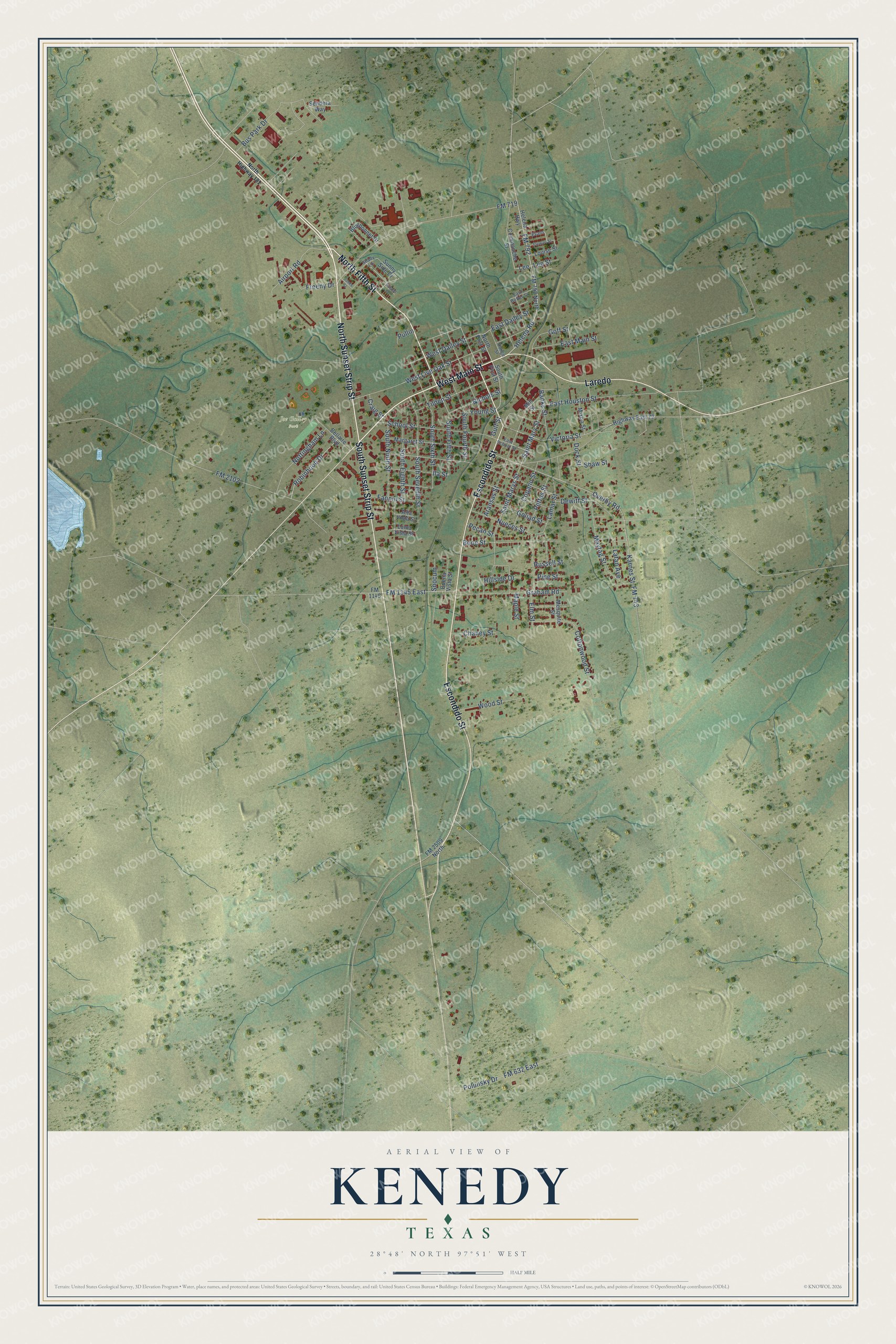
This beautifully detailed map of Kenedy, Texas was created in 2026 using aerial imagery combined with modern topographical, census, street and landmark data. It’s a one-of-a-kind view of Kenedy that combines accurate data with a vintage aesthetic. The map shows every building in its true location, many of the roads carry their names, and the shaded topographic relief shows the shape of the land.
Explore an aerial view of Kenedy, Texas
On the map you’ll find Joe Gulley Park and Laredo, along with North Sunset Strip Street, West Main Street, North Fifth Street, South Sunset Strip Street, Escondido Street, Helena Road, South Fifth Street, Victoria Street, Karnes Street, South Sixth Street, and more. If you look closely you can even find your house accurately drawn in its correct location. Zoom in on the preview to look for yours.
Did you know this piece of Kenedy, Texas history?
From the Handbook of Texas: "The Dry Escondido church was moved to Kenedy Junction in 1887, partly because the building had been wrecked by the storm of 1886 and partly because of the increased activity at Kenedy Junction."
Take a closer look at the Kenedy map
Street and place names on the Kenedy, Texas map
These names are printed on the map of Kenedy, Texas.
Places: Joe Gulley Park.
Streets and roads: North Sunset Strip Street, West Main Street, North Fifth Street, South Sunset Strip Street, Laredo, Escondido Street, Helena Road, South Fifth Street, Victoria Street, Karnes Street, South Sixth Street, Lee.
More street names, A to Z
Airport Road, Alta Vista Street, Aransas Street, Banks Street, Bellaire Boulevard, Bluebonnet Drive, Booe Street, Buena Vista Street, Bus Park Drive, Chaney Street, Commanche Street, Copano Street, Cottonwood Street, Craig Street, Dewitt Street, Dock Street, East Butler Street, East Dailey Street, East Houston Street, East Main Street, East School Street, Elm Street, Evans, Fannin Street, FM 632 East, FM 719, FM 743, FM 792, FM 792 North, FM 1145, FM 1145 East, FM 2102, FM 2509 North, Freeny Drive, Goff Street, Goliad Street, Graham Road, Gulf Street, Helena Highway, Highway East 72, Hillside Drive, Hyland Drive, Ila Street, Jones Street, Lamar Street, Latan Avenue, Lee Street, Loma Vista Street, Louise Street, Maple Street, Margaret Street, Maytag Street, Mesquite Street, Mill Street, Mixon Street, Nichols Street, North First Street, North Highway 181, Nottingham Lane, Nueces Street, Overby Road, Pecan Street, Pettus Street, Pine Street, Polunsky Drive, Pullin, Robinhood Drive, Runge Street, Russell Street, Saint Marys Street, Saint Mary Street, School Street, Sendera Way, Shady Lane, Shaw Street, Snocum, South Eighth Street, South First Street, South Fourth Street, South Ninth Street, South Seventh Street, Stewart Street, Sunny Side Drive, Tilden Street, West Dailey Street, West Live Oak Street, Wood Street, Young Street.
See the Kenedy, Texas map on a wall
The Kenedy map as an 18 x 24 inch print in a black frame.

This beautifully detailed map of Kenedy makes an attractive addition to your office, library, or den, and it can even be used to teach children the geography and history of the area. It also makes a great gift for someone who left Kenedy and still calls it home. When you’re done exploring, click here to get your copy of the Kenedy map.