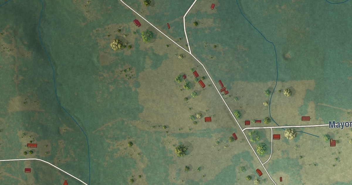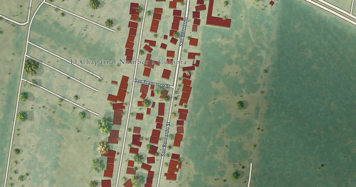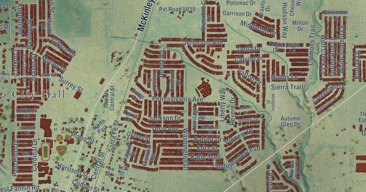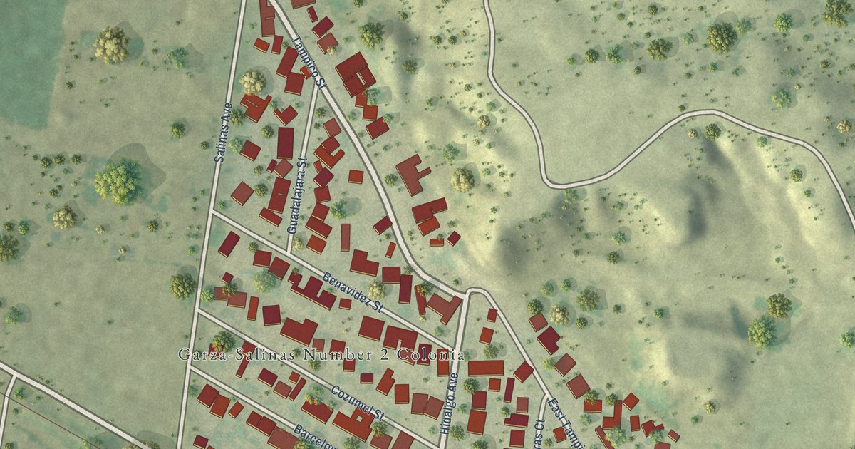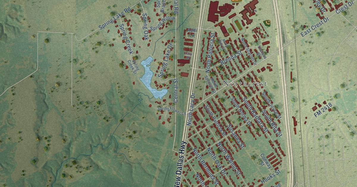
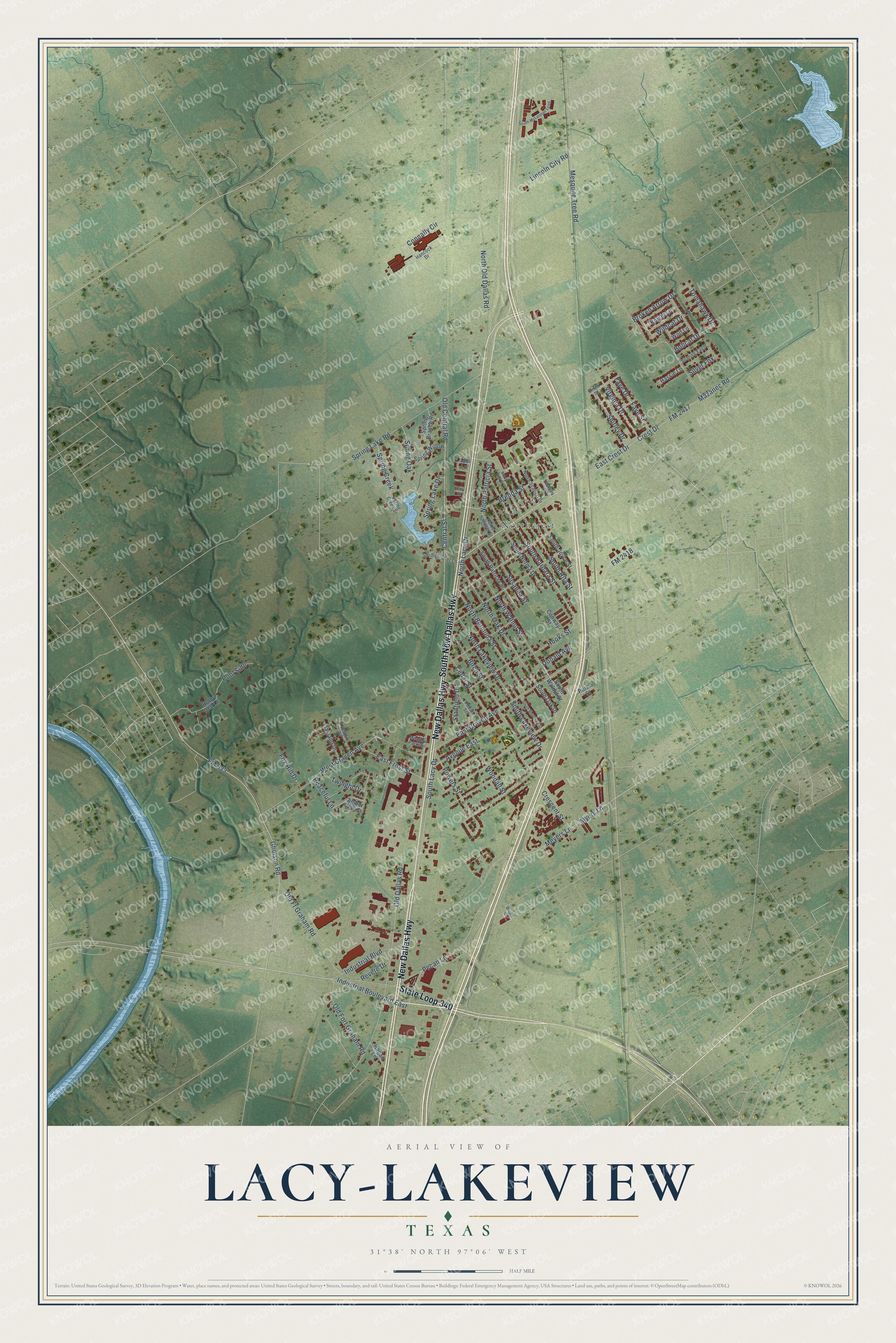
This beautifully detailed map of Lacy-Lakeview, Texas was created in 2026 using aerial imagery combined with modern topographical, census, street and landmark data. It’s a one-of-a-kind view of Lacy-Lakeview that combines accurate data with a vintage aesthetic. The map shows every building in its true location, many of the roads carry their names, and the shaded topographic relief shows the shape of the land.
Explore an aerial view of Lacy-Lakeview, Texas
On the map you’ll find Northcrest, along with South New Dallas Highway, State Loop 340, New Dallas Highway, East Crest Drive, South Lacy Drive, Hooks Street, FM 933, South Barbara Street, Old Central Road, North Old Dallas Road, North Patricia Street, and more. If you look closely you can even find your house accurately drawn in its correct location. Zoom in on the preview to look for yours.
Did you know this piece of Lacy-Lakeview, Texas history?
From the Handbook of Texas: "Lakeview, also a station on the interurban railroad, was named for its location near some small spring-fed lakes."
Take a closer look at the Lacy-Lakeview map
Street and place names on the Lacy-Lakeview, Texas map
These names are printed on the map of Lacy-Lakeview, Texas.
Places: Northcrest.
Streets and roads: South New Dallas Highway, State Loop 340, New Dallas Highway, East Crest Drive, South Lacy Drive, Hooks Street, FM 933, South Barbara Street, Old Central Road, North Old Dallas Road, North Patricia Street, Old Dallas Road.
More street names, A to Z
Addi Lane, Amber Way Street, Avenue East, Birch Street, Bobcat Drive, Brenda Street, Broken Arrow Drive, Brown Drive, Cedar Street, Central Street, Connally Circle, Conway Street, Crescent Street, Crest Drive, Cresthill Drive, Donald Avenue, East Craven Avenue, East Frost Street, Faye Drive, Faye Street, FM 2417, FM 2418, Fox Hill Drive, Gholson Road, Hancock Drive, Hassie Lane, Hogan Lane, Industrial Boulevard, Industrial Boulevard East, Knight Lane, Lacy Drive, Lincoln City Road, Mazanec Road, Meadow Park Circle, Mesquite Tree Road, Meyers Lane, Myers Lane, North Bermuda Street, North Lacy Drive, North Lakeview Drive, North Oak Drive, North Rita Street, North Scarlett Drive, North Spencer Street, North Walnut Street, Oakland Drive, Old Fort Graham Road, Old Ft Graham Road, Peaceful Lane, Pecan Lane, Pecan Street, Pool Side, Powers Street, Purvis Street, Revere Drive, Ruby Dell Lane, Shirley Drive, Silver Fox, Smith Street, Soaring Eagle, South Bermuda Street, South Joyce Street, South Lakeview Drive, South McLennan Loop, South Norma Drive, South Oak Drive, South Patricia Street, South Rita Street, South Walnut Street, Spring Branch Road, Spring Creek, Spring Creek Street, Spring Flower Lane, Spring Lake Drive, Spring Lake Road, Spring Oak, Spring Willow, Stanfield Drive, Susanna Street, Theresa Street, Tomahawk Drive, Twilight Drive, Virginia Drive, West Craven Avenue, Wildcat Drive, Wolf Lane, Woodall Street.
See the Lacy-Lakeview, Texas map on a wall
The Lacy-Lakeview map as an 18 x 24 inch print in a black frame.

This beautifully detailed map of Lacy-Lakeview makes an attractive addition to your office, library, or den, and it can even be used to teach children the geography and history of the area. It also makes a great gift for someone who left Lacy-Lakeview and still calls it home. When you’re done exploring, click here to get your copy of the Lacy-Lakeview map.