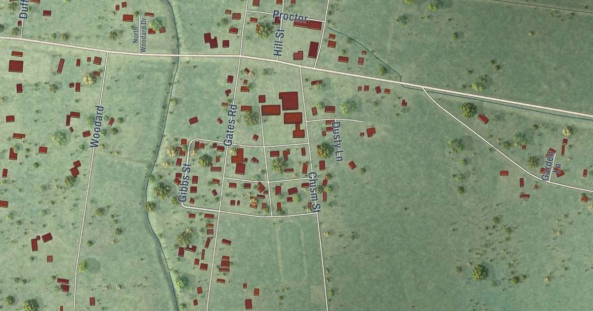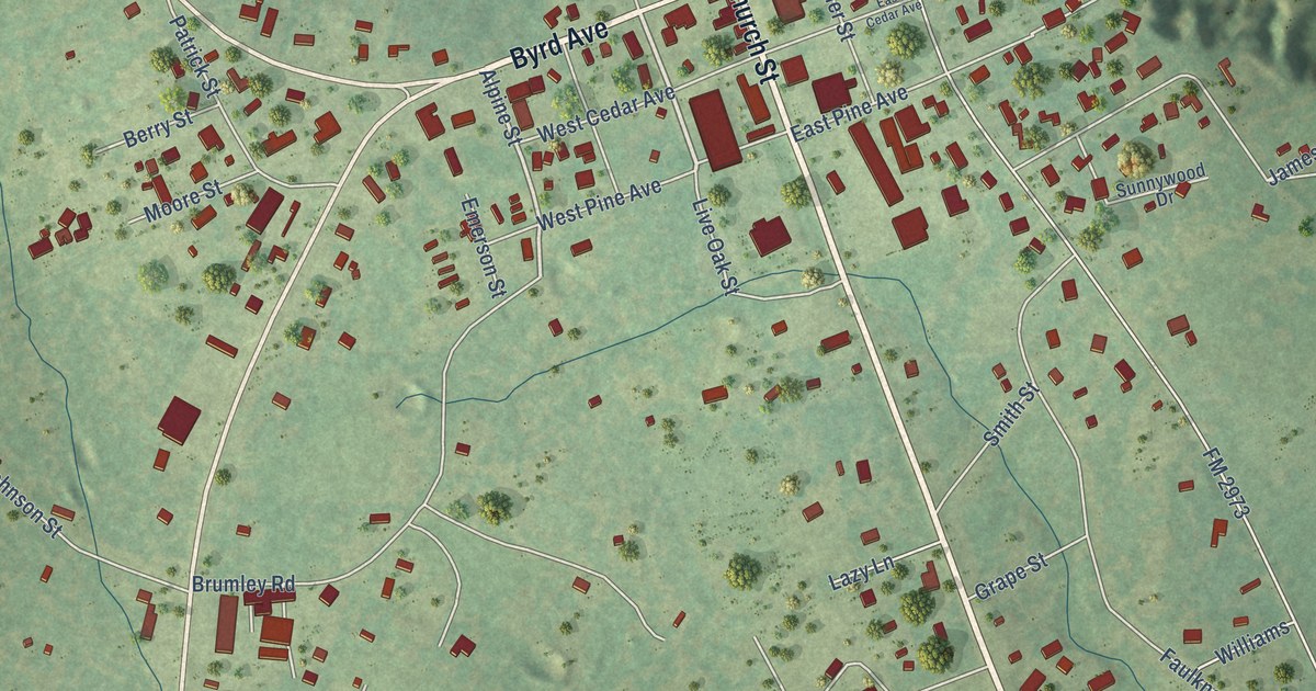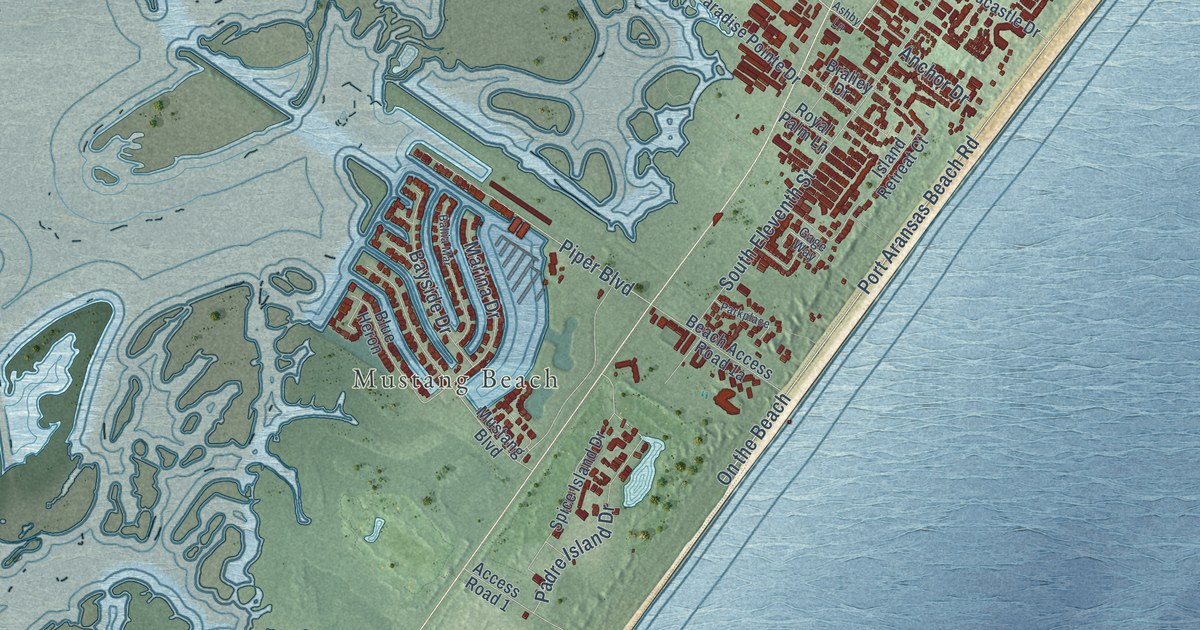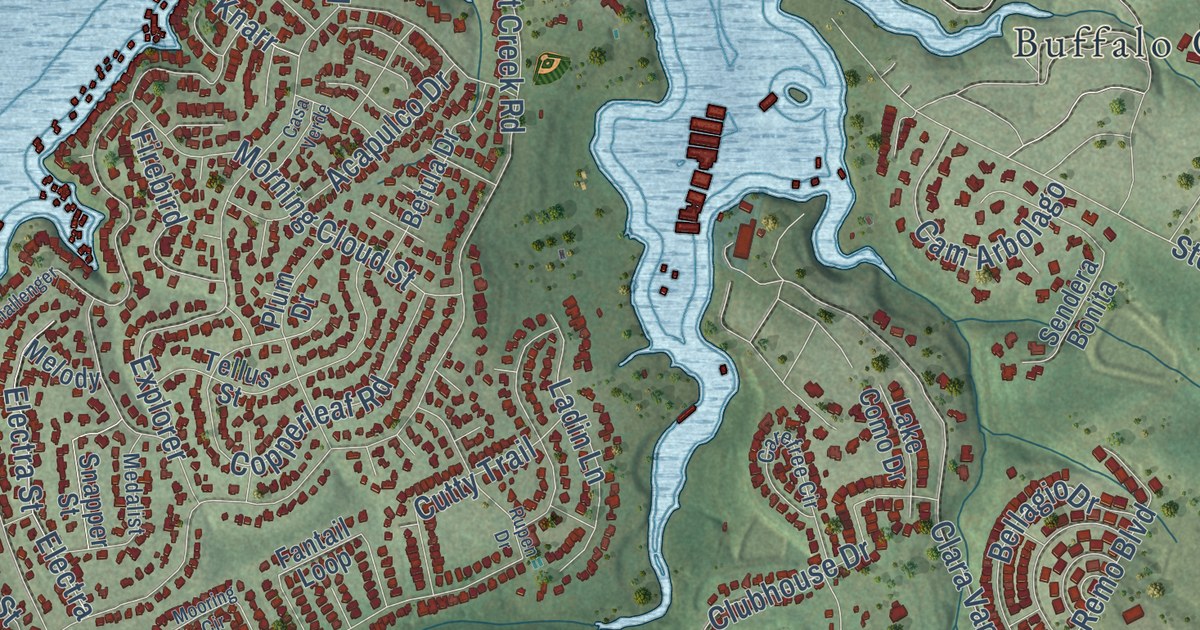
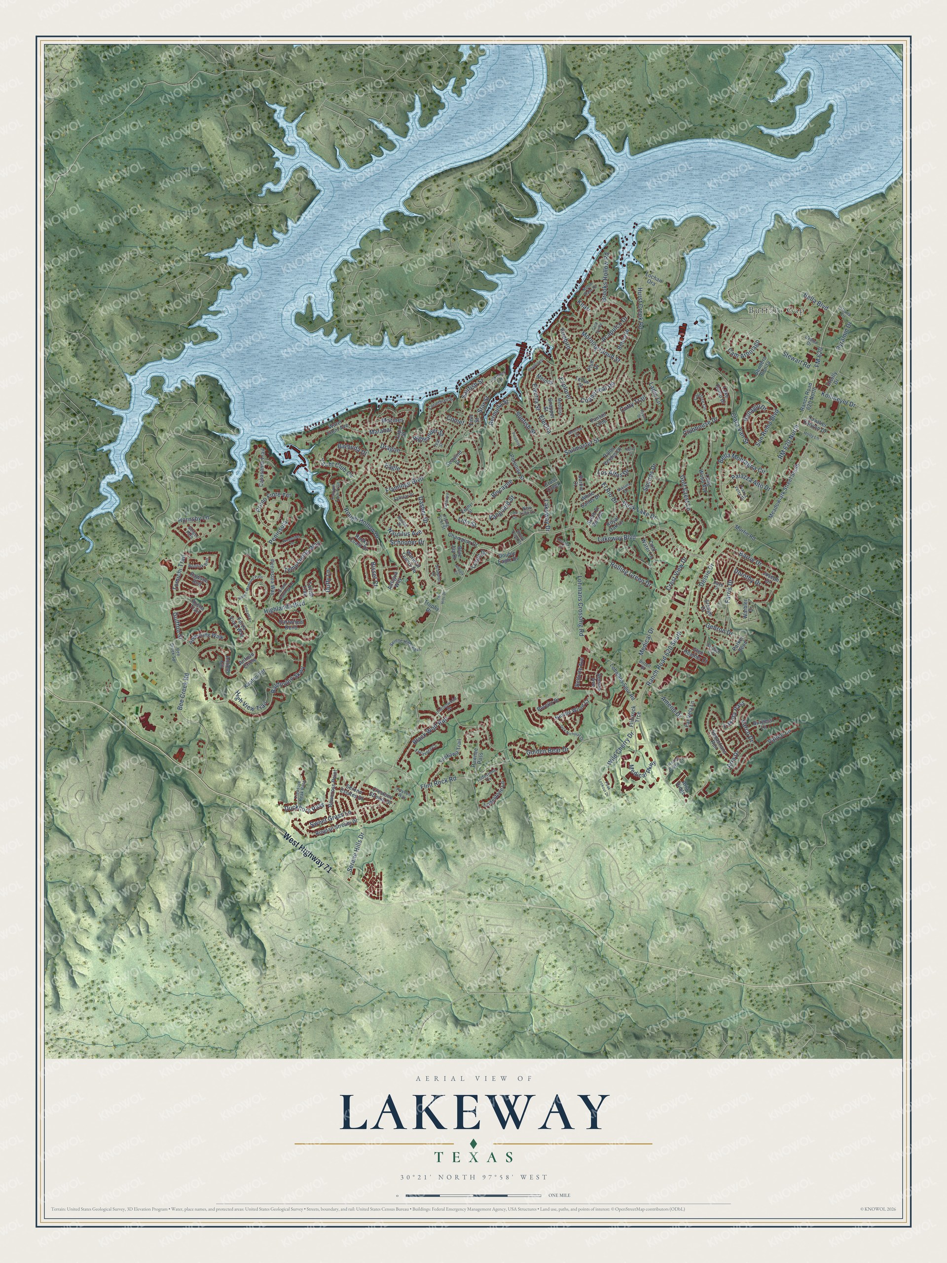
This beautifully detailed map of Lakeway, Texas was created in 2026 using aerial imagery combined with modern topographical, census, street and landmark data. It’s a one-of-a-kind view of Lakeway that combines accurate data with a vintage aesthetic. The map shows every building in its true location, many of the roads carry their names, and the shaded topographic relief shows the shape of the land.
Explore an aerial view of Lakeway, Texas
On the map you’ll find Buffalo Gap, Knarr, Ranch Road 620 South, and Baldovino Skwy, along with West Highway 71, Lakeway Boulevard, Lakeway Drive, Serene Hills Drive, Star Street, Highlands Boulevard, Lohmans Crossing Road, Bee Creek Road, and more. If you look closely you can even find your house accurately drawn in its correct location. Zoom in on the preview to look for yours.
Did you know this about Lakeway, Texas?
From the Handbook of Texas: "Residents also elected a three-man governing commission, including Newt Herndon, Lakeway's first mayor."
Take a closer look at the Lakeway map
Street and place names on the Lakeway, Texas map
These names are printed on the map of Lakeway, Texas.
Places: Buffalo Gap.
Streets and roads: West Highway 71, Lakeway Boulevard, Serene Hills Drive, Lakeway Drive, Star Street, Ranch Road 620 South, Lido Street, Highlands Boulevard, Lohmans Crossing Road, Baldovino Skwy, Bee Creek Road, Hurst Creek Road.
More street names, A to Z
Abbeyville Walk, Acapulco Drive, Airpark Court, Ameno Drive, Amiata Avenue, Anfield Circle, Anfield Cricle, Antigua Way, Aria Drive, Aria Ridge, Avena Trail, Barbie Court, Barbuda Drive, Barrie Drive, Bee Creek Spr, Belforte Avenue, Bella Boulevard, Bellagio Drive, Bella Montagna Circle, Bermuda Street, Betula Drive, Birrell Street, Biscayne, Bisset Court, Black Wolf Run, Blue Jay Drive, Bonfisk Bnd, Borello Drive, Bowcross Point, Brooks Hollow Road, Burgess Lane, Cam Arbolago, Canyon Turn Trail, Capri Street, Carefree Circle, Cartwheel Bend, Casasanta Trail, Casa Verde, Cavalier Canyon Drive, Challenger, Champion Drive, Clara Van Street, Clubhouse Drive, Cold Water Lane, Comet, Copperleaf Road, Corinthian Street, Crestone Stream Drive, Crest View Drive, Cross Creek, Cutty Trail, Dasher Drive, Dave Drive, Debba Drive, Delsie Drive, Dorothy Drive, Double Eagle Drive, Dragon, Duckhorn Pass, Duck Lake Drive, Duffy Lane, Eagle, Electra, Electra Street, El Rio Drive, Escavera Cv, Explorer, Fantail Loop, Farris Drive, Far Vela Lane, Finn Street, Firebird, Flamingo Boulevard, Flint Rock Road, Flintrock Trce, Flying Scot Street, FM 620, Forza Viola Way, Gebron Drive, Geiger Path, Glen Heather Court, Golden Bear Drive, Golf Crest Lane, Grant Cannon Lane, Gulfton Street, Highlander Street, High View Trail, Holly Lane, Honey Creek Court, Hornsby Lane, Indianwood Drive, Jack Nicholas Drive, Joseph Drive, Kayden Way, Keaton Terrace, Kerry Court, Knarr, Kollmeyer Drive, Ladin Lane, Lake Como Drive, Lakeway Extension, Lakota Pass, Lido Circle, Lindale Cv, Lochan Ora, Lodestone Cv, Lodestone Lane, Lohmans Spur Road, Long Wood Avenue, Los Altos Drive, Malabar, Mariner, Meadowlark Street South, Medalist, Medical Drive, Medical Parkway, Melody, Mooring Circle, Morning Cloud Street, Murfin Road, Nakoma Drive, Native Madrone Pass, Nautilus Avenue, Neville Wood Court, New Lido Drive, Oreilly Drive, Palazza Alto Drive, Palos Verdes Drive, Parker Bend, Pawnee Pass, Peak Lookout Drive, Peninsula, Peninsula Way, Piazza Vetta Drive, Plum Drive, Porpoise, Porpoise Street, Primo Fiore Terrace, Pyramid Drive, Ranch Road 620 North, Rawson Bnd, Retama Court, Ringtail Stream Drive, RM 620 North, Robin Dale Drive, Rocky Coast Drive, Rolling Green Drive, Rough Hollow Drive, Royal Oak Lane, Rudder Drive, Rupen Drive, Sailfish Street, Sailmaster Street, San Remo Boulevard, Schooner Drive, Scorpion Drive, Seawind Street, Sebastians Run, Sendera Bonita, Serene Estates Drive, Serene Hills Pass, Sledge Drive, Snapper Street, South El Dorado, Squires Drive, Stewart Road, Stoney Creek Cv, Strader Circle, Stroup Circle, Sunfish Street, Sweet Grass Lane, Tallstar Drive, Tavish Trail, Teal Street, Tellus Street, Tempranillo Way, The Hills Drive, Tomichi Trail, Tonkawa Trail, Treasure Peak Pass, Troon Drive, Trophy Drive, Vailco Lane, Vanguard, Vanguard Street, Varco Drive, Warbler Drive, Water Front Avenue, White Sands Drive, Wild Cherry Drive, Woodside Terrace, World of Tennis Square, Yacht Club Cv, Zephyr Street.
See the Lakeway, Texas map on a wall
The Lakeway map as an 18 x 24 inch print in a black frame.

This beautifully detailed map of Lakeway makes an attractive addition to your office, library, or den, and it can even be used to teach children the geography and history of the area. It also makes a great gift for someone who left Lakeway and still calls it home. When you’re done exploring, click here to get your copy of the Lakeway map.