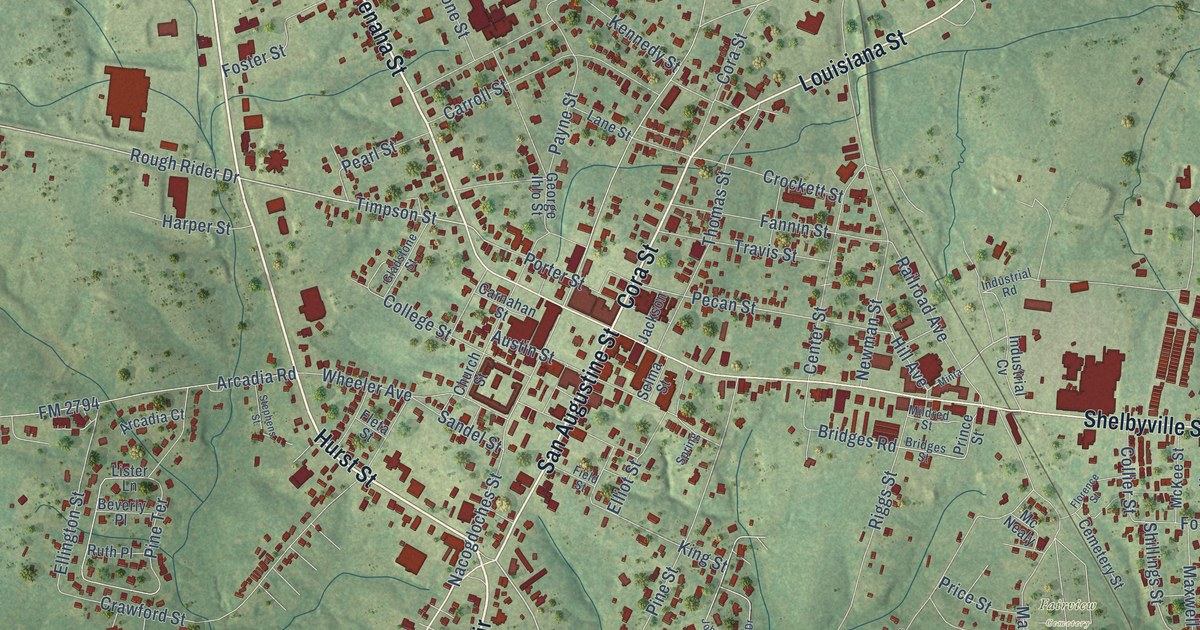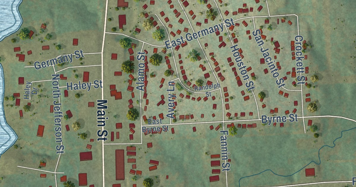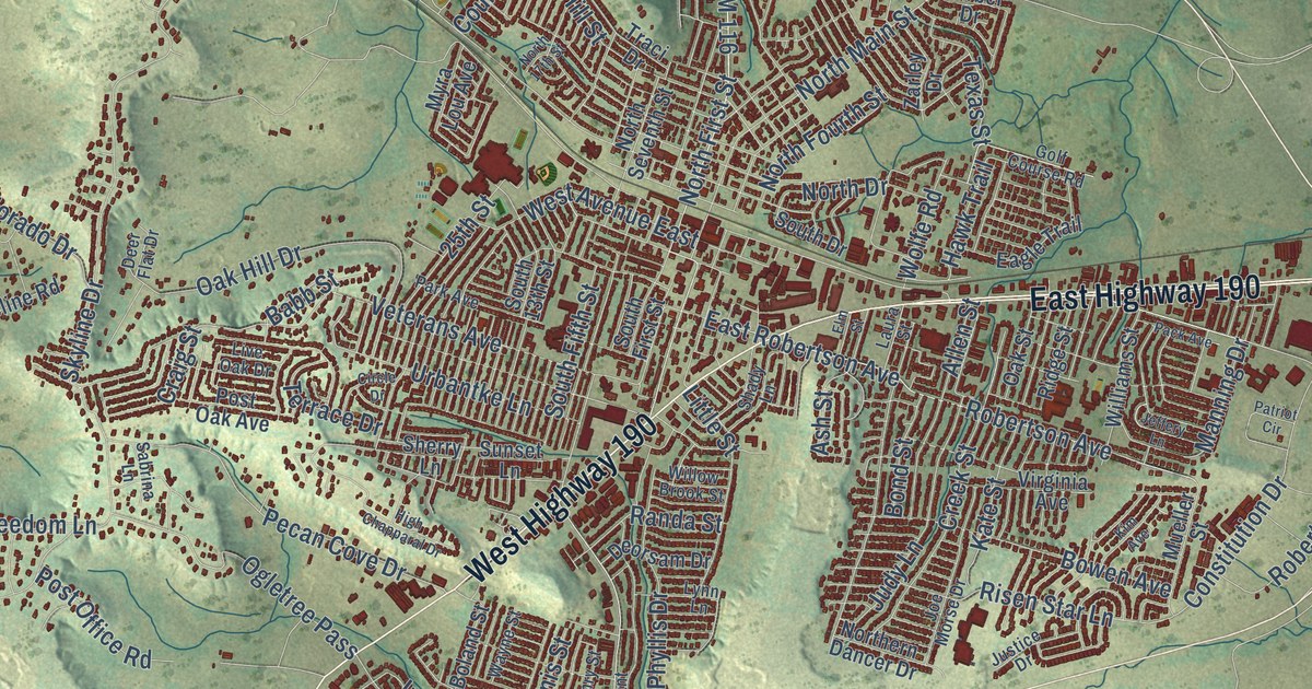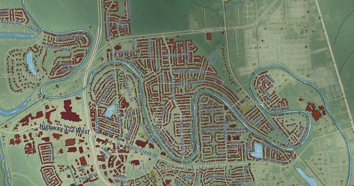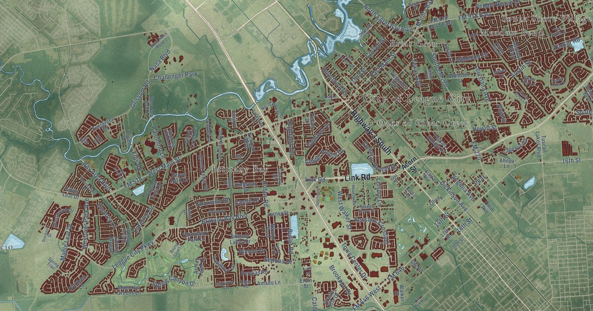
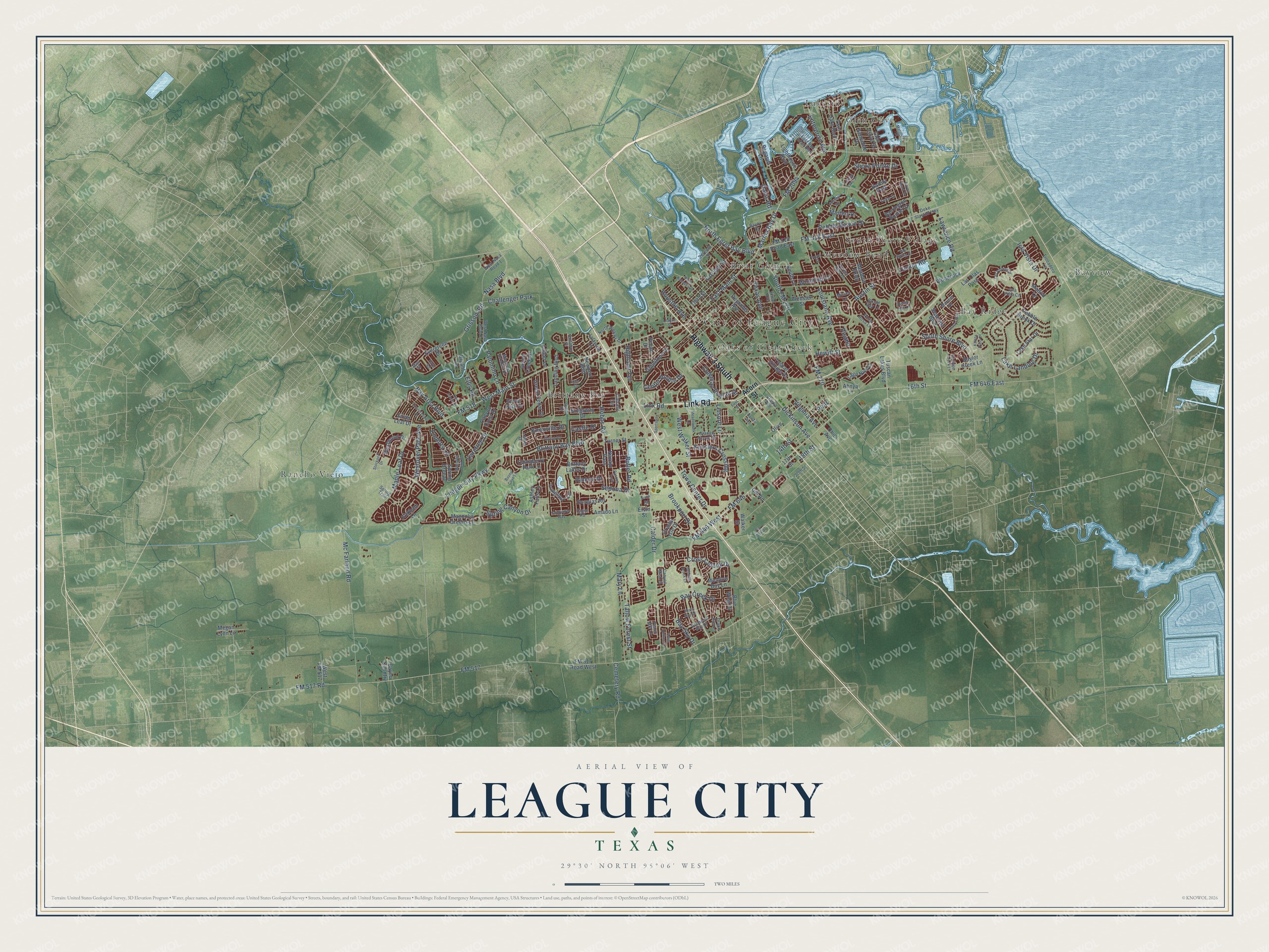
This beautifully detailed map of League City, Texas was created in 2026 using aerial imagery combined with modern topographical, census, street and landmark data. It’s a one-of-a-kind view of League City that combines accurate data with a vintage aesthetic. The map shows every building in its true location, many of the roads carry their names, and the shaded topographic relief shows the shape of the land.
Explore an aerial view of League City, Texas
On the map you’ll find City of League City, Bay Ridge, Bayview, Briar Glen, Brittany Bay, Glen Cove, Lakeside, Meadow Bend, Oaks of Clear Creek, Rancho Viejo, and South Shore Village, along with Highway 3 South, and more. If you look closely you can even find your house accurately drawn in its correct location. Zoom in on the preview to look for yours.
Did you know this piece of League City, Texas history?
The city takes its name from John Charles League, a Galveston businessman. In the early 1890s he bought land from the old Muldoon survey and renamed the town, which had been called Clear Creek. League laid out a townsite and gave land for the first school, later known as the Little Green Schoolhouse. That’s from the Handbook of Texas.
Take a closer look at the League City map
Street and place names on the League City, Texas map
These names are printed on the map of League City, Texas.
Places: City of League City, Bay Ridge, Bayview, Briar Glen, Brittany Bay, Glen Cove, Lakeside, Meadow Bend, Oaks of Clear Creek, Rancho Viejo, South Shore Village, Challenger Park and Harbor Park.
Streets and roads: Highway 3 South, Link Road, FM 518, FM 2094, Marina Bay Drive, FM 518 East, FM 517 Road, East Main Street, West Walker Street, 16th Street, FM 646, South Shore Boulevard.
More street names, A to Z
14th Street, 17th Street, 18th Street, 20th Street, Acorn Street, Admiral Road, Ahnya Lane, Alaska Avenue, Amado Lane, Amber Lane, Arbor Hollow Lane, Ashley Falls Lane, Audubon Street, Austin Street, Ballinger Creek Lane, Barrington Pointe Drive, Bay Area Boulevard, Bay Creek Drive, Baylor Creek Lane, Bayou Bend Drive, Bayou Country, Bayou Cove Lane, Bayou Drive, Bay Sky Drive, Bay Spring Drive, Bending Brook Lane, Blue Wing Drive, Brittany Bay Boulevard, Brittany Lakes Drive, Broad Bay Lane, Brookport Drive, Bryant Lane, Butler Road, Calder Drive, Canary Circle, Canyon Crest Drive, Canyon Mist Lane, Carefree Drive, Castle Drive, Cemetery Road, Center Pointe Drive, Chinaberry Park Lane, Coleman Boylan Drive, Coryell Street, Country Lane, Countryside Drive, Cross Colony Drive, Crystal Isle Drive, Cutter Drive, Davis Road, Deke Slayton Highway, Diamond Bay Drive, Dickinson Avenue, Dixie Drive, Douglas Road, Drake Run Lane, Eager Road, East Red Adair Boulevard, Ellen Avenue, Ellis Road, Enterprise Avenue, Ervin Street, Evergreen Drive, First Street, FM 270, FM 517, FM 517 Road West, FM 518 Road East, FM 646 East, FM 646 West, Forest Hills Drive, Gill Road, Gladstone Drive, Glen Cove Street, Grand Creek Drive, Green Cedar Drive, Grissom Road, Grove Park Drive, Hawaii Avenue, Haye Road, Hewitt Street, Highland Terrace, Hobbs Road, Houston Avenue, Isla Vista Circle, Isla Vista Drive, Kaleta Pass Lane, Kesslers Crossing, Kingsway Drive, Kirkham Lane, Knoxville Drive, Lafayette Lane, Lago Nicola, Lake Landing Drive, Lake Star Drive, Landing Boulevard, Lanier Drive, Las Olas Pass, Las Palmas Drive, Lauren Lake Drive, Lawrence Road, League City Parkway, League Street, Lees Court, Leisure Lane, Lighthouse Boulevard, Longspur Lane, Louisiana Avenue, Madrid Lane, Mae Street, Magnolia Bend Street, Magnolia Estates Drive, Magnolia Greens Lane, Maple Leaf Drive, Mariner Drive, Mariners Drive, Mary Lane, Masters Drive, Mc Farland Road, Meadow Bay Lane, Meadowlark Lane, Meadow Parkway, Megan Lynn Lane, Milano Lane, Misty Bay Drive, Nasa Boulevard, Navajo Pass, Newport Boulevard, North Egret Bay Boulevard, North Kansas Avenue, North Road, North Wesley Drive, Oak Creek Drive, Ocean Way, Ohio Avenue, Olive, Orange Grove Street, Orion Drive, Palomino Lane, Pasqua Trail, Peach Mill Lane, Pear, Pebble Beach Drive, Pebble Brook Drive, Pecan Drive, Pegasus Lane, Pin Oak Drive, Pisana, Poppy Street, Porta Rosa Lane, Reynolds Avenue, Rincon Drive, Rising Tide Lane, Sandvalley Way, Seacrest Boulevard, Sedona Drive, Seminole Drive, Seventh Street, Shore Pointe Drive, Silver Leaf Drive, Smith Lane, South FM 270, Sportsplex, Spring Breeze, Spring Canyon Drive, Spring Trail, Stockport Drive, Tallow Forest Street, Texas Avenue, Third Street, Town Center Drive, Trocadero Lane, Tucker Road, Turner Street, Tuscan Lakes Boulevard, Tuscan Village Drive, Twin Oaks Boulevard, Virginia Avenue, Walker Street, Webster Street, West FM 517, West Main Street, West Nasa Road 1, Westover Park Avenue, Westwood Drive, Winecup Lane, Woodcock.
See the League City, Texas map on a wall
The League City map as an 18 x 24 inch print in a black frame.

This beautifully detailed map of League City makes an attractive addition to your office, library, or den, and it can even be used to teach children the geography and history of the area. It also makes a great gift for anyone with League City roots. When you’re done exploring, click here to get your copy of the League City map.