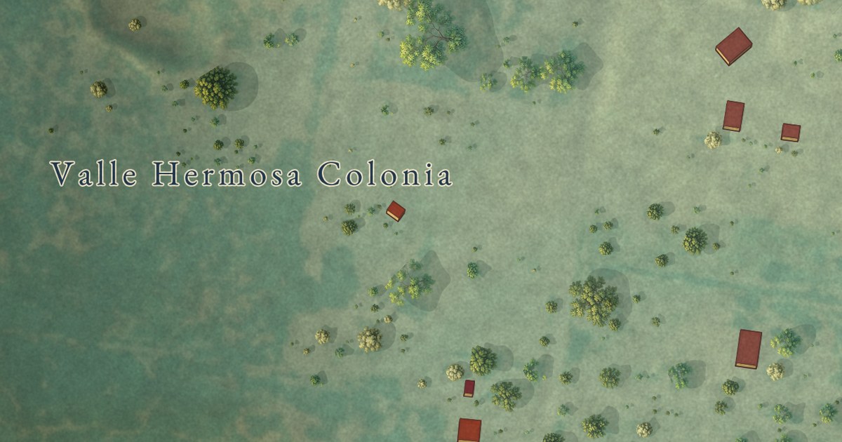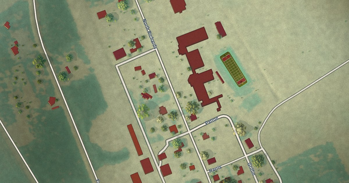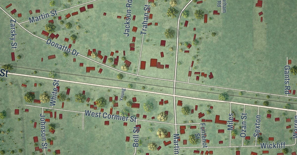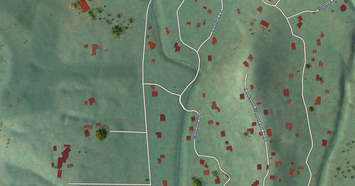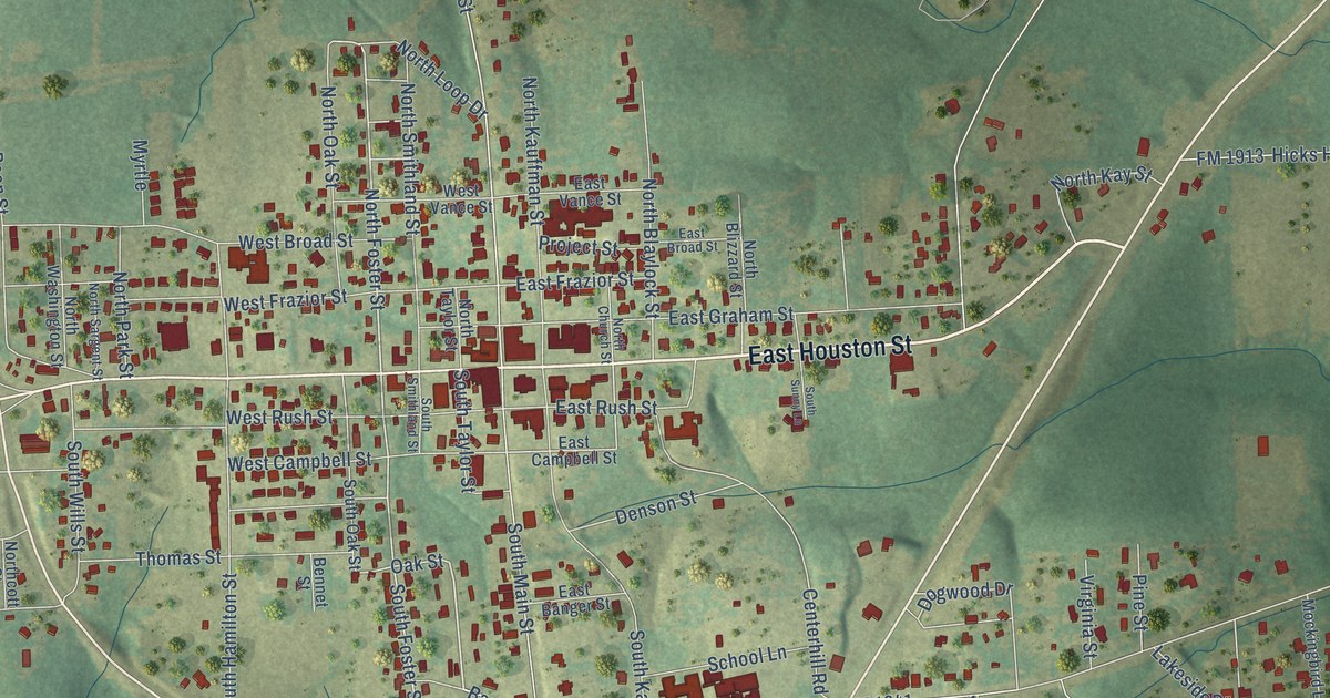
This beautifully detailed map of Linden, Texas was created in 2026 using aerial imagery combined with modern topographical, census, street and landmark data. It’s a one-of-a-kind view of Linden that combines accurate data with a vintage aesthetic. The map shows every building in its true location, many of the roads carry their names, and the shaded topographic relief shows the shape of the land.
Explore an aerial view of Linden, Texas
On the map you’ll find Linden Cemetery, Stoner, and Barbie, along with East Houston Street, West Houston Street, South Main Street, Nelson Boulevard, Woodward Drive, Hampton Street, North Foster Street, South Taylor Street, North Main Street, and more. If you look closely you can even find your house accurately drawn in its correct location. Zoom in on the preview to look for yours.
Did you know this piece of Linden, Texas history?
Linden began in 1852 as the new seat of Cass County. A Major Wood laid out the townsite and named it for his old home in Tennessee. The weekly Cass County Sun first printed in 1875 on an 1853 press. During 1864 that press had been sunk in the Red River to keep it from Union soldiers. That’s from the Handbook of Texas.
Take a closer look at the Linden map
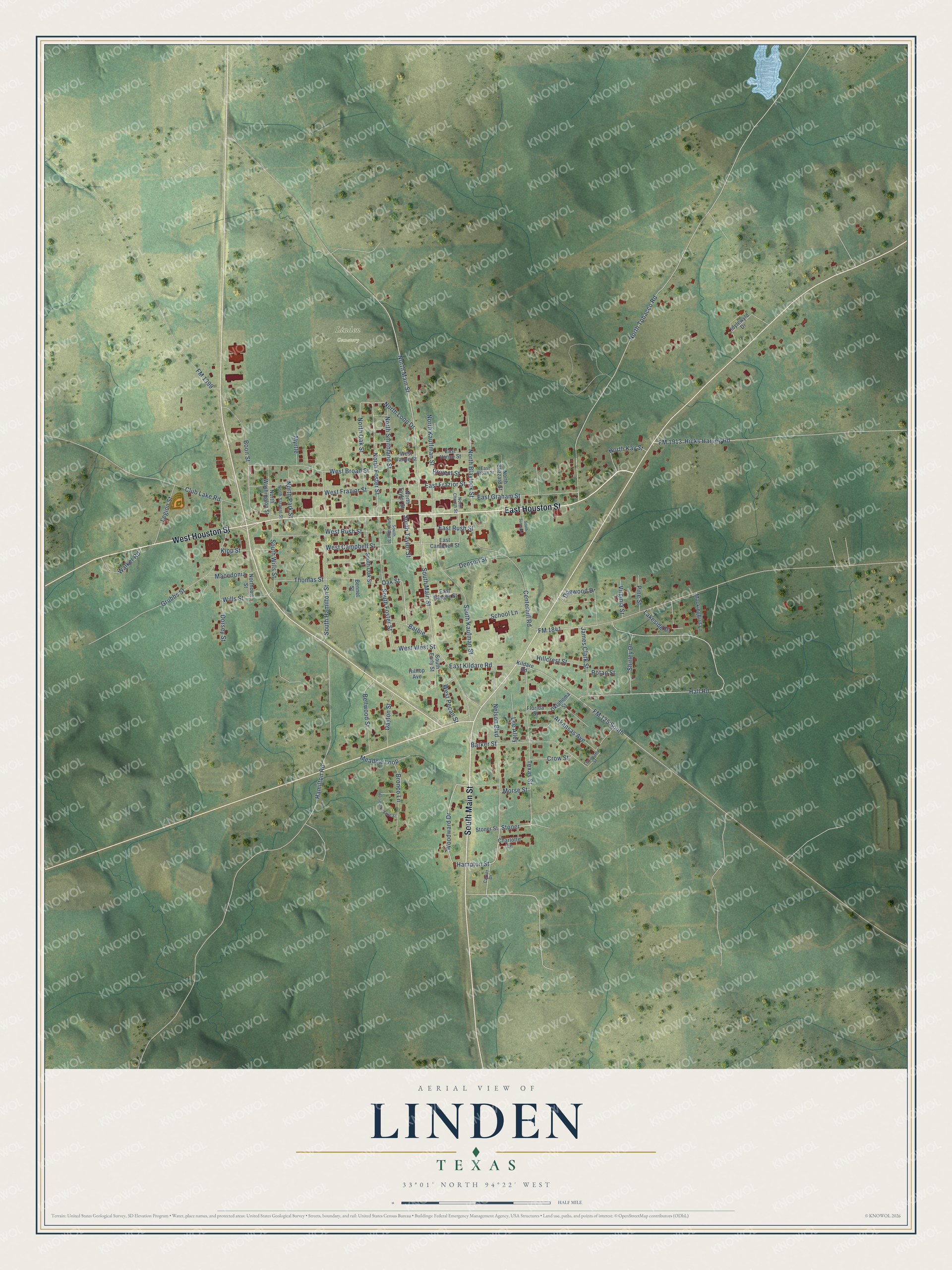
Street and place names on the Linden, Texas map
These names are printed on the map of Linden, Texas.
Places: Linden Cemetery.
Streets and roads: East Houston Street, West Houston Street, South Main Street, Nelson Boulevard, Woodward Drive, Hampton Street, Stoner, Barbie, North Foster Street, South Taylor Street, North Main Street, South Foster Street.
More street names, A to Z
Arkansas Avenue, Barker Street, Bellwood Street, Bennet Street, Boon Street, Bronco Lane, Carver Drive, Centerhill Road, Charlotte Lane, Club Lake Road, Crow Street, Dayton Street, Denson Street, Dogwood Drive, Dorsey Street, East Banger Street, East Broad Street, East Campbell Street, East Frazior Street, East Graham Street, East Kildare Road, East Rush Street, East Vance Street, Florida Street, FM 125 South, FM 1399, FM 1841, FM 1913, Grubbs Street, Hall Road, Hamilton Road, Hicks Harvey Road, Hillcrest Street, Hilltop Avenue, Horseshoe Bend Street, Idylewyld Drive, James Clark Street, Kildare Road, Kipp Street, Lakeside Drive, Lee Alley, Legion Street, Louisiana Street, Macedonia, Meadow Loop, Mockingbird Lane, Morse Street, Myrtle, North Blaylock Street, North Blizzard Street, North Church Street, Northcott Street, North Kauffman Street, North Kay Street, North Loop Drive, North Oak Street, North Park Street, North Sargent Street, North Smithland Street, North Taylor Street, North Tobacco Road, North Washington Street, Oak Street, Oklahoma Street, Pine Street, Project Street, Rotan Street, School Lane, Shirley Drive, South Early Street, South Hamilton Street, South Kaufman Street, South Oak Street, South Smithland Street, South Sunny Lane, South Wills Street, Stoner Street, Texas Street, Thomas Street, Virginia Street, Walker Road, West Broad Street, West Campbell Street, West Frazior Street, West Pecan Street, West Rush Street, West Vance Street, West West Street, Wills Street.
See the Linden, Texas map on a wall
The Linden map as an 18 x 24 inch print in a black frame.

This beautifully detailed map of Linden makes an attractive addition to your office, library, or den, and it can even be used to teach children the geography and history of the area. It also makes a great gift for someone who left Linden and still calls it home. When you’re done exploring, click here to get your copy of the Linden map.