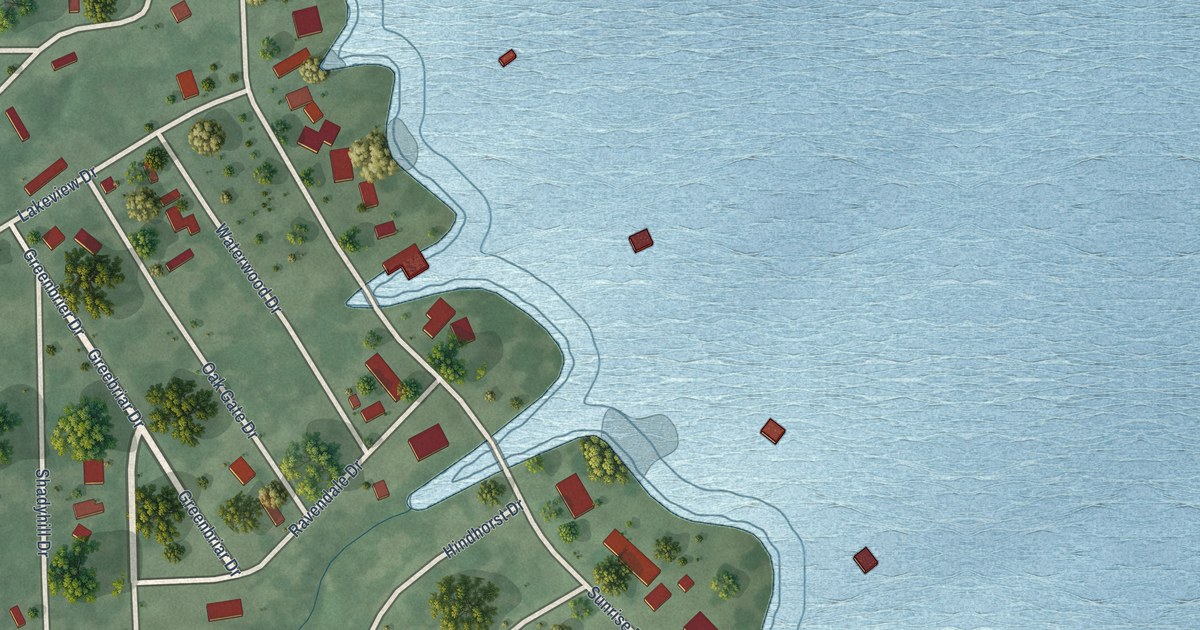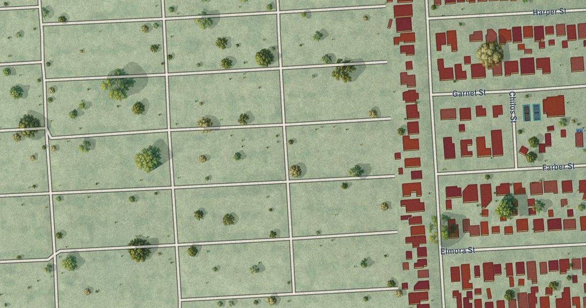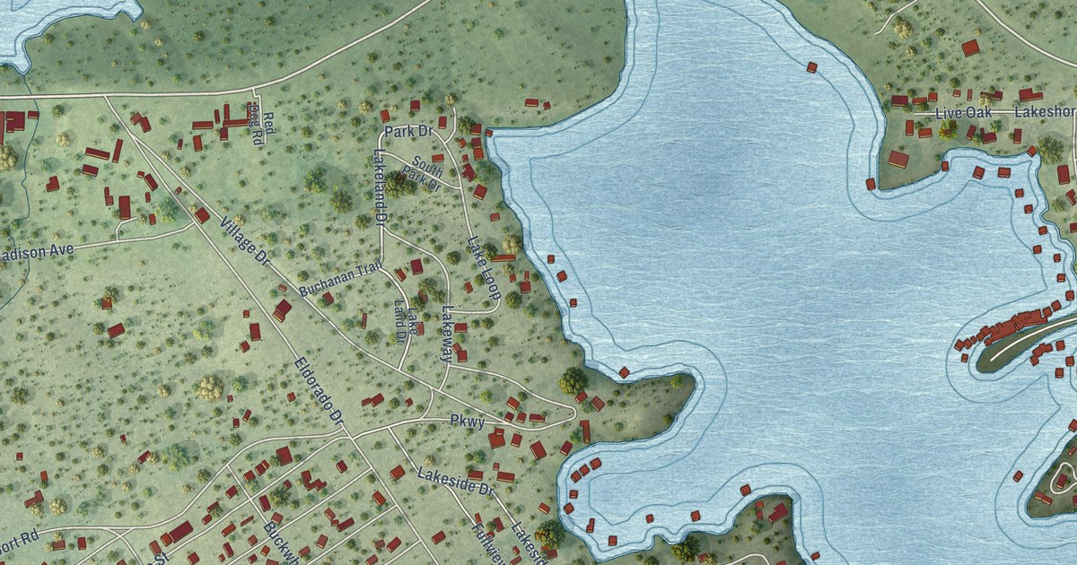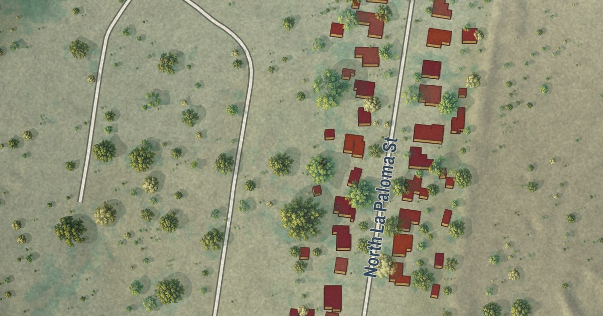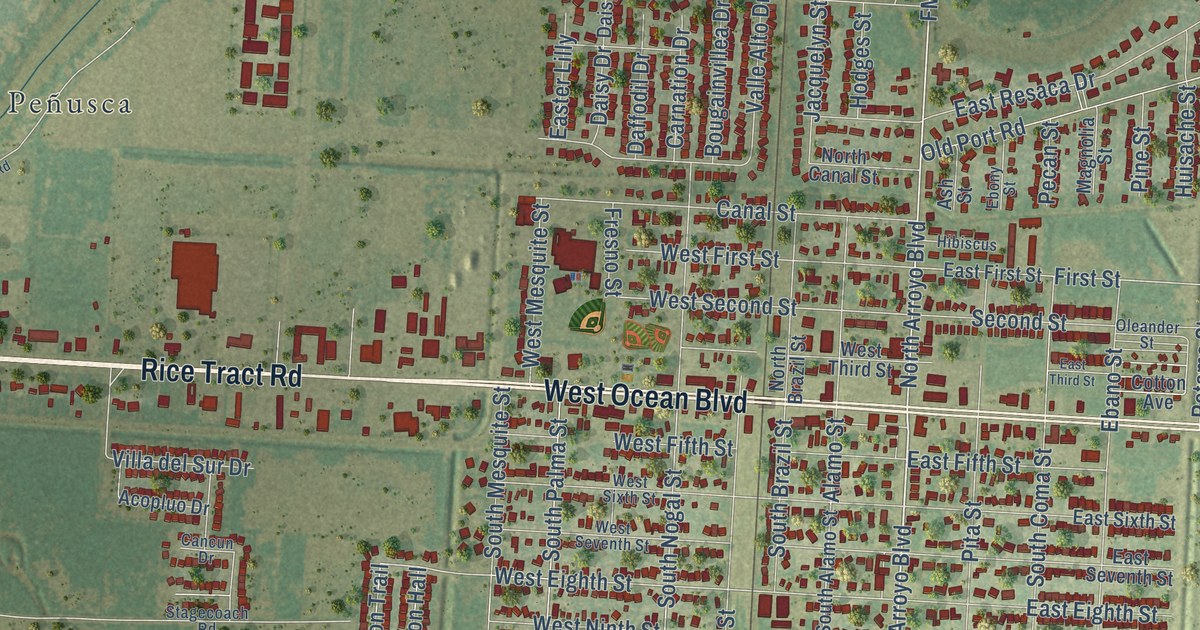
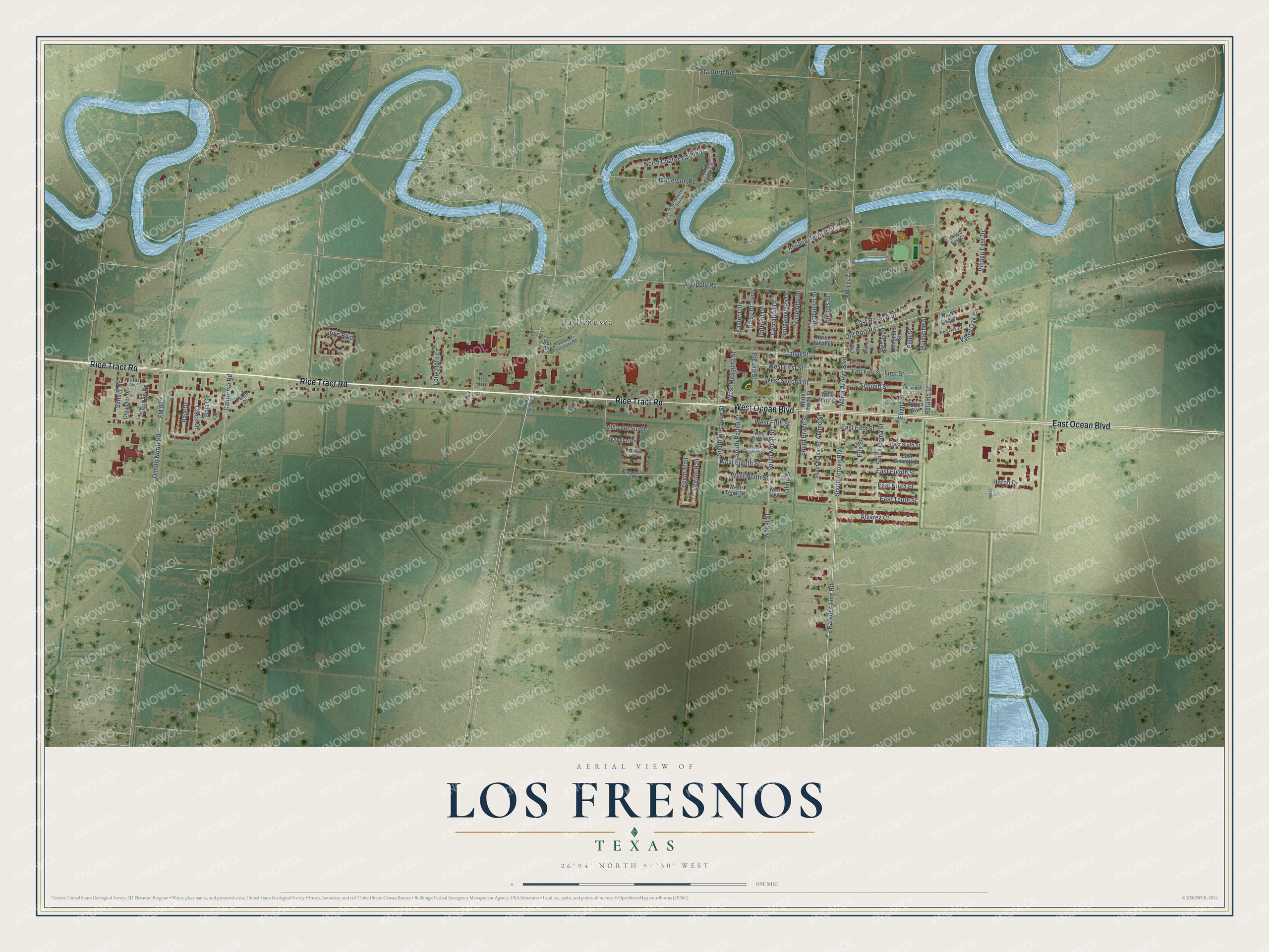
This beautifully detailed map of Los Fresnos, Texas was created in 2026 using aerial imagery combined with modern topographical, census, street and landmark data. It’s a one-of-a-kind view of Los Fresnos that combines accurate data with a vintage aesthetic. The map shows every building in its true location, many of the roads carry their names, and the shaded topographic relief shows the shape of the land.
Explore an aerial view of Los Fresnos, Texas
On the map you’ll find La Peñusca, along with West Ocean Boulevard, Rice Tract Road, East Ocean Boulevard, Paredes Line Road, South Arroyo Boulevard, Alamo Street, West Ninth Street, South Alamo Street, North Arroyo Boulevard, Legion Trail, West Eighth Street, and more. If you look closely you can even find your house accurately drawn in its correct location. Zoom in on the preview to look for yours.
Did you know this piece of Los Fresnos, Texas history?
From the Handbook of Texas: "The first scheduled train to Los Fresnos ran in 1927 on the San Antonio and Aransas Pass Railway."
Take a closer look at the Los Fresnos map
Street and place names on the Los Fresnos, Texas map
These names are printed on the map of Los Fresnos, Texas.
Places: La Peñusca.
Streets and roads: West Ocean Boulevard, Rice Tract Road, East Ocean Boulevard, Paredes Line Road, South Arroyo Boulevard, Alamo Street, North Arroyo Boulevard, West Ninth Street, First Street, South Nogal Street, West Second Street, Legion Trail.
More street names, A to Z
Acopluo Drive, Alvarez Court, Ash Street, Baja Circle, Baja Drive, Bougainvillea Drive, Cabo, California Road, Canal Street, Cancun Drive, Carnation Drive, Cisco Drive, Cotton Avenue, Daffodil Drive, Daisy, Daisy Drive, East Eighth Street, Easter Lilly, East Fifth Street, East First Street, East Ninth Street, East Resaca Drive, East Seventh Street, East Sixth Street, East Tenth Street, East Third Street, Ebano Street, Ebony Street, FM 803, FM 1847, Fresno Street, Harvey Escalante Road, Henderson Road, Heron Drive, Hibiscus, Hodges Street, Holly Lane, Huisache Street, Jacquelyn Street, Legion Hall, Long Horn Lane, Magnolia Street, Nogal Street, North Brazil Street, North Canal Street, North Cuates Camino, North Cuates Drive, Old Alice Road, Old Port Road, Oleander Drive, Oleander Street, Olmito North Road, Olmo Street, Orive Boulevard, Pasto Drive, Pecan Street, Pine Street, Pita Street, Put Road, Red Oak Drive, Resaca Retreat Drive, Retama Street, Rodeo Drive, Second Street, South Alamo Street, South Brazil Street, South Coma Street, South Cuates Camino, South Mesquite Street, South Palma Street, Stagecoach Road, Stanford Road, Sunrise Drive, Sunset Drive, Texas Avenue, Valle Alto Drive, Valley Oak Circle, Villa del Sur Drive, Village East Court, Village East Drive, West Eighth Street, West Fifth Street, West First Street, West Mesquite Street, West Seventh Street, West Sixth Street, West Tenth, West Tenth Street, West Third Street, Whipple Road, White Oak Drive.
See the Los Fresnos, Texas map on a wall
The Los Fresnos map as an 18 x 24 inch print in a black frame.

This beautifully detailed map of Los Fresnos makes an attractive addition to your office, library, or den, and it can even be used to teach children the geography and history of the area. It also makes a great gift for anyone who grew up in Los Fresnos or moved away. When you’re done exploring, click here to get your copy of the Los Fresnos map.