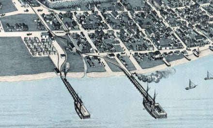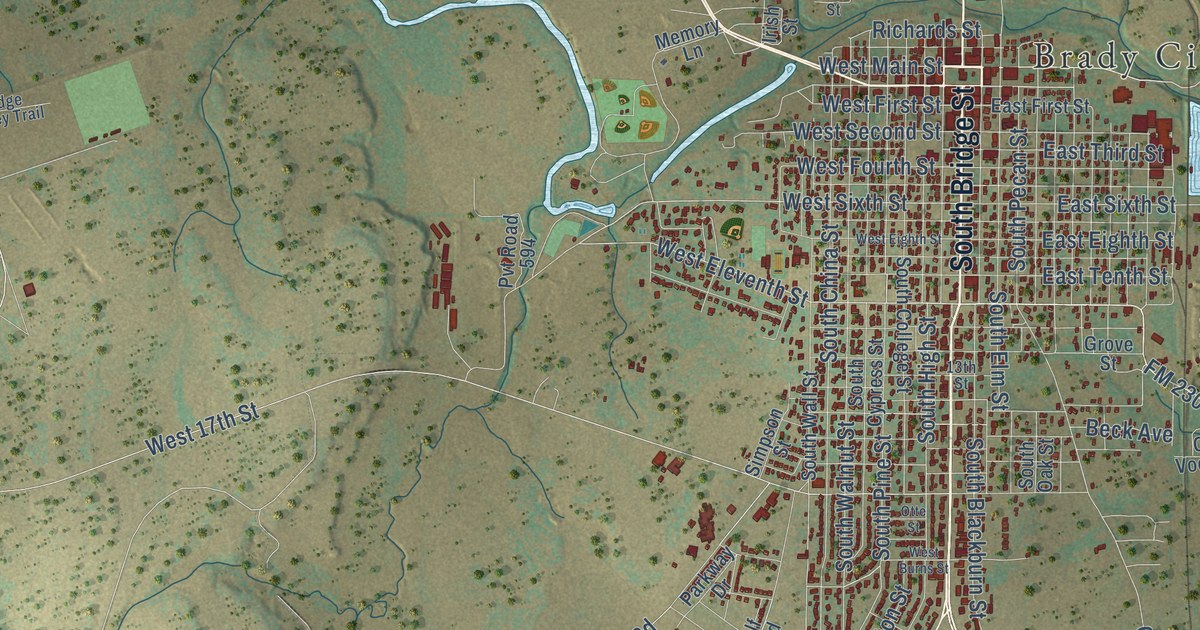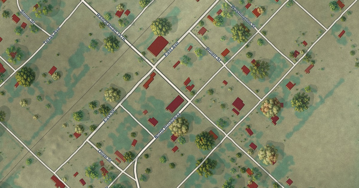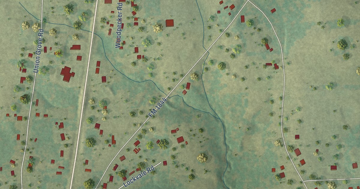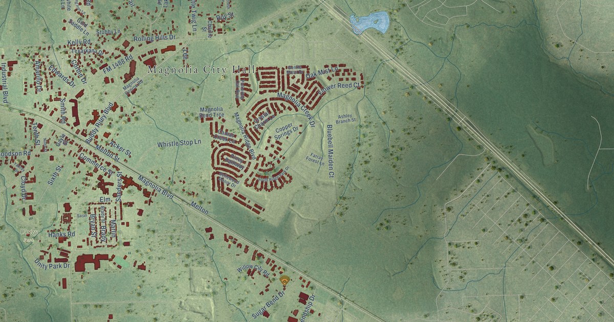
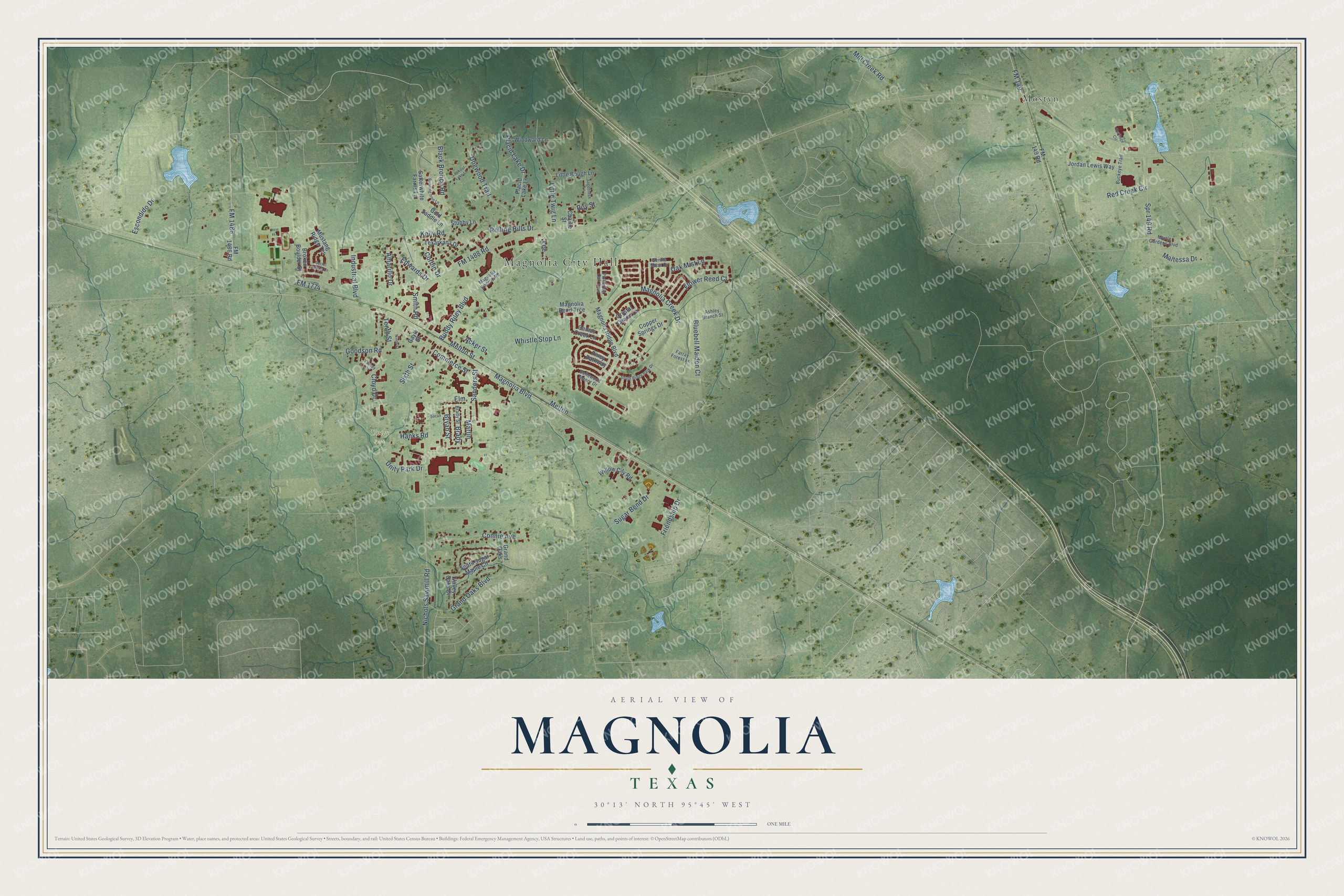
This beautifully detailed map of Magnolia, Texas was created in 2026 using aerial imagery combined with modern topographical, census, street and landmark data. It’s a one-of-a-kind view of Magnolia that combines accurate data with a vintage aesthetic. The map shows every building in its true location, many of the roads carry their names, and the shaded topographic relief shows the shape of the land.
Explore an aerial view of Magnolia, Texas
On the map you’ll find Magnolia City Hall, Unity Park, Mostyn, and Marlin, along with Magnolia Boulevard, Flower Reed Court, FM 149, Buddy Riley Boulevard, FM 1488 Road, FM 1774, Nichols Sawmill Road, Melton Street, and more. If you look closely you can even find your house accurately drawn in its correct location. Zoom in on the preview to look for yours.
Did you know this piece of Magnolia, Texas history?
From the Handbook of Texas: "By the 1940s the Magnolia oilfield had been established a mile east of town, and the community's population had increased to 400."
Take a closer look at the Magnolia map
Street and place names on the Magnolia, Texas map
These names are printed on the map of Magnolia, Texas.
Places: Magnolia City Hall, Unity Park and Mostyn.
Streets and roads: Magnolia Boulevard, Flower Reed Court, FM 149, Buddy Riley Boulevard, Marlin, FM 1488 Road, FM 1774, Nichols Sawmill Road, Melton Street, Melton, Magnolia Creek Drive, Kelly Road.
More street names, A to Z
Acker Street, Amarillo Drive, Ashley Branch Street, Bellewood Manor Drive, Black Bronco Road, Bluebell Maiden Court, Brady, Brady Street, Broken Boulder Street, Bryan Street, Buckeye Trail, Camas Creek Lane, Charlie Street, Cloyd Drive, Commerce Street, Connie Avenue, Copper Springs Drive, Corbin Drive, Crystal Charm Lane, Dogwood Trail, Edwards Drive, Elm, Escondido Drive, Farray Forest Lane, FM 149 Road, FM 1486, FM 1486 Road, Friendship Drive, Gayle Street, Gentle Moss Drive, Gold Saddle Lane, Goodson Road, Grand Oaks, Grand Oaks Boulevard, Hanks Road, Heritage Circle, Industrial Boulevard, Jordan Lewis Way, Lee, Little Bough Lane, Little Twig Lane, Lookout Lake Lane, Magnolia Bend Trce, Magnolia Conroe Road, Magnolia Ridge Boulevard, Maltessa Drive, Mill Creek Road, Mustang Ridge Terrace, Myrtle Gardens Boulevard, Ninth Street, Oak Mist Lane, Pickering Oak Row, Piney Pathway, Placid Lake Drive, Placid Lake Lane, Red Creek Circle, Rolling Hills Drive, Roy Street, Running Iron Lane, Sagebrush Lane, Sanders Street, Sarah, Satterwhite Farms Lane, Sixth Street, Smith Road, Sorrel Spring Lane, South Ridge Park Drive, South Sugar Maple Circle, Spr 149 Road, Stubby Lane, Sugar Bend Drive, Tenth Street, Texarkana Drive, Unity Park Drive, Valley Oaks Drive, Whistle Stop Lane, Willow City Road, Windward Lane, Yancey Drive.
See the Magnolia, Texas map on a wall
The Magnolia map as an 18 x 24 inch print in a black frame.

This beautifully detailed map of Magnolia makes an attractive addition to your office, library, or den, and it can even be used to teach children the geography and history of the area. It also makes a great gift for anyone who grew up in Magnolia or moved away. When you’re done exploring, click here to get your copy of the Magnolia map.