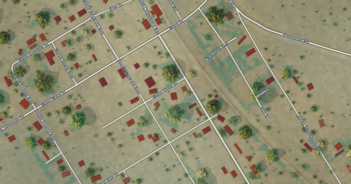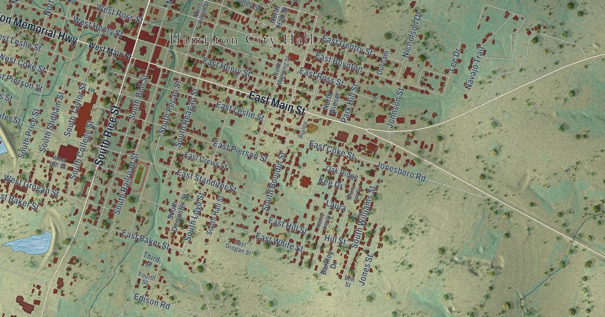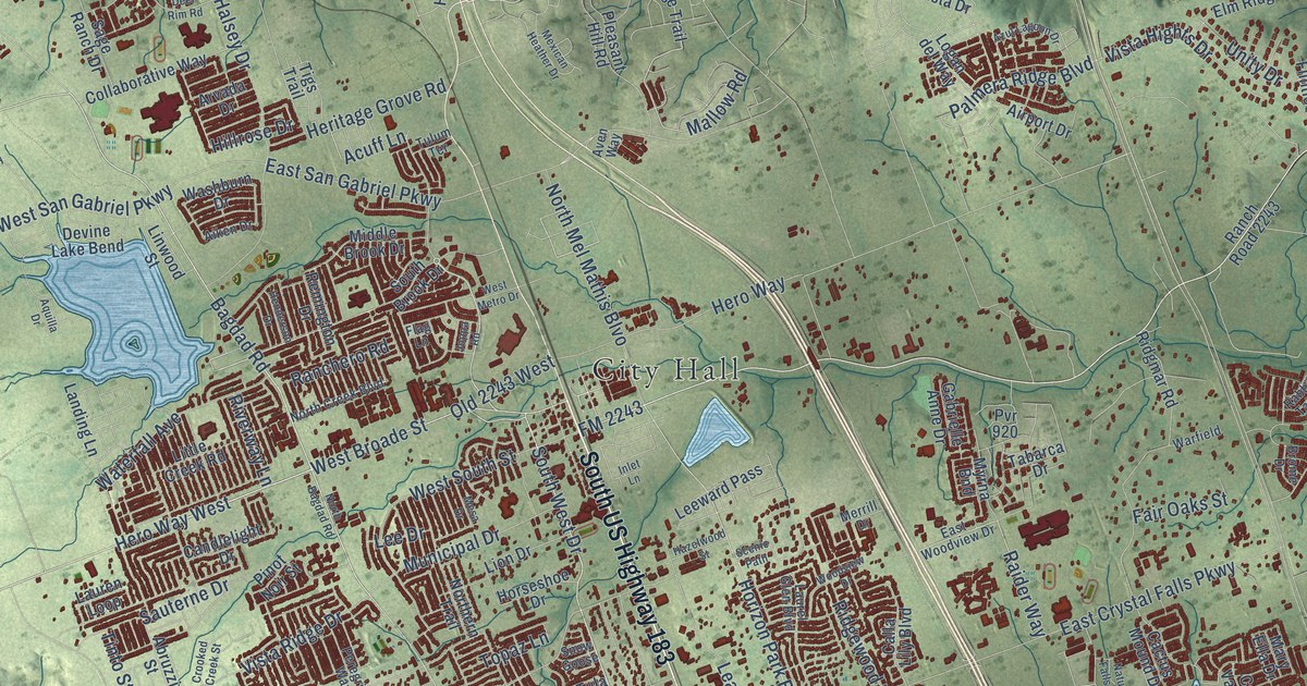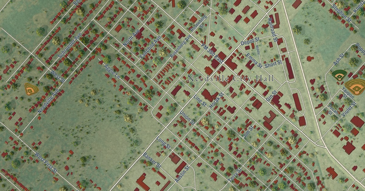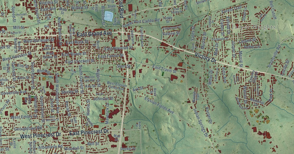
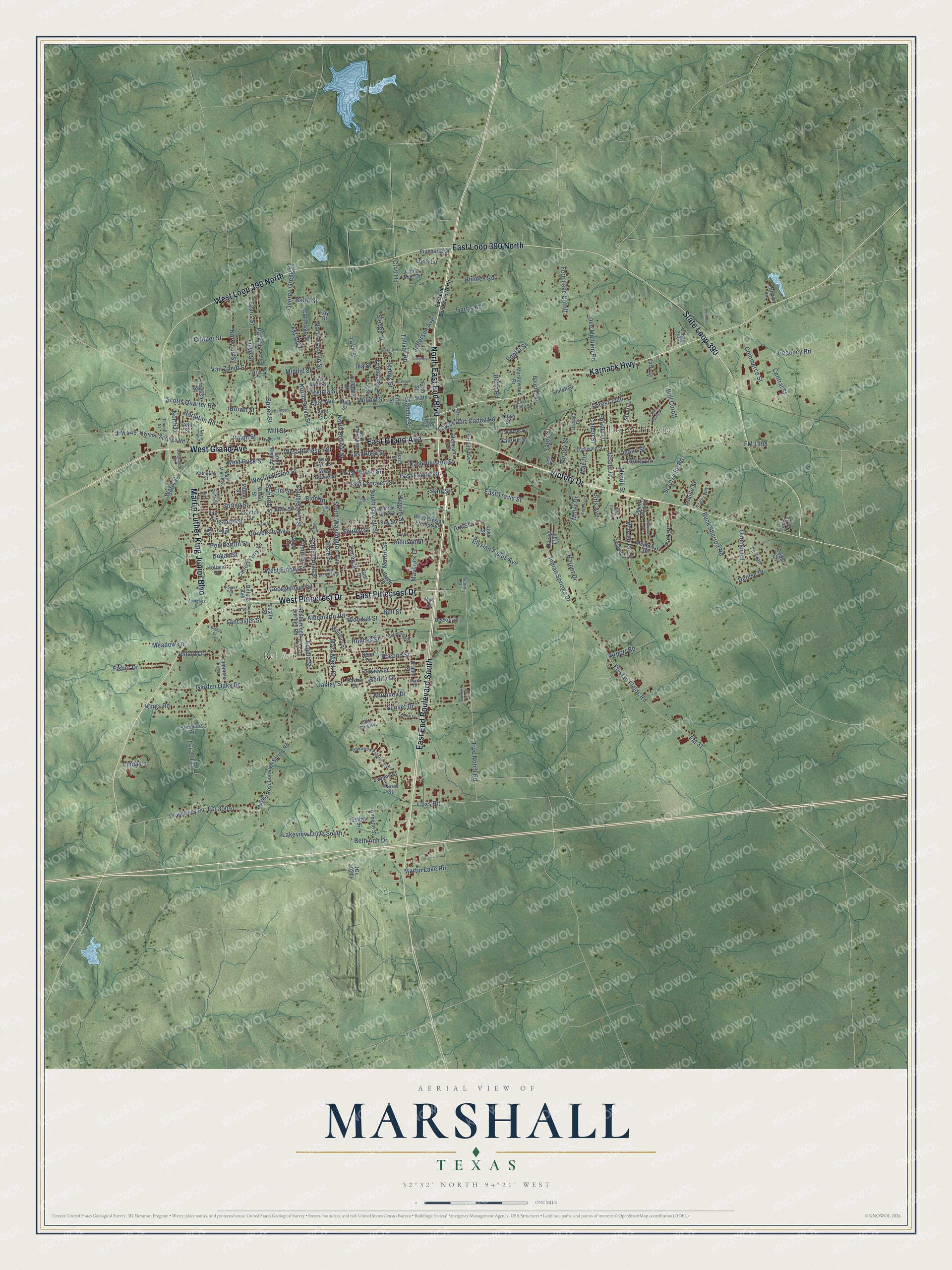
This beautifully detailed map of Marshall, Texas was created in 2026 using aerial imagery combined with modern topographical, census, street and landmark data. It’s a one-of-a-kind view of Marshall that combines accurate data with a vintage aesthetic. The map shows every building in its true location, many of the roads carry their names, and the shaded topographic relief shows the shape of the land.
Explore an aerial view of Marshall, Texas
On the map you’ll find Bel Air, Jasper Heights, and West Loop 390 North, along with East End Boulevard South, East Pinecrest Drive, West Pinecrest Drive, North East End Boulevard, West Grand Avenue, East Grand Avenue, Victory Drive, Martin Luther King Junior Boulevard, State Loop 390, and more. If you look closely you can even find your house accurately drawn in its correct location. Zoom in on the preview to look for yours.
Did you know this piece of Marshall, Texas history?
From the Handbook of Texas: "Marshall was the first town in Texas to have a telegraph; by 1854 the local paper had a telegraph link to New Orleans, which gave it quick access to national news."
Take a closer look at the Marshall map
Street and place names on the Marshall, Texas map
These names are printed on the map of Marshall, Texas.
Places: Bel Air and Jasper Heights.
Streets and roads: East End Boulevard South, East Pinecrest Drive, West Pinecrest Drive, North East End Boulevard, West Grand Avenue, East Grand Avenue, Victory Drive, West Loop 390 North, Martin Luther King Junior Boulevard, State Loop 390, East Loop 390 North, Karnack Highway.
More street names, A to Z
Acadia Street, Airport Road, Albemarle Road, Alice Hope Road, Alpine Drive, Alvin Street, Annette Street, Ark Street, Aubry Street, Azalea Way, Baffo Road, Bausley Road, Bel-Air Drive, Bell Cutoff, Bell Street, Benita Drive, Bergstrom Place, Beth Ann Drive, Billups Avenue, Blanche Street, Block Street, Bomar Street, Brenda Drive, Brimm Street, Brown Street, Buck Sherrod Road, Buffo Street, Caddo Street, Calloway Street, Carters Ferry Road, Carthage Street, Cedar Circle, Cedarcrest Drive, Cedar Loop, Central Street, Circle Drive, Cobb Street, Commerce Street, Cooper Street, Country Club Drive, Coxs Road, Dean Drive, Decker Drive, Dee Mullikin Road, Denise Drive, Dogan Street, Duncan Road, Durel Street, East Avenue, East Bowie Street, East Crockett Street, East End Boulevard North, East Fannin Street, East Houston Street, Eastmoor Drive, East Rusk Street, East Teddy Street, East Travis Street, Elm Street, Elsie Street, Elysian Fields Avenue, Elysian Fields Road, Enfield Drive, Enola Mae Drive, Esther Street, Evans Street, Fairfield Avenue, Fair Street, Fairview Street, Fairway Lane, Fay Street, Fern Lake Cutoff, Ferrell Street, Field Street, Fifth Street, First Street, Fir Trail, Fisher Drive, Fitzgerald Street, Five Notch Road, FM 31, FM 449, FM 1997, FM 1998, Forest Trail, Fry Street, Furrh Street, Gail Drive, Garden Oaks Drive, George Gregg Street, Georgetown Road, Grace Street, Grafton Street, Grangeway Road, Hanks Street, Hargrove Street, Harleton Road, Harmon Road, Harper Drive, Harris Road, Herndon Street, Higgins Street, Holland Street, Holmes Road, Hughes Street, Hunt Street, Hynson Springs Road, Ida Street, Indian Springs Drive, Ivy Street, Jasper Drive, Jeff Davis Street, Jefferson Avenue, Johnson Street, Karen Street, Katherine Street, Key Street, Kingfish Street, Kings Road, Lake Street, Lakeview Drive South, Lancaster Street, Larry Drive, Leland Street, Leslie Street, Linda Lane, Linwood Drive, Lona Lane, Louisiana Street, Lower Port Caddo Road, Lucille Street, Mae Drive, Main Street, Mall Drive, Mark Drive, Martin Lake Road, Martin Street, Mary Mack Drive, Maverick Drive, Meadow Lane, Memorial Drive, Merrill Street, Middle Roseborough Spring Road, Middle Street, Mildred Lee Avenue, Miller Drive, Mill Street, Milton Street, Murphey Drive, Murray Street, Myrtlewood Drive, Navajo Trail, North Alamo Boulevard, North Allen Boulevard, North Bishop Street, North Bolivar Street, North Drive, North Franklin Street, North Grove Street, Norwood Street, Oakley Drive, Oakley Street, Oakwood Estates Boulevard, Olive Street, Oris Street, Palato Drive, Park Drive, Park Place, Park Street, Pecan Street, Pemberton Street, Pine Burr Circle, Pinehurst Drive, Pinewood Drive, Pitts Avenue, Poag Street, Pocono Street, Poplar Street, Powers Street, Pvt Road 2134, Ralph Street, Ray, Rebel Lane, Regency Road, Riptoe Street, Rogers Street, Rosborough Springs Road, Ross Street, Sanford Street, Scotts Quarter Road, Scottsville Road, Sedberry Street, Shiloh Street, Shirley Street, Sixth Street, Sledge Street, South Callum Street, South Carter Street, South Garrett Street, South Grove Street, Southside Drive, South Street, South Washington Avenue, Southwest Road, Speed Street, Spring Street, Starr Street, State Street, Stuart Lane, Summers Road, Summitt Street, Sunset Drive, Sunset Loop, Taft Street, Taylor Street, Teddy Street, Texas Street, Tolivar Road, Trammels Trce, University Avenue, Valerie Street, Vale Street, Van Zandt Street, Veterans Avenue, Virginia Street, Ward Street, Warren Drive, Waubun Street, West Austin Street, West Bowie Street, West Burleson Street, West Elysian Fields Avenue, West Emory Street, West Houston Street, West Meredith Street, West Rusk Street, West Wright Street, Wildwood Terrace, Wiley Avenue, Willow Street, Wilson Street, Woodall Street, Wood Street, Yates Street, Yvonne Street.
See the Marshall, Texas map on a wall
The Marshall map as an 18 x 24 inch print in a black frame.

This beautifully detailed map of Marshall makes an attractive addition to your office, library, or den, and it can even be used to teach children the geography and history of the area. It also makes a great gift for someone who left Marshall and still calls it home. When you’re done exploring, click here to get your copy of the Marshall map.