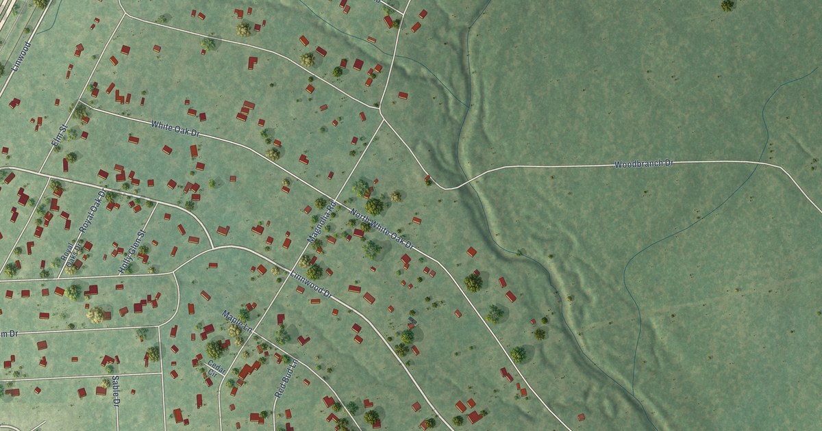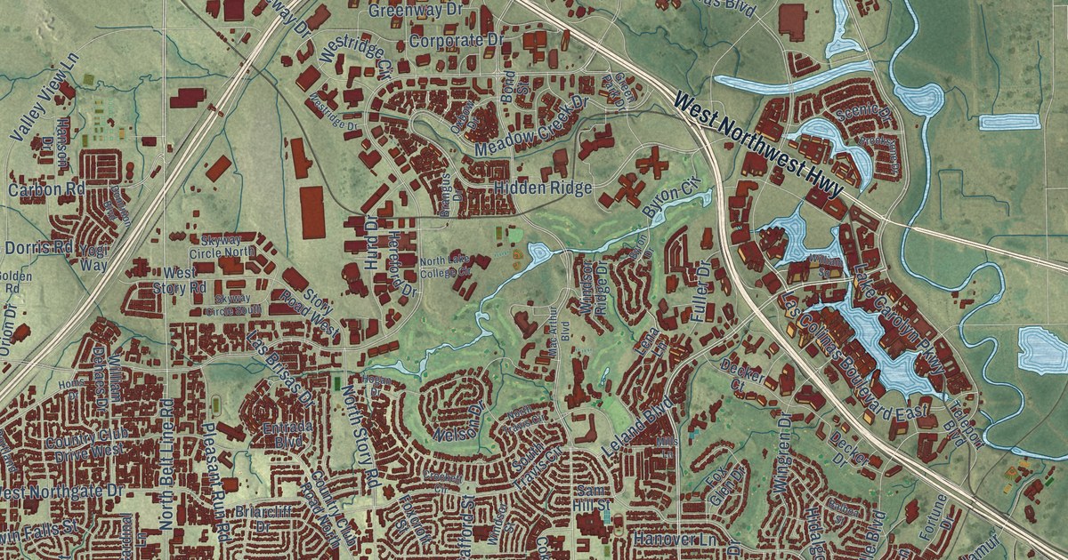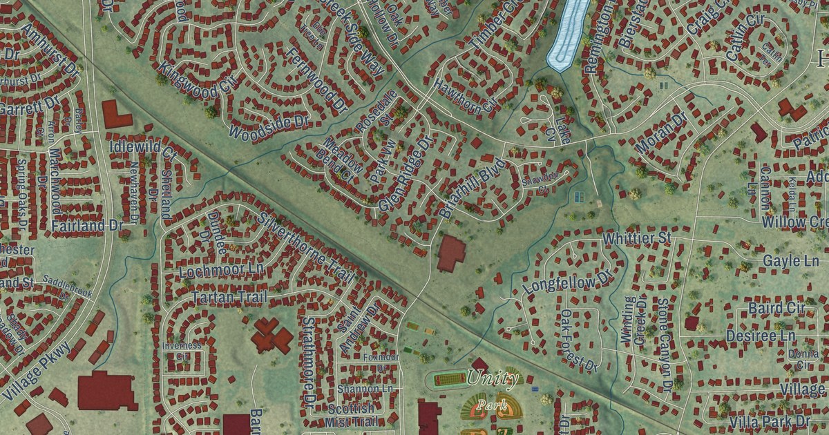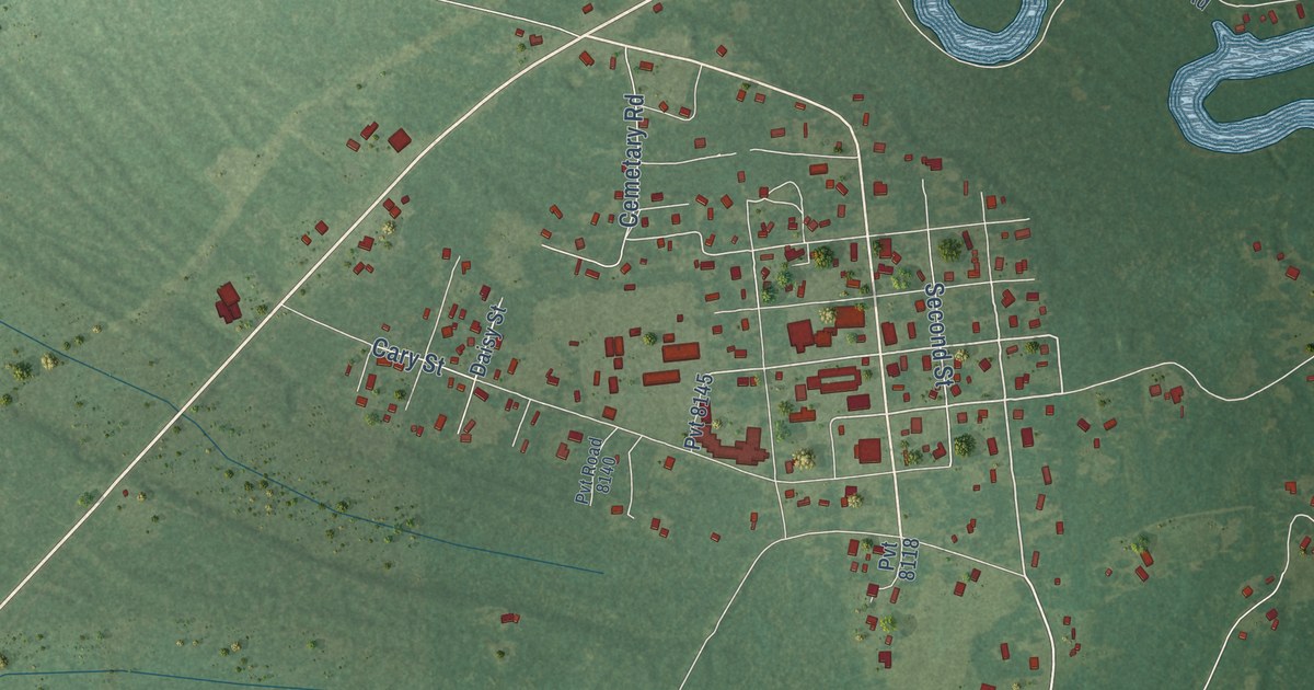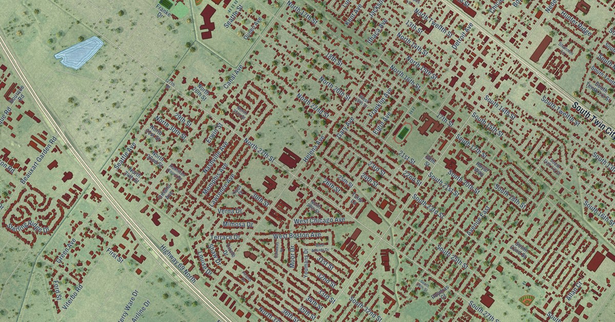
This beautifully detailed map of Nederland, Texas was created in 2026 using aerial imagery combined with modern topographical, census, street and landmark data. It’s a one-of-a-kind view of Nederland that combines accurate data with a vintage aesthetic. The map shows every building in its true location, many of the roads carry their names, and the shaded topographic relief shows the shape of the land.
Explore an aerial view of Nederland, Texas
On the map you’ll find South Twin City Highway, North Twin City Highway, Nederland Avenue, Highway 69 North, North 27th Street, South 27th Street, North 14th Street, 14th Street, South Fifth 1/2 Street, Avenue North, North 15th Street, 30th Street, and more. If you look closely you can even find your house accurately drawn in its correct location. Zoom in on the preview to look for yours.
Did you know this piece of Nederland, Texas history?
From the Handbook of Texas: "During the same decade the Humphrey Oil Company and Pure Oil Company (subsequently Union Oil) built a refinery at Smith's Bluff to the east, drawing large numbers of former Louisiana residents to Nederland."
Take a closer look at the Nederland map
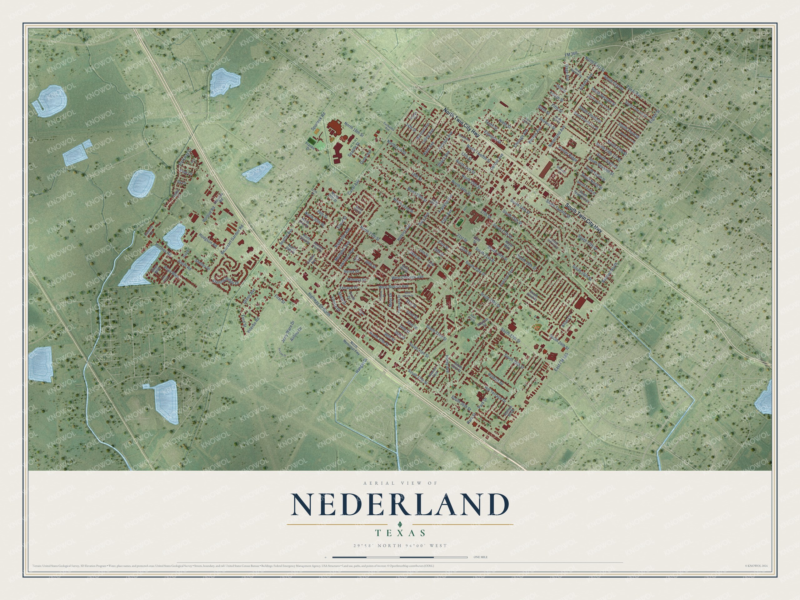
Street names on the Nederland, Texas map
These names are printed on the map of Nederland, Texas.
Streets and roads: South Twin City Highway, North Twin City Highway, Nederland Avenue, Highway 69 North, North 27th Street, South 27th Street, North 14th Street, 14th Street, Avenue North, North 15th Street, 30th Street, Beauxart Garden Road.
More street names, A to Z
13th Street, 17th Street, 18th Street, 20th Street, 21st Street, 22nd Street, 23rd Street, 24th Street, 25th Street, 26th Street, 27th Street, 29th Street, 31st Street, 32nd Street, 33rd Street, 34th Street, 35th Street, 36th Street, Airline Drive, Air Line Drive, Allan Court, Atlanta Avenue, Avenue East, Borque Road, Boston Avenue, Bourque Road, Callaway Drive, Canal Avenue, Cedar Lane, Chicago Avenue, Circle Drive, Country Lane, Detroit Avenue, Divya Boulevard, Doornbos Lane, East FM 365, Eighth Street, Eleventh Street, Elgin Avenue, Erwin Street, Fairbanks Avenue, Fifth Street, First Street, FM 366, Ford Street, Fourth Street, Franke Drive, Franklin Avenue, Gage Avenue, Gary Avenue, Gayle, Green Avenue, Hamilton Court Drive, Hangar Drive, Hardy Avenue, Helena Avenue, Hilldale Drive, Hill Terrace Drive, Hodgson Road, Holmes Road, Hunter Ridge, Ithaca Avenue, Ivy Lane, Jackson Avenue, Jerry Ware Drive, Kent Avenue, Lake Placid, Lawrence Avenue, Louise Drive, Luling Avenue, Marshall Avenue, Memphis Avenue, Mimosa Drive, Moor Drive, Nashville Avenue, Ninth Street, North 16th Street, North 17th Street, North 18th Street, North 20th Street, North 22nd Street, North 25th Street, North 26th Street, North 28th Street, North 30th Street, North 31st Street, North 32nd Street, North 34th Street, North 37th Street, North Eighth Street, North First Street, North Memorial Fwy, North Second Street, North Sixth Street, North Twelfth Street, Omaha Avenue, Orange Avenue, Park Drive, Park Street, Parkway Drive, Pine Court, Pine Lane, Pirates Cv, Poydras Court, Priya Boulevard, Queen Avenue, Royal Way, Seattle Avenue, Seattle Street, Seventh Street, Shannon Lane, Shaw Drive, Shelley Drive, Sixth Street, Smith Road, South 13th Street, South 14th Street, South 15th Street, South 16th Street, South 17th Street, South 18th Street, South 20th Street, South 21st Street, South 22nd Street, South 23rd Street, South 24th Street, South 25th Street, South 28th Street, South 29th Street, South 32nd Street, South 33rd Street, South 35th Street, South 36th Street, South 37th Street, South Eighth Street, South Fifth Street, South First Street, South Fourth Street, South Ninth Street, South Second Street, South Seventh Street, South Sixth Street, South Tenth Street, South Third Street, South Twelfth Street, Spurlock Road, Sterling Ridge Drive, Tenth Street, Terrace Drive, Texas Avenue, Third Street, Tipps Drive, Tulip Lane, Verna Drive, Viterbo Road, West 19th Street, West Atlanta Drive, West Boston Avenue, West Chicago Avenue, Youmans Drive.
See the Nederland, Texas map on a wall
The Nederland map as an 18 x 24 inch print in a black frame.

This beautifully detailed map of Nederland makes an attractive addition to your office, library, or den, and it can even be used to teach children the geography and history of the area. It also makes a great gift for anyone with Nederland roots. When you’re done exploring, click here to get your copy of the Nederland map.