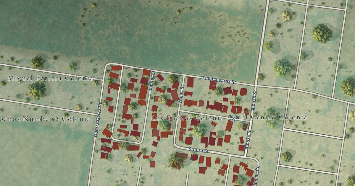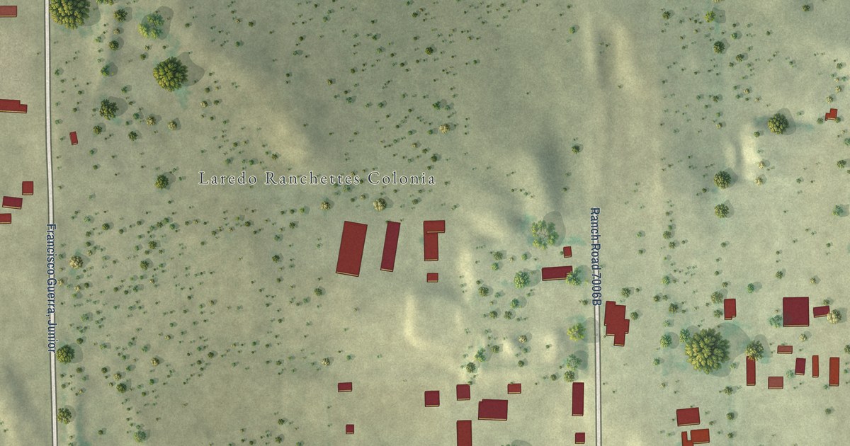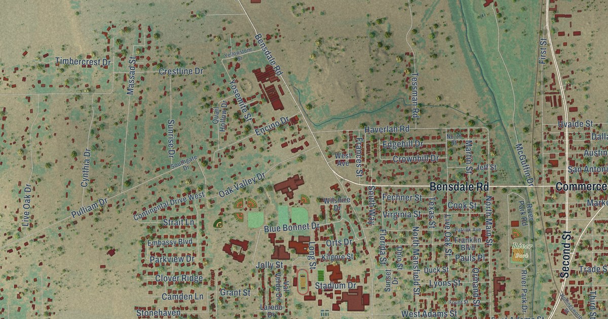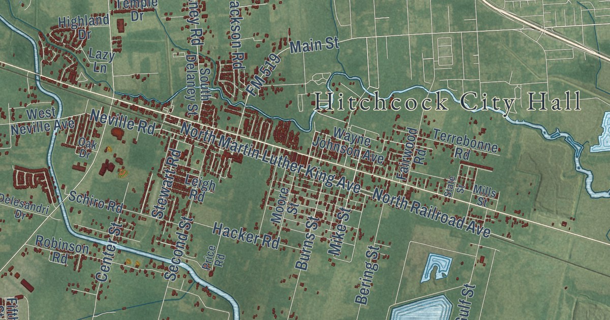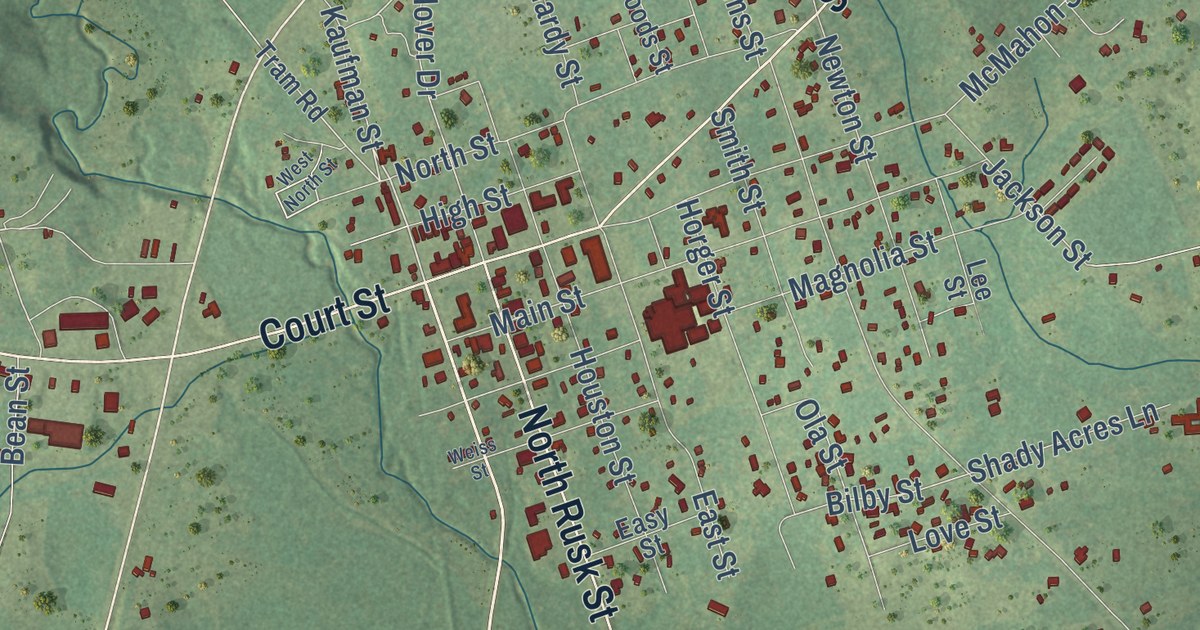
This beautifully detailed map of Newton, Texas was created in 2026 using aerial imagery combined with modern topographical, census, street and landmark data. It’s a one-of-a-kind view of Newton that combines accurate data with a vintage aesthetic. The map shows every building in its true location, many of the roads carry their names, and the shaded topographic relief shows the shape of the land.
Explore an aerial view of Newton, Texas
On the map you’ll find Porter and Roosevelt, along with Kaufman Street, Court Street, State Loop 505, North Rusk Street, Bill Rowe Road, Lee’s Mill Road, Anderson Street, MLK Street, Martin Luther King Drive, North Street, and more. If you look closely you can even find your house accurately drawn in its correct location. Zoom in on the preview to look for yours.
Did you know this piece of Newton, Texas history?
From the Handbook of Texas: "In 1846 the Texas legislature gave the eastern half of Jasper County independent jurisdiction, and the newly organized Newton County was named in honor of John Newton, an American Revolutionary War veteran."
Take a closer look at the Newton map
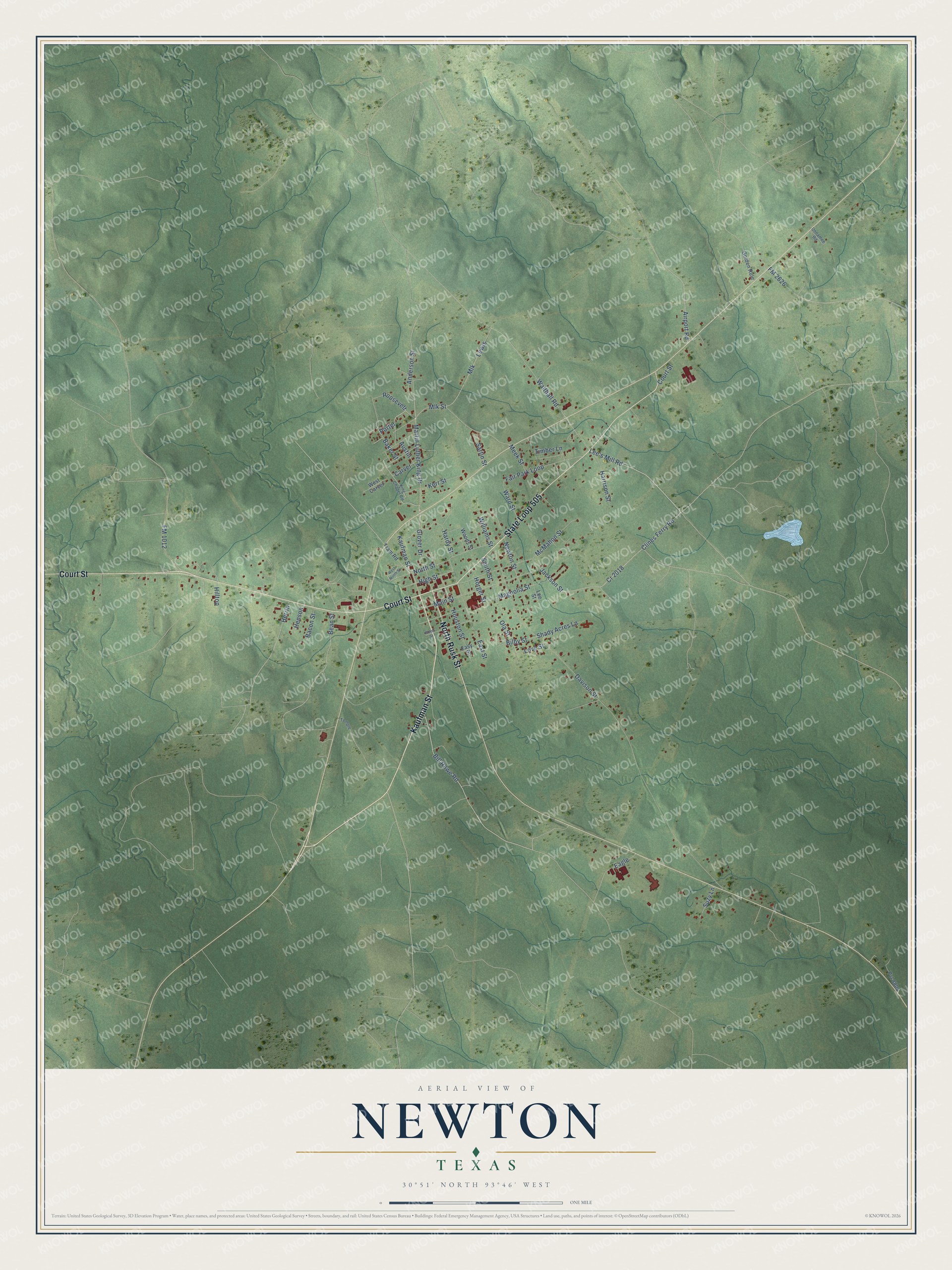
Street names on the Newton, Texas map
These names are printed on the map of Newton, Texas.
Streets and roads: Kaufman Street, Court Street, State Loop 505, North Rusk Street, Bill Rowe Road, Lee's Mill Road, Anderson Street, Porter, Roosevelt, Mlk Street, Martin Luther King Drive, North Street.
More street names, A to Z
Airport Road, Austin, Bacon Street, Baker Street, Bean Street, Bilby Street, Carver, Clines Ferry Road, Cr 2018, Davison Street, Eagle, East Street, Easy Street, Fair Park Loop, FM 1012, FM 2626, Glover Drive, Golden Rule, Hardy Street, Harrison Street, Henson, Herrin, High Street, Hilltop, Horger Street, Houston Street, Jackson Street, Kerr Street, King Chapel Road, Lee Street, Lewis, Love Street, Magnolia Street, Main Street, McMahon Street, Meek Street, Mlk, Newton Street, Ola Street, Pvt 8804, Sartin Street, Shady Acres Lane, Smith Street, Suzy Lane, Temple, Timber Lane, Tram Road, Unnamee Road, Walthall Road, Ward Street, Weiss Street, West Carver, West North Street, Williams Street, Woods Street.
See the Newton, Texas map on a wall
The Newton map as an 18 x 24 inch print in a black frame.

This beautifully detailed map of Newton makes an attractive addition to your office, library, or den, and it can even be used to teach children the geography and history of the area. It also makes a great gift for anyone with Newton roots. When you’re done exploring, click here to get your copy of the Newton map.