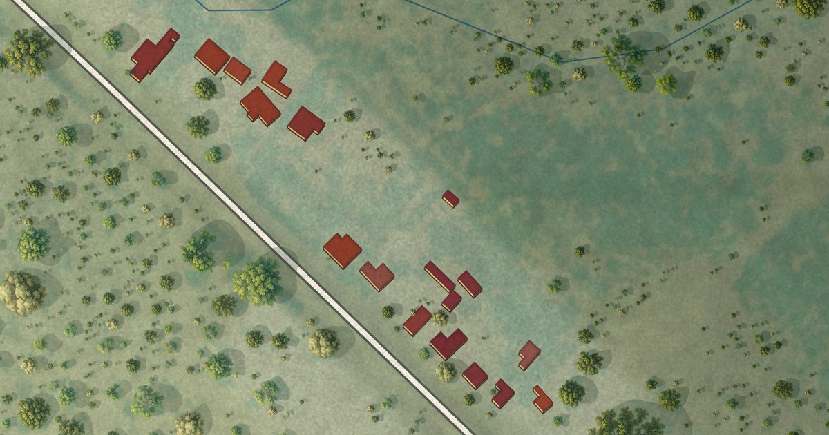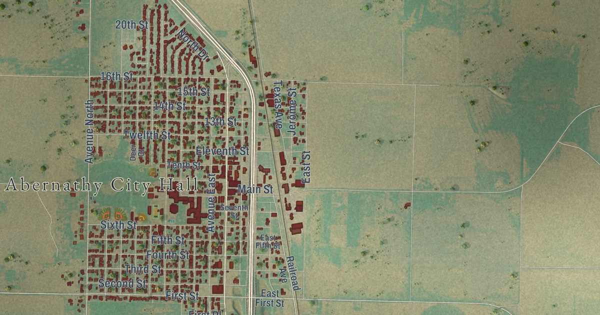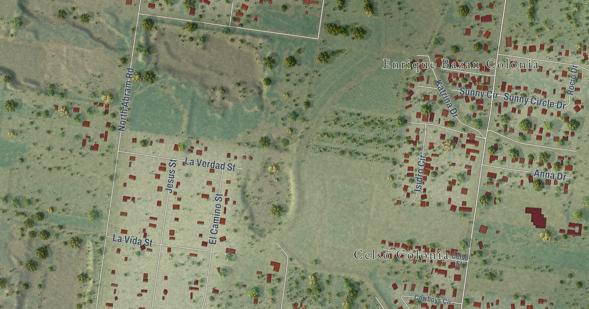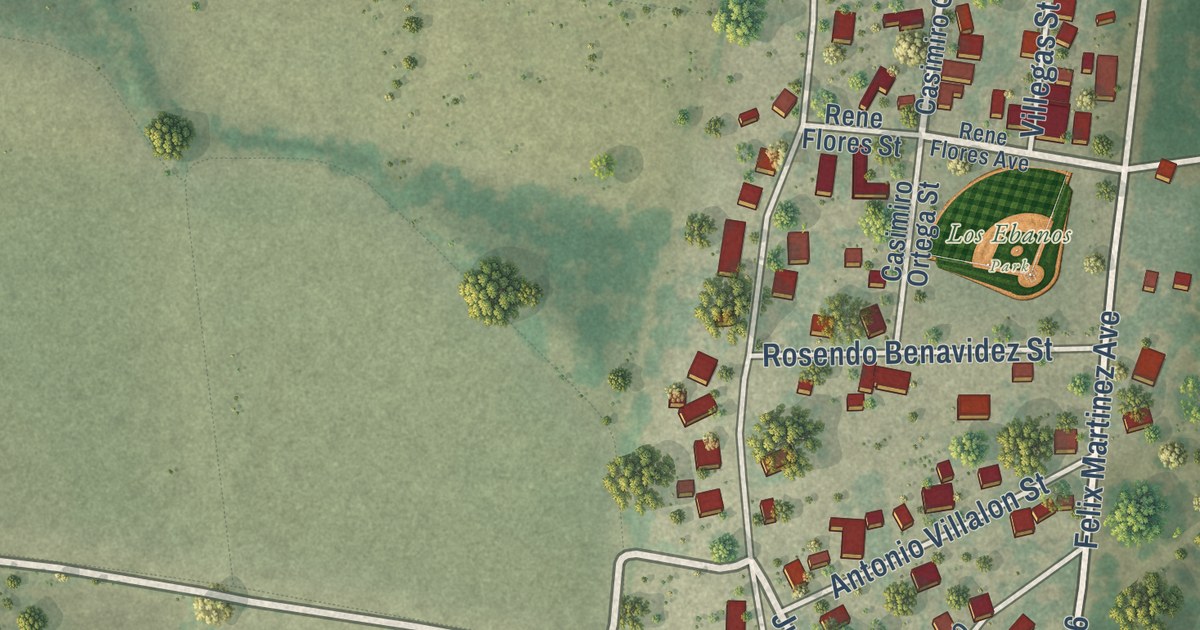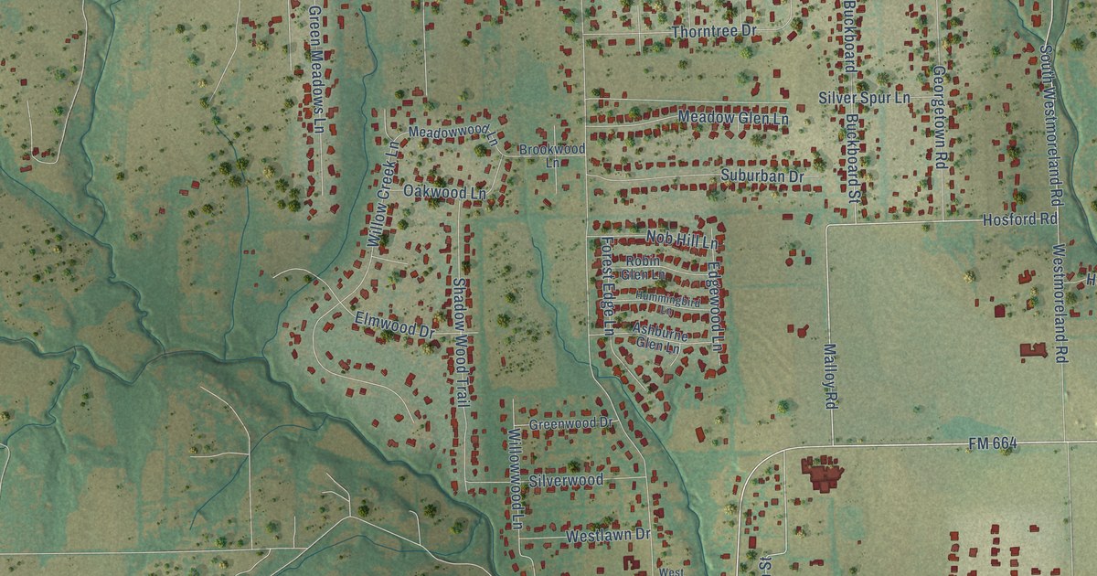
This beautifully detailed map of Ovilla, Texas was created in 2026 using aerial imagery combined with modern topographical, census, street and landmark data. It’s a one-of-a-kind view of Ovilla that combines accurate data with a vintage aesthetic. The map shows every building in its true location, many of the roads carry their names, and the shaded topographic relief shows the shape of the land.
Explore an aerial view of Ovilla, Texas
On the map you’ll find FM 664, Ovilla Road, East Ovilla Road, Malloy Road, Hosford Road, South Westmoreland Road, East Highland Road, East Main Street, County Line Road, South Hampton Road, Cockrell Hill Road, Johnson Lane, and more. If you look closely you can even find your house accurately drawn in its correct location. Zoom in on the preview to look for yours.
Did you know this piece of Ovilla, Texas history?
From the Handbook of Texas: "The church met in a brush arbor until 1853, when a log cabin, which served as both church and schoolhouse, was built."
Take a closer look at the Ovilla map
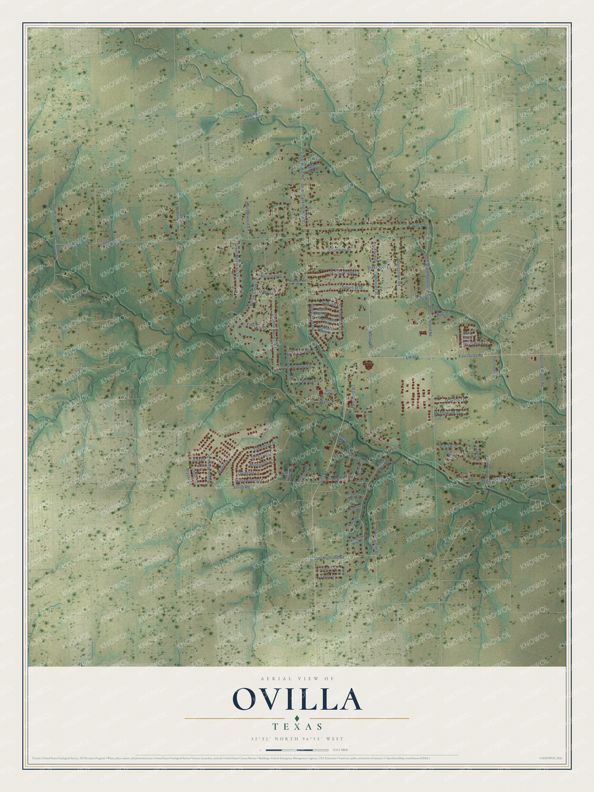
Street names on the Ovilla, Texas map
These names are printed on the map of Ovilla, Texas.
Streets and roads: FM 664, Ovilla Road, East Ovilla Road, Malloy Road, Hosford Road, South Westmoreland Road, East Highland Road, East Main Street, County Line Road, South Hampton Road, Cockrell Hill Road, Johnson Lane.
More street names, A to Z
Ariel Street, Ashburne Glen Lane, Bent Tree Lane, Bill Court, Bluff Creek, Brookwood Lane, Bruce Court, Bryson Lane, Bryson Manor Drive, Buckboard, Buckboard Street, Burtonwood Circle, Cardinal Drive, Cedar Court, Cedar Ridge, Cherry Court, Claremont Drive, Clinton Street, Covington Lane, Creek View Court, Cumberland Drive, Dusty Oak Trail, Edgewood Lane, Elmwood Drive, Forest Edge Lane, Georgetown Road, Green Meadows Lane, Greenwood Drive, Hollingsworth Lane, Holly Lane, Hummingbird Lane, Joe Wilson Road, Judy Drive, Lariat Trail, Maple Lane, Meadow Glen Lane, Meadowlark Drive, Meadowwood Lane, Montpelier Lane, Nob Hill Lane, Oak Creek Lane, Oak Forest Lane, Oak Ridge Drive, Oakwood Lane, Ovilla Oaks Drive, Red Oak Creek Road, Ridgeway Gap, Robin Glen Lane, Savannah Drive, Shadow Wood Trail, Shiloh Road, Silver Spur Lane, Silverwood, Slippery Elm Drive, Slippery Rock Court, South Cockrell Hill Road, South Duncanville Road, South Joe Wilson Road, Split Rock Terrace, Suburban Drive, Taylor Street, Thorntree Drive, Water Street, West Bear Creek Road, Westlawn Drive, West Main Street, Westmoreland Road, White Rock Court, William Drive, Williamsburg Lane, Willow Creek Lane, Willowwood Lane, Winding Way Court, Woodridge Court.
See the Ovilla, Texas map on a wall
The Ovilla map as an 18 x 24 inch print in a black frame.

This beautifully detailed map of Ovilla makes an attractive addition to your office, library, or den, and it can even be used to teach children the geography and history of the area. It also makes a great gift for anyone with Ovilla roots. When you’re done exploring, click here to get your copy of the Ovilla map.