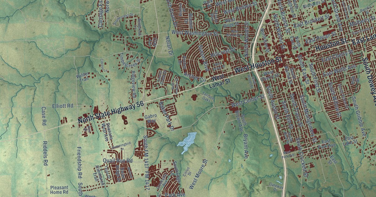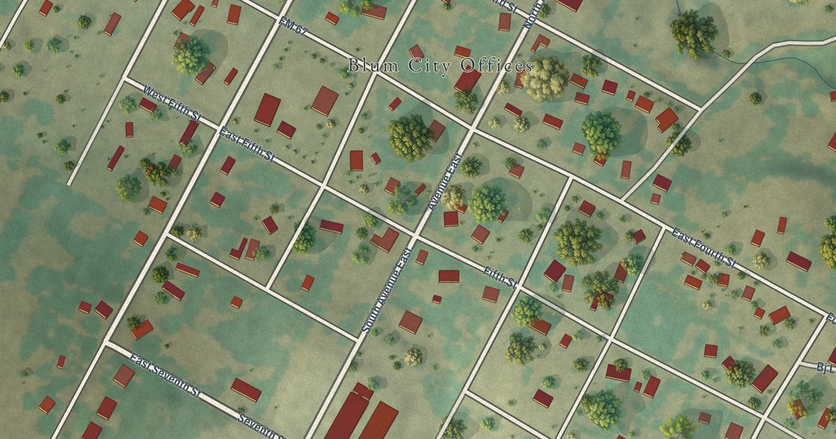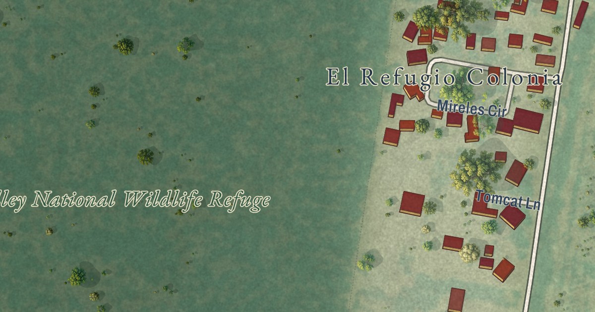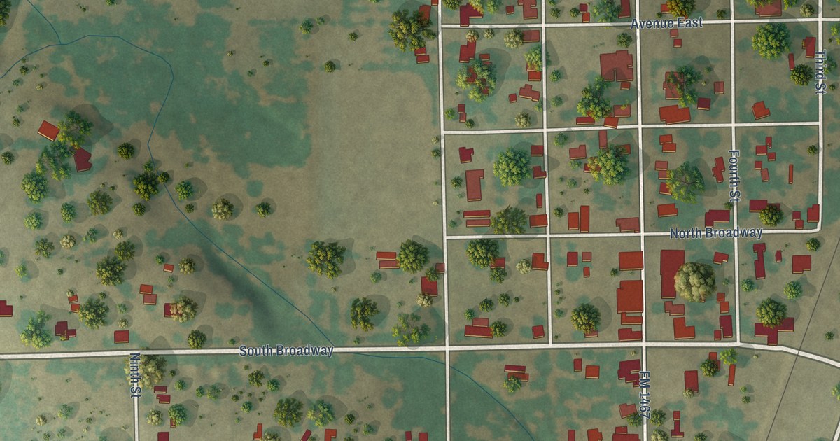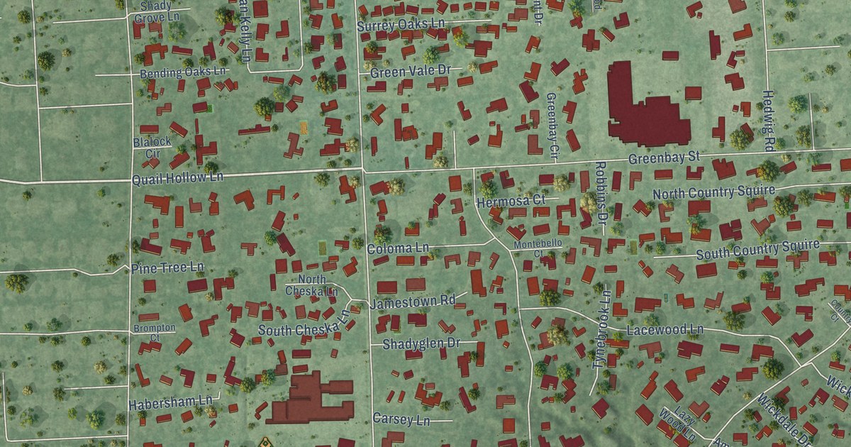
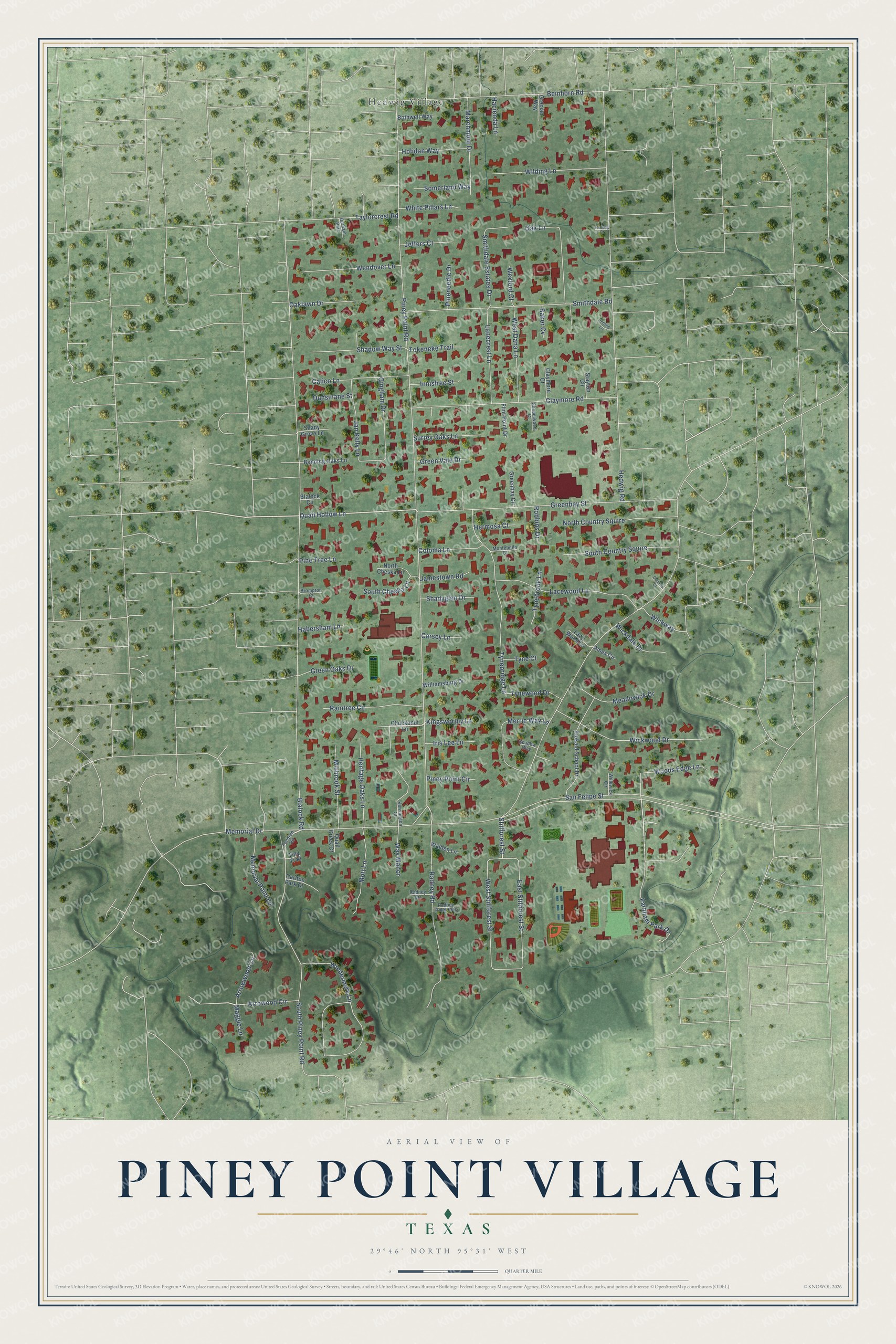
This beautifully detailed map of Piney Point Village, Texas was created in 2026 using aerial imagery combined with modern topographical, census, street and landmark data. It’s a one-of-a-kind view of Piney Point Village that combines accurate data with a vintage aesthetic. The map shows every building in its true location, many of the roads carry their names, and the shaded topographic relief shows the shape of the land.
Explore an aerial view of Piney Point Village, Texas
On the map you’ll find Hedwig Village, along with Piney Point Road, Farnham Park Drive, Quail Hollow Lane, Stillforest Street, Memorial Drive, Blalock Road, Hedwig Road, San Felipe Street, Greenbay Street, Windermere Lane, Beinhorn Road, and more. If you look closely you can even find your house accurately drawn in its correct location. Zoom in on the preview to look for yours.
Did you know this piece of Piney Point Village, Texas history?
From the Handbook of Texas: "One of several affluent communities known as the Villages, Piney Point incorporated in 1955 with an alderman type of municipal government and by 1966 had a public school and four churches."
Take a closer look at the Piney Point Village map
Street and place names on the Piney Point Village, Texas map
These names are printed on the map of Piney Point Village, Texas.
Places: Hedwig Village.
Streets and roads: Piney Point Road, Farnham Park Drive, Quail Hollow Lane, Stillforest Street, Memorial Drive, Blalock Road, Hedwig Road, San Felipe Street, Greenbay Street, Windermere Lane, Beinhorn Road, Smithdale Road.
More street names, A to Z
Ames Circle, Arrowood Circle, Arrowwood Circle, Baker Cv, Bending Oaks Lane, Blalock Circle, Bothwell Way, Brompton Court, Calico Lane, Carlton Park Court, Carsey Lane, Chapelwood Court, Chuckanut Lane, Claymore Court, Claymore Road, Coloma Lane, Country Court, Derham Parc, Dunsinane Street, East Stillforest Street, Flint Point Drive, Fondren Road, Gingham Drive, Grecian Way, Greenbay Circle, Green Oaks Drive, Green Vale Drive, Habersham Lane, Hacienda Lane, Hedwig Court, Hedwig Lane, Heritage Oaks Lane, Hermosa Court, Holidan Way, Innisfree Street, Iris Lee Lane, Jamestown Road, Jan Kelly Lane, Jeffers Court, Kensington Court, Kingsworthy Lane, Kinkaid School Drive, Lacewood Lane, Lanecrest Lane, Lazy Wood Lane, Maggie Lane, Marchmont Drive, Meadowick Drive, Memorial Point Lane, Merrie Way Lane, Millbrook Street, Montebello Court, Mott Lane, North Cheska Lane, North Country Squire, Oak Lane, Oaklawn Drive, Pineneedle Drive, Pine Tree Lane, Piney Point Circle, Quail Creek Court, Radney Circle, Radney Road, Radney Road Ests, Raintree Circle, Robbins Drive, Shadow Way, Shadow Way Street, Shadyglen Drive, Shady Grove Lane, Smithdale Estates Drive, Somerland Way, South Cheska Lane, South Country Squire, South Piney Point Road, Stayton Circle, Surrey Oaks Lane, Taylorcrest Road, Tiny Trail, Tokeneke Trail, Tynebridge Lane, Tynebrook Lane, Tyne Court, Tynewood Drive, Walden Lane, Way Manor, Wendover Lane, West Dana Lane, West Stillforest Street, Wexford Court, White Pillars Lane, Wickdale Drive, Wickway, Wickwood Drive, Wilding Lane, Williamsburg Drive, Willowick Circle, Woods Edge Lane.
See the Piney Point Village, Texas map on a wall
The Piney Point Village map as an 18 x 24 inch print in a black frame.

This beautifully detailed map of Piney Point Village makes an attractive addition to your office, library, or den, and it can even be used to teach children the geography and history of the area. It also makes a great gift for anyone who grew up in Piney Point Village or moved away. When you’re done exploring, click here to get your copy of the Piney Point Village map.