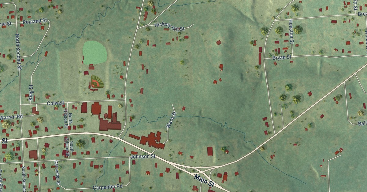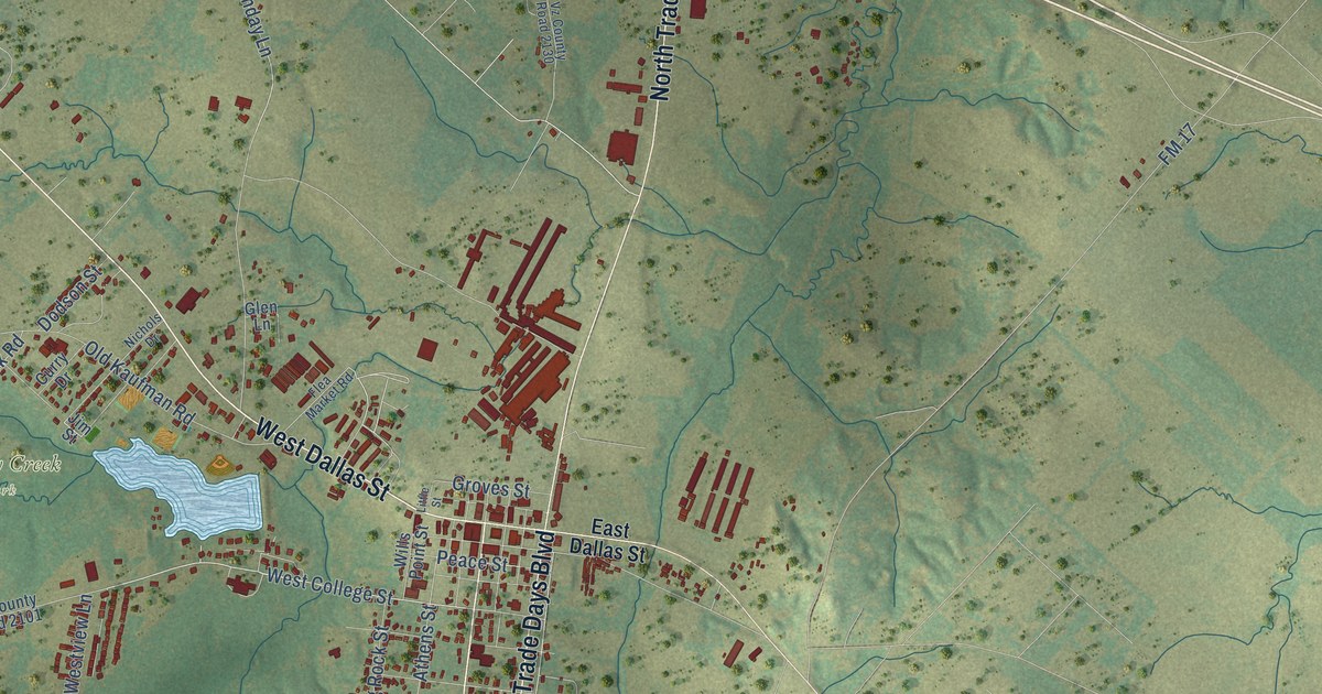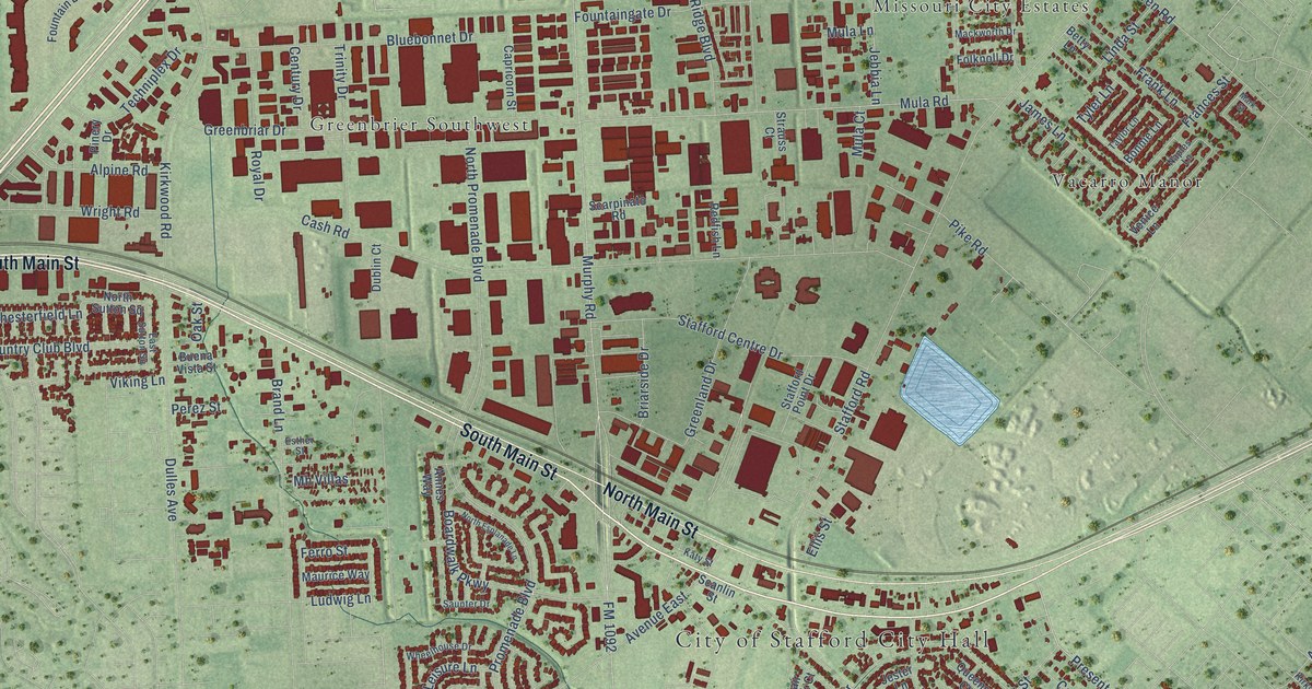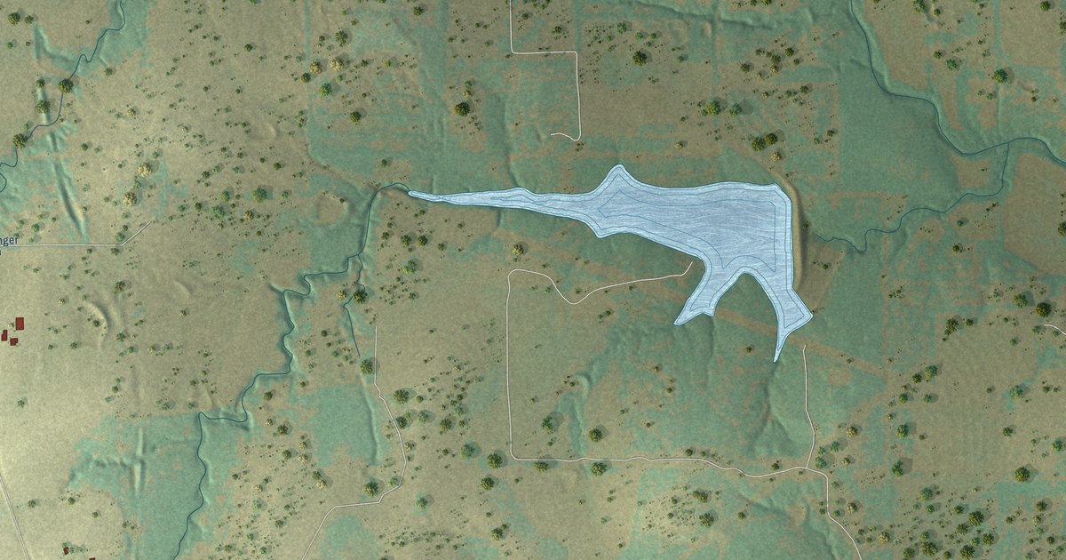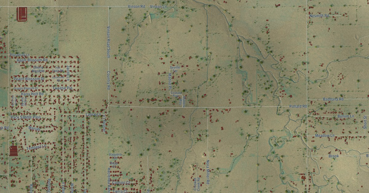
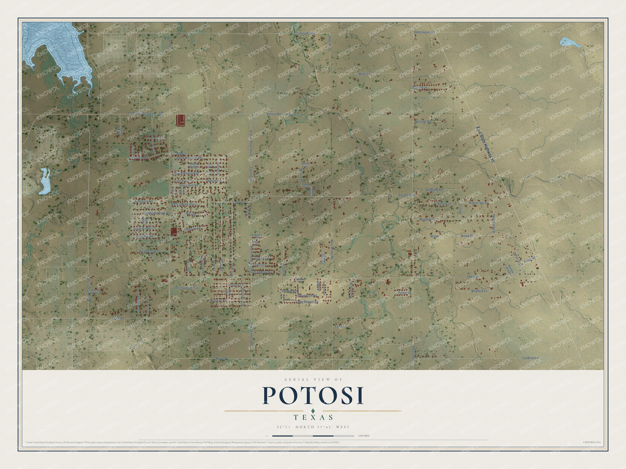
This beautifully detailed map of Potosi, Texas was created in 2026 using aerial imagery combined with modern topographical, census, street and landmark data. It's a modern aerial view of Potosi in Taylor County, Texas, that combines modern data with a vintage aesthetic. The roads feature printed names, and if you look closely you can find your exact house accurately shown in its correct location.
Explore an aerial view of Potosi, Texas
On this map you'll find East State Highway 36, Key Lane, Clark Road, FM 707 South, Bacacita Farms Road, Vinson Road, Colony Hill Road, Hacienda Ranch Road, Madrid Place, Allen Acres, FM 1750, Potosi Road, and more. Each red shape is a building, so zoom in on the preview and look for yours.
Every town has a first chapter, and Potosi is no exception. Potosi grew on land the Pollard family settled in the 1870s. In 1893 R. A. Pollard applied for a post office and chose the name Potosi, after the town in Mexico. A Methodist church went up in 1880, burned in 1884 and was rebuilt, and school was held in the church until a one-room schoolhouse was built in 1897. That's from the Handbook of Texas.
Potosi is a community in Taylor County. The Census Bureau counted 3,947 people here in 2020.
Take a closer look at the Potosi map
Names on this map
These names are printed on this map.
Places: Cordoba Park.
Streets and roads: East State Highway 36, Key Lane, Clark Road, FM 707 South, Bacacita Farms Road, Vinson Road, Colony Hill Road, Hacienda Ranch Road, Madrid Place, Allen Acres, FM 1750, Potosi Road.
More street names, A to Z
Apple Blossom Road, Avenue Arroyo, Aztec Road, Baize Road, Bandana Road, Beechcraft Road, Bell Street, Big Foot Trail, Bluebird Lane, Brook, Brook Drive, Bynum Lane, Cactus Rose Trail, Camino Court, Cardinal Lane, Castle Rock, Cessna Court, Cherry Blossom, Codybug Road, Contera Court, Country Road, Crooked Creek Road, Embraer Road, Fawn Lane, FM 707, FM 707 Spr, Foxtrot Lane, Greenfield Road, Gulfstream Street, Handsome Jack Road, Harry Holt Road, Hawker Road, Hog Eye Road, Hondo Road, Idle Creek Trail, Indian Trail, Iron Eagle Road, Jacob Lane, Jeremy Lane, Lance Lane, Larned Lane, Long Ranger Road, Madera Way, Mariah, Meadow Lane, Mikes Way, Miller Lane, Nesmith Road, Nora Miller Road, Old Cheyenne Trail, Old Coleman Highway, Old Elmdale Road, Oldham Lane, Orange Blossom Drive, Pack Saddle Pass, Palomino, Parker Drive, Peach Blossom Drive, Pennington Road, Pollard Road, Prairie Creek Way, Prairie Harvest Road, Prairie Rose Trail, Prairie Star Road, Prosperity Lane, Prosperity Road, Quicksilver Road, Raymonds Way, Ridgecrest Drive, Sanford Lane, Seville Terrace, Short Street, Southwind Circle, Sugar Biscuit Lane, Sundance Road, Tempest Lane, Tierra Court, Todd Trail, Trails End Road, Tweetie Pie, Vaquero Court, Vinson Lane, Vinson Road South, Vista Court, Weatherman Lane, Wolfe Road.
See it on a wall
The Potosi map as a framed print. Swipe for more.


Created by KNOWOL in 2026. The buildings are small red shapes, the roads carry their printed names, and shaded relief shows the shape of the land. The title panel reads "AERIAL VIEW OF POTOSI, TEXAS" with 32°21' NORTH 99°41' WEST.
Hang it in the hallway, the office or the cabin, or give it to someone who left Potosi and still calls it home. Open the preview and look for a street you know. See sizes and frames for the Potosi map.