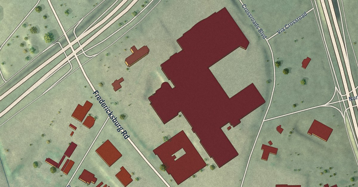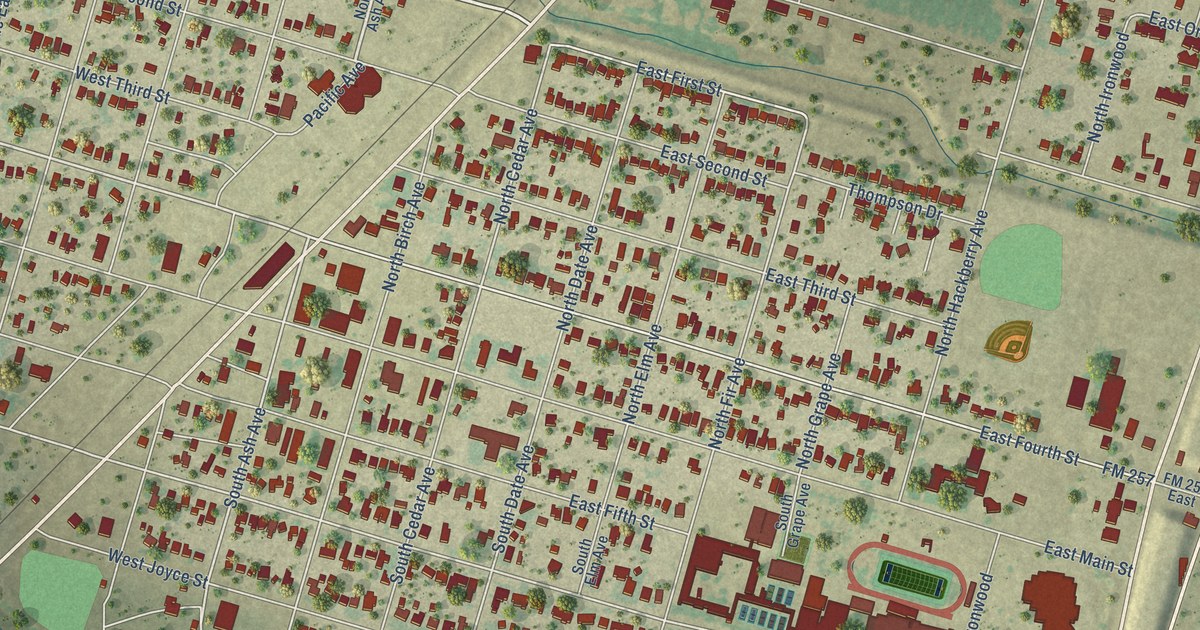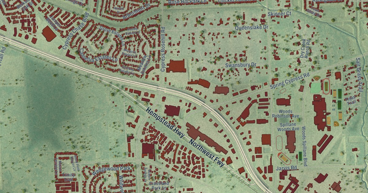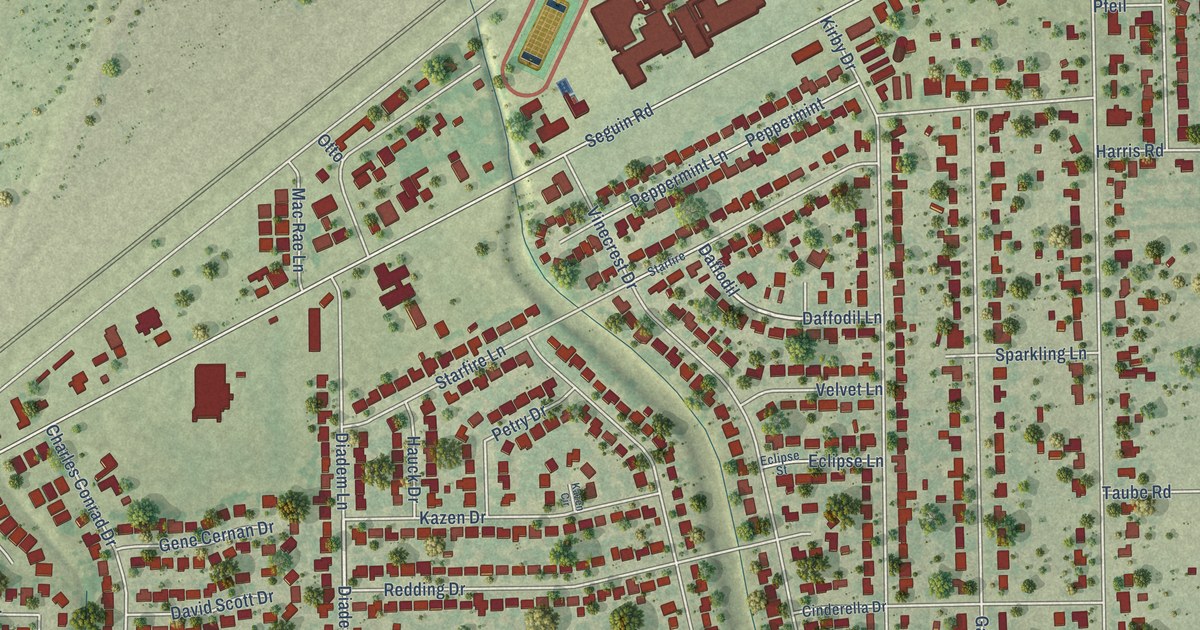
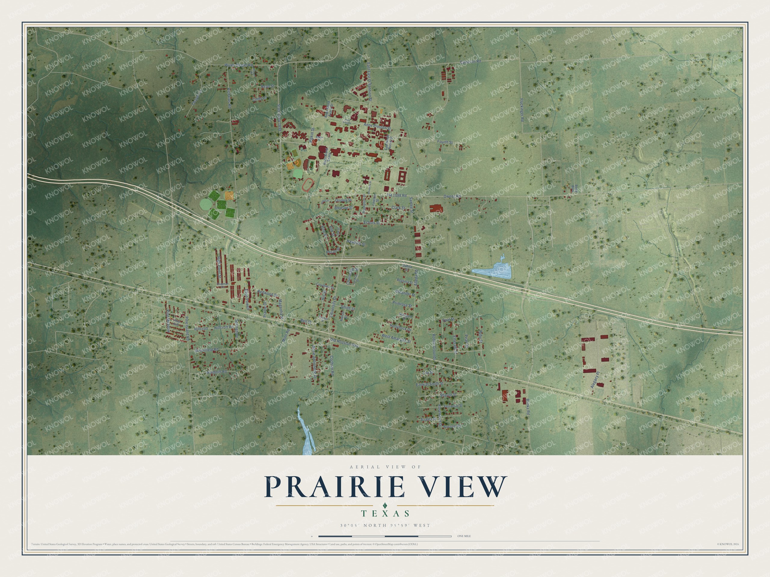
This beautifully detailed map of Prairie View, Texas was created in 2026 using aerial imagery combined with modern topographical, census, street and landmark data. It’s a one-of-a-kind view of Prairie View that combines accurate data with a vintage aesthetic. The map shows every building in its true location, many of the roads carry their names, and the shaded topographic relief shows the shape of the land.
Explore an aerial view of Prairie View, Texas
On the map you’ll find Owens Road, Anne Preston Street, Opal Street, Redwood Drive, FM 1098 Road, Old Houston Highway, Richards Road, Wyatt Chapel Road, University Drive, Fluckinger Road, Cameron Road, State Loop 1098, and more. If you look closely you can even find your house accurately drawn in its correct location. Zoom in on the preview to look for yours.
Did you know this piece of Prairie View, Texas history?
From the Handbook of Texas: "In April 1879 an act of the state legislature established Prairie View Normal and Industrial Training School (now Prairie View A&M University) to extend broader educational opportunities to Black youth."
Take a closer look at the Prairie View map
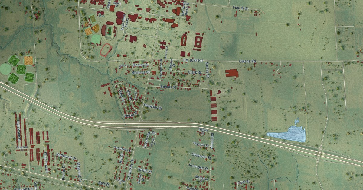
Street names on the Prairie View, Texas map
These names are printed on the map of Prairie View, Texas.
Streets and roads: Owens Road, Anne Preston Street, Opal Street, Redwood Drive, FM 1098 Road, Old Houston Highway, Richards Road, Wyatt Chapel Road, University Drive, Fluckinger Road, Cameron Road, State Loop 1098.
More street names, A to Z
Alegacy Place, Alleda Road, Alonzo Street, Anne Preston, Azalea Street, Baker Street, Bean Street, Begonia Street, Bell Street, Bledsoe Street, Blinka Road, Blossom Road, Chapel Lane, Chapman Lane, Charleston Street, Cindy Lane, Clark Street, Cochran Road, Colonial Drive, Coruthers Street, Dahila Street, Dooley Street, East East O'Bannion Street, East North Norris Street, Echols Street, Ellen Powell, Elm Street, Emerald Street, Ezekial Smith Street, Fernwood Street, Fourth Street, Greenfield Road, Hawkins Street, High Point Street, Hillcroft, Hillcroft Road, Hill Street, Hollyhock Drive, Lawson Street, Lily Street, Magnolia Street, Manuel Road, Marie Antionette Drive, Marigold Drive, Minn Road, Oak Street, Oleander Street, Pearl Street, Pecan Street, Phillps Street, Pine Avenue, Pine Island Road, Pine Meadow, Pine Street, Prairie Drive, Primrose Street, Reda Bland Evans, Reda Bland Evans Street, Reed Boulevard, Ripkin Street, Rodeo Grounds, Rosewood Drive, Ruby Street, Santee Street, Sharon Street, Smith Street, Springdale, Thomas Street, Thompson Drive, University Street, West Amaryllis Street, Windmill Road.
See the Prairie View, Texas map on a wall
The Prairie View map as an 18 x 24 inch print in a black frame.

This beautifully detailed map of Prairie View makes an attractive addition to your office, library, or den, and it can even be used to teach children the geography and history of the area. It also makes a great gift for anyone with Prairie View roots. When you’re done exploring, click here to get your copy of the Prairie View map.