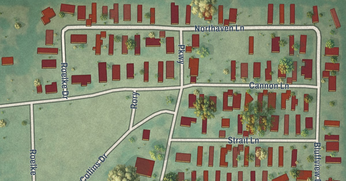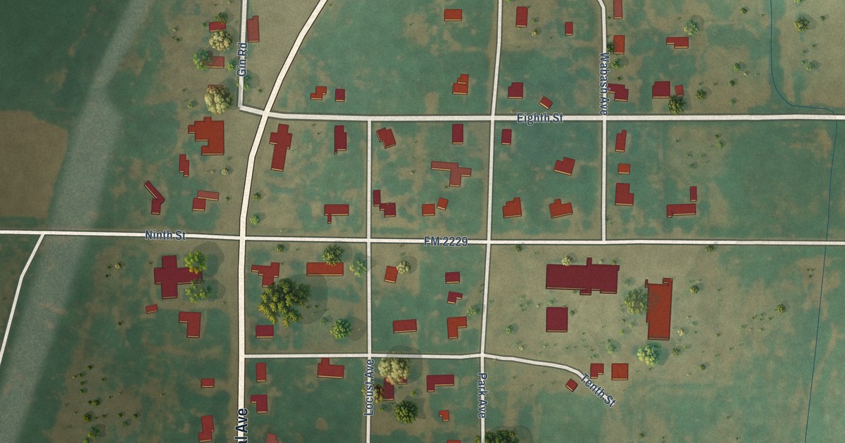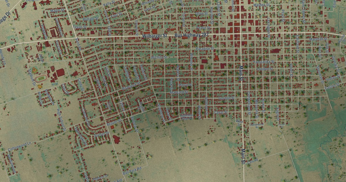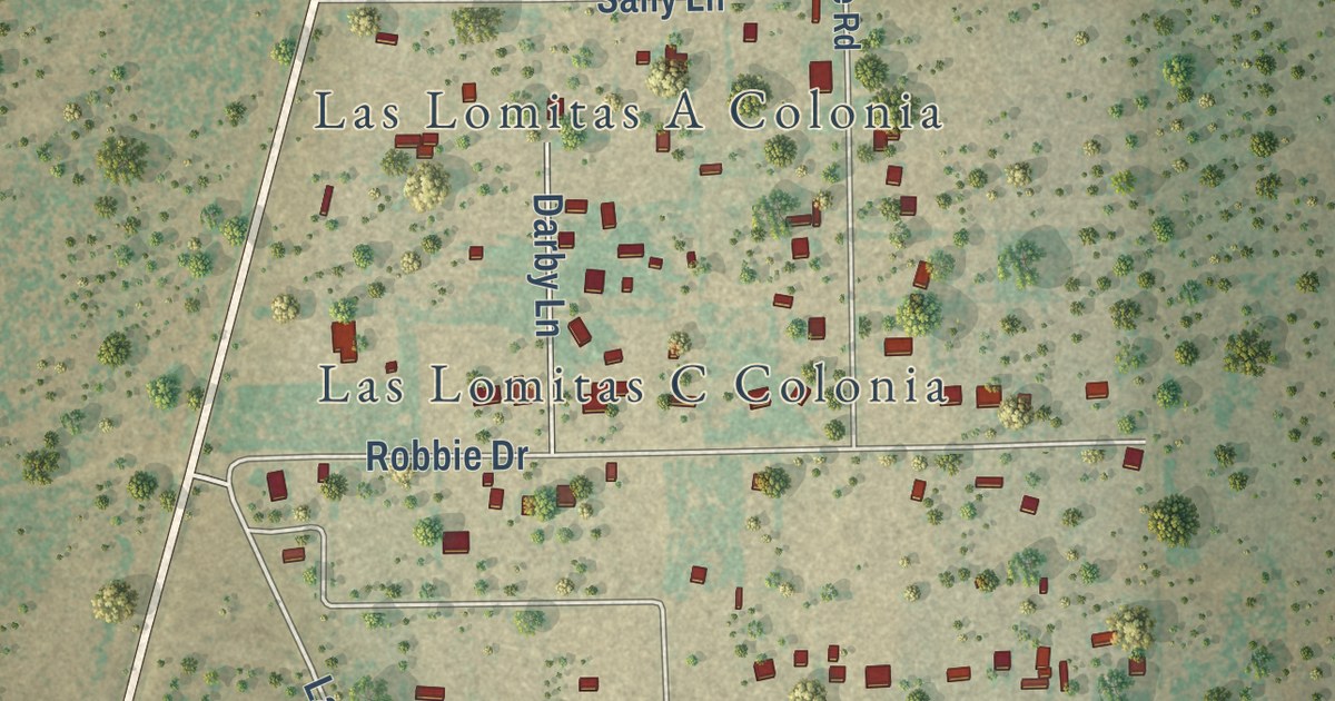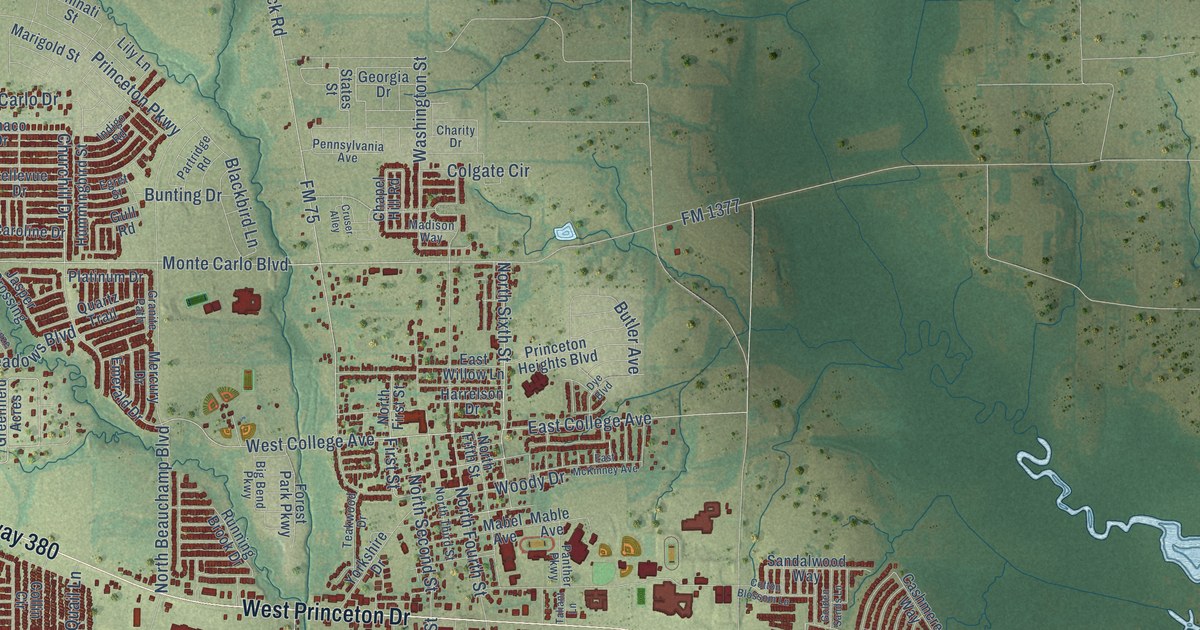
This beautifully detailed map of Princeton, Texas was created in 2026 using aerial imagery combined with modern topographical, census, street and landmark data. It’s a one-of-a-kind view of Princeton that combines accurate data with a vintage aesthetic. The map shows every building in its true location, many of the roads carry their names, and the shaded topographic relief shows the shape of the land.
Explore an aerial view of Princeton, Texas
On the map you’ll find Culleoka, along with East US Highway 380, East Princeton Drive, West Princeton Drive, South Second Street, West College Avenue, East College Avenue, Meadow Crest Drive, Blossom Court Drive, Auburn Forest Drive, Churchill Drive, Sassafras Drive, and more. If you look closely you can even find your house accurately drawn in its correct location. Zoom in on the preview to look for yours.
Did you know this piece of Princeton, Texas history?
From the Handbook of Texas: "When residents applied for a post office branch, however, they learned that the name Wilson was already being used. The community then submitted the name Princeton in honor of Prince Dowlin, a landowner and promoter of the town."
Take a closer look at the Princeton map
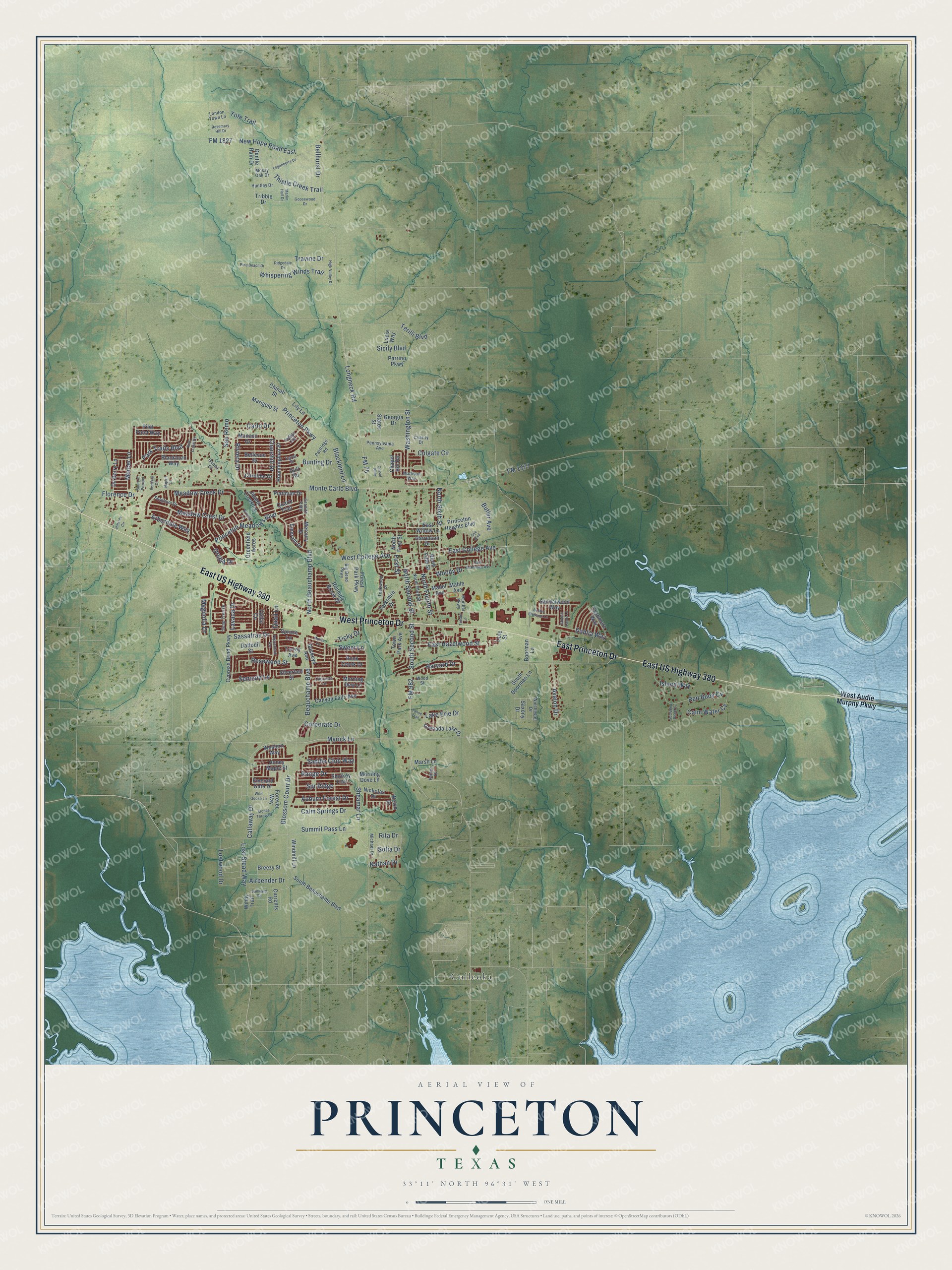
Street and place names on the Princeton, Texas map
These names are printed on the map of Princeton, Texas.
Places: Culleoka.
Streets and roads: East US Highway 380, East Princeton Drive, West Princeton Drive, South Second Street, West College Avenue, East College Avenue, Meadow Crest Drive, Blossom Court Drive, Auburn Forest Drive, Churchill Drive, Sassafras Drive, FM 982.
More street names, A to Z
Airbender Drive, Arbordale Way, Avalon Drive, Beauchamp Boulevard, Bellevue Drive, Bellhurst Drive, Big Bend Parkway, Blackbird Lane, Blackburn Way, Boorman Lane, Breezy Street, Bronze Lane, Buckeye Avenue, Bunting Drive, Butler Avenue, Callaway Drive, Calm Springs Drive, Calm Water Cv, Canyon Falls Avenue, Carlo Drive, Caroline Drive, Cascade Lane, Cashmere Way, Chapel Hill Road, Charity Drive, Chinati Street, Cole Street, Colgate Circle, Collin Circle, Corporate Drive, Cotton Blossom Lane, Court of Pompei, Cruser Alley, Currents Road, Cypress Bend Parkway, Daffodil Street, Dahlia Way, De Berry Lane, Dye Boulevard, East Hazelwood Street, East McKinney Avenue, East Willow Lane, Egret Street, Emerald Drive, Emerald Gate Drive, First Street, Florence Drive, FM 75, FM 1377, FM 1827, Forest Park Parkway, Forever Way, Genoa Court, Gentle Rain Drive, Georgia Drive, Golden Sands Lane, Goosewood Drive, Granite Path, Greenfield Acres, Grenada Lake Drive, Gull Road, Harrelson Drive, Harvard Drive, High Valley Drive, Hillside Circle, Honey Maple Street, Hummingbird Street, Huntley Drive, Indigo Road, Island Way, Jasper Crossing, Kim Loan Drive, Lake Erie Drive, Lavaca Drive, Lily Lane, Loganberry Drive, London Town Lane, Longneck Road, Lost Stead Way, Lostwood Drive, Lucia Way, Mabel Avenue, Mable Avenue, Madison Way, Magnolia Drive, Marigold Street, Marlin Hall Drive, Marsh Lane, Meadow Creek Drive, Mercer Lane, Mercury Drive, Michael Drive, Monaco Drive, Monte Carlo Boulevard, Morning Dew Lane, Morning Dove Lane, Mossy Oak Drive, Myrick Lane, Myrtle Lane, Napoli Court, Nathan Drive, New Hope Road East, Nickolas Drive, North Beauchamp Boulevard, North Fifth Street, North First Street, North Fourth Street, North Second Street, North Sixth Street, North Third Street, Orchid Drive, Panther Parkway, Parker Drive, Park Trails Boulevard, Parrino Parkway, Partridge Road, Pennsylvania Avenue, Pepperbark Avenue, Pilot Point Way, Pine Beach Drive, Platinum Drive, Princeton Heights Boulevard, Princeton Meadows Boulevard, Princeton Parkway, Quail Lane, Quartz Trail, Range Drive, Red Buoy Cv, Ridgedale Drive, Rita Drive, Riviera Drive, Rock Creek Drive, Rosemary Hill Drive, Rosewood Street, Running Brook Drive, Saddle Club Way, Sandalwood Way, San Remo, Saxony Drive, Secluded Pond Cv, Sequoia Lane, Sheamar Lane, Sicily Boulevard, Silverbell Street, Smokey Trail, Soap Tree Drive, Sofia Drive, Sorghum Drive, South Beauchamp Boulevard, South Boorman Lane, Spr Ridge, Spruce Lane, States Street, Stones Throw Drive, Summit Pass Lane, Sunward Road, Sweet Lane, Tahoe Trail, Taliant Lane, Teakwood Drive, Terilli Boulevard, Thistle Creek Trail, Ticky Drive, Torrey Avenue, Town Park Avenue, Travine Drive, Tribble Drive, Venezia Court, Washington Street, Welch Drive, West Audie Murphy Parkway, Western Way, Whispering Winds Trail, Wild Goose Lane, Winchester Drive, Windmill Lane, Windy Trail, Wood Street, Woody Drive, Yorkshire Drive, Yote Trail.
See the Princeton, Texas map on a wall
The Princeton map as an 18 x 24 inch print in a black frame.

This beautifully detailed map of Princeton makes an attractive addition to your office, library, or den, and it can even be used to teach children the geography and history of the area. It also makes a great gift for someone who left Princeton and still calls it home. When you’re done exploring, click here to get your copy of the Princeton map.