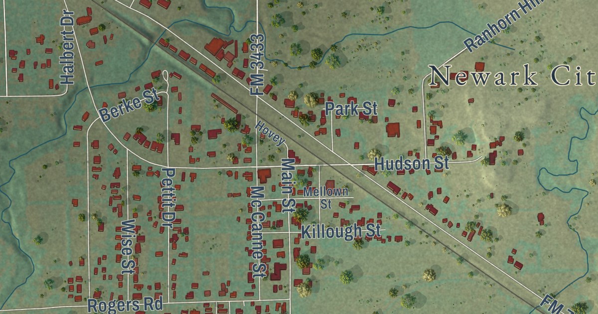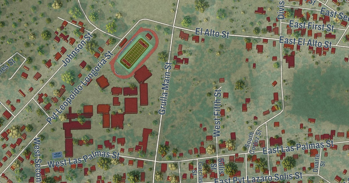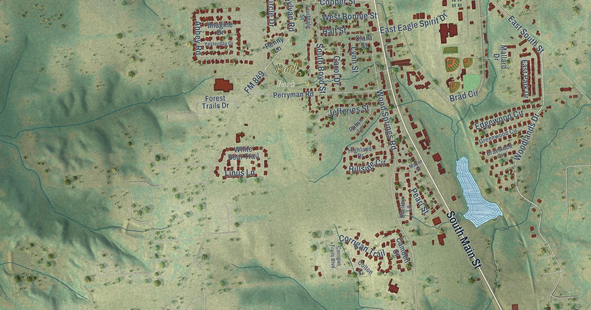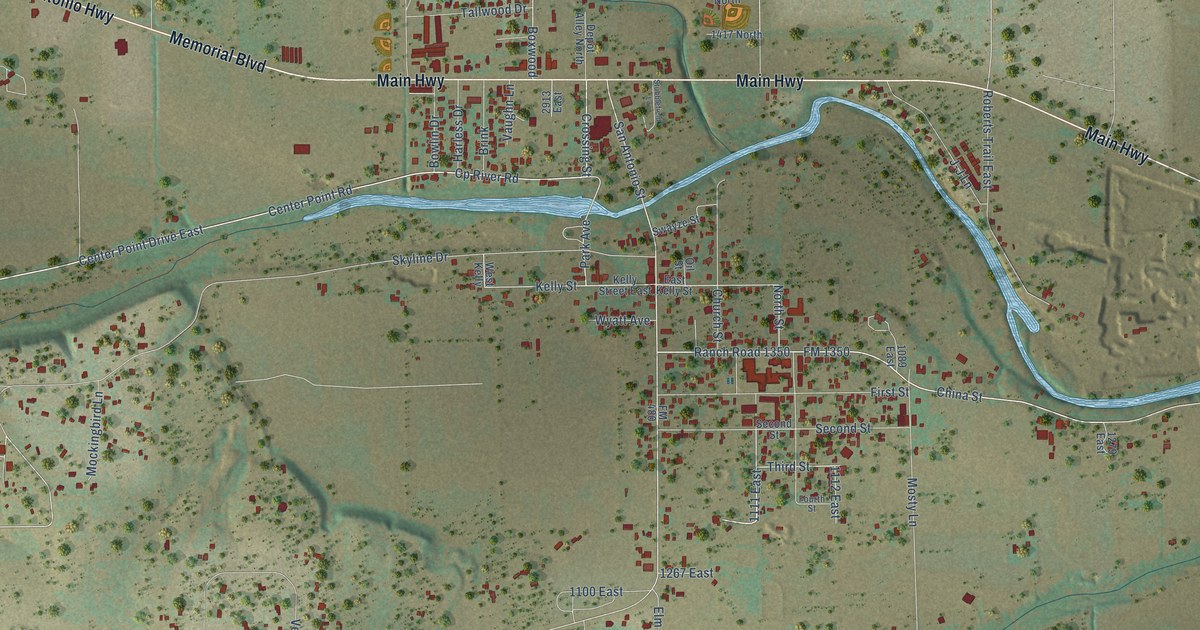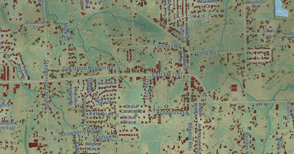
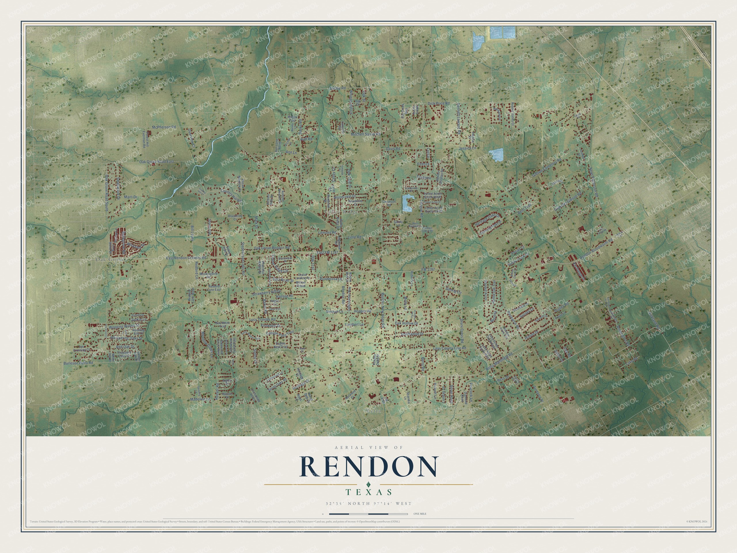
This beautifully detailed map of Rendon, Texas was created in 2026 using aerial imagery combined with modern topographical, census, street and landmark data. It’s a one-of-a-kind view of Rendon that combines accurate data with a vintage aesthetic. The map shows every building in its true location, many of the roads carry their names, and the shaded topographic relief shows the shape of the land.
Explore an aerial view of Rendon, Texas
On the map you’ll find Retta, Oak Grove, Valley Ridge, and East FM 1187, along with Retta Mansfield Road, Levy County Line Road, East Rendon Crowley Road, Hinton Drive, Bellegrove Road, Jackie Lane, FM 1187, Rendon Bloodworth Road, and more. If you look closely you can even find your house accurately drawn in its correct location. Zoom in on the preview to look for yours.
Did you know this piece of Rendon, Texas history?
From the Handbook of Texas: "In 1891 a post office opened under the name of Rendon, after Joaquin Rendon, the original land grant holder in the region."
Take a closer look at the Rendon map
Street and place names on the Rendon, Texas map
These names are printed on the map of Rendon, Texas.
Places: Retta, Oak Grove and Valley Ridge.
Streets and roads: Retta Mansfield Road, Levy County Line Road, East Rendon Crowley Road, East FM 1187, Hinton Drive, Bellegrove Road, Jackie Lane, FM 1187, Rendon Bloodworth Road, Bennett Lawson Road, Burleson Retta Road, Rendon New Hope Road.
More street names, A to Z
Alda Court, Alydar Drive, Ann Lane, Ann Lane North, Austin Creek, Autumn Breeze Circle, Autumn Hills Drive, Baker Road, Baldwin Lane East, Banks Road, Bent Trail, Berry Road, Bill Levey, Blackerby Cv, Bob White Trail, Canyon Pass Trail, Carey Road, Carol's Court, Casey Court, Chase Landing Drive, Country Hill Court, Country Hill Road, Davidson Road, Davis Road, Deerfield Drive, Diamond Oaks Drive, Diamond Rose, Dick Price Road, Doris Walker Trail, Dorothy Drive, Drury Cross Road, Eagles Nest Trail, East Brian Street, East Santa Fe Trail, Elm Creek Way, Enchanted Acres, Exchange Drive, Farah Place, Firenze, Firewood Drive, FM 2738, Forest Acres Circle North, Forest Acres Circle South, Forest Hill Everman Road, Garden Acres Drive, Gatewood Circle East, Gatewood Circle West, Gehrig Circle, Gibson Cemetery Road, Granville Drive, Grimsley Gibson Road, Hackamore, Hanson Hl, Hassop Lane, Heritage Court, Heritage Drive, Heritage Oaks Drive, Hess Drive, Hidden Valley Court, Highview Road, Highway 1187, Hollow Oak Trail, Hoover Road, Hopper Road, Hughs Lane, Jessica Court, Jessica Lane, Joshua Court, Kirkland Road, Lake Road, Lambert Lane, Lancelot Circle, Larkwood Lane, Lemons Road, Levy Acres Circle East, Levy Acres Circle West, Lightcatcher Way, Little Creek Road, Little Road, Long Stone Drive, Lucca, Lucy Trimble Road, Lunar Lane, Lunday Lane, Madeline Lane, Mark Drive, Marti Drive, McPherson Road, Meadow Creek Lane, Mitchell Saxon Road, Mockingbird Road, Molly Lane, Newt Patterson Road, Nocona, Norwood Court, Oak Court, Oak Grove Lane, Oak Grove Rendon Road, Oak Grove Road East, Oak Grove Road South, Oak Hollow Drive, Oak Road, Oak Street, Oak Trail, Oak Tree Drive, Oakwood Circle, Ousley Road, Overview Court, Peaceful Valley Drive, Peacock Lane, Pecan Court, Pecan Hollow Lane, Pecan Meadow Drive, Pickett Lane, Ponderosa Lane, Redbird Lane, Redbird Lane East, Redbird Lane West, Red Oak Drive, Remington Road, Remmington Road, Rendon Estates Road, Rendon Oaks Drive, Rendon Road, Renwood Drive, Research Road, Roberts Lane, Rosie Lane, Roys Lane, Ruff Road, Rustling Elm Court, Sandy Lane, Scandia Lane, Selman Lane, Serenity Lane, Shadowoak Drive, Sharon Jean Drive, Shelby Road, Shirley Lane, Silver Rose, Skyview, Smallwood Drive, Smith Drive, South David Street, Southwood Drive, Spring Oaks Road, Stephenson Levy Road, Storm Cat, Strawberry Hill Drive, Sundance Drive, Sunny Lane, Sussex Lane, Swale Court, Syble Jean Drive, Teague Road, Thousand Oaks Drive, Timber Ridge Circle, Toscana, Tranquility Drive, Tye Crossing Court, Valley Ridge Drive, Vernon Drive, Victor Lane, Village Oak Drive, Wagon Bow Drive, Wagon Trail, Weeping Willow Street, Wendy Lane, West Baldwin Lane, Whipporwill Lane, Whispering Oaks Street, White Oak Drive, Wickham Drive, Willow Chase, Willow Creek Circle, Willow Creek Court, Willowood Drive, Woodcrest Drive, Wood Dale Drive, Wooded Acres, Wooded Acres Trail, Woodvine Court.
See the Rendon, Texas map on a wall
The Rendon map as an 18 x 24 inch print in a black frame.

This beautifully detailed map of Rendon makes an attractive addition to your office, library, or den, and it can even be used to teach children the geography and history of the area. It also makes a great gift for anyone with Rendon roots. When you’re done exploring, click here to get your copy of the Rendon map.