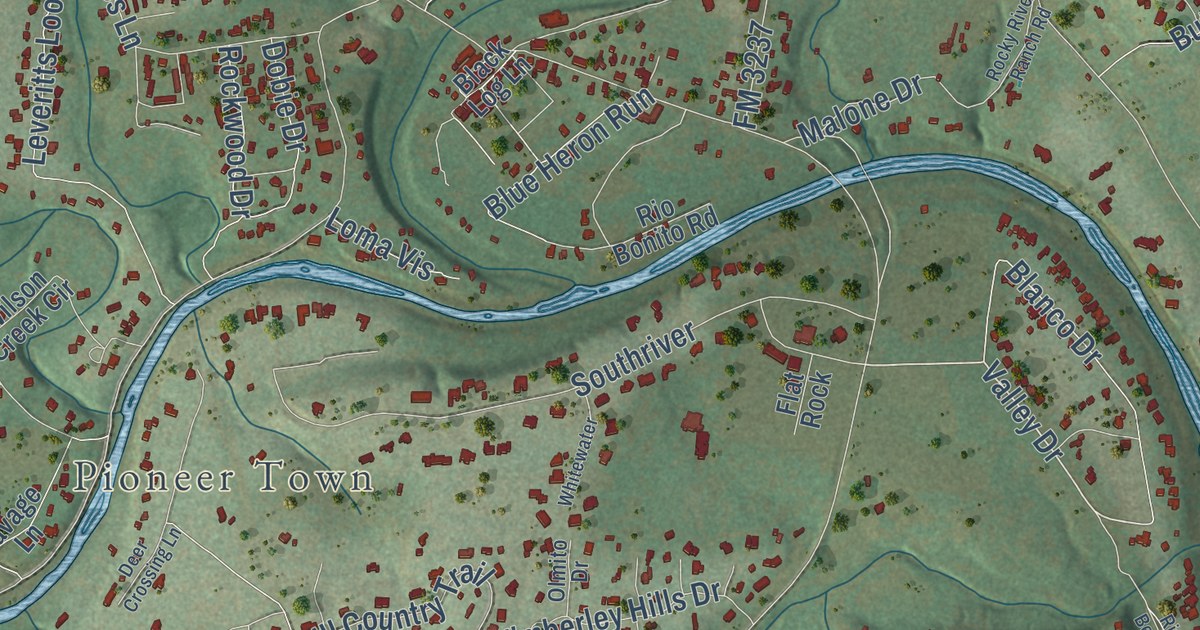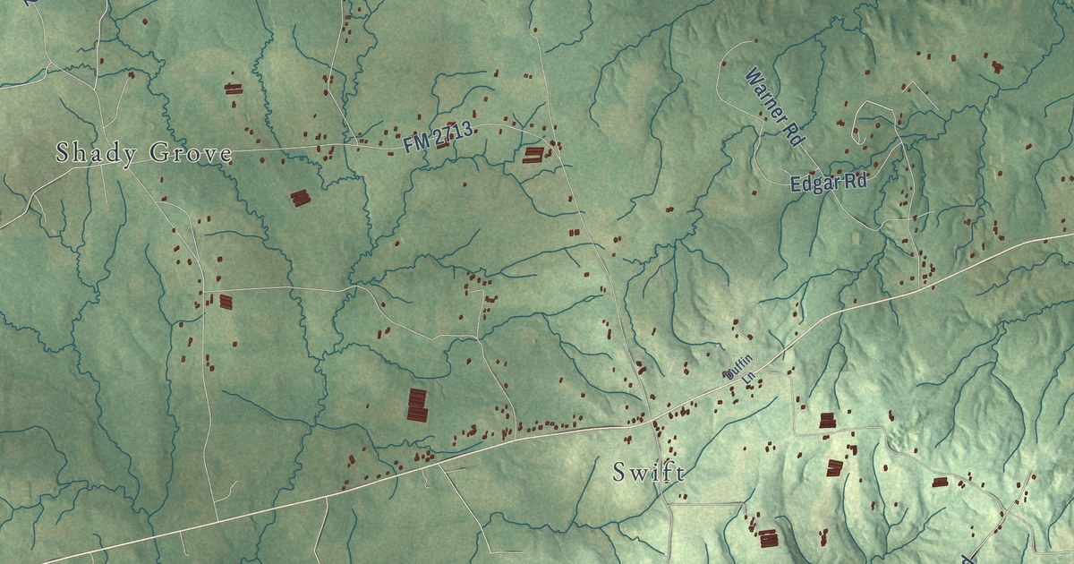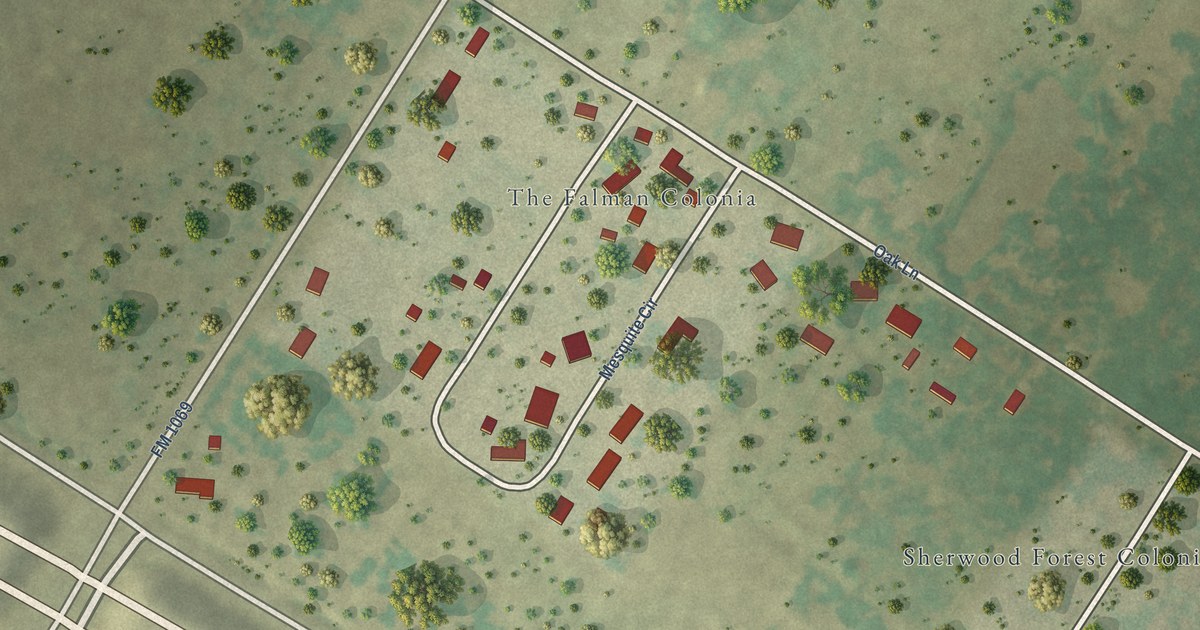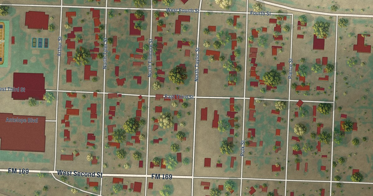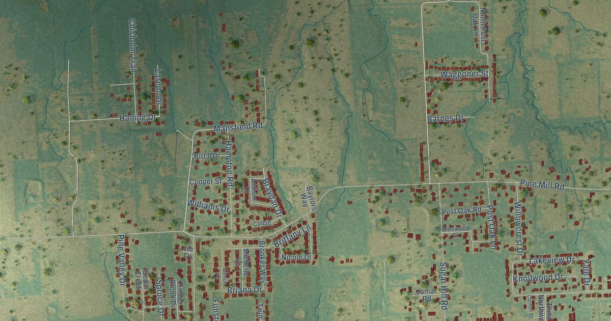
This beautifully detailed map of Reno, Lamar County, Texas was created in 2026 using aerial imagery combined with modern topographical, census, street and landmark data. It’s a one-of-a-kind view of Reno that combines accurate data with a vintage aesthetic. The map shows every building in its true location, many of the roads carry their names, and the shaded topographic relief shows the shape of the land.
Explore an aerial view of Reno, Lamar County, Texas
On the map you’ll find Lamar Road, Sugar Hill Road, Mount Olive Road, Briana Drive, Pine Mill Road, Old Clarksville Road, Smallwood Road, Mansfield Road, FM 1508, Airport Road, Lakeshore Drive, Key West Road, and more. If you look closely you can even find your house accurately drawn in its correct location. Zoom in on the preview to look for yours.
Did you know this piece of Reno, Lamar County, Texas history?
From the Handbook of Texas: "Highway 82 adjacent to Paris in Lamar County, may have been a switching station on the Texas and Pacific Railway, which was built through the area in 1876."
Looking for a different Reno? Texas also has Reno in Parker County.
Take a closer look at the Reno, Lamar County map
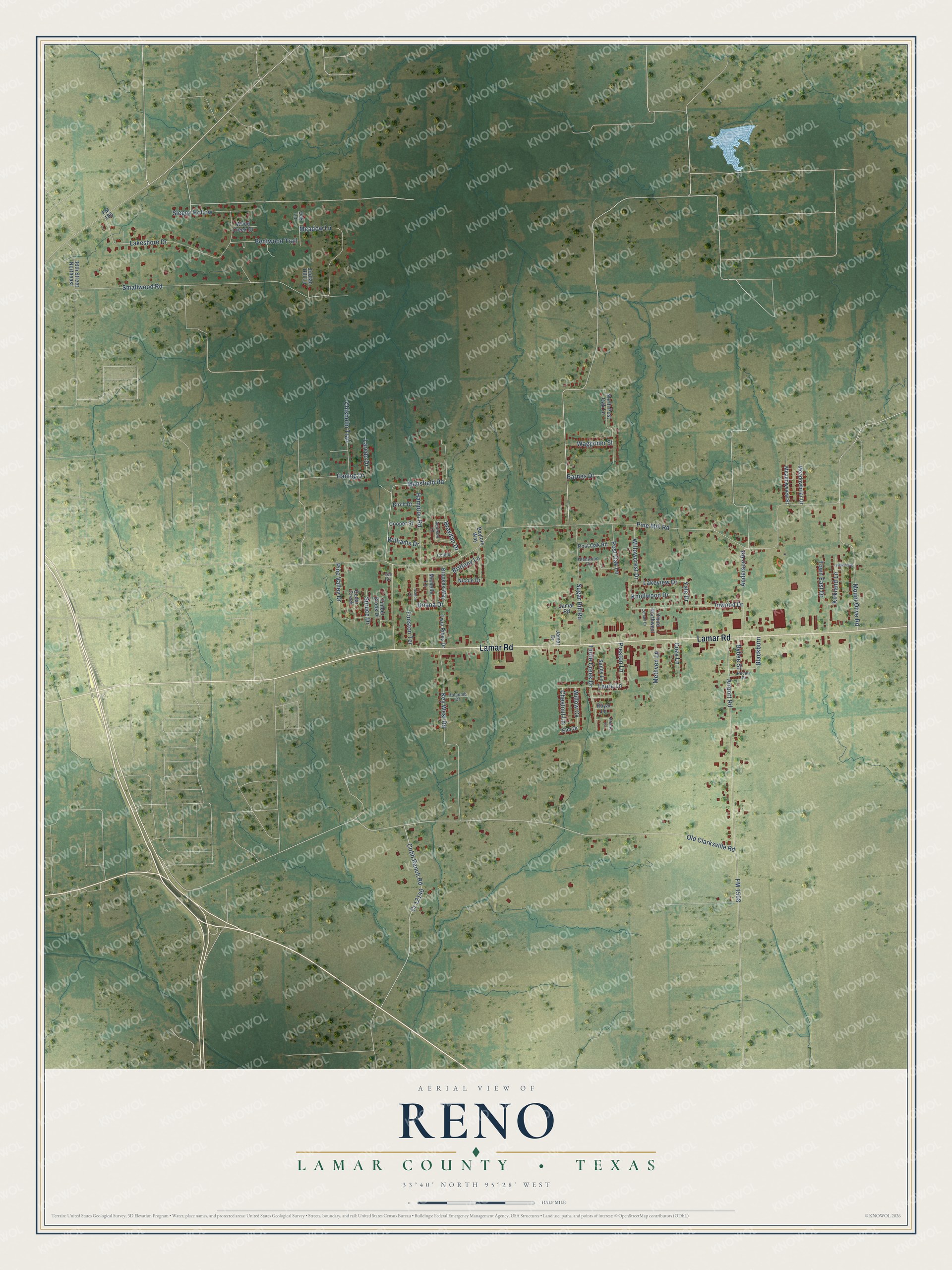
Street names on the Reno, Lamar County, Texas map
These names are printed on the map of Reno, Lamar County, Texas.
Streets and roads: Lamar Road, Sugar Hill Road, Mount Olive Road, Briana Drive, Pine Mill Road, Old Clarksville Road, Smallwood Road, Mansfield Road, FM 1508, Airport Road, Lakeshore Drive, Key West Road.
More street names, A to Z
36th Street Northeast, Addison Lane, Anderson Road, Ashton Lane, Barnes Drive, Baylors Way, Bentwood Trail, Birch Drive, Blackburn, Braydan Drive, Brittany Lane, Brooke Lane, Brookes Way, Bybee Street, Cedar Creek, Chestnut Lane, Chisholm Trail, Cobb Ranch Road, Colbie, Cooper Street, Cornell Drive, Cozy Lane, Cr 12140, Elm Drive, FM 195, Funston Terrace, Glenwood Drive, Hampton Road, Haning Drive, Holcomb Drive, Inwood Drive, Jamar Drive, Jamar Road, Jordan Hill Lane, Kirkland Lane, Knollwood Drive, Lakeview Drive, Laredo Drive, Laura Lane, Lee Circle, Meadowbriar Drive, Meadow Lane, Meadowview Street, Methven Lane, Michelle Lane, Nicole Drive, North Post Oak Lane, Oak Lane, Pecan Place, Pine Valley Drive, Post Oak Lane, Post Oak Road, Preston Lane, Royal Lane, Sandy Lane, Sleepy Hollow, Spruce Drive, Third Northwest, Timber Brook Drive, Town East Drive, Turtle Creek Drive, Twin Pines Drive, Vicksburg, Waggoner Street, Williams Drive, Willowcrest Drive, Willow Cv, Wood Creek Drive, Yale Drive.
See the Reno, Lamar County, Texas map on a wall
The Reno, Lamar County map as an 18 x 24 inch print in a black frame.

This beautifully detailed map of Reno, Lamar County makes an attractive addition to your office, library, or den, and it can even be used to teach children the geography and history of the area. It also makes a great gift for anyone who grew up in Reno or moved away. When you’re done exploring, click here to get your copy of the Reno, Lamar County map.