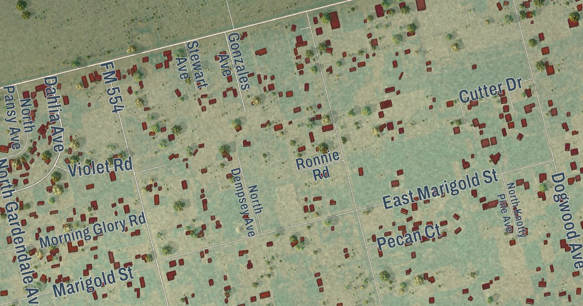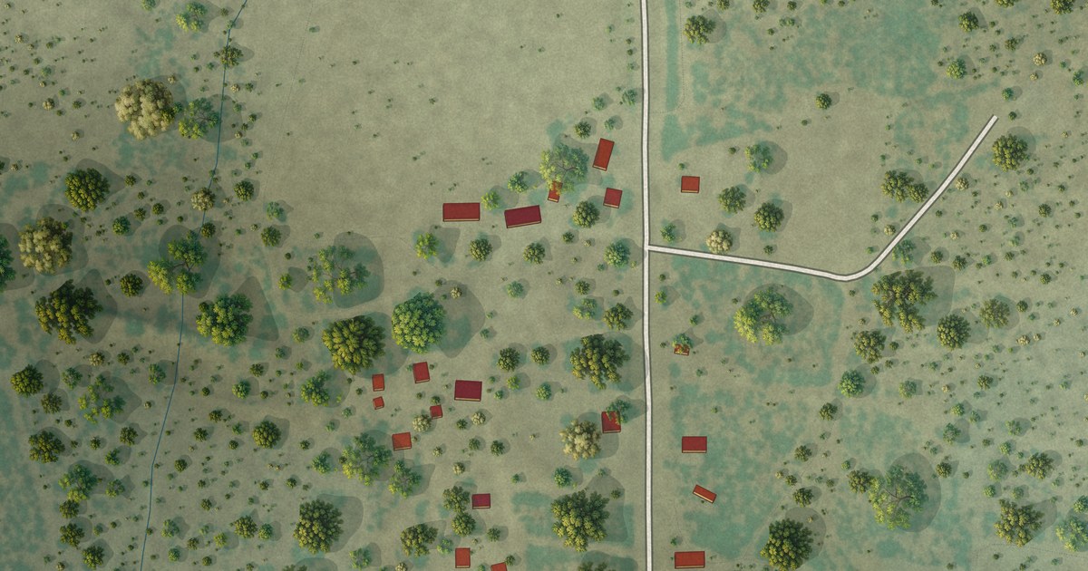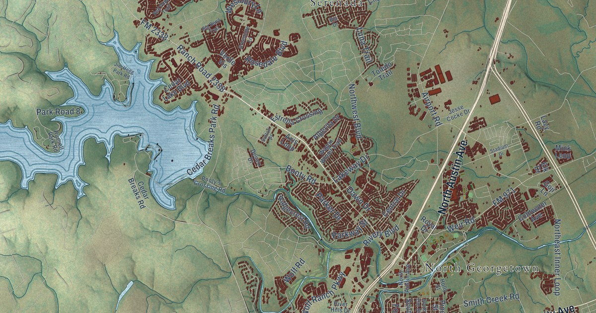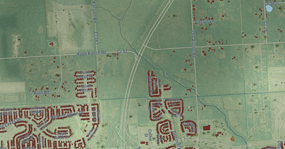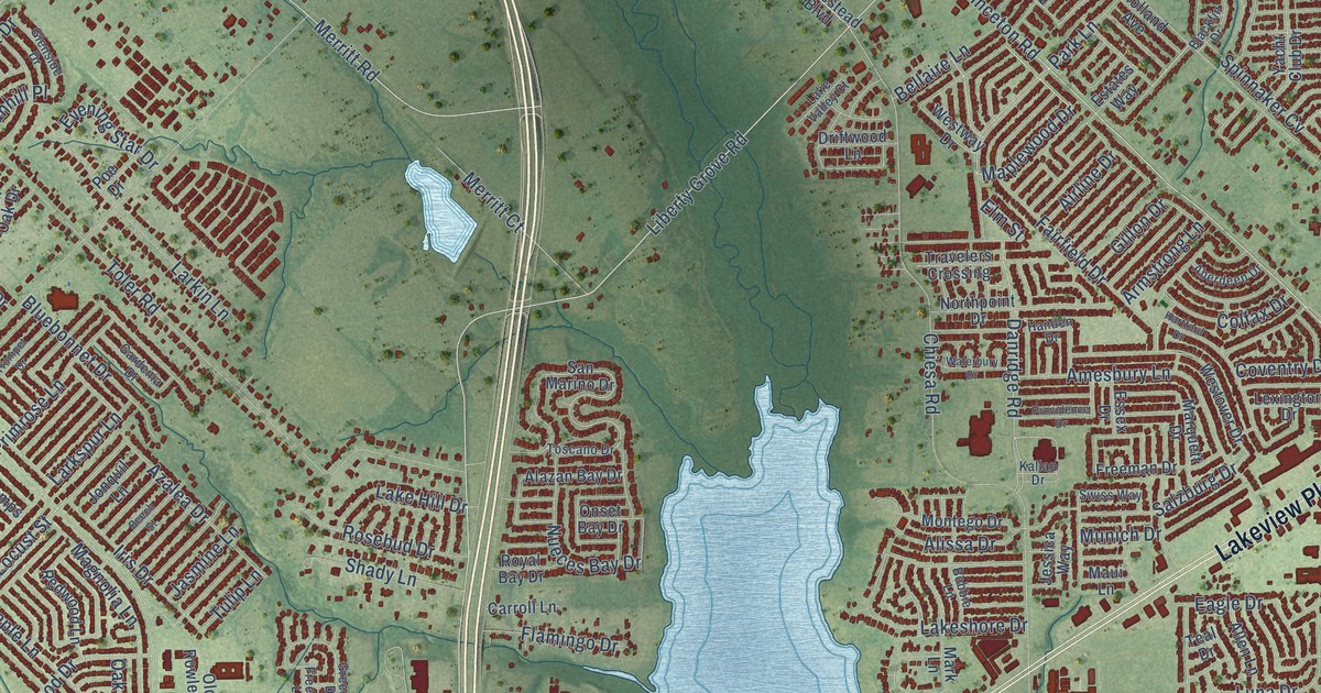
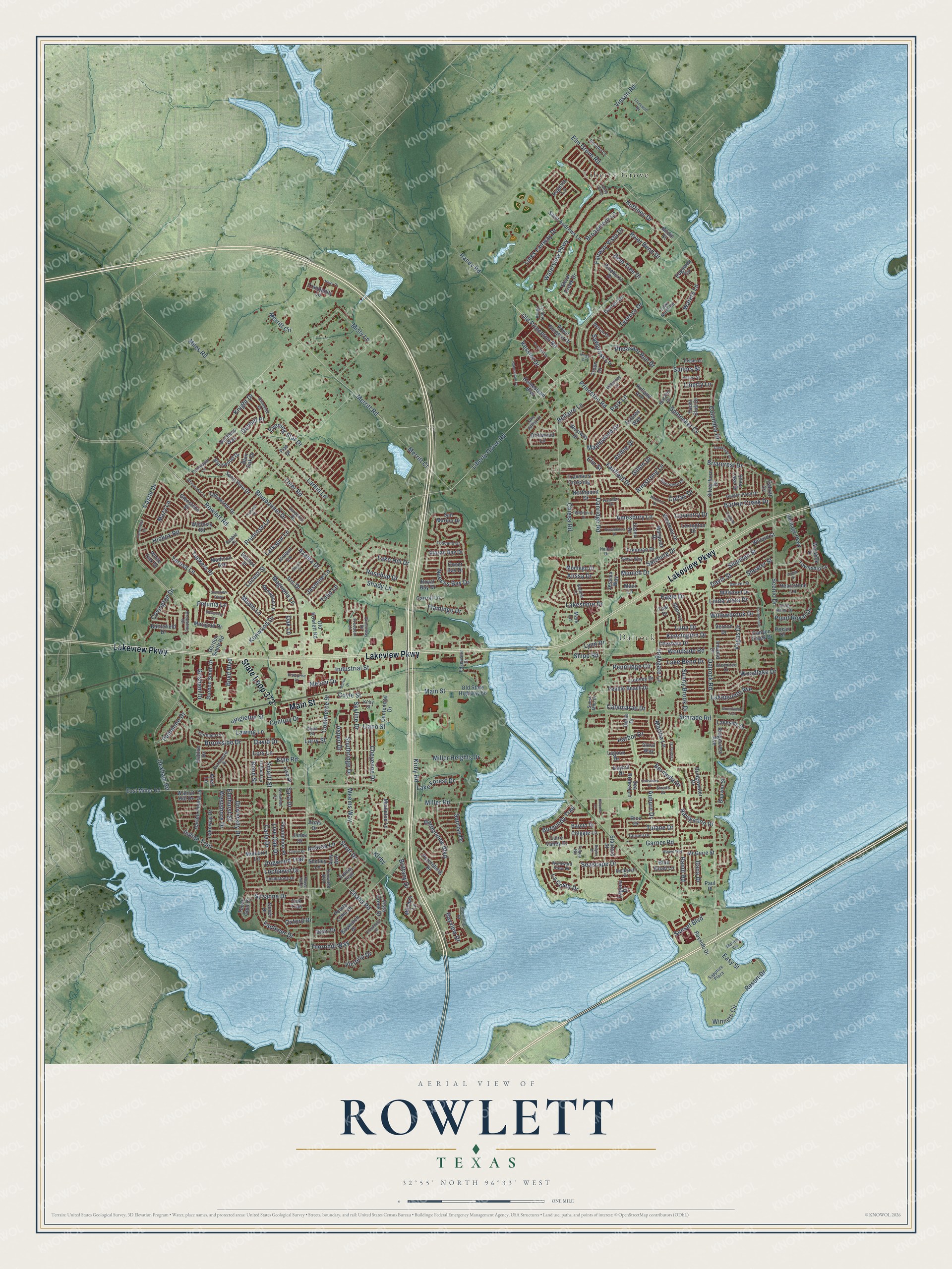
This beautifully detailed map of Rowlett, Texas was created in 2026 using aerial imagery combined with modern topographical, census, street and landmark data. It’s a one-of-a-kind view of Rowlett that combines accurate data with a vintage aesthetic. The map shows every building in its true location, many of the roads carry their names, and the shaded topographic relief shows the shape of the land.
Explore an aerial view of Rowlett, Texas
On the map you’ll find Dalrock and Liberty Grove, along with Main Street, Lakeview Parkway, State Loop 372, Liberty Grove Road, Miller Road, Princeton Road, Merritt Road, Kirby Road, Old Princeton Road, Coventry Drive, and more. If you look closely you can even find your house accurately drawn in its correct location. Zoom in on the preview to look for yours.
Did you know this piece of Rowlett, Texas history?
From the Handbook of Texas: "The Missouri, Kansas and Texas line was built through the area in 1886, and the Rowlett community received a post office in 1889."
Take a closer look at the Rowlett map
Street and place names on the Rowlett, Texas map
These names are printed on the map of Rowlett, Texas.
Places: Dalrock and Liberty Grove.
Streets and roads: Main Street, Lakeview Parkway, State Loop 372, Liberty Grove Road, Miller Road, Princeton Road, Merritt Road, Kirby Road, Old Princeton Road, Coventry Drive, Castle Drive, Waterview Parkway.
More street names, A to Z
Abell Lane, Aberdeen Drive, Airline Drive, Alazan Bay Drive, Alissa Drive, Allen Lane, Amesbury Lane, Amy Avenue, Andrea Lane, Arden Drive, Ardis Drive, Armstrong Lane, Ashe Bend Drive, Aspen Drive, Auburn Drive, Augusta Lane, Azalea Drive, Barolo Drive, Barton Creek Drive, Battlefield Drive, Bayhill Drive, Baylor Drive, Bayside Drive, Bayview Drive, Baywatch Drive, Beech Street, Bellaire Lane, Bent Tree Drive, Bermuda Drive, Birdie Court, Blackfin Drive, Blain Drive, Blair Oak Drive, Bluebonnet Drive, Blue Quail Lane, Bluewood Drive, Bobbie Lane, Bond Street, Bouvier Street, Boyd Boulevard, Briarcrest Drive, Bridgewater Drive, Brittany Drive, Broadmoor Lane, Brookline Drive, Brookside Drive, Brownlee Boulevard, Burgundy Trail, Cabott Cv, Canyon Creek Drive, Carla Drive, Carroll Lane, Catalina Street, Catamaran Drive, Centennial Drive, Century Drive, Chaha Road, Chalkstone Drive, Chapel Hill Drive, Chesham Drive, Cheyenne Drive, Chiesa Road, Chinkapin Lane, Coastway Drive, Colfax Drive, Colgate Lane, Columbia Drive, Commerce Street, Conestoga Drive, Conlin Drive, Coral Way, Cornell Drive, Cortland Circle, Covington Drive, Coyle Street, Creekbluff Drive, Creekside Drive, Crockett Drive, Dalrock Road, Dana Drive, Danridge Road, David Drive, Davis Street, Debbie Circle, Delia Street, Delta Drive, Denver Street, Dexham Road, Dogwood Trail, Dorchester Drive, Dorothy Lane, Dover Drive, Driftwood Lane, Duchess Way, Dunhill Place, Eagle Drive, East Miller Road, Easy Street, Edgewater Drive, Edgeway Circle, Elm Grove Road, Elmhurst Street, Elm Street, Enterprise Drive, Essex Drive, Estates Way, Evening Star Drive, Fairfield Drive, Fairmont Drive, Fairway Vista Drive, Faulkner Drive, Flamingo Drive, Freedom Lane, Freeman Drive, Fuqua Road, Gardenia Drive, Garner Road, Garrett Drive, Gillon Drive, Glenside Drive, Glenstone Street, Golden Pond Drive, Gordon Smith Drive, Gordon Smith Road, Graham Drive, Greentree Drive, Greenway Drive, Greenwood Trail, Grisham Drive, Habersham Drive, Halifax Drive, Handen Drive, Harbor Drive, Harbor Pointe Drive, Harborview Boulevard, Hartford Drive, Heartstone Lane, Heritage Parkway, Hickox Road, Highgate Lane, Hillcrest Drive, Holland Avenue, Homestead Boulevard, Huffines Drive, Indian Trail, Industrial Street, Inwood Drive, Iris Drive, Jasmine Lane, Jessica Way, Jones Drive, Jonquil Lane, Kallan Drive, Kensington Drive, Kenwood Drive, Kessler Drive, Killarney Lane, Kings Court, Kings Link Circle, Kirby, Kirby Street, Knight Drive, Kyle Road, La Costa Drive, Lagoon Drive, Laguna Drive, Lake Bend Drive, Lake Forest Drive, Lake Hill Drive, Lake North Road, Lakepointe Avenue, Lakeshore Drive, Lakeside Drive, Lake Valley Court, Lakeway Drive, Larkin Lane, Larkspur Lane, Larry Street, Lawing Lane, Lexington Drive, Liberty Lane, Linda Vista Drive, Lindsey Drive, Links Fairway Drive, Lisa Drive, Live Oak Drive, Llano Street, Lochaven Drive, Locust Street, Lofland Lane, Loire Valley Drive, Lois Lane, Luna Drive, Lynn Drive, Madison Avenue, Magnolia Lane, Maple Lane, Maplewood Drive, Marigold Drive, Marina Vis, Mark Lane, Marquett Drive, Martha Lane, Martin Drive, Maui Lane, Mazy Lane, McGuire Street, Melcer Drive, Merritt Circle, Merritt Court, Miles Road, Miller Heights Drive, Millwood Drive, Mistletoe Lane, Misty Lane, Mitchell Lane, Montego Drive, Mulberry Lane, Munich Drive, Navigation Drive, Nelson Drive, Northpoint Drive, Nueces Bay Drive, Oak Lane, Oak Trail, Old Rowlett Road, Old State Highway 66, Onset Bay Drive, Oxford Drive, Palomino Drive, Park Lane, Paul Place, Pebble Beach Drive, Pecan Drive, Pecan Lane, Pennridge Circle, Persimmon Place, Petersburg Drive, Petunia Lane, Pheasant Run Drive, Pinehurst Drive, Poe Drive, Pointe Loma Drive, Point Royal Drive, Primrose Lane, Providence Drive, Randi Road, Raney Road, Redwood Lane, Resort Drive, Rice Drive, Ridgecrest Avenue, River Bend Drive, Rockbluff Drive, Rosebud Drive, Rosemary Lane, Rowlett Road, Royal Bay Drive, Royal Burgess Drive, Sailors Street, Saint Andrews Lane, Salzburg Drive, Sand Pine Drive, San Marino Drive, Sapphire Plaza, Sara Drive, Sawgrass Lane, Scenic Drive, Schrade Road, Scott Drive, Sea Breeze Lane, Seascape Drive, Shady Lane, Shearer Street, Shelley Lane, Shipman Street, Shipp Road, Shoal Creek Drive, Shoreline Drive, Silver Lake Drive, Silverthorn Drive, Singleton Street, Skyline Drive, Smartt Street, Southridge Drive, Spinnaker Cv, Stamps Street, Stanford Street, Stonewall Road, Straits Drive, Sundown Parkway, Sunny Brook Drive, Sunrise Drive, Sunset Boulevard, Sunst Mhp Drive, Suzanne Drive, Swiss Way, Tallowtree Drive, Teal Drive, Terence Drive, Teresa Lane, Thornhill Way, Toler Road, Toscano Drive, Touch Gold Court, Township Lane, Tracey Trail, Tranquility Lane, Travelers Crossing, Troon Drive, Trumpet Drive, Tuckers Place, Tulane Drive, Tulip Lane, Turrey Pines, Unity Drive, University Drive, Vagas Drive, Vernon Drive, Victoria Drive, Victory Street, Vinson Road, Vista Creek Drive, Walnut Hill Drive, Warwick Drive, Waterbury Drive, Waters Lane, Wayne Way, Weems Way, Wellesly Road, Westover Drive, Westshore Drive, Westway Drive, Westwood Circle, Whitecedar Lane, White Oak Drive, Willard Street, Willowbrook Drive, Windward View Drive, Winners Circle, Woodlake Drive, Woodside Road, Yacht Club Drive.
See the Rowlett, Texas map on a wall
The Rowlett map as an 18 x 24 inch print in a black frame.

This beautifully detailed map of Rowlett makes an attractive addition to your office, library, or den, and it can even be used to teach children the geography and history of the area. It also makes a great gift for anyone with Rowlett roots. When you’re done exploring, click here to get your copy of the Rowlett map.