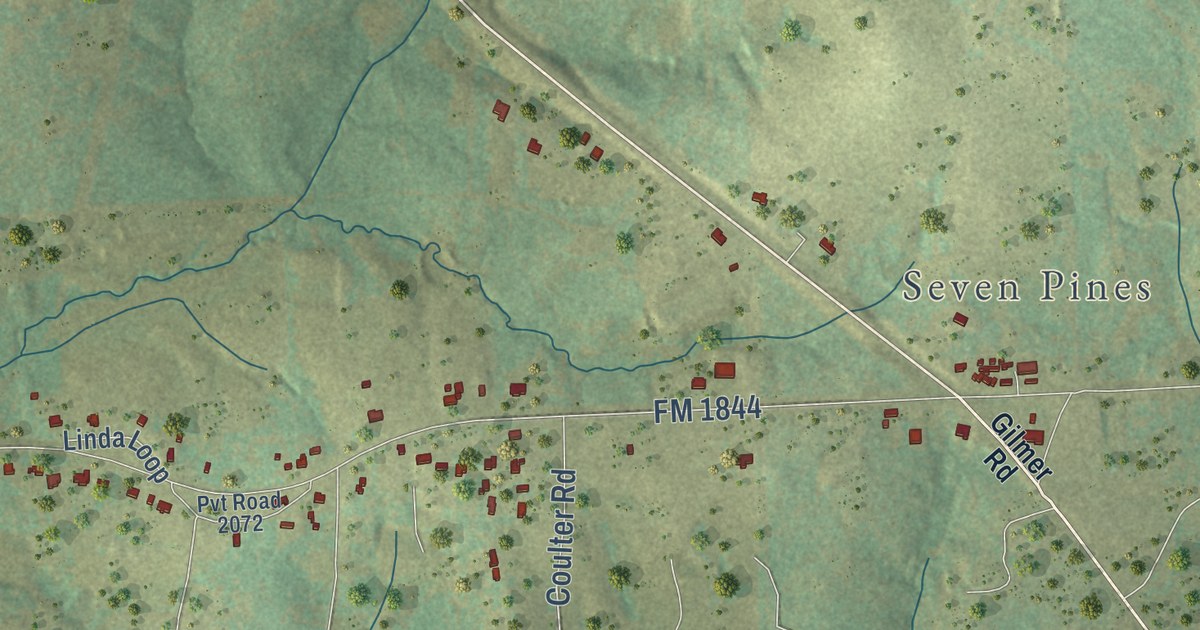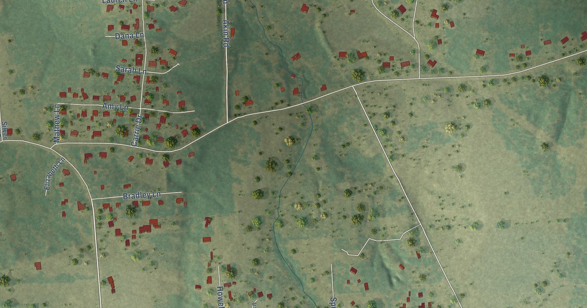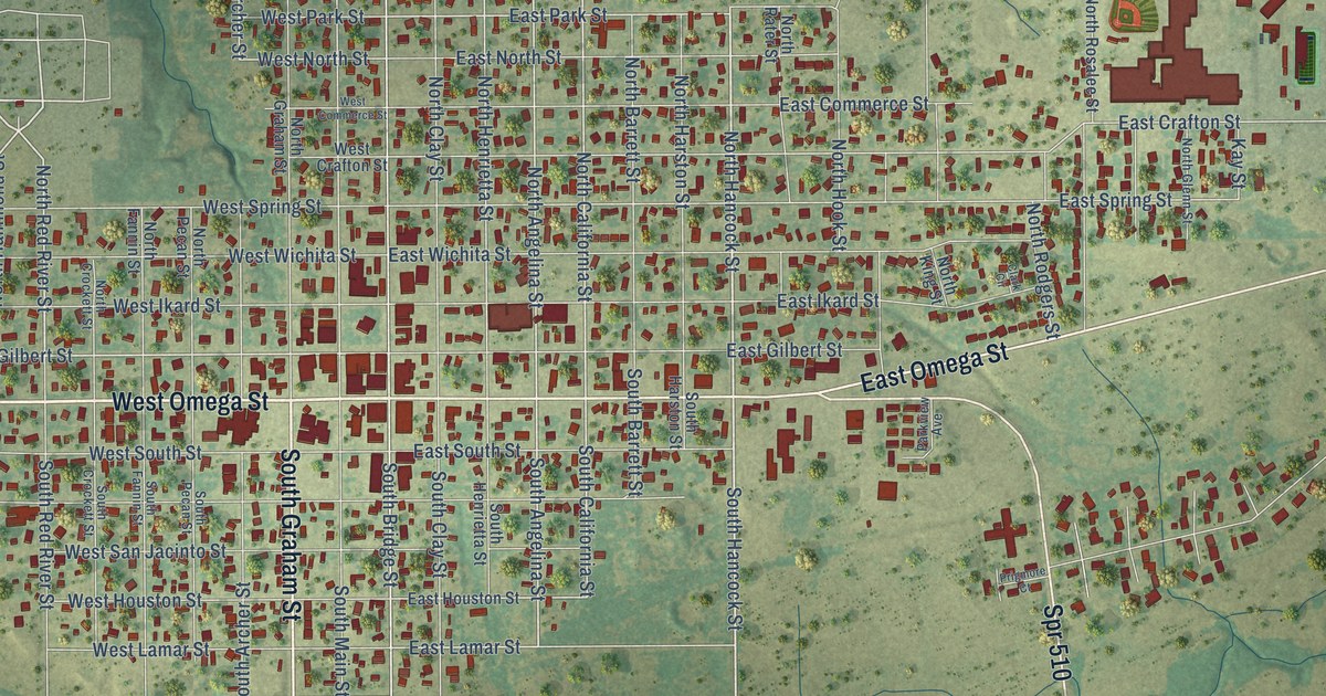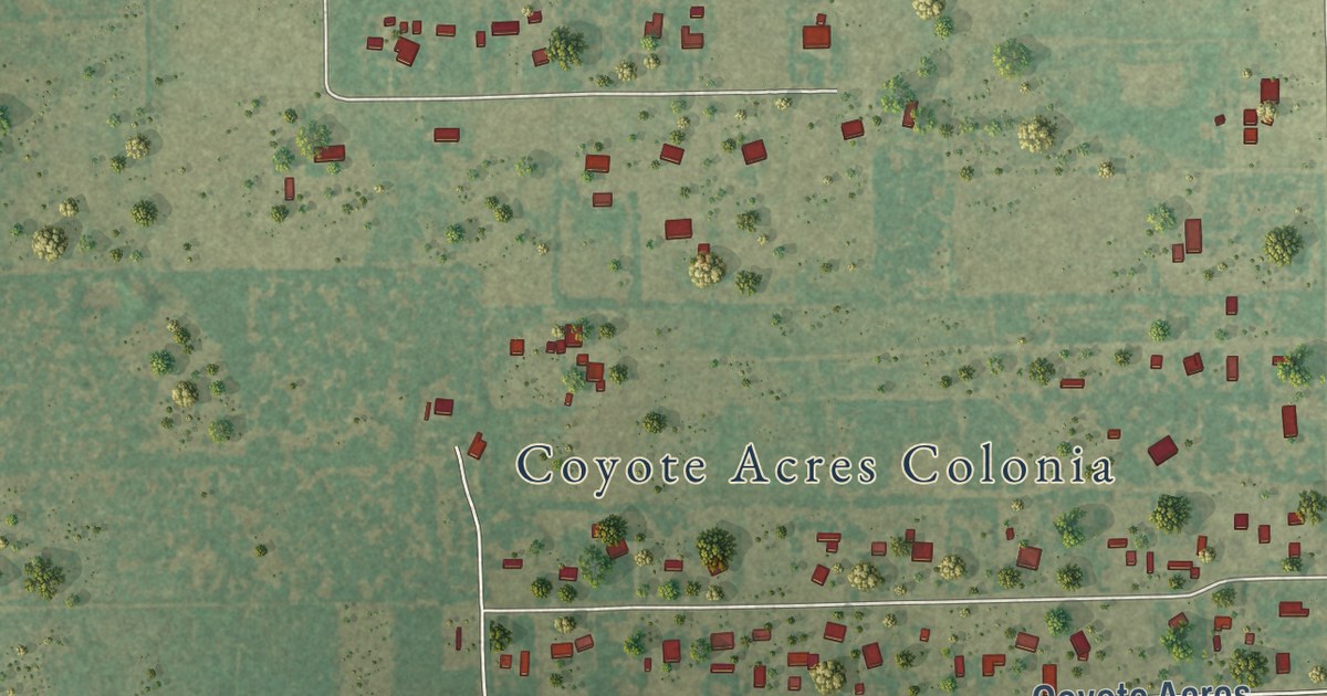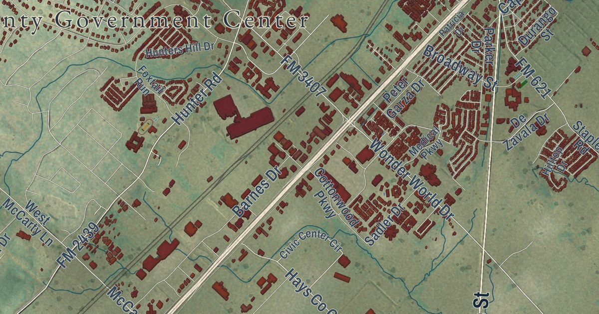
This beautifully detailed map of San Marcos, Texas was created in 2026 using aerial imagery combined with modern topographical, census, street and landmark data. It’s a one-of-a-kind view of San Marcos that combines accurate data with a vintage aesthetic. The map shows every building in its true location, many of the roads carry their names, and the shaded topographic relief shows the shape of the land.
Explore an aerial view of San Marcos, Texas
On the map you’ll find Hays County Government Center, Centex, and Ranch Road 12, along with East Hopkins Street, FM 12, Guadalupe Street, North State Highway 123, State Loop 82, FM 2439, Hunter Road, Yarrington Road, Post Road, and more. If you look closely you can even find your house accurately drawn in its correct location. Zoom in on the preview to look for yours.
Did you know this piece of San Marcos, Texas history?
From the Handbook of Texas: "The chartering in 1899 and subsequent opening in 1903 of Southwest Texas State Normal School and of the San Marcos Baptist Academy in 1907 established education as an important local industry."
Take a closer look at the San Marcos map
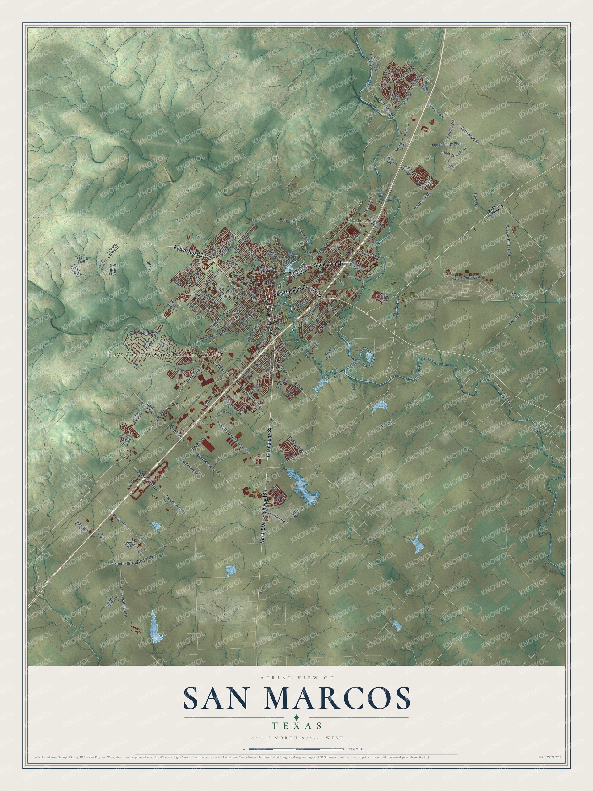
Street and place names on the San Marcos, Texas map
These names are printed on the map of San Marcos, Texas.
Places: Hays County Government Center and Centex.
Streets and roads: East Hopkins Street, Guadalupe Street, North State Highway 123, State Loop 82, Ranch Road 12, FM 12, Yarrington Road, Hopkins Street, Cr 101, Hunter Road, FM 2439, Post Road.
More street names, A to Z
Academy Oaks Drive, Academy Street, Adler Way, Airport Highway 21, Alamo Street, Alta Vista Street, Animal Shelter Road, Aquarena Springs Drive, Avoca Ranch Road, Bandera Street, Barbara Drive, Barnes Drive, Belvin Street, Bert Brown Street, Blanco Hall, Blanco Vista Boulevard, Briggs Lane, Broadway Street, Bugg Lane, Camaro Way, Cape Street, Carlon Circle, Centerpoint Road, Center Point Road, Cheatham Street, Chestnut Street, Civic Center Circle, Clyde Street, Comal Street, Conway Drive, Copper Sage Drive, Cottonwood Parkway, Cow Trail, Cr 266, Craddock Avenue, Dancing Oak Lane, Davis Lane, De Zavala Drive, Durango Street, East McCarty Lane, Easton Drive, Elm Hill Court, Elm Street, Emerald Garden Road, Esplande Parkway, Flying Orchid Drive, FM 110, FM 621, FM 1984, FM 3407, Fortuna Road, Fountain Grass Drive, Foxtail Run, Frances Harris Lane, Franklin Drive, Furman Avenue, Gil Drive, Golden Grove Parkway, Grant Harris Road, Gravel Street, Gray Wolf Drive, Gregsons Bend, Harris Hill Road, Hay Barn, Hays Co Civic Center Road, Hays County 136, Hays County 140, Hilltop Drive, Hofheinz Street, Hughson Drive, Hunters Hill Drive, Industrial Fork, Irvin Drive, Jacob Lane, Kane Avenue West, Knox Street, Lancaster Street, Laurel Ridge, Leah Avenue, Lime Kiln Road, Linda Drive, Lindsey Street, Lisa Lane, Marlton Street, McCarty Lane, McKie Street, Meadow View Drive, Medical Parkway, Miller Trail, Mill Street, Moon Street, Mountain Drive, Nash Lane, North Bishop Street, North Comanche Street, North Loop Street, North Street, Opportunity Boulevard, Parker Drive, Patricia Drive, Patton Street, Pecan Street, Perkins Street, Peter Garza Drive, Posey Road, Premier Parkway, Prospect Street, Quail Creek Drive, Rattler Road, Redwood Road, River Ridge Parkway, River Road, Riverwalk Loop, Riverway Avenue, RM 12, Rush Haven, Saddle Run Way, Sadler Drive, Schulle Drive, Silo Street, Smith Lane, Snyder Hill Drive, South Guadalupe Street, South Old Bastrop Highway, South Old Stagecoach Road, Split Rail Drive, Staples Road, Summit Ridge Drive, Susurro Parkway, Tallow Trail, Tate Trail, Teakmill Trail, Telluride Street, Teron Drive, Thorpe Lane, Uhland Road, Valencia Way, Van Horn Trce, West Martin Luther King Drive, West McCarty Lane, West Sessom Drive, West Sierra Circle, Wild Plum, William Pettus Road, Willow Arbor, Wilshire Road, Windermere Road, Wonder World Drive, Woods Street.
See the San Marcos, Texas map on a wall
The San Marcos map as an 18 x 24 inch print in a black frame.

This beautifully detailed map of San Marcos makes an attractive addition to your office, library, or den, and it can even be used to teach children the geography and history of the area. It also makes a great gift for anyone with San Marcos roots. When you’re done exploring, click here to get your copy of the San Marcos map.