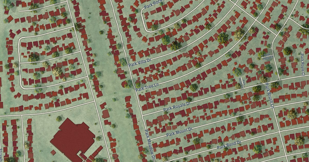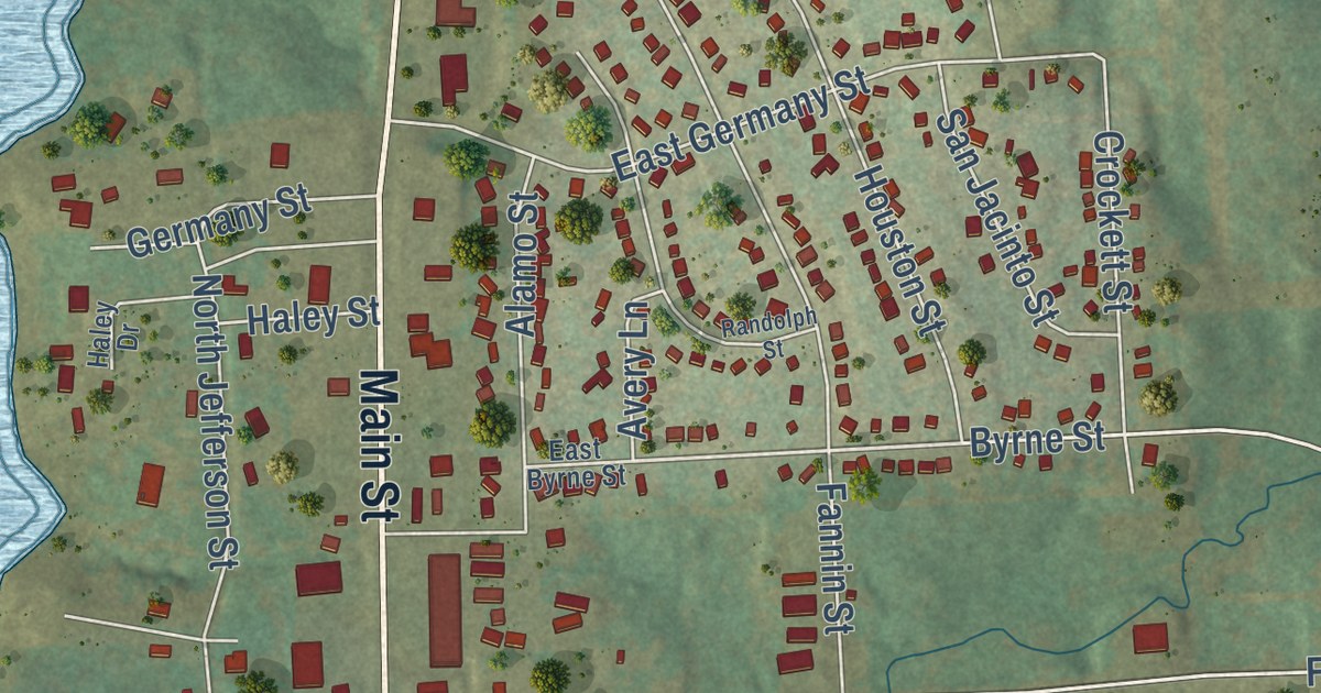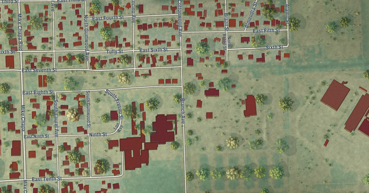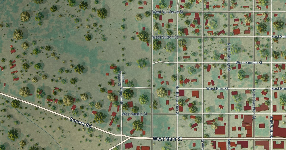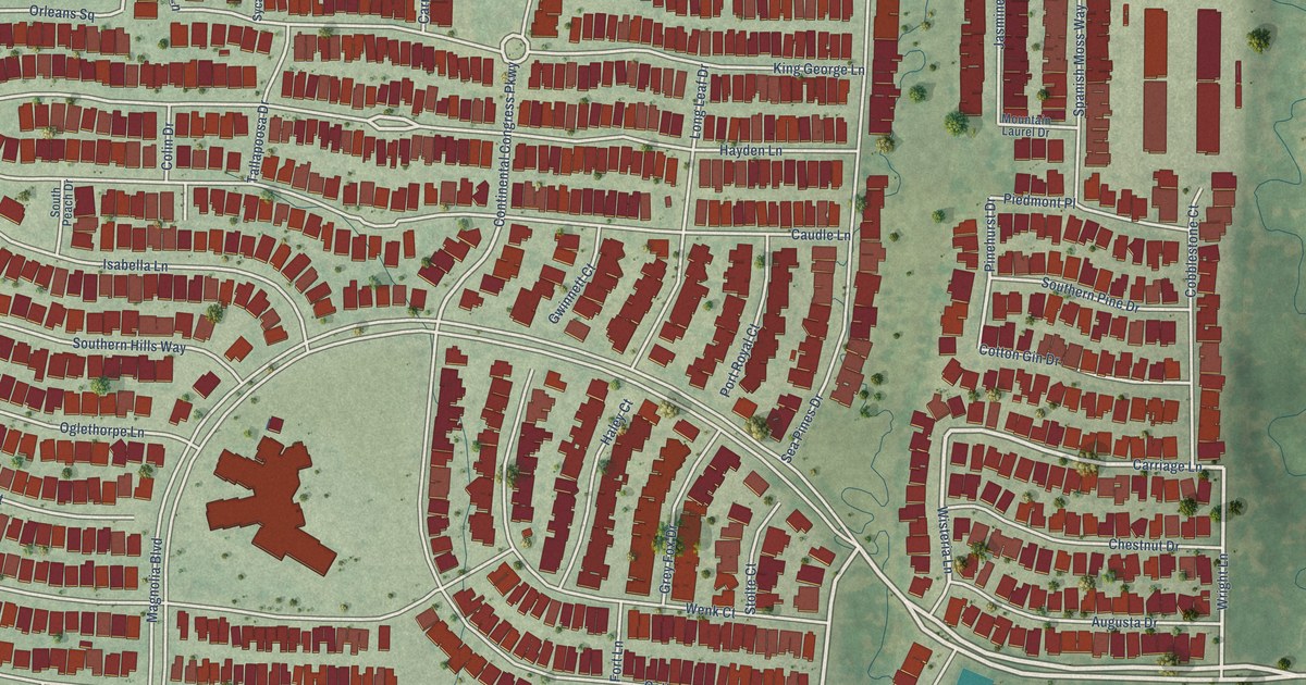
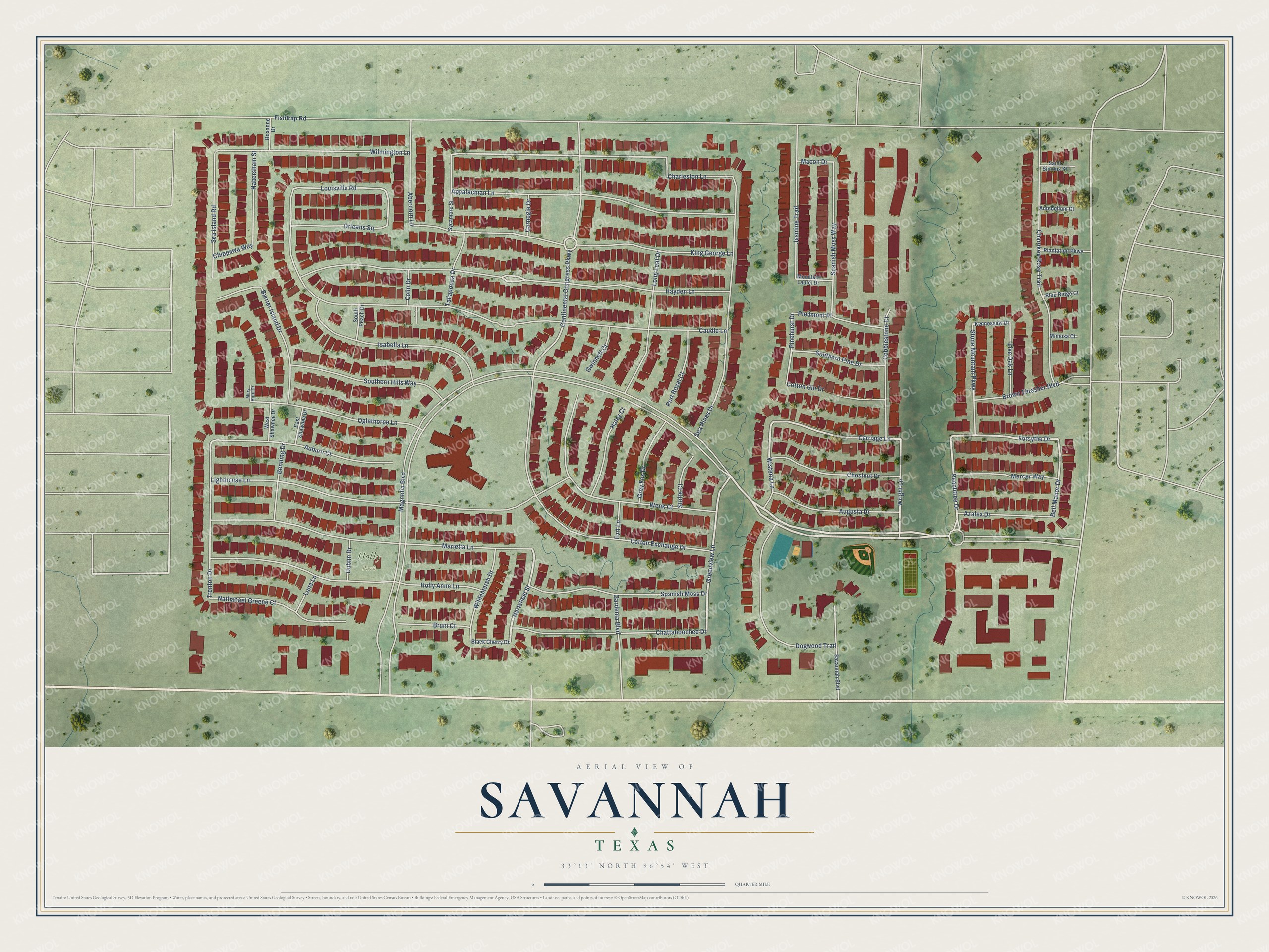
This beautifully detailed map of Savannah, Texas was created in 2026 using aerial imagery combined with modern topographical, census, street and landmark data. It’s a one-of-a-kind view of Savannah that combines accurate data with a vintage aesthetic. The map shows every building in its true location, many of the roads carry their names, and the shaded topographic relief shows the shape of the land.
Explore an aerial view of Savannah, Texas
On the map you’ll find Holly Park, along with Magnolia Boulevard, Hartsfield Street, Peachtree Drive, Wisteria Lane, Greenview Lane, Carriage Lane, Forsythe Drive, Wright Lane, Bell Manor Drive, Continental Congress Parkway, Hayden Lane, and more. If you look closely you can even find your house accurately drawn in its correct location. Zoom in on the preview to look for yours.
Take a closer look at the Savannah map
Street and place names on the Savannah, Texas map
These names are printed on the map of Savannah, Texas.
Places: Holly Park.
Streets and roads: Magnolia Boulevard, Hartsfield Street, Peachtree Drive, Wisteria Lane, Greenview Lane, Carriage Lane, Forsythe Drive, Wright Lane, Bell Manor Drive, Continental Congress Parkway, Hayden Lane, Charleston Lane.
More street names, A to Z
Abercorn Lane, Antebellum Court, Appalachian Lane, Auburn Court, Augusta Drive, Azalea Drive, Barrier Island Drive, Benning Drive, Black Cherry Drive, Blue Ridge Court, Brown Thrasher Boulevard, Bruni Court, Carnegie Drive, Caudle Lane, Chattahoochee Drive, Cherokee Rose Trail, Chestnut Drive, Chippewa Way, Cobblestone Court, Colin Drive, Cotton Exchange Drive, Cotton Gin Drive, Dogwood Trail, Dublin Drive, East Shawnee Drive, Fishtrap Road, Fort Lane, Gardenia Boulevard, Grey Fox Drive, Gwinnett Court, Habersham Street, Haley Court, Holly Anne Lane, Isabella Lane, Jasmine Trail, Kennessaw Drive, King George Lane, Lighthouse Lane, Live Oak Lane, Long Leaf Drive, Louisville Road, Luna Lane, Macon Drive, Marietta Lane, Mary Horn Drive, Mercer Way, Mimosa Court, Mountain Laurel Drive, Nathanael Greene Court, Oglethorpe Lane, Orleans Square, Piedmont Place, Pinehurst Drive, Plantation Parkway, Port Royal Court, Roxanne Drive, Saint Simons Street, Savannah Boulevard, Sea Island Road, Sea Pines Drive, Southern Hills Way, Southern Pine Drive, South Peach Drive, Spanish Moss Drive, Spanish Moss Way, Stolte Court, Stone Mountain Parkway, Sycamore Street, Tallapoosa Drive, Trenton Drive, Wenk Court, West Shawnee Drive, Whitemarsh Drive, Wilmington Lane.
See the Savannah, Texas map on a wall
The Savannah map as an 18 x 24 inch print in a black frame.

This beautifully detailed map of Savannah makes an attractive addition to your office, library, or den, and it can even be used to teach children the geography and history of the area. It also makes a great gift for anyone with Savannah roots. When you’re done exploring, click here to get your copy of the Savannah map.