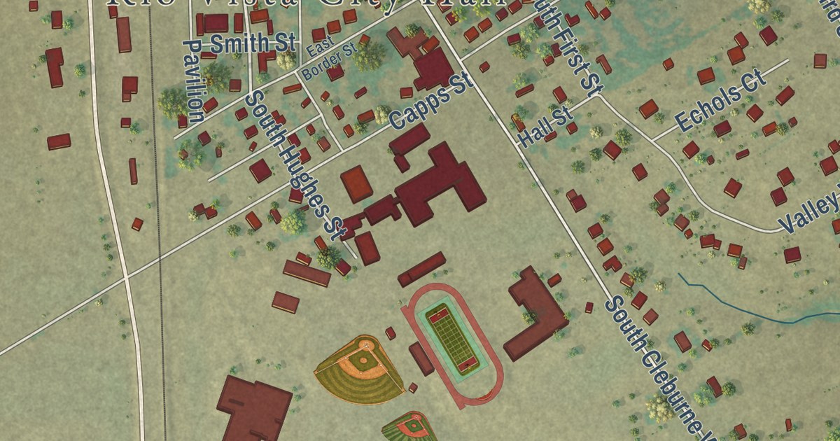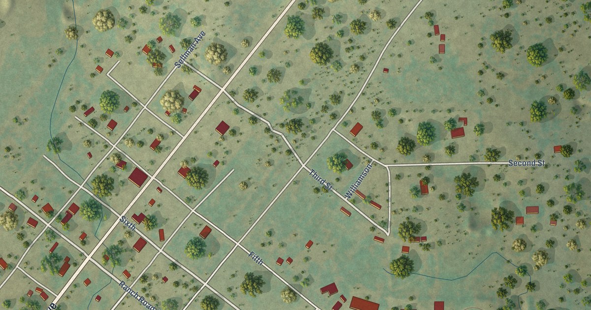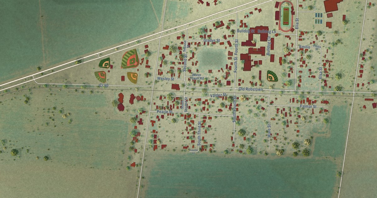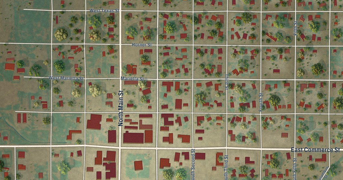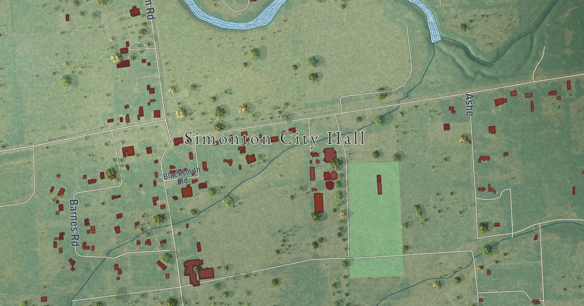
This beautifully detailed map of Simonton, Texas was created in 2026 using aerial imagery combined with modern topographical, census, street and landmark data. It’s a one-of-a-kind view of Simonton that combines accurate data with a vintage aesthetic. The map shows every building in its true location, many of the roads carry their names, and the shaded topographic relief shows the shape of the land.
Explore an aerial view of Simonton, Texas
On the map you’ll find Simonton City Hall, along with Wagon Road, Cheyenne Road, Pony Lane, Hackamore Road, Bronco Road, Cowhide Drive, FM 1093, FM 1093 Road, FM 1489, Nails Road, Longhorn Road, and more. If you look closely you can even find your house accurately drawn in its correct location. Zoom in on the preview to look for yours.
Did you know this piece of Simonton, Texas history?
In 1906 Dave Mullins came from Kansas and planted 150 acres of potatoes at Simonton. He and J.R. Spencer later grew 1000 acres of red potatoes. In the best years, 800 railroad cars of potatoes left Simonton for cities like Chicago. The area became one of the nation’s major red potato producers.
Take a closer look at the Simonton map
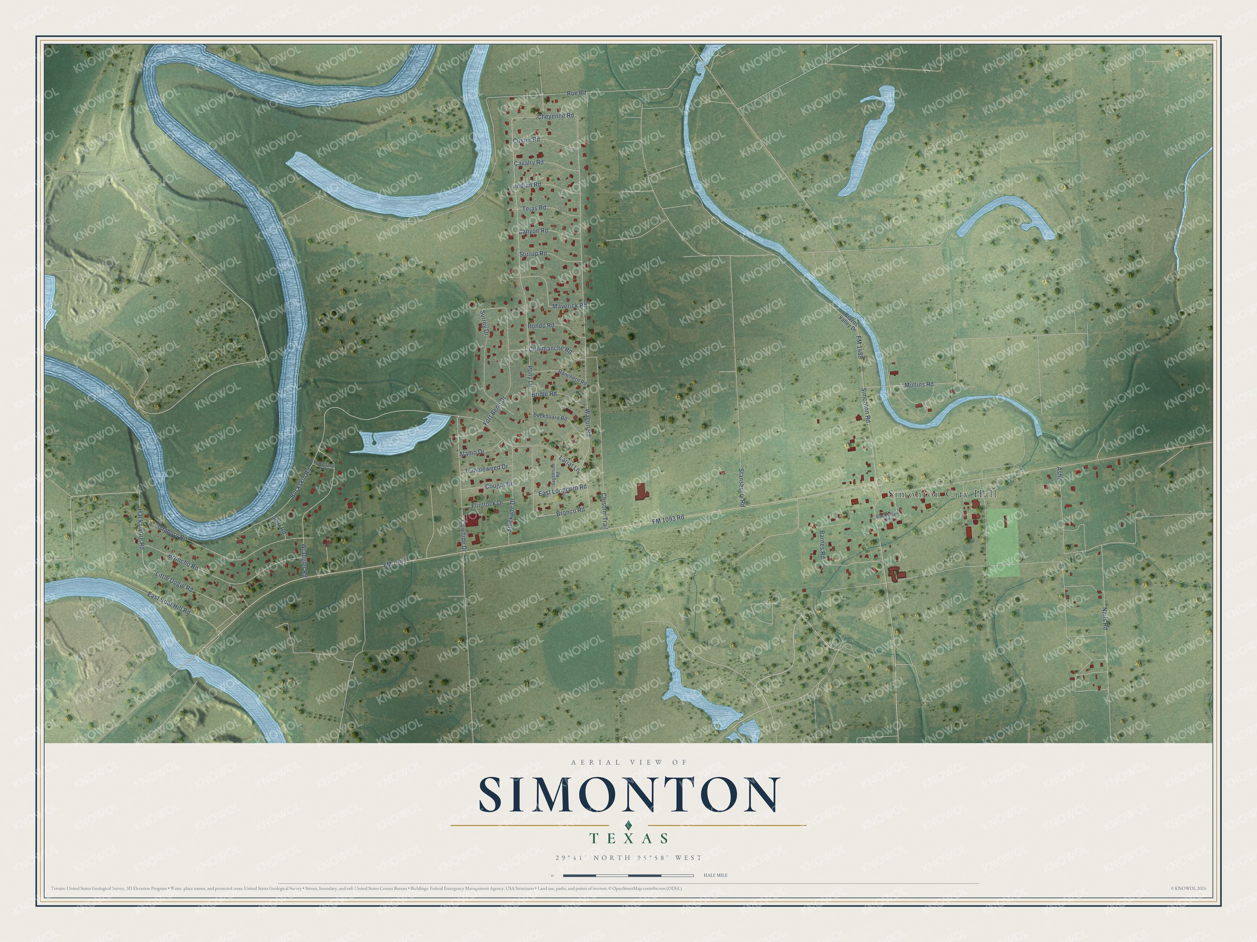
Street and place names on the Simonton, Texas map
These names are printed on the map of Simonton, Texas.
Places: Simonton City Hall.
Streets and roads: Wagon Road, Cheyenne Road, Pony Lane, Hackamore Road, Bronco Road, Cowhide Drive, FM 1093, FM 1093 Road, FM 1489, Nails Road, Longhorn Road, Chisolm Trail.
More street names, A to Z
Alamo Drive, Ashe, Barnes Road, Blacksmith Road, Brazos Valley Drive, Bridle Road, Broncho Road, Buckboard Road, Buckskin Road, Canyon Road, Cavalry Road, Commanche Road, Cougar Drive, Custer Road, East Boot Hill Road, East Longhorn Road, Flintlock Drive, Fort Bend Drive, Hondo Road, Horseshoe Road, Indian Road, Lariat Lane, Little Dogie Road, Maverick Road, Mullins Road, Ranchero Road, Rue Road, Sagebrush Road, Simonton Road, Spur Road, Stansberry Road, Stirrup Road, Stockade Drive, Surrey Drive, Tejas Road, Tumbleweed Drive, Wrangler Road.
See the Simonton, Texas map on a wall
The Simonton map as an 18 x 24 inch print in a black frame.

This beautifully detailed map of Simonton makes an attractive addition to your office, library, or den, and it can even be used to teach children the geography and history of the area. It also makes a great gift for anyone with Simonton roots. When you’re done exploring, click here to get your copy of the Simonton map.