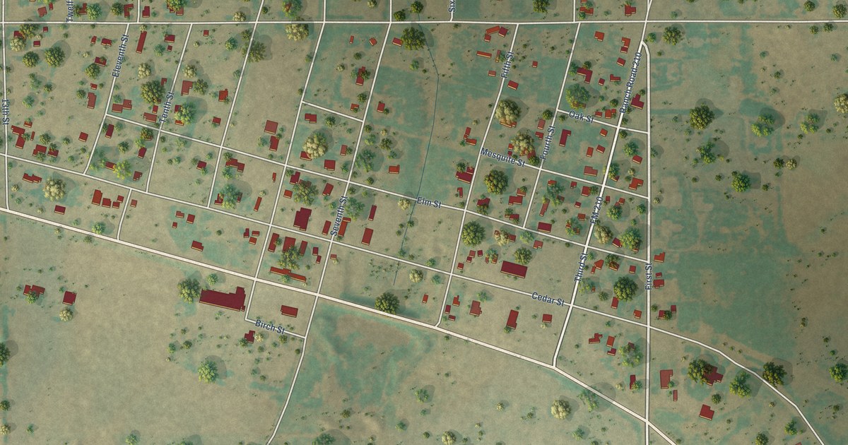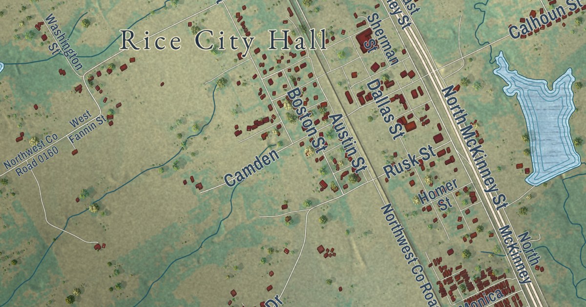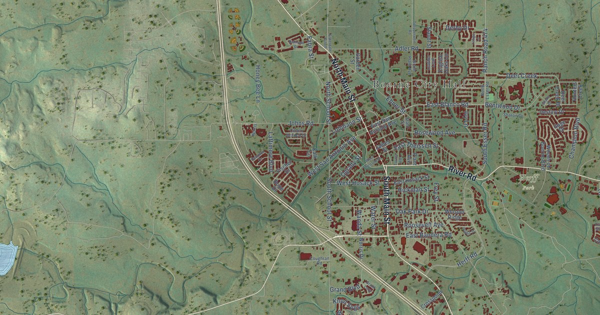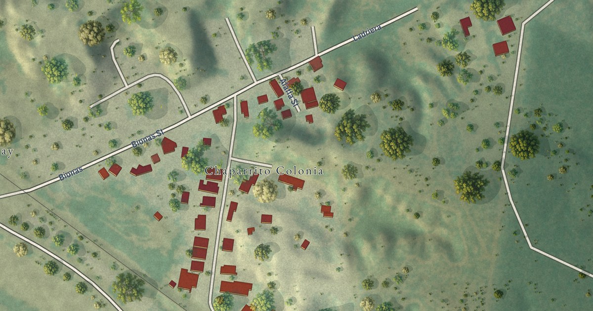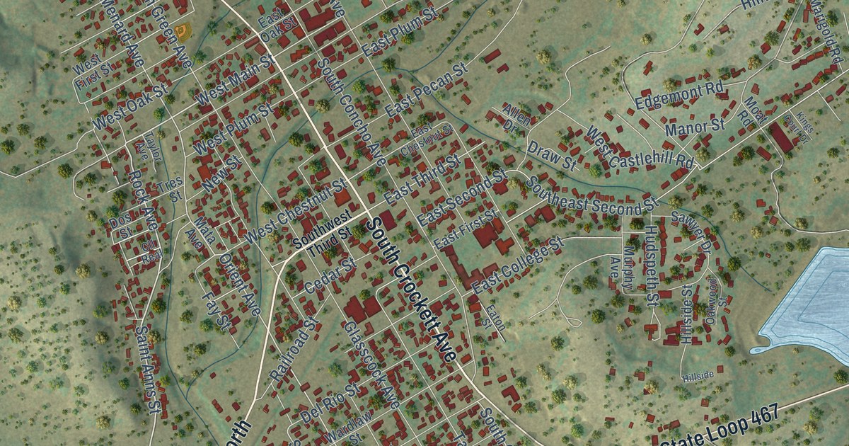
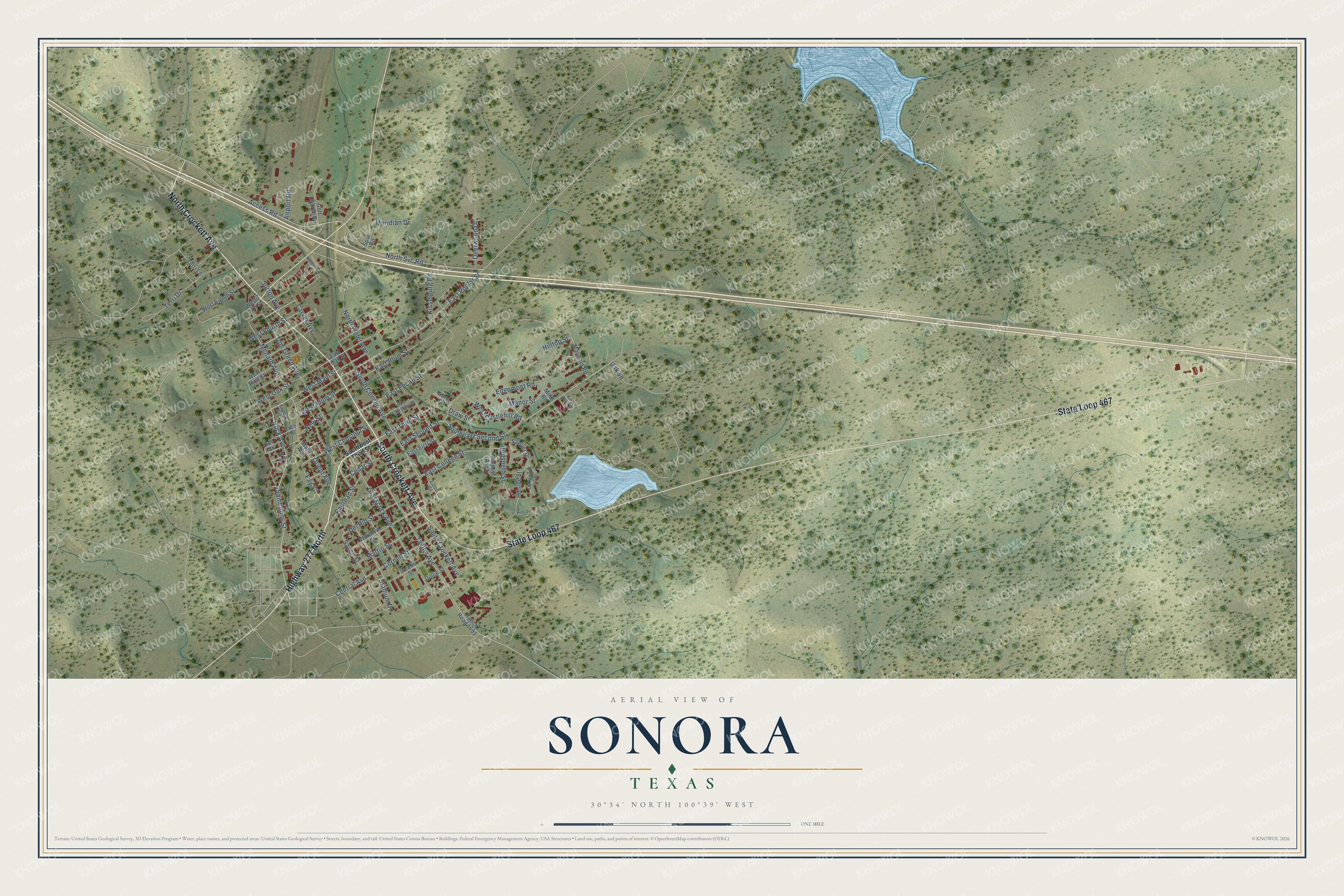
This beautifully detailed map of Sonora, Texas was created in 2026 using aerial imagery combined with modern topographical, census, street and landmark data. It’s a one-of-a-kind view of Sonora that combines accurate data with a vintage aesthetic. The map shows every building in its true location, many of the roads carry their names, and the shaded topographic relief shows the shape of the land.
Explore an aerial view of Sonora, Texas
On the map you’ll find South Crockett Avenue, Highway 277 North, North Crockett Avenue, State Loop 467, Saint Anns Street, Rock Avenue, West Main Street, Central Avenue, Orient Avenue, Menard Avenue, Savell Street, Stadium Drive, and more. If you look closely you can even find your house accurately drawn in its correct location. Zoom in on the preview to look for yours.
Did you know this piece of Sonora, Texas history?
Rancher and merchant Charles Adams founded Sonora and named it in 1887 for a family servant from Sonora, Mexico. He drilled a well, secured a post office, and offered free town lots. That’s from the Handbook of Texas.
Take a closer look at the Sonora map
Street names on the Sonora, Texas map
These names are printed on the map of Sonora, Texas.
Streets and roads: South Crockett Avenue, Highway 277 North, North Crockett Avenue, State Loop 467, Saint Anns Street, Rock Avenue, West Main Street, Central Avenue, Orient Avenue, Menard Avenue, Savell Street, Stadium Drive.
More street names, A to Z
Access Road, Airport Road, Allen Drive, Annette Street, Carver Avenue, Cedar Street, Cll Real, Cornell Street, Deerwood Drive, Del Rio Street, Dollie Street, Dos Street, Draw Street, East Chestnut Street, East College Street, East First Street, East Oak Street, East Pecan Street, East Plum Street, East Poplar Street, East Second Street, East Third Street, Eaton Street, Edgemont Road, Fay Street, Glasscock Avenue, Golf Course Road, Hillside, Hillside Street, Hilltop Street, Hudspeth Street, Kings Court Drive, Kisselburg Road, Lorene Street, Manor Street, Marigold Road, Martin Street, Mata Avenue, Meridian Drive, Moat Road, Murphy Avenue, New Street, North Svc Road, North Water Avenue, Oakwood Street, Railroad Street, Ranch Road 1691, Sawyer Drive, South Concho Avenue, Southeast Second Street, Southwest Third Street, Spur Road, Sutton Avenue, Tayloe Avenue, Taylor Avenue, Terri Drive, Terri Lane, Tom Green Avenue, Tres Street, Unkwn, Wardlaw Street, West 7 Th Street, West Castlehill Road, West Chestnut Street, West Eighth Street, West First Street, West Fourth Street, West Oak Street, West Plum Street.
See the Sonora, Texas map on a wall
The Sonora map as an 18 x 24 inch print in a black frame.

This beautifully detailed map of Sonora makes an attractive addition to your office, library, or den, and it can even be used to teach children the geography and history of the area. It also makes a great gift for anyone with Sonora roots. When you’re done exploring, click here to get your copy of the Sonora map.