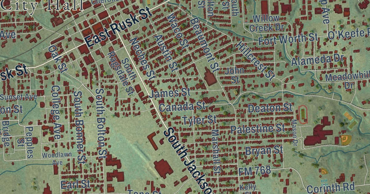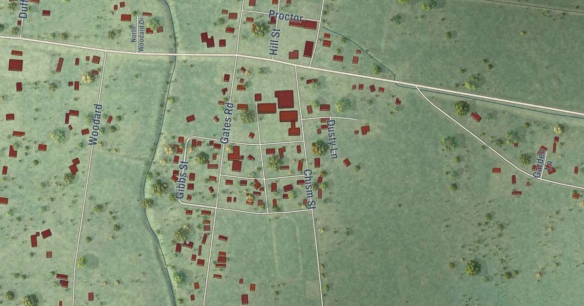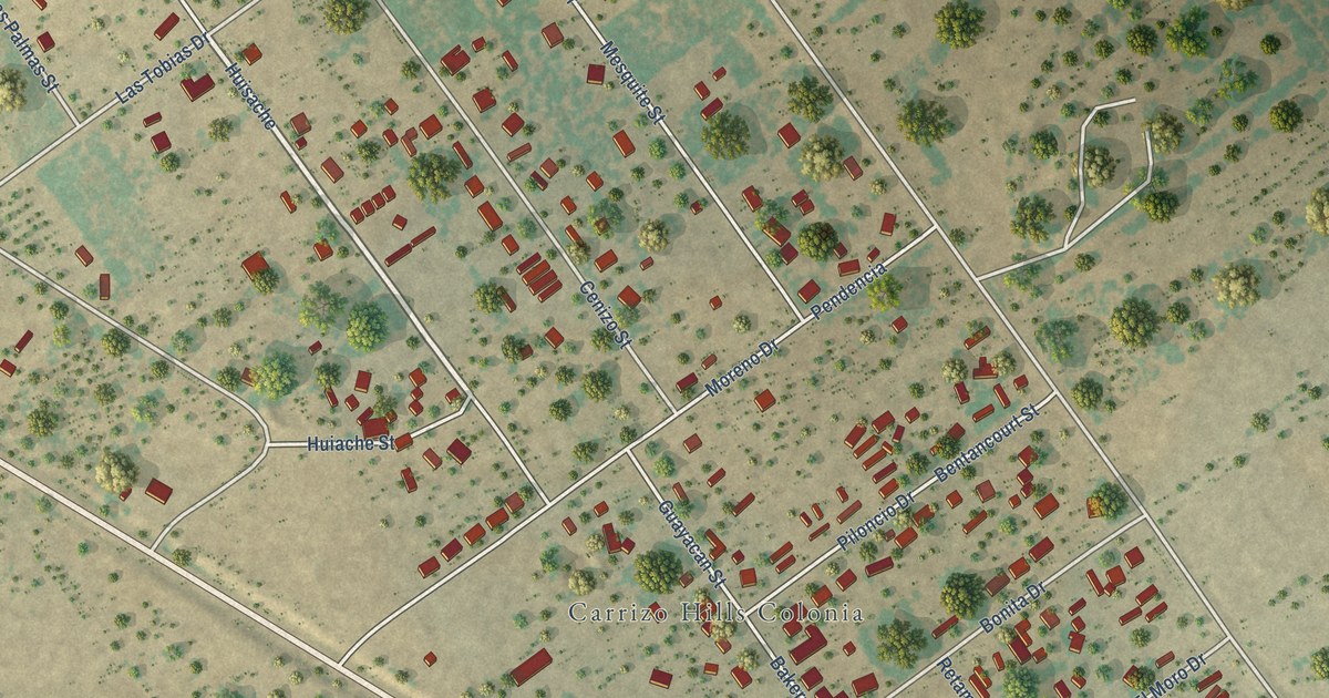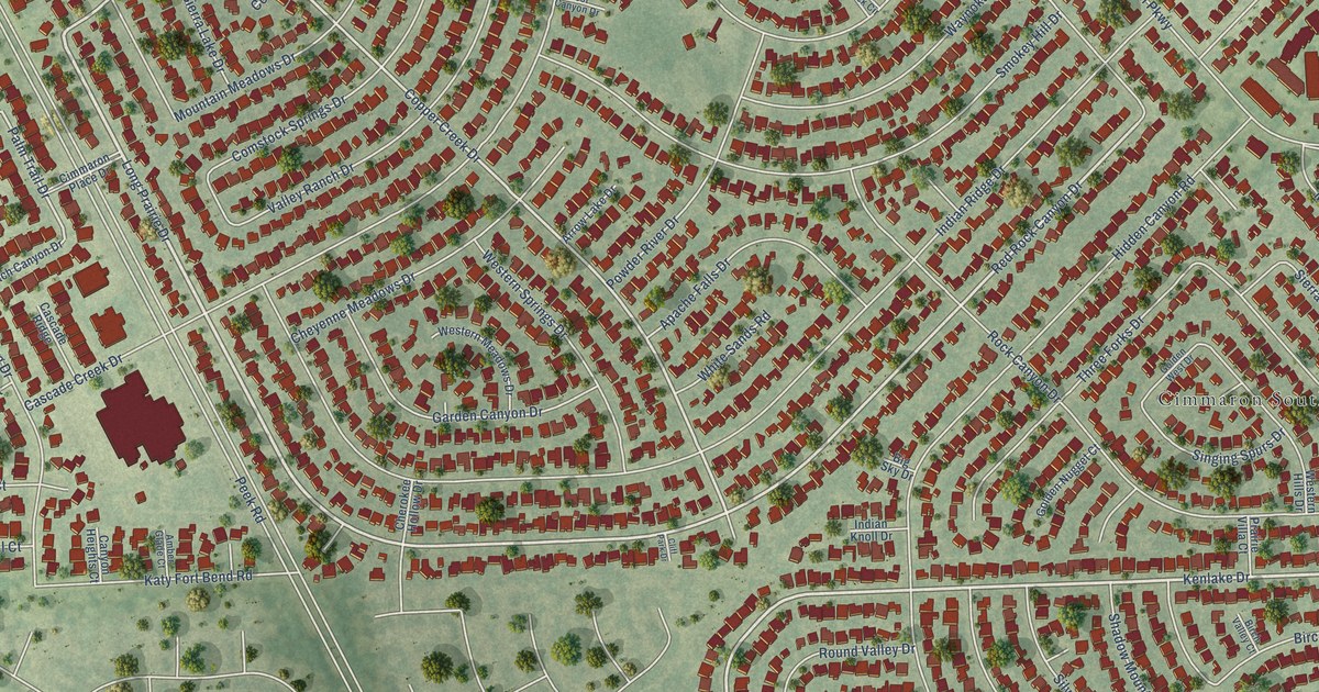
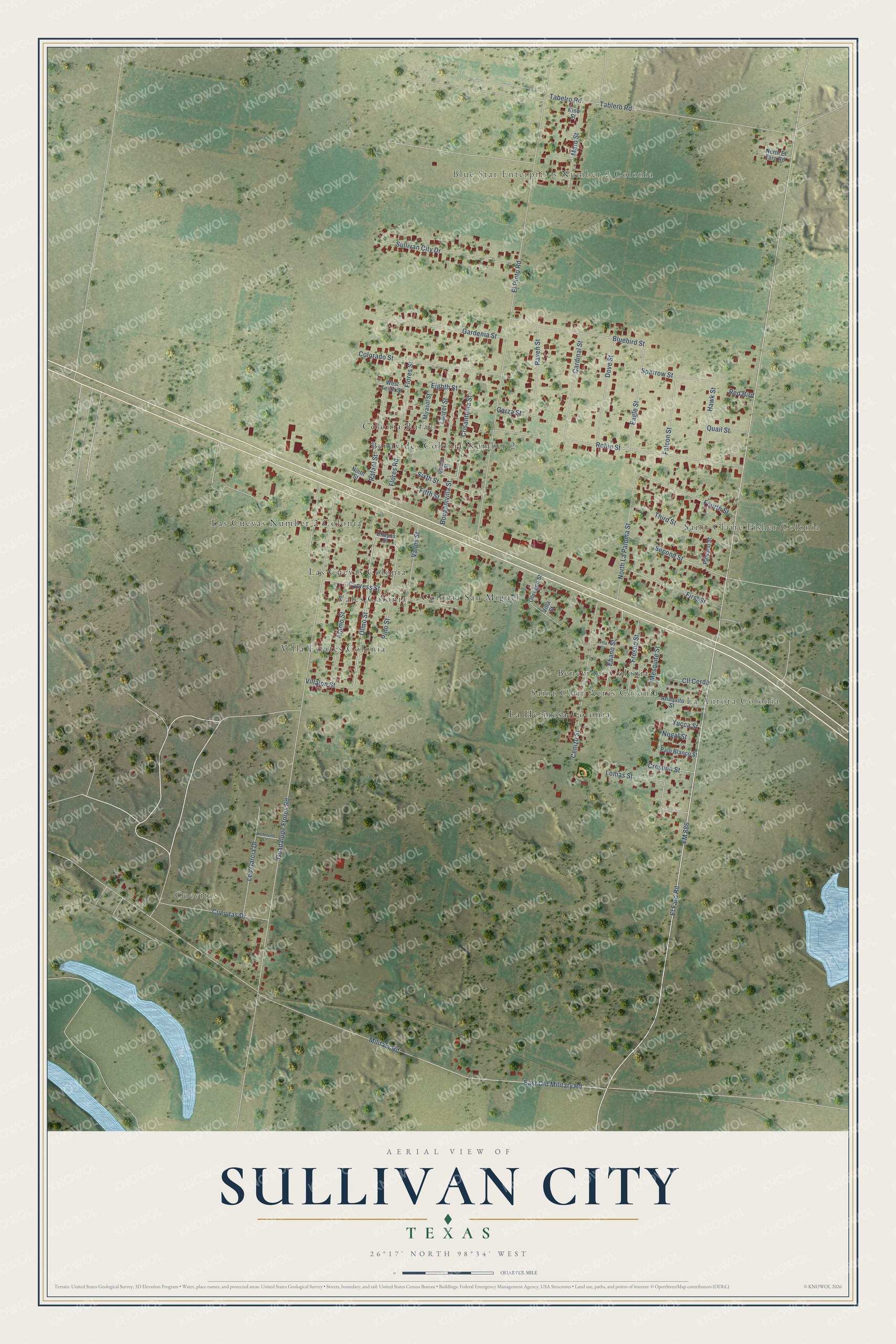
This beautifully detailed map of Sullivan City, Texas was created in 2026 using aerial imagery combined with modern topographical, census, street and landmark data. It’s a one-of-a-kind view of Sullivan City that combines accurate data with a vintage aesthetic. The map shows every building in its true location, many of the roads carry their names, and the shaded topographic relief shows the shape of the land.
Explore an aerial view of Sullivan City, Texas
On the map you’ll find Cuevitas, Blue Star Enterprises Number 2 Colonia, La Aurora Colonia, Saint Clair Acres Colonia, Saint Claire Fisher Colonia, Benavides Colonia Number 2, Benevides Colonia, Colonia Rafael, Colonia San Miguel, La Hermosa Colonia, Las Cuevas Colonia, Las Cuevas Number 2 Colonia, and more. If you look closely you can even find your house accurately drawn in its correct location. Zoom in on the preview to look for yours.
Did you know this piece of Sullivan City, Texas history?
From the Handbook of Texas: "The site, part of Ed W. Sullivan's ranch, became a loading station on the Missouri Pacific Railroad in 1927."
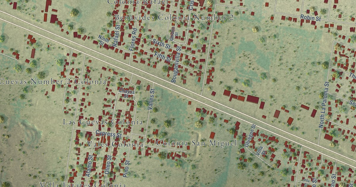
Take a closer look at the Sullivan City map
Street and place names on the Sullivan City, Texas map
These names are printed on the map of Sullivan City, Texas.
Places: Cuevitas, Blue Star Enterprises Number 2 Colonia, La Aurora Colonia, Saint Clair Acres Colonia, Saint Claire Fisher Colonia, Benavides Colonia Number 2, Benevides Colonia, Colonia Rafael, Colonia San Miguel, La Hermosa Colonia, Las Cuevas Colonia, Las Cuevas Number 2 Colonia, Vales Colonia and Villa Estates Colonia.
Streets and roads: Crisantema Street, Olmo Street, Eighth Street, El Faro Road, FM 886, Nogal Street, Military Road, Guadalupe Flores Road, El Pinto Road, Tablero Road, East Old Military Road, Robin Street.
More street names, A to Z
Alamo Street, Anaquito Street, Bluebird Street, Bouganivilla Street, Cardinal Street, Cenizo Street, Chayos Street, Cll Cerda, Colorado Street, Crespon Street, Cuevitas Drive, Cypress Street, Dove Street, Eagle Street, Ebano Street, Falcon Street, Fifth Street, First Street, Flores Road, Flores Street, Fourth Street, Fresno Street, Gardenia Street, Garza Street, Geranio Street, Hawk Street, Kino Street, Laurel Street, Leo Garcia Drive, Lomas Street, Maro Street, Mesquite Street, Mirasol Street, Ninth Street, North El Faro Road, North La Paloma Street, Obregon Street, Paisano Street, Palo Blanco Street, Pino Street, Pita Street, Quail Street, Rafael Street, Raven Street, Red Bird, Second Street, Sixth Street, Sparrow Street, Sullivan City Drive, Tabelro Road, Third Street, Valles Street, Victorville Lane, Villalon Street, Villa Street, West Tenth Street, Yucca Street.
See the Sullivan City, Texas map on a wall
The Sullivan City map as an 18 x 24 inch print in a black frame.

This beautifully detailed map of Sullivan City makes an attractive addition to your office, library, or den, and it can even be used to teach children the geography and history of the area. It also makes a great gift for anyone with Sullivan City roots. When you’re done exploring, click here to get your copy of the Sullivan City map.