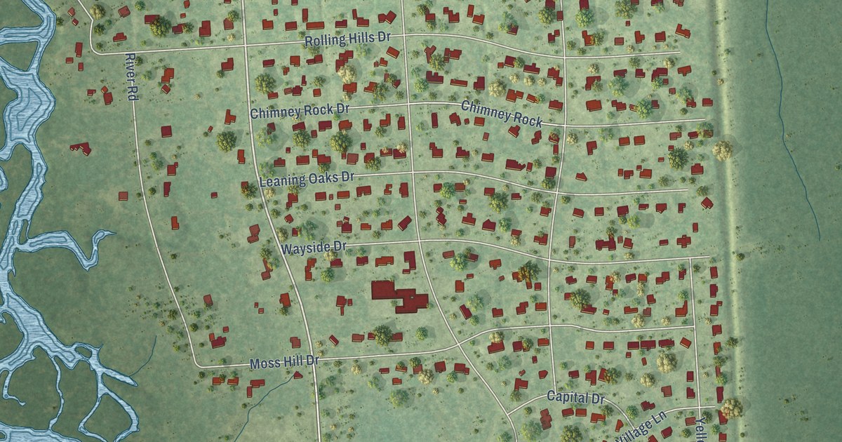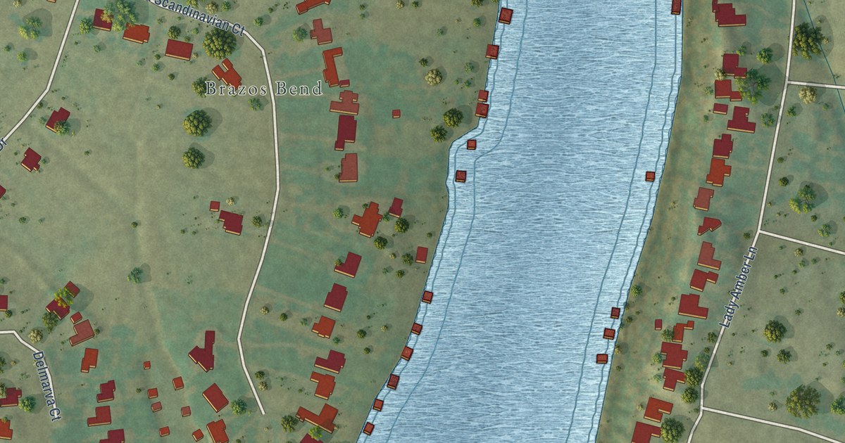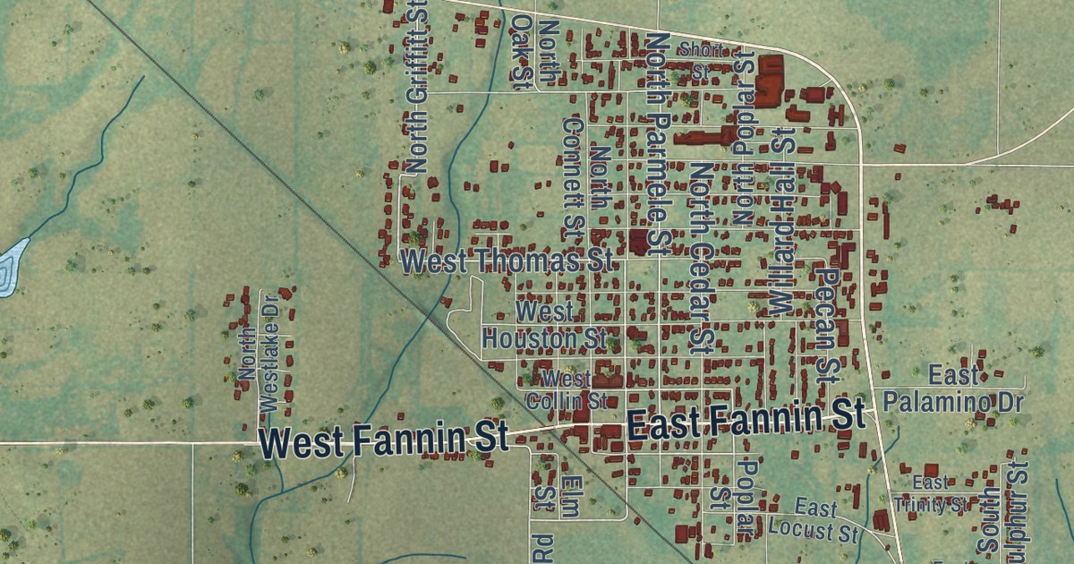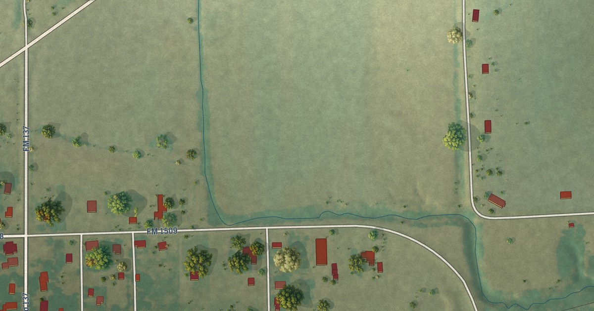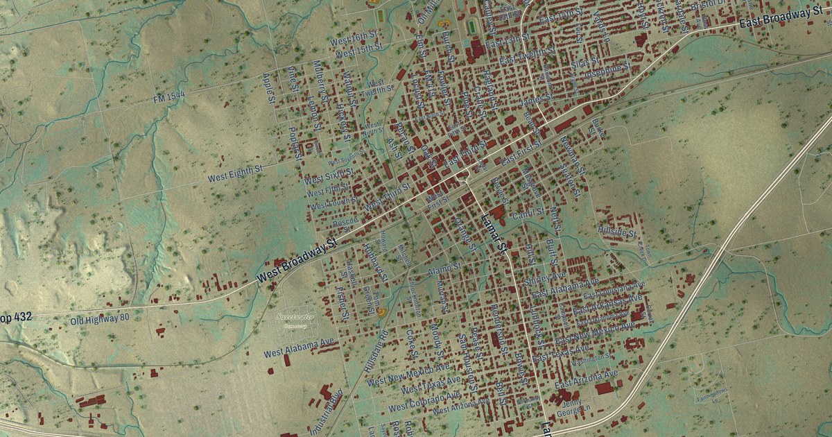
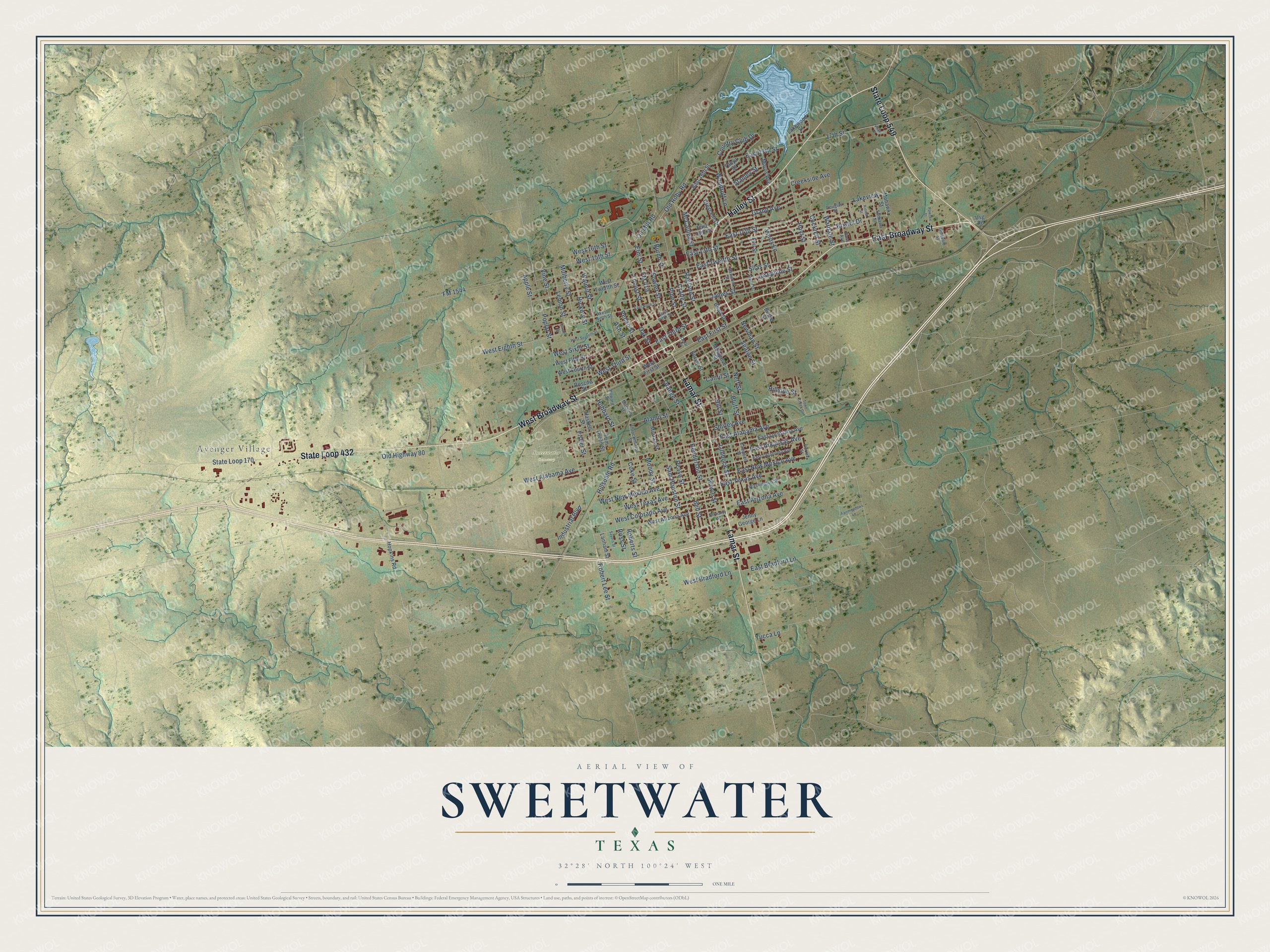
This beautifully detailed map of Sweetwater, Texas was created in 2026 using aerial imagery combined with modern topographical, census, street and landmark data. It’s a one-of-a-kind view of Sweetwater that combines accurate data with a vintage aesthetic. The map shows every building in its true location, many of the roads carry their names, and the shaded topographic relief shows the shape of the land.
Explore an aerial view of Sweetwater, Texas
On the map you’ll find Avenger Village and Sweetwater Cemetery, along with State Loop 549, East Broadway Street, State Loop 432, West Broadway Street, Lamar Street, Hailey Street, FM 419, Elm Street, Robert Lee Street, Oil Mill Road, and more. If you look closely you can even find your house accurately drawn in its correct location. Zoom in on the preview to look for yours.
Did you know this piece of Sweetwater, Texas history?
From the Handbook of Texas: "The county's first post office, established in 1879 in the village of Sweet Water, which was spelled as two words until officially changed in 1918."
Take a closer look at the Sweetwater map
Street and place names on the Sweetwater, Texas map
These names are printed on the map of Sweetwater, Texas.
Places: Avenger Village and Sweetwater Cemetery.
Streets and roads: State Loop 549, East Broadway Street, State Loop 432, West Broadway Street, Lamar Street, Hailey Street, FM 419, Elm Street, Robert Lee Street, Oil Mill Road, East First Street, Oak Street.
More street names, A to Z
17th Street, Alamo Street, Apple Street, Ash Street, Bawcom Street, Beall Street, Bell Street, Beryle Street, Bluff Street, Bowie Street, Brand Street, Bristol Drive, Burch Street, Burke Street, Campbell Street, Canfil Street, Cedar Street, Circle Drive, Cockrell Street, Coke Street, Corral Street, Country Club Drive, Crane Street, Creekside Avenue, Crescent Drive, Douglas Street, East 13th Street, East 14th Street, East 15th Street, East 16th Street, East 17th Street, East Alabama Avenue, East Arizona Avenue, East Arkansas Avenue, East Bradford Lane, East Fifth Street, East Louisiana Avenue, East New Mexico Avenue, East Ninth Street, East Oklahoma Avenue, East Texas Avenue, East Third Street, East Twelfth Street, Fairmeadows Lane, Fisher Street, FM 1544, Fowler Street, Gillespie Street, Grand Avenue, Haskell Street, Henderson Street, Hickory Street, Hillsdale Road, Hillside Street, Hill Street, Hopkins Road, Howard Street, Hoyt Street, Hubbard Street, Industrial Boulevard, James Street, Jenny George Lane, Josephine Street, Kiowa Street, Lakeview, Lakewood Street, Lanham Street, Lemon Street, Locust Street, Lou Street, Lubbock Street, McCauley Street, Mitchell Street, Mohawk Street, Moody Street, Morris Avenue, Mulberry Street, Murrah Street, Musgrove Street, Neff Street, Newman Street, Normandy Street, Old Highway 80, Old Roby Road, Orange Street, Pawnee Street, Pease Street, Pecan Street, Pine Street, Poplar Street, Ragland Street, Roberts Street, Roscoe Street, Ross Avenue, Ross Street, Sam Houston Street, Sayers Street, Seaton Street, Shirley Avenue, Silas Street, Stanley Street, State Loop 170, Tanya Street, Throckmorton Street, Tom Green Street, Tonkawa Street, Town Creek Drive, Usg Road, Vards Lane, Vine Street, Vista Court, Walnut Street, Wardale Street, Washington Street, West 15th Street, West 16th Street, West Alabama Avenue, West Arizona Avenue, West Bradford Lane, West Colorado Avenue, West Eighth Street, West Fifth Street, West First Street, West Fourth Street, West New Mexico Avenue, West Ninth Street, West Seventh Street, West Sixth Street, West Texas Avenue, West Third Street, West Twelfth Street, Woodruff Lane, Yucca Lane.
See the Sweetwater, Texas map on a wall
The Sweetwater map as an 18 x 24 inch print in a black frame.

This beautifully detailed map of Sweetwater makes an attractive addition to your office, library, or den, and it can even be used to teach children the geography and history of the area. It also makes a great gift for anyone with Sweetwater roots. When you’re done exploring, click here to get your copy of the Sweetwater map.