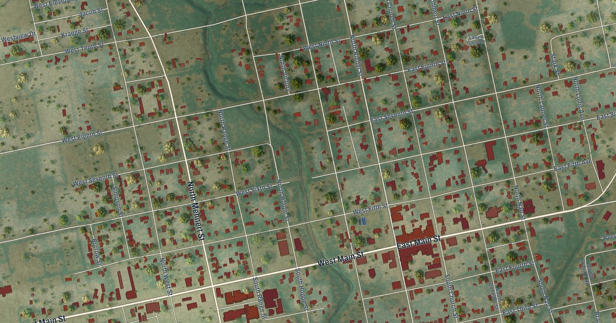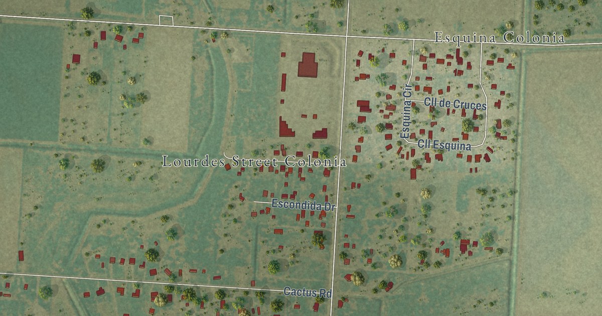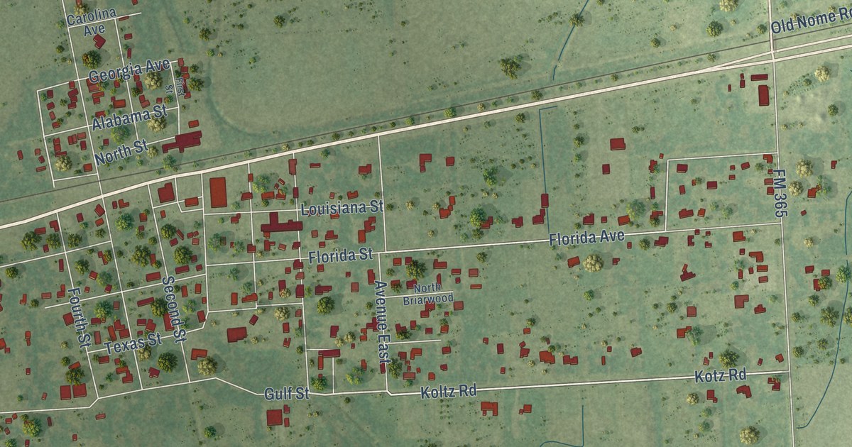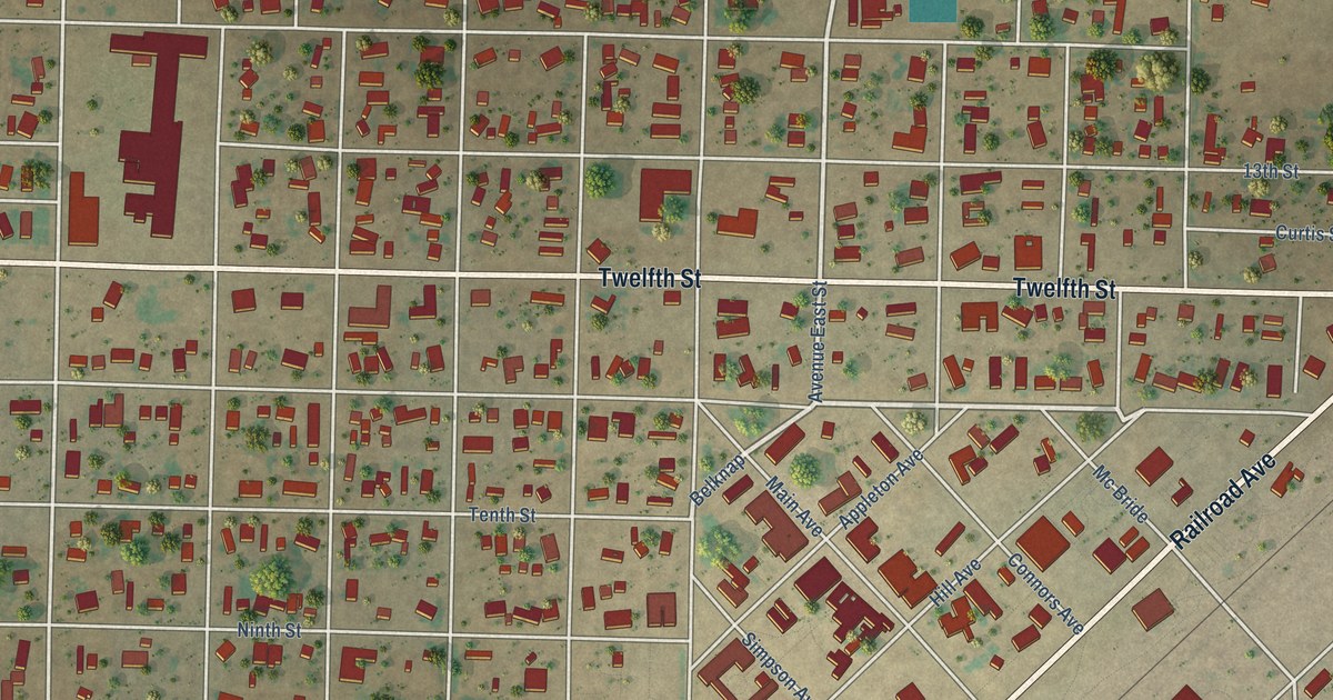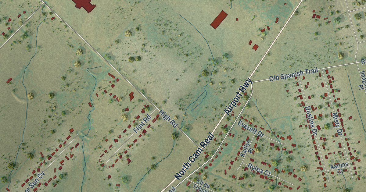
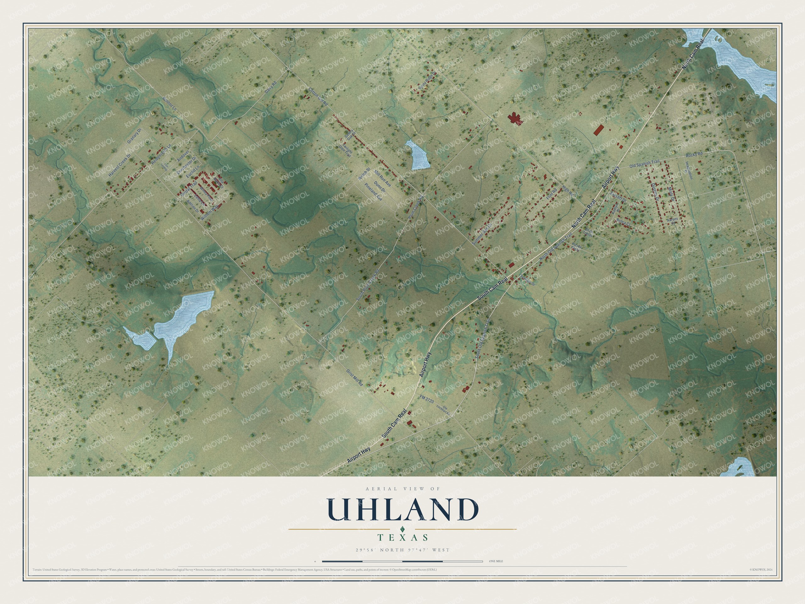
This beautifully detailed map of Uhland, Texas was created in 2026 using aerial imagery combined with modern topographical, census, street and landmark data. It’s a one-of-a-kind view of Uhland that combines accurate data with a vintage aesthetic. The map shows every building in its true location, many of the roads carry their names, and the shaded topographic relief shows the shape of the land.
Explore an aerial view of Uhland, Texas
On the map you’ll find North Cam Real and South Cam Real, along with Airport Highway, North Old Spanish Trail, South Old Spanish Trail, Rocky Road, Welch Street, Grist Mill Road, Cotton Gin Road, Plum Creek Road, High Road, South Plum Creek Road, and more. If you look closely you can even find your house accurately drawn in its correct location. Zoom in on the preview to look for yours.
Did you know this piece of Uhland, Texas history?
The city is named after the German poet Ludwig Uhland. German emigrants settled it in the 1800s, just as they settled its northern neighbor, Niederwald. Both sit in the Texas-German belt of central Texas.
Take a closer look at the Uhland map
Street names on the Uhland, Texas map
These names are printed on the map of Uhland, Texas.
Streets and roads: Airport Highway, North Cam Real, South Cam Real, North Old Spanish Trail, South Old Spanish Trail, Rocky Road, Welch Street, Grist Mill Road, Cotton Gin Road, Plum Creek Road, High Road, South Plum Creek Road.
More street names, A to Z
Aarons Court, Adeline Drive, Andover, Bunton Lane, Cll de Tobias, Dairy Road, Dorchester Drive, Dunn Drive, Dustins Drive, Ella Marie Court, Euclid Lane, Everett Drive, Flint Road, FM 2720, Gentry Oak Drive, Granary Drive, Gustaf Trail, Harvest Creek Drive, Heidenreich Lane, Imagination Place, Kaitlyn Place, Lena Lane, Levi Landing, Mill Run Avenue, Misty Drive, Old Lockhart Road, Old Spanish Trail, Pineland Avenue, Pso de Perez, Rylea Court, Seeliger Drive, Summer Sun Cv, Sunny Ridge Drive, Twilight Glen Trail, Wilhem Way, Wilma Pass.
See the Uhland, Texas map on a wall
The Uhland map as an 18 x 24 inch print in a black frame.

This beautifully detailed map of Uhland makes an attractive addition to your office, library, or den, and it can even be used to teach children the geography and history of the area. It also makes a great gift for anyone with Uhland roots. When you’re done exploring, click here to get your copy of the Uhland map.