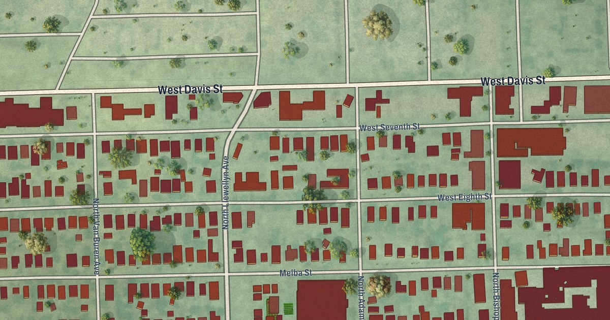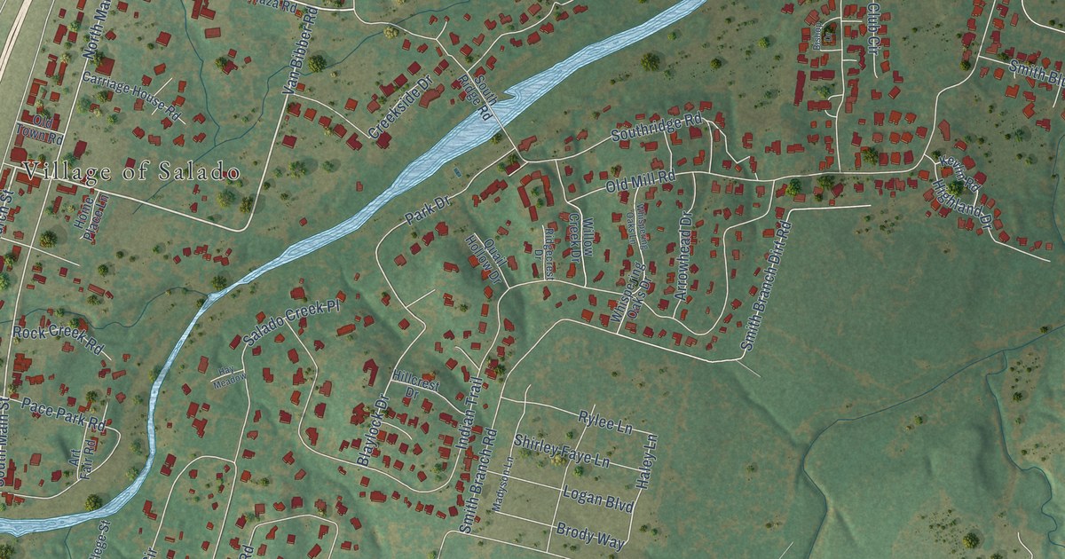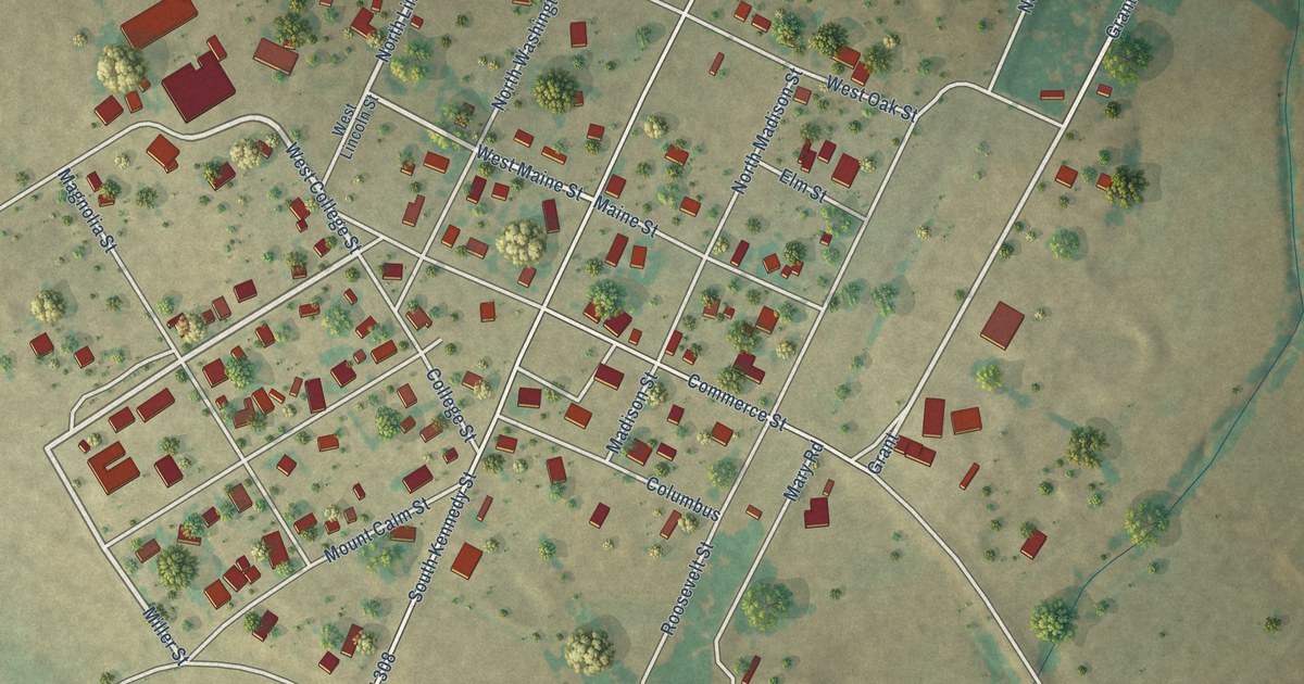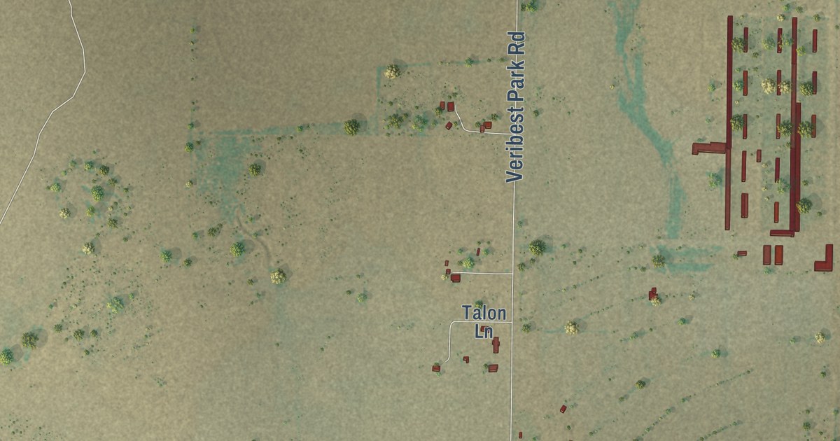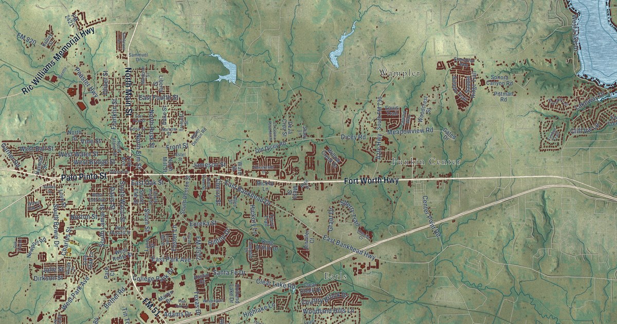
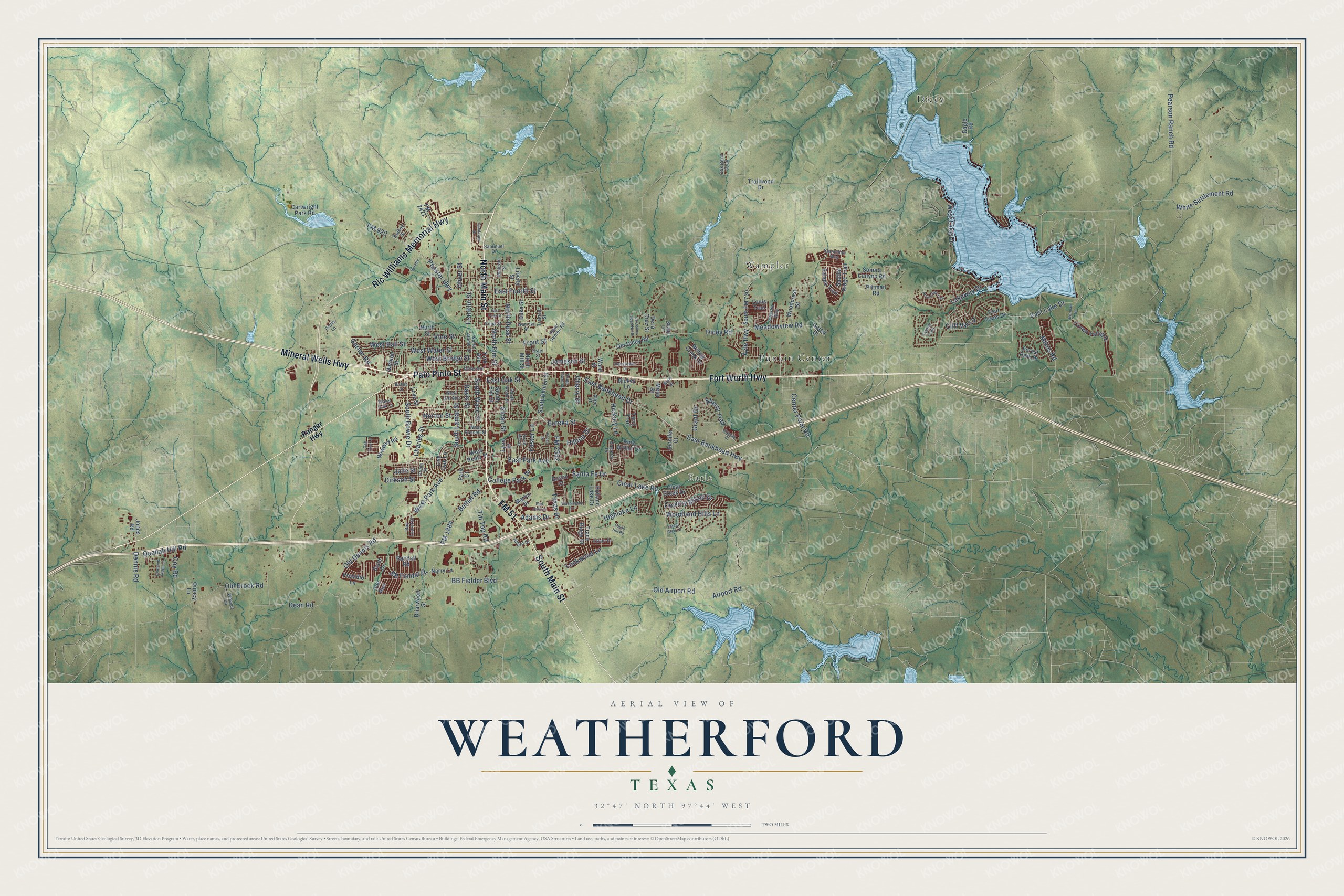
This beautifully detailed map of Weatherford, Texas was created in 2026 using aerial imagery combined with modern topographical, census, street and landmark data. It’s a one-of-a-kind view of Weatherford that combines accurate data with a vintage aesthetic. The map shows every building in its true location, many of the roads carry their names, and the shaded topographic relief shows the shape of the land.
Explore an aerial view of Weatherford, Texas
On the map you’ll find Dicey, Earls, Punkin Center, and Wampler, along with Fort Worth Highway, FM 51, South Main Street, Mineral Wells Highway, Palo Pinto Street, North Main Street, Ric Williams Memorial Highway, West Lake Drive, and more. If you look closely you can even find your house accurately drawn in its correct location. Zoom in on the preview to look for yours.
Did you know this about Weatherford, Texas?
From the Handbook of Texas: "For its first twenty-five years Weatherford acted not only as the county seat but also as a safe haven for Parker County residents, who fled to the city during the series of Indian raids which lasted until the early 1870s."
Take a closer look at the Weatherford map
Street and place names on the Weatherford, Texas map
These names are printed on the map of Weatherford, Texas.
Places: Dicey, Earls, Punkin Center and Wampler.
Streets and roads: Fort Worth Highway, FM 51, South Main Street, Mineral Wells Highway, Palo Pinto Street, North Main Street, Ric Williams Memorial Highway, West Lake Drive, South Bowie Drive, Old Airport Road, Airport Road, East Oak Street.
More street names, A to Z
Acorn Hill Trail, Adams Drive, Alford Drive, Allen Street, Atwood Court, Austin Court, Azle Highway, Bay Laurel Drive, BB Fielder Boulevard, BB Fielder Drive, Bethel Road, Bishop Street, Blair Drive, Briarwood Street, Burette, Camelot Drive, Cartwright Park Road, Center Point Road, Charles Street, Charlie Way, Cherry Street, Clear Creek Drive, Clear Lake Road, Cliff Vw Lp, College Park Drive, Country Brook Drive, Coy Road, Crown Valley Drive, Dallas Avenue, Davis Lane, Davis Street, Dean Road, De la Cruz Street, Dennis Road, Diamond Ridge Lane, Dicey Road, Dirkson Street, Doe Run, Duke Street, East Bankhead Drive, East Bankhead Highway, East First Street, East Fourth Street, East Lake Drive, East Park Avenue, Edna Street, Estel Street, Ethan Drive, Eureka Street, FM 920, FM 1884, FM 2421, FM 2552, Forest Glen Lane, Forest Park Drive, Fossil Hill Road, Foster Lane, Four Trees Drive, Franklin Street, Front Street, Garner Road, Gated Drive, Grant Drive, Harmon Street, Hickory Lane, Highlake Lane, Hilltop Drive, Holland Lake Drive, Jameson Street, Jennifer Court, Jones Road, Julie Street, Kathey Street, King Arthur Drive, La Colina Road North, Lakeway Drive, Liberty Street, Live Oak Lane, Lockwood Lane, Louis Trail, Love Street, Lynn Street, Madison Street, Martin Drive, Meadowview Road, Mesa Street, Mikus Road, Narrow Street, Narry Lane, Newport Road, Norman Drive, North Alamo Street, North Elm Street, North Mill Street, North Rusk Street, North Street, Norton Street, Oak Bend Trail, Oak Tree Lane, Old Brock Road, Old Dennis Road, Old Dicey Road, Oliver Street, Oriole Street, Park Court, Pearson Ranch Road, Peaster Highway, Pecan Drive, Pittman Road, Presidio Lane, Quahah Hill Road, Quincy Lane, Ragle Road, Randall Road, Ranger Highway, Red Oak Lane, Rickey Lane, Saddle Ridge Trail, Salado Trail, Sammuel Drive, Sandpiper Drive, Santa Fe Drive, Scott Drive, Shady Lane, Sherry Trail, Sloan Street, Sonora Canyon Road, South Denton Street, South Elm Street, South FM 730, South Lamar Street, South Mill Street, South Rusk Street, South Tower Street, South Waco Street, Stanchion Way, Sweetwater Drive, Terry Trail, Texas Drive, Timber Trail, Tin Top Road, Trace Ridge Drive, Trailwood Drive, Tremont Street, Upper Denton Road, Vine Street, Ward Street, Washington Drive, Water Oak Lane, Weaver Lane, West Ball Street, West Bridge Street, West Lee Avenue, West Park Avenue, West Rentz Street, West Russell Street, West Water Street, White Settlement Road, Willow Creek Drive, Woodcrest Street, Woodland Hills Lane, York Avenue.
See the Weatherford, Texas map on a wall
The Weatherford map as an 18 x 24 inch print in a black frame.

This beautifully detailed map of Weatherford makes an attractive addition to your office, library, or den, and it can even be used to teach children the geography and history of the area. It also makes a great gift for anyone who grew up in Weatherford or moved away. When you’re done exploring, click here to get your copy of the Weatherford map.