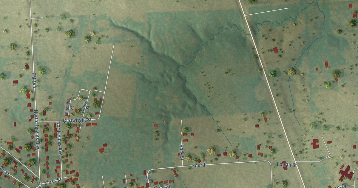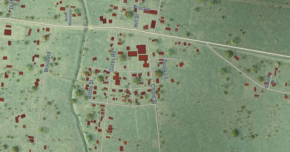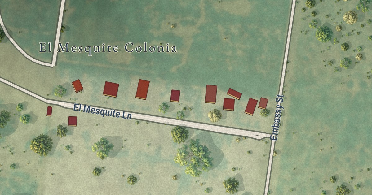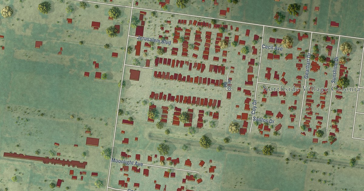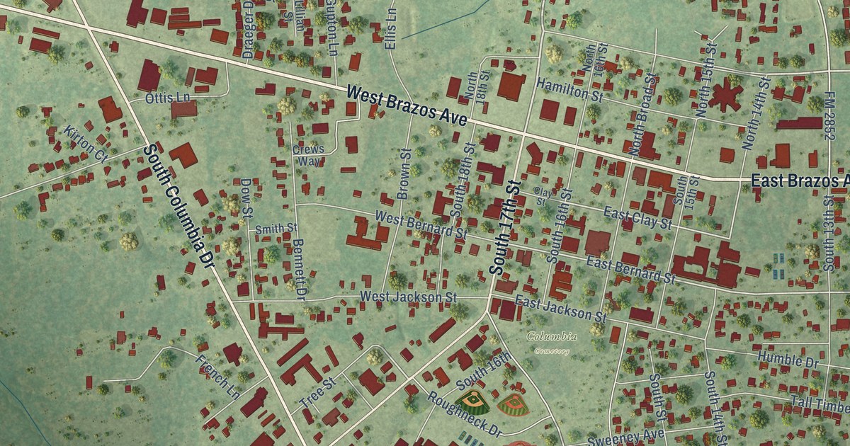
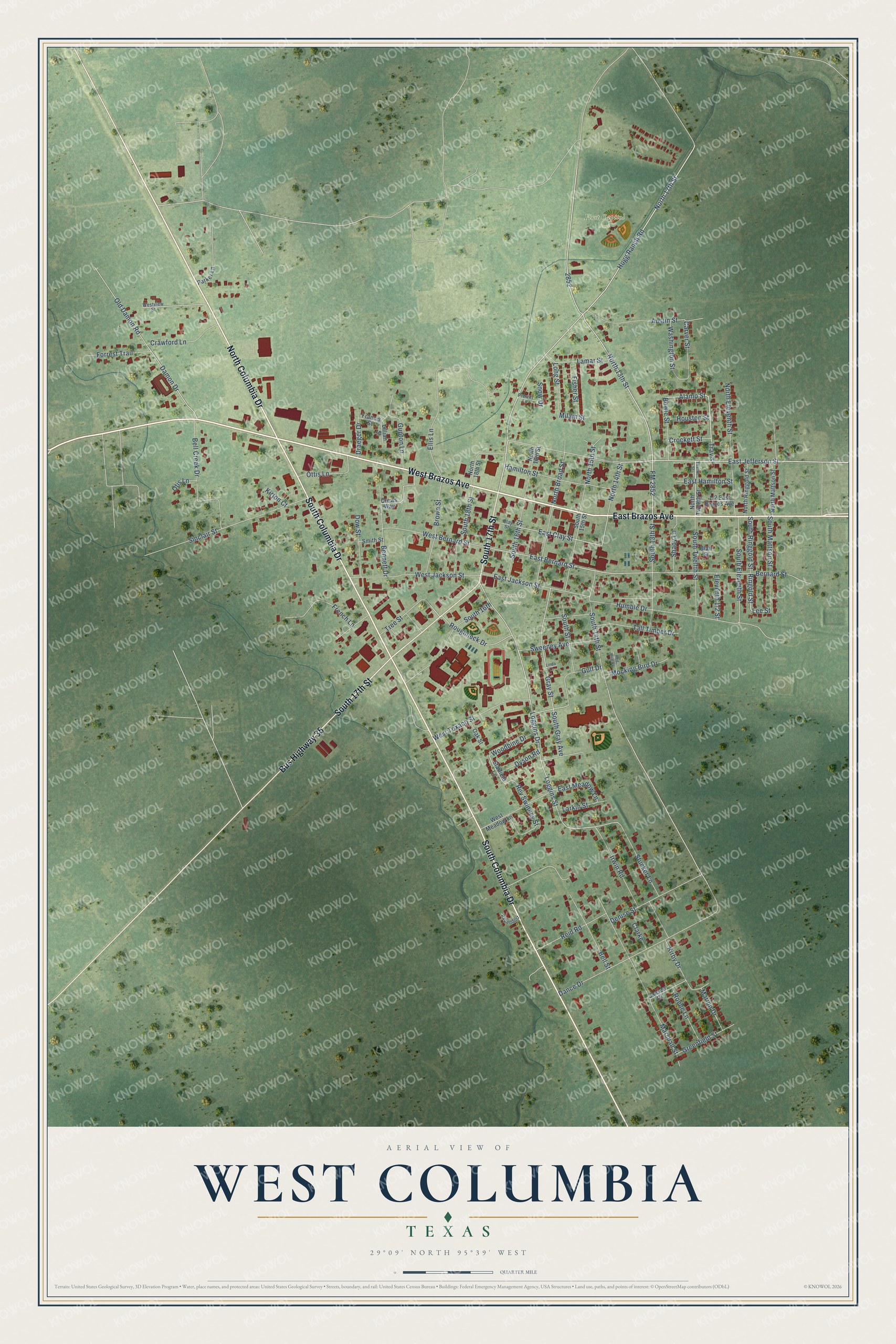
This beautifully detailed map of West Columbia, Texas was created in 2026 using aerial imagery combined with modern topographical, census, street and landmark data. It’s a one-of-a-kind view of West Columbia that combines accurate data with a vintage aesthetic. The map shows every building in its true location, many of the roads carry their names, and the shaded topographic relief shows the shape of the land.
Explore an aerial view of West Columbia, Texas
On the map you’ll find First Capitol Park, Columbia Cemetery, and Travis, along with West Brazos Avenue, East Brazos Avenue, South Columbia Drive, North Columbia Drive, South 17th Street, Bus Highway 35, Ringold Street, North 17th Street, East Jefferson Street, and more. If you look closely you can even find your house accurately drawn in its correct location. Zoom in on the preview to look for yours.
Did you know this piece of West Columbia, Texas history?
From the Handbook of Texas: "West Columbia, an incorporated town on State highways 35 and 36 between the Brazos and San Bernard rivers in west central Brazoria County, was founded as Columbia in 1826 by Josiah Hughes Bell, who laid out the town two miles west of Marion (now East Columbia)."
Take a closer look at the West Columbia map
Street and place names on the West Columbia, Texas map
These names are printed on the map of West Columbia, Texas.
Places: First Capitol Park and Columbia Cemetery.
Streets and roads: West Brazos Avenue, East Brazos Avenue, South Columbia Drive, North Columbia Drive, South 17th Street, Bus Highway 35, Ringold Street, Travis, North 17th Street, East Jefferson Street, Alamo Street, Lee Street.
More street names, A to Z
Austin Street, Bell Creek Drive, Bell Street, Bennett Drive, Bernard Street, Blair Street, Bowie Street, Brown Street, Carver Street, Clarke, Clay Street, Crawford Lane, Crews Way, Crockett Street, Damon Drive, Dance Drive, Denise Street, Dow Street, Draeger Drive, Dyson Road, East Bernard Street, East Clay Street, East Hamilton Street, East Jackson Street, East Meadow Lane, Ellis Lane, Fisher Street, FM 2852, Forrest Trail, Francis Street, French Lane, Gray Street, Greenfield Street, Gulf Drive, Gupton Lane, Hamilton Street, Hogg Ranch Road, Houston Street, Humble Drive, Irwin Road, Jansen Drive, Kirby Drive, Kirton Court, Lamar Street, Larkin Street, Lillian Street, Linda Lane, Loggins Drive, Loggins Street, Long Street, Marion Drive, Marshall Street, Milam Street, Mocking Bird Drive, North 13th Street, North 14th Street, North 15th Street, North 16th Street, North 18th Street, North Broad Street, North Eleventh Street, North Mattson Street, North Ringgold Street, North Twelfth Street, Oak Street, Old Damon Road, Otis Lane, Ottis Lane, Papendorf, Parker Lane, Prewitt Lane, Red Bird Court, Reid Road, Rev Swinney Street, Roene Lane, Roughneck Drive, Shady Lane, Sinclair Street, Smith Street, Snow Drive, South 13th Street, South 14th Street, South 15th Street, South 16th, South 16th Street, South 18th Street, South Eleventh Street, South Gray Avenue, South Mattson Street, South Ringgold Street, South Street, South Twelfth Street, Starfield Lane, Stucker Lane, Sweeney Avenue, Tall Timber Drive, Tree Street, Twelfth Street, Washington Street, West Bernard Street, West Jackson Street, West Meadow Lane, West Texaco Street, Westview Street, Woodbine Drive.
See the West Columbia, Texas map on a wall
The West Columbia map as an 18 x 24 inch print in a black frame.

This beautifully detailed map of West Columbia makes an attractive addition to your office, library, or den, and it can even be used to teach children the geography and history of the area. It also makes a great gift for anyone with West Columbia roots. When you’re done exploring, click here to get your copy of the West Columbia map.