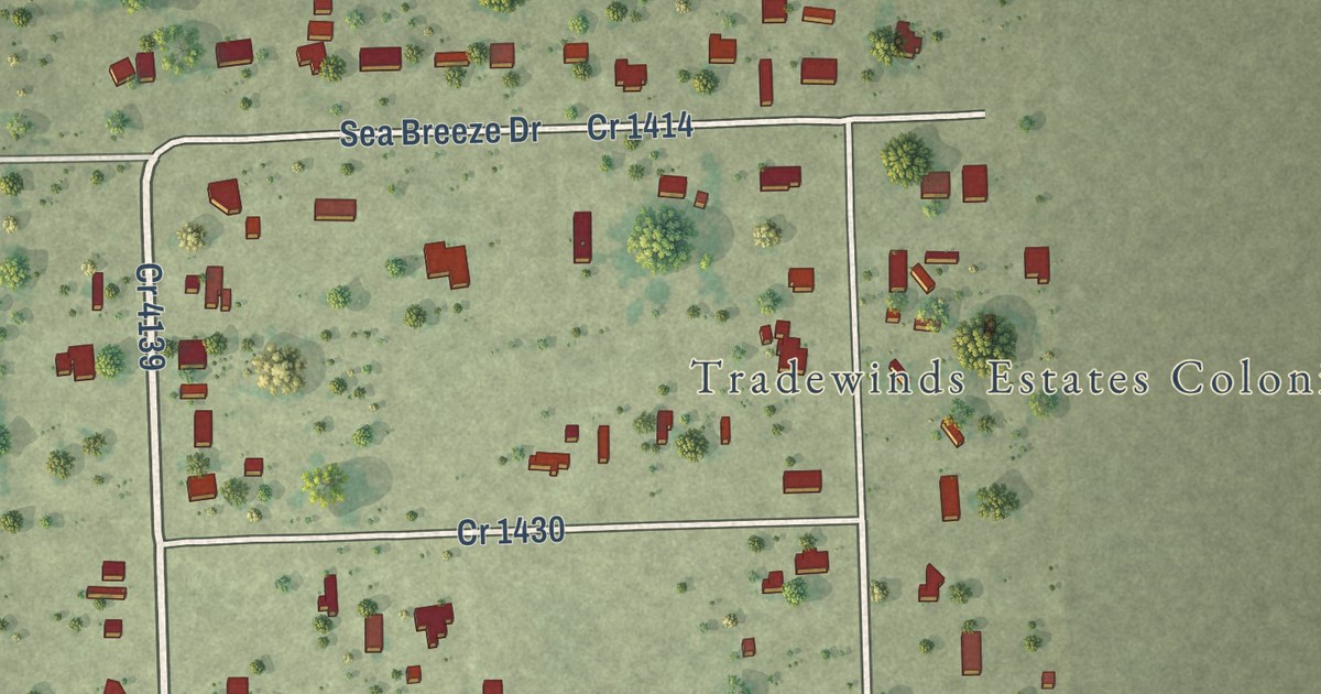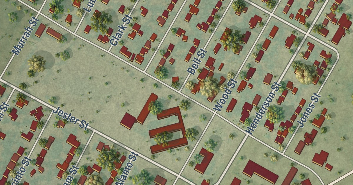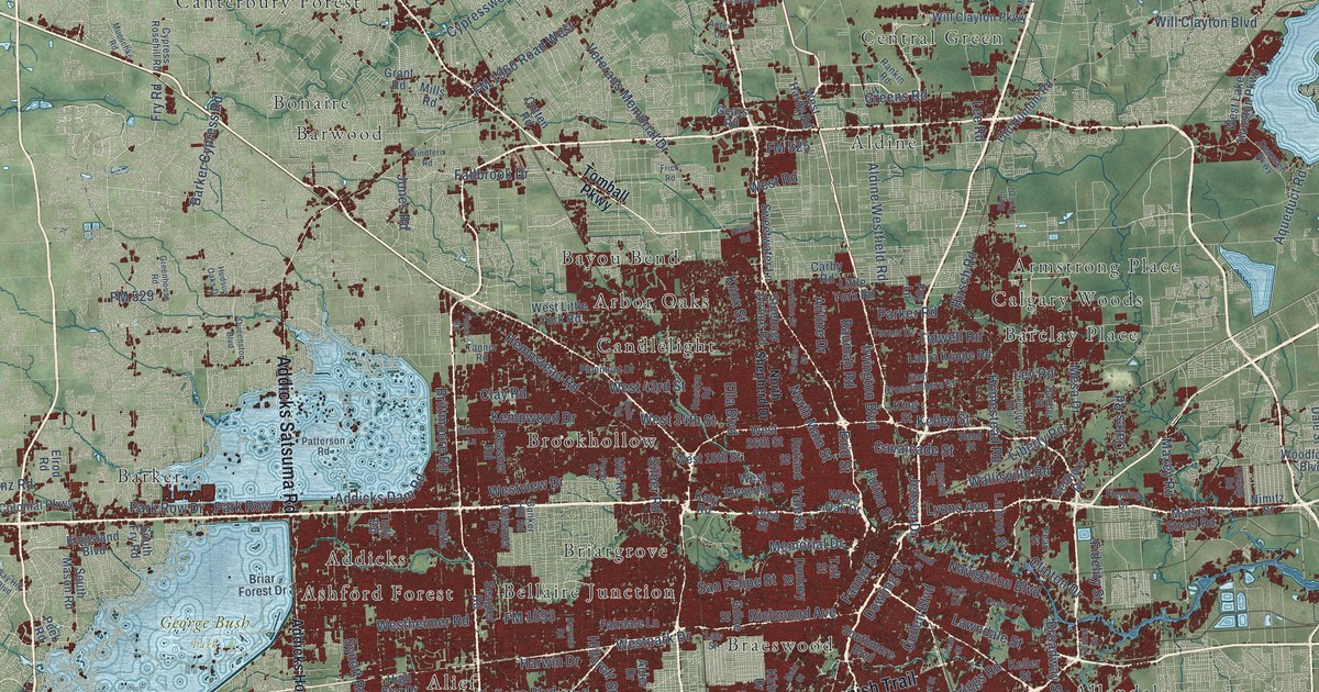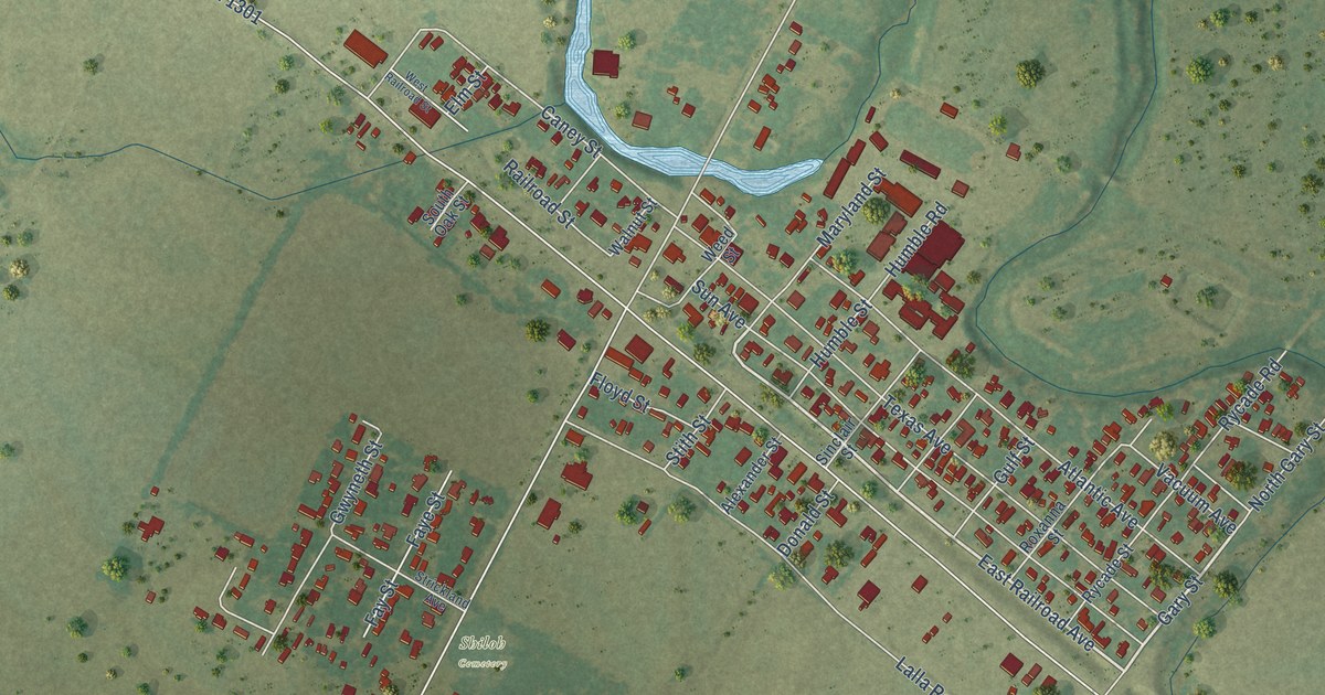
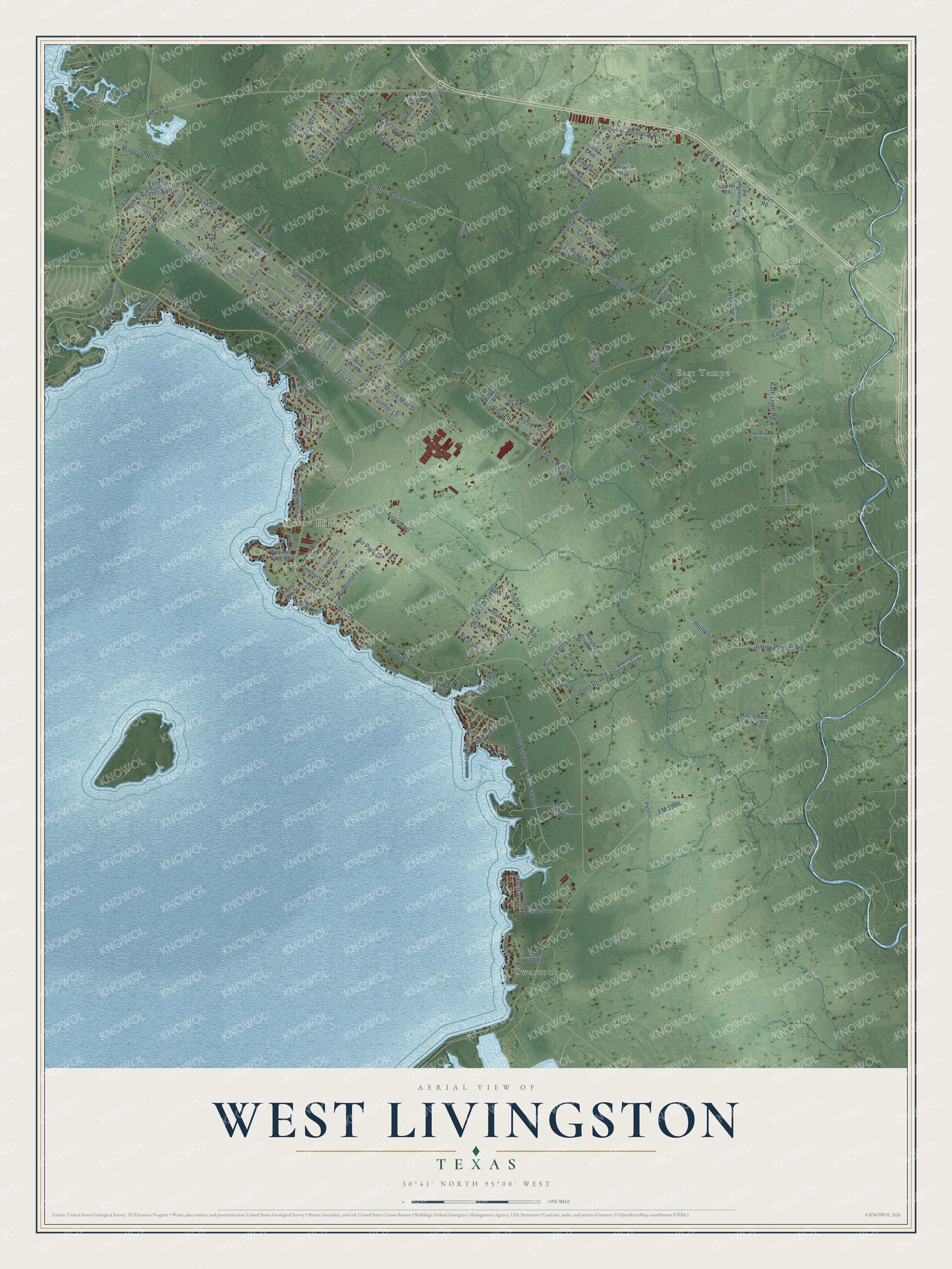
This beautifully detailed map of West Livingston, Texas was created in 2026 using aerial imagery combined with modern topographical, census, street and landmark data. It’s a one-of-a-kind view of West Livingston that combines accurate data with a vintage aesthetic. The map shows every building in its true location, many of the roads carry their names, and the shaded topographic relief shows the shape of the land.
Explore an aerial view of West Livingston, Texas
On the map you’ll find East Tempe, Moore Hill, Blanchard, Swartout, and Beaver Run, along with Pinehurst Drive, Saint Park Road, Windwood Drive, Sand Dollar Drive, Moonbeam Lane, FM 2457, Broken Arrow Trail, and more. If you look closely you can even find your house accurately drawn in its correct location. Zoom in on the preview to look for yours.
Did you know this piece of West Livingston, Texas history?
From the Handbook of Texas: "The Houston, East and West Texas Railway was completed north across Polk County in 1881, and the tracks have been used by the Southern Pacific since 1961."
Take a closer look at the West Livingston map
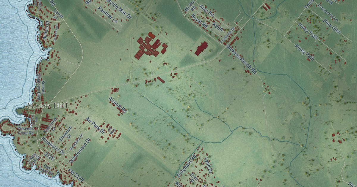
Street and place names on the West Livingston, Texas map
These names are printed on the map of West Livingston, Texas.
Places: East Tempe, Moore Hill, Blanchard and Swartout.
Streets and roads: Pinehurst Drive, Saint Park Road, Beaver Run, Windwood Drive, Sand Dollar Drive, Moonbeam Lane, FM 2457, Broken Arrow Trail, Peacock Run, Broken Arrow, State Park Road, Long Road.
More street names, A to Z
Air Park Drive, Airport Road, Air Way, Alan Road, Alibi Lane, Anna Drive, Antioch Church Road, Bandy Drive, Barnett Lane, Barry Drive, Bass Street, Bay View Lane, Beachnut Drive, Beau Rivage, Bird Lane, Bobwhite Lane, Branding Iron, Breeze Lane, Brookhaven Path, Brownwood Trail, Buffalo Court, Burchfield Drive, Carters Drive, Chris Brent Drive, Chuckwagon, Clamons Park Drive, Clower Avenue, Cotton Hill Road, Deer Trail, Dickens Ranch Road, Don Reily Drag, Douglas Nugent Road, Earnest Road, Elmwood Drive, Estate Road, Fillingim Road, Flores Road, FM 350, FM 1988, FM 3126, FM 3126 Road, FM 3277, Forester, Foyt Drive, Frasher Avenue, Frederick Drive, Glory Drive, Gnendee Lane, Goodnight Trail, Happy Trail, Harrell Road, Harry, Heather Glen, Hecklers Road, Hefner Avenue, Hensley Drive, Hickory Lane, Hodge Road, Hoot Owl Lane, Hoyt Eastepp Road, Indian Oaks, Jan Lane, Jenell, Joyce Street, Junior Phillips Road, Kate Lowe Road, Keith, Kings Village Road, Klein Drive, Knuff Road, Lakeshore Drive, Lariat Lane, Leaf Lane, Leisure Lane, Lero Lane, Lexington, Lilo Lane, Lita Drive, Lively Oak Street, Live Oak Street, Longhon Valley Drive, Longhorn Drive East, Longhorn Drive North, Longhorn Valley Drive, Lost Oak, Lynn Drive, Mahala, Mangum Road, Mini Lane, Mount Rose Church Road, Mouse Brown Road, Mr Svc Road, Myrtle Mae Drive, Neibel Drive, Nickerson Road, Oak Crest Drive, Old Post Road North, Panther Lane, Pcoleman Road, Pearson Street, Pelican Drive, Peters Drive, Phillips Road, Pine Glen, Piney Lane, Piney Path, Piney Trail, Prewitt Road, Pridgen Road, Pritchard Road, Prosperity Lane, Pull Tight Lane, Rae Ann Boulevard, Rainey Road, Robbie Road, Royal Road, Roy Bean Road, Saint Regis, Sambo Lane, Sixth Street, Skylark Lane, Sparrow Hawk Drive, Star Dust Drive, Starr Street, State Park Road 65, Still Forest Circle, Sundance Trail, Sunset Shadows Boulevard, Tempe Timbers, Thorntree Drive, Timber Lane, Timberside Drive South, Tom, Tomahawk Lane, Travis Avenue, Tyler Street, Vess Drive, Virginia Lane, Warbler Lane, Weavers Cove Road, Wendy Way, Wilcox Drive, Wild Bird Drive, Windomere Drive, Wobbly Bobbly Tram, Woodway Acres.
See the West Livingston, Texas map on a wall
The West Livingston map as an 18 x 24 inch print in a black frame.

This beautifully detailed map of West Livingston makes an attractive addition to your office, library, or den, and it can even be used to teach children the geography and history of the area. It also makes a great gift for anyone with West Livingston roots. When you’re done exploring, click here to get your copy of the West Livingston map.