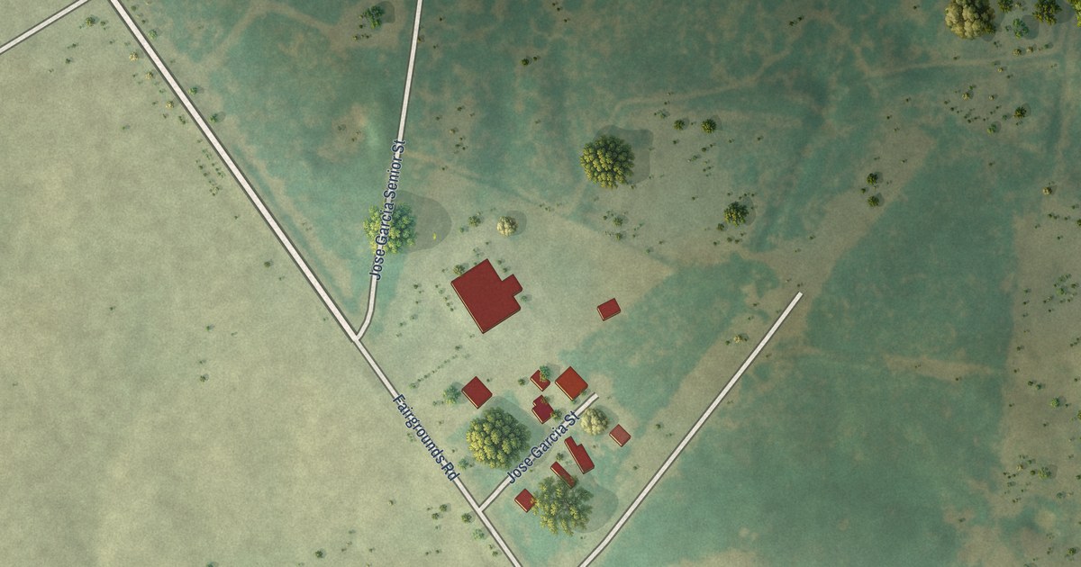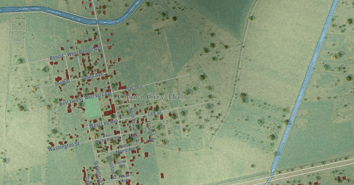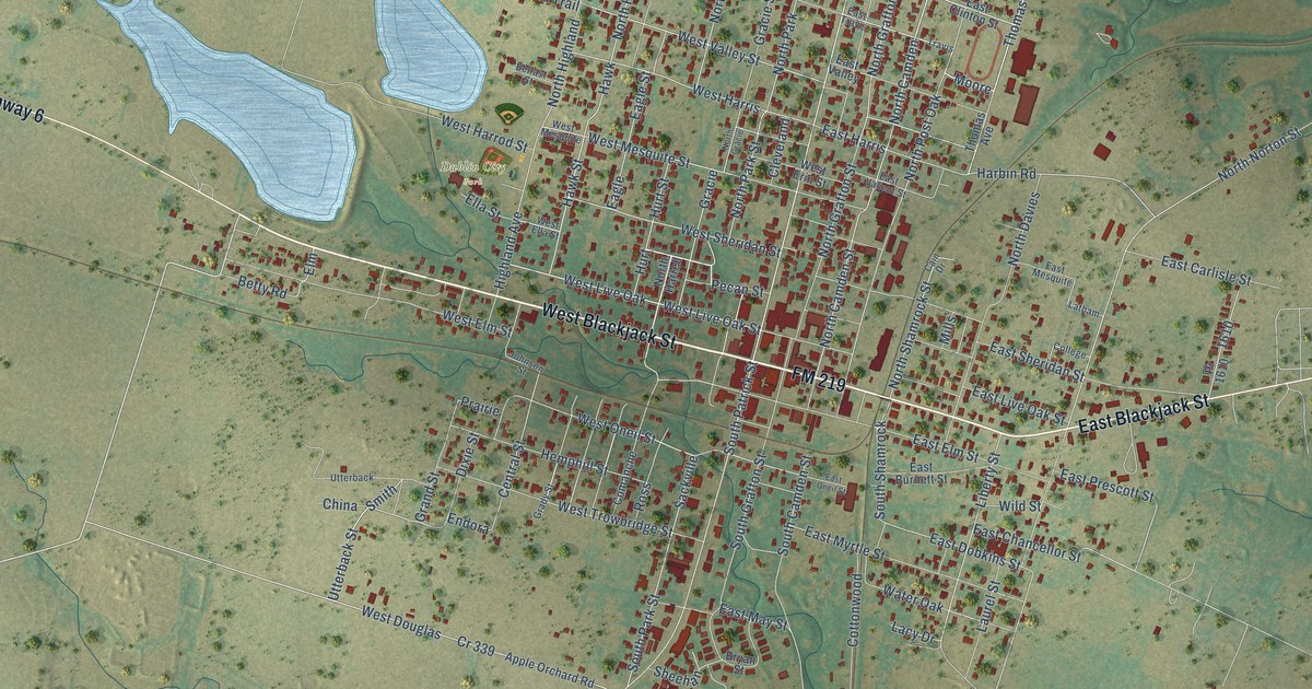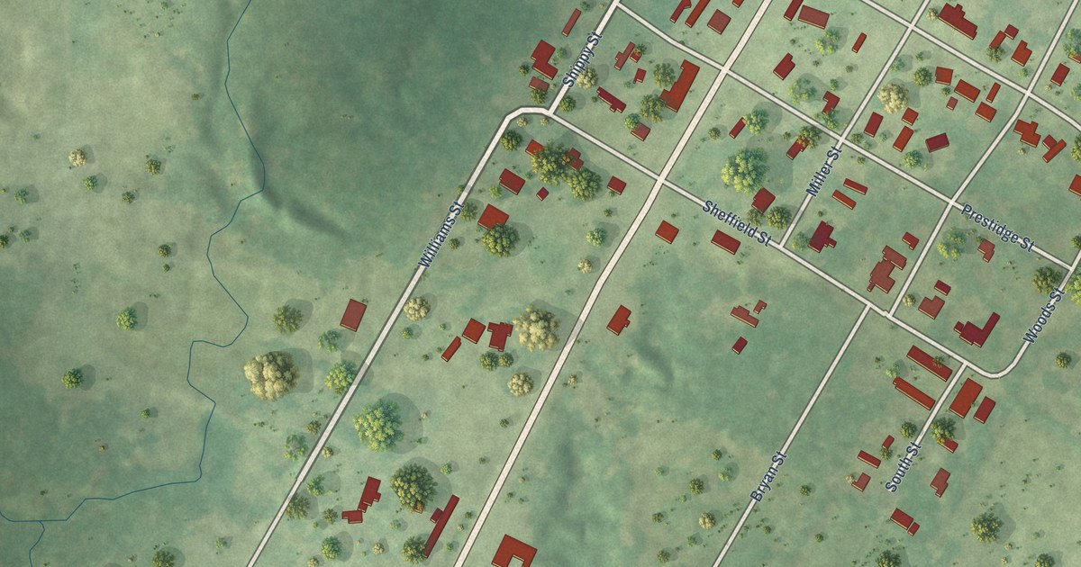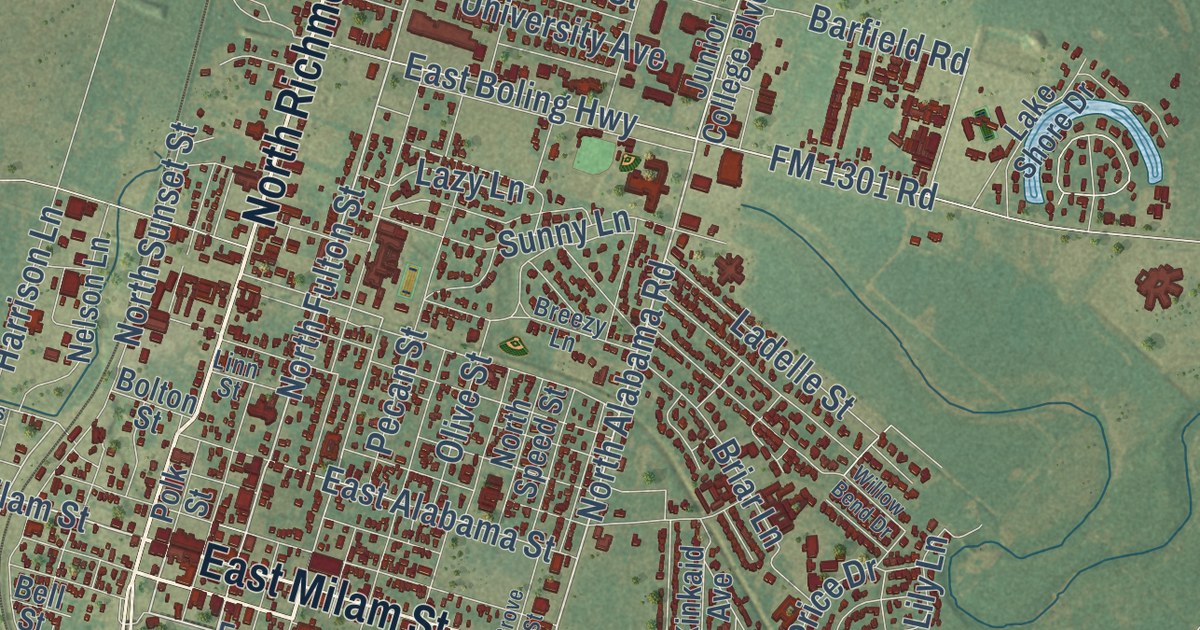
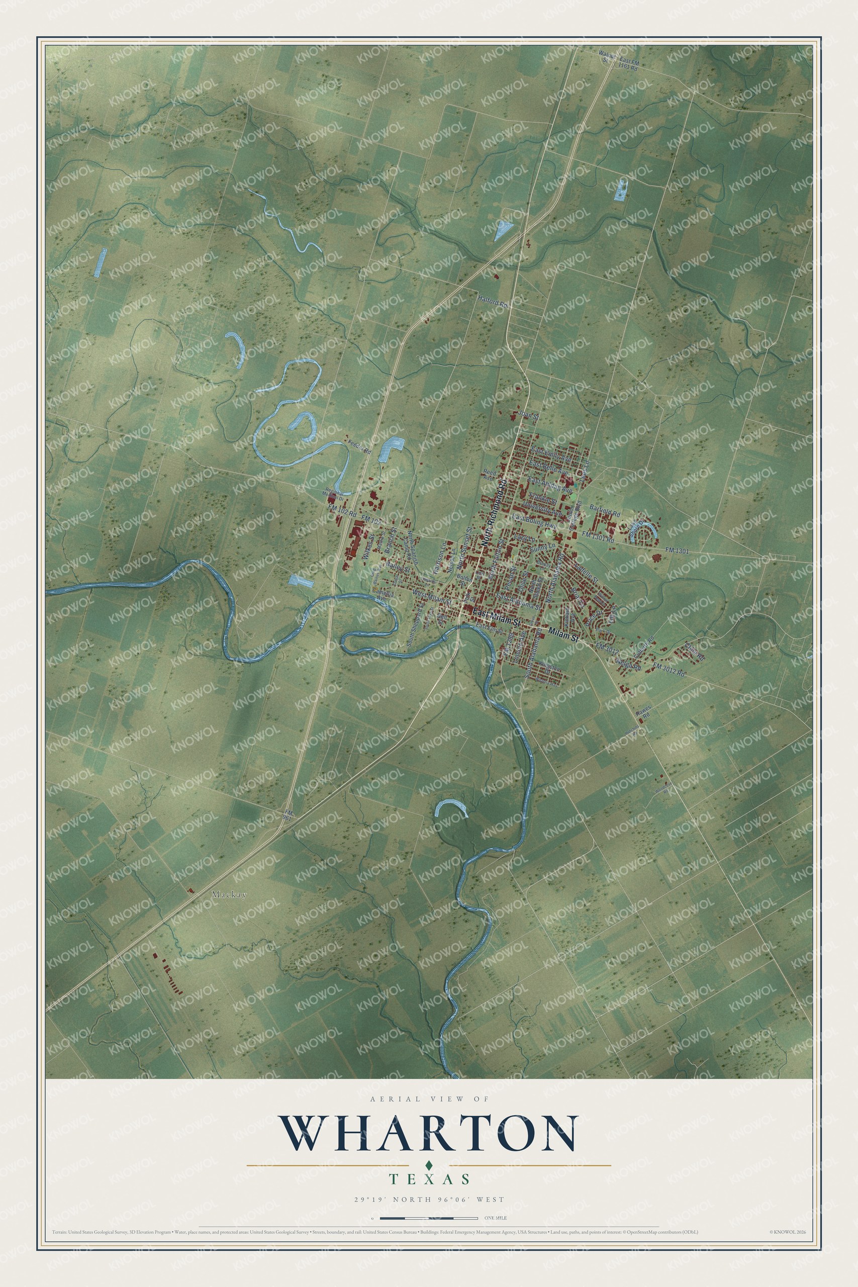
This beautifully detailed map of Wharton, Texas was created in 2026 using aerial imagery combined with modern topographical, census, street and landmark data. It’s a one-of-a-kind view of Wharton that combines accurate data with a vintage aesthetic. The map shows every building in its true location, many of the roads carry their names, and the shaded topographic relief shows the shape of the land.
Explore an aerial view of Wharton, Texas
On the map you’ll find Mackay, along with North Richmond Road, Milam Street, East Milam Street, South Alabama Road, North Alabama Road, West Milam Street, North Fulton Street, Lees Lane, North Resident Street, FM 3012, South East Avenue, and more. If you look closely you can even find your house accurately drawn in its correct location. Zoom in on the preview to look for yours.
Did you know this piece of Wharton, Texas history?
From the Handbook of Texas: "The New York, Texas and Mexican Railway was the first railroad to arrive at Wharton in 1881, followed by the Gulf, Colorado and Santa Fe in 1899."
Take a closer look at the Wharton map
Street and place names on the Wharton, Texas map
These names are printed on the map of Wharton, Texas.
Places: Mackay.
Streets and roads: North Richmond Road, Milam Street, East Milam Street, West Milam Street, South Alabama Road, North Alabama Road, North Fulton Street, Lees Lane, East Ahldag Avenue, East Boling Highway, FM 3012, FM 1299.
More street names, A to Z
Bailey Street, Barfield Road, Bell Street, Bolton Street, Branch Street, Breezy Lane, Briar Lane, Camellia Avenue, Cline Road, Cutbirth Road, East Alabama Street, East Belle Avenue, East Elm Street, East Emily Avenue, East FM 1161 Road, Edwards Lane, Feeder Road, FM 102, FM 102 Road, FM 961, FM 1301, FM 1301 Road, FM 3012 Road, Frankie Street, Greg Baines Way, Grove Street, Halford Road, Harrison Lane, Hawes Road, Hutchins Road, Joan Street, Junior College Boulevard, Kingston Drive, Kinkaid Avenue, Ladelle Street, Lake Shore Drive, Lazy Lane, Lily Lane, Lincoln Avenue, Linn Street, Mattie Street, Nelga Road, Nelson Lane, North Spanish Camp Road, North Speed Street, North Sunset Street, Olive Street, Outlar Street, Park Drive, Pecan Street, Polk Street, Price Drive, Reed Avenue, Regional Medical Drive, South Ford Street, South Sheppard Street, Sunny Lane, University Avenue, Walnut Street, Wilkes Street, Willow Bend Drive, Wisteria Way, Woodcove Road.
See the Wharton, Texas map on a wall
The Wharton map as an 18 x 24 inch print in a black frame.

This beautifully detailed map of Wharton makes an attractive addition to your office, library, or den, and it can even be used to teach children the geography and history of the area. It also makes a great gift for anyone who grew up in Wharton or moved away. When you’re done exploring, click here to get your copy of the Wharton map.