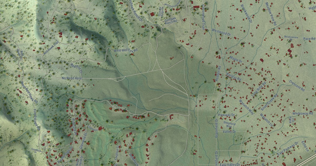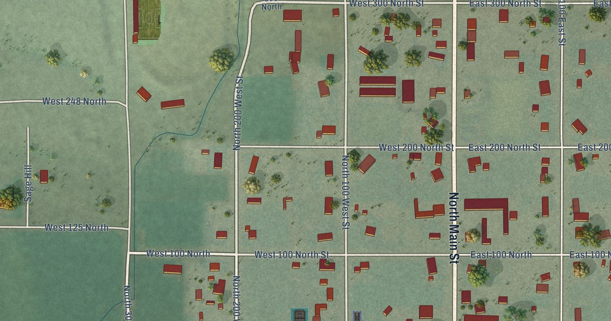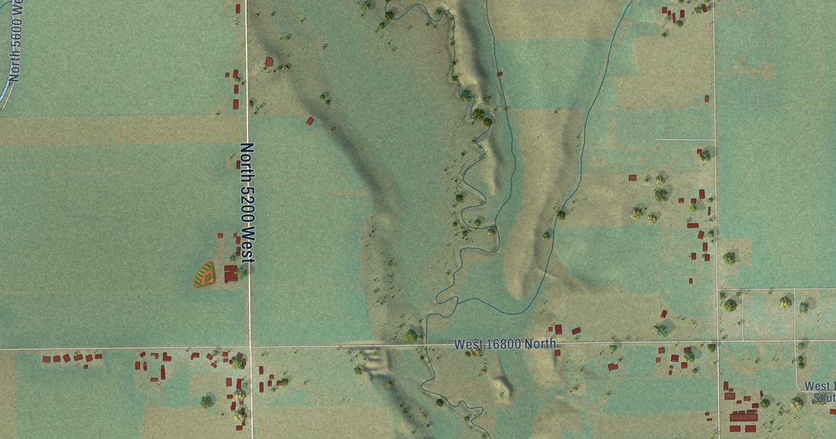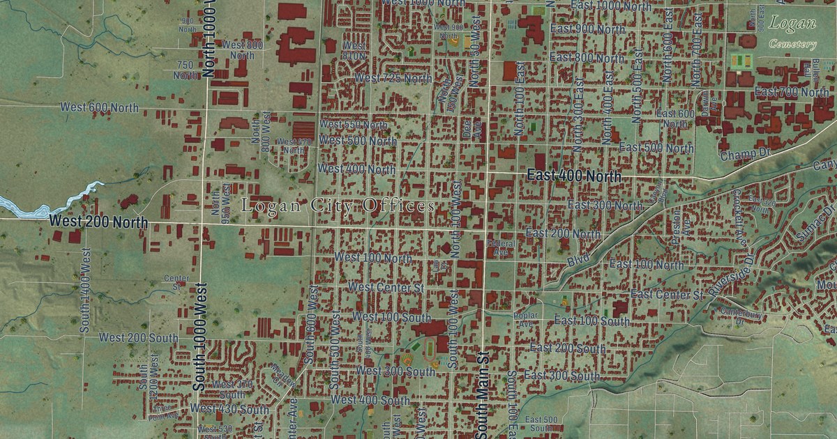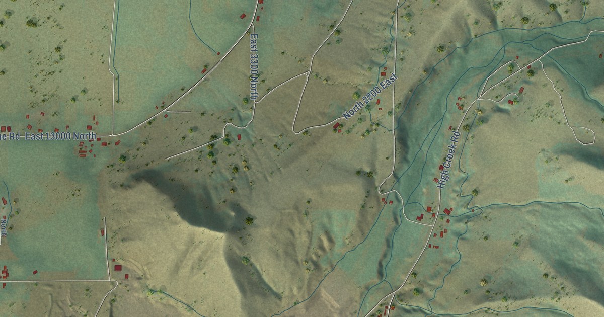
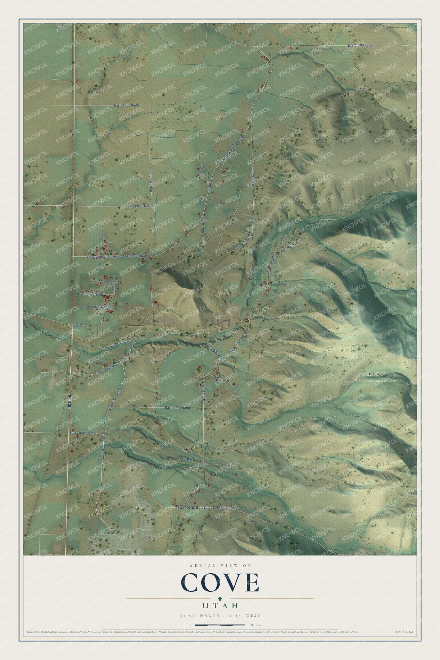
This beautifully detailed map of Cove, Utah was created in 2026 using aerial imagery combined with modern topographical, census, street and landmark data. It's a modern aerial view of Cove in Cache County, Utah, that combines modern data with a vintage aesthetic. The roads feature printed names, and if you look closely you can find your exact house accurately shown in its correct location.
Explore an aerial view of Cove, Utah
On this map you'll find Oxkiller Wildlife Management Area, 900 East, High Creek Road, Lower Richmond Road, 1100 East, North 1400 East, East 12300 North, East 13000 North, East Mountain Home Road, North 1600 East, East 14200 North, 2000E, and more. Each red shape is a building, so zoom in on the preview and look for yours.
Here is a piece of Cove history. In 1863 Goudy Hogan moved his house from Richmond to land near the mill built on High Creek the year before, and he became one of the first settlers of Cove. The settlement sat in a sheltered spot and was first called Coveville. That's from the Utah Place Names book by John W. Van Cott.
Cove is a community in Cache County. The Census Bureau counted 494 people here in 2020.
Take a closer look at the Cove map
Names on this map
These names are printed on this map.
Places: Oxkiller Wildlife Management Area.
Streets and roads: 900 East, High Creek Road, Lower Richmond Road, 1100 East, North 1400 East, East 12300 North, East 13000 North, East Mountain Home Road, North 1600 East, East 14200 North, North Mountain Home Road, North 2400 East.
More street names, A to Z
East 500 North, East 3300 North, East 11000 North, East 11600 North, East 11800 North, East 12100 North, East 12400 North, East 12600 North, East 12700 North, East 12800 North, East 13400 North, East 14700 North, Leasure, Maple Leaf, North 1200 East, North 1300 East, North 2000 East, North 2100 East, North 2200 East, North Meadow Lane East, North State Street, Upper Richmond Road.
See it on a wall
The Cove map as a framed print. Swipe for more.


Created by KNOWOL in 2026. The buildings are small red shapes, the roads carry their printed names, and shaded relief shows the shape of the land. The title panel reads "AERIAL VIEW OF COVE, UTAH" with 41°58' NORTH 111°47' WEST.
It suits a den, a classroom or a front hall, and it makes a gift for anyone with Cove roots. Open the preview and find the block you know. See sizes and frames for the Cove map.