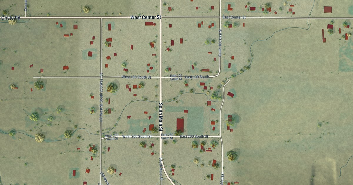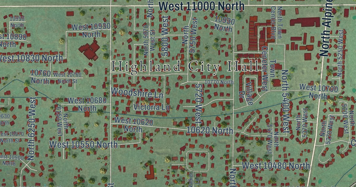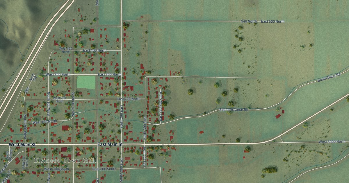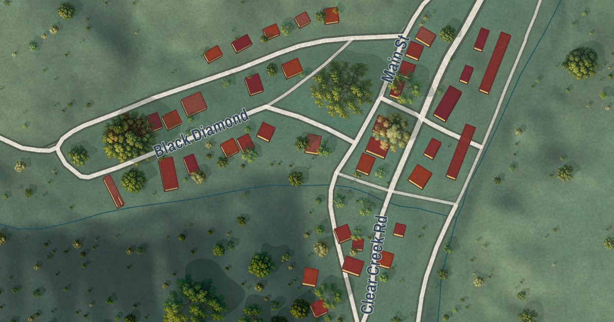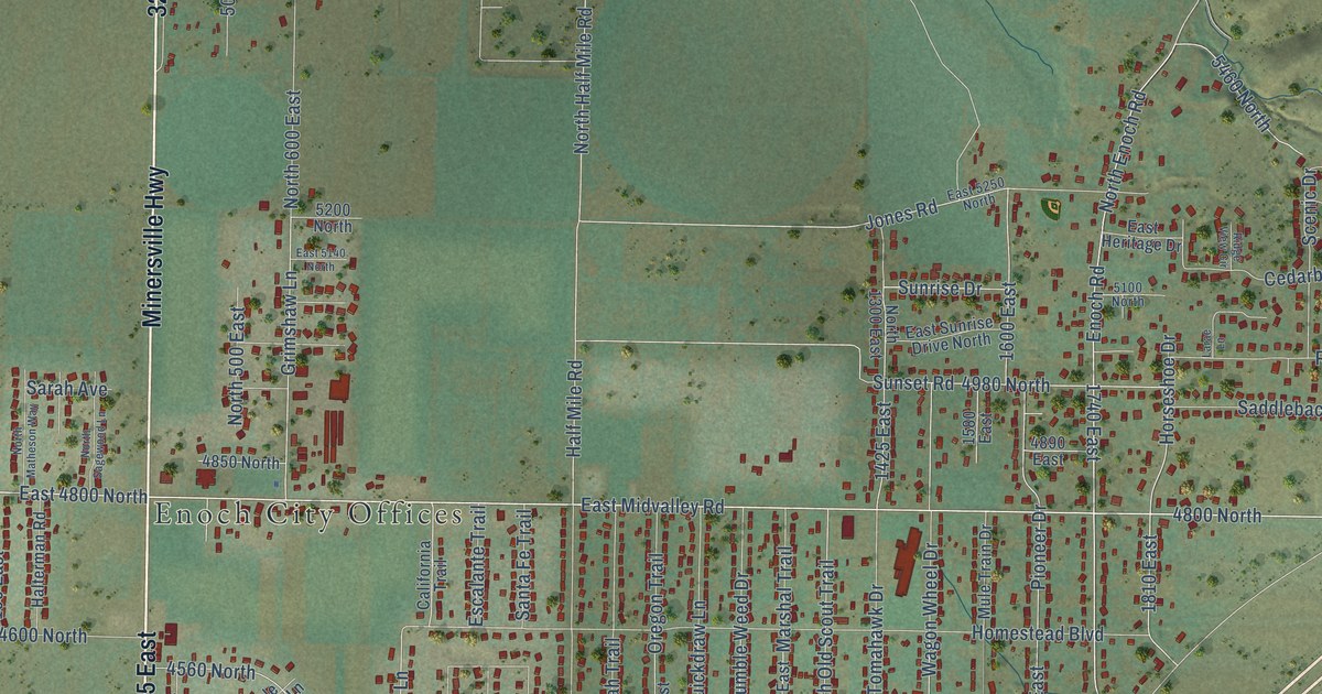
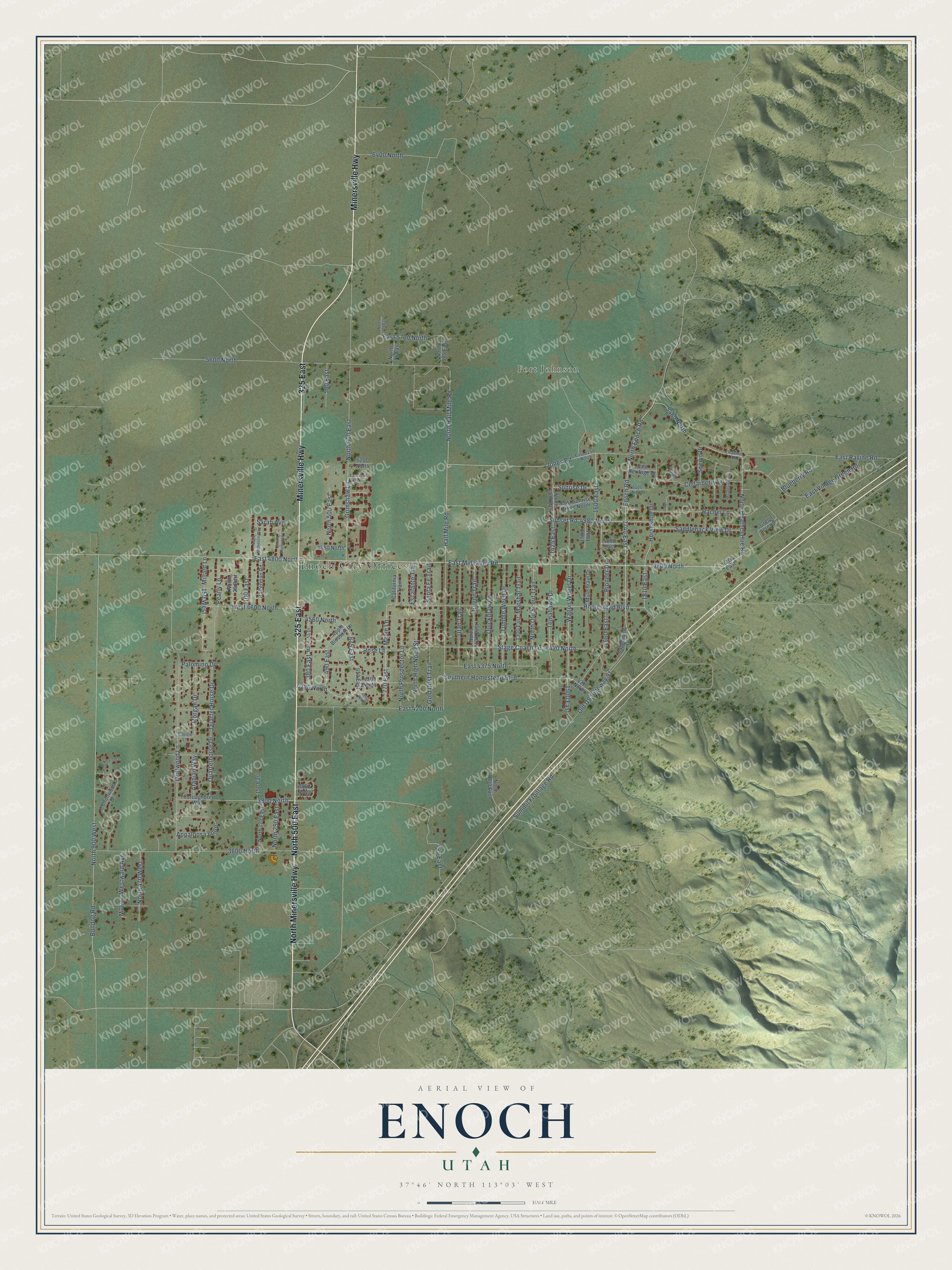
This beautifully detailed map of Enoch, Utah was created in 2026 using aerial imagery combined with modern topographical, census, street and landmark data. It’s a one-of-a-kind view of Enoch that combines accurate data with a vintage aesthetic. The map shows every building in its true location, many of the roads carry their names, and the shaded topographic relief shows the shape of the land.
Explore an aerial view of Enoch, Utah
On the map you’ll find Enoch City Offices, Fort Johnson, North 500 East, 325 East, 4800 North, East 4800 North, and 5460 North, along with Minersville Highway, North Minersville Highway, North Heather Hue Road, East Midvalley Road, North Enoch Road, and more. If you look closely you can even find your house accurately drawn in its correct location. Zoom in on the preview to look for yours.
Did you know this piece of Enoch, Utah history?
From the Utah Division of State History: "The area was known as Johnson’s ranch or Johnson’s Springs, and was briefly abandoned in 1853 by the seven families who settled there due to concerns of conflict with the local Indians."
Take a closer look at the Enoch map
Street and place names on the Enoch, Utah map
These names are printed on the map of Enoch, Utah.
Places: Enoch City Offices and Fort Johnson.
Streets and roads: Minersville Highway, North 500 East, North Minersville Highway, 325 East, 4800 North, North Heather Hue Road, East Midvalley Road, East 4800 North, 5460 North, North Enoch Road, Enoch Road, 4280 North.
More street names, A to Z
100 East, 150 East, 150 West, 380 East, 490 East, 500 East, 650 East, 675 East, 770 East, 940 East, 1300 East, 1425 East, 1500 East, 1580 East, 1600 East, 1660 East, 1740 East, 1810 East, 3600 North, 3800 North, 3860 North, 4260 North, 4270 East, 4300 North, 4310 North, 4420 North, 4560 North, 4850 North, 4890 East, 4980 North, 5100 North, 5200 North, 5600 North, 6400 North, Appaloosa Loop, Apple Blossom Lane, Arabian Way, Blueberry Road, Bulldog Road, California Trail, Cedarberry Lane, Cottonwood Drive, Driftwood Lane, East 4200 North, East 4375 North, East 5140 North, East 5250 North, East 5700 North, East Heritage Drive, East Ravine Road, East Sunrise Drive North, East Village Green Road, Escalante Trail, Gold Dust Trail, Green Acres Circle, Grimshaw Lane, Half Mile Road, Halterman Road, Hampshire Drive, Homestead Boulevard, Horseshoe Drive, Jones Road, Larae Lane, Magnolia Drive, Maple Lane, Marshal Trail, Millard Lane, Morgan Drive, Mountain View Circle, Mule Train Drive, North 25 East, North 170 East, North 250 East, North 470 West, North 600 East, North 700 East, North 775 East, North 900 West, North 975 East, North 1000 East, North 1120 East, North 1300 East, North Half Mile Road, North High Noon Street, North Matheson Way, North Old Scout Trail, North Prospector Lane, North Sagewood Lane, Old US Highway 91, Oregon Trail, Palomino Drive, Pearly Lane, Pioneer Drive, Quarter Horse Drive, Quarterhorse Drive, Quickdraw Lane, Rachel Lane, Ravine Road, Ridge View Circle, Rose Lane, Saddleback View Drive, Sagebrush Drive, Santa Fe Trail, Sarah Avenue, Scenic Drive, Sheltie Lane, Southern Homestead Boulevard, Stage Coach Lane, Summit Frontage Road, Sunrise Drive, Sunset Road, Thoroughbred Way, Tomahawk Drive, Tumble Weed Drive, Utah Trail, Wagon Wheel Drive, West 4600 North, Westward Avenue.
See the Enoch, Utah map on a wall
The Enoch map as an 18 x 24 inch print in a black frame.

This beautifully detailed map of Enoch makes an attractive addition to your office, library, or den, and it can even be used to teach children the geography and history of the area. It also makes a great gift for someone who left Enoch and still calls it home. When you’re done exploring, click here to get your copy of the Enoch map.