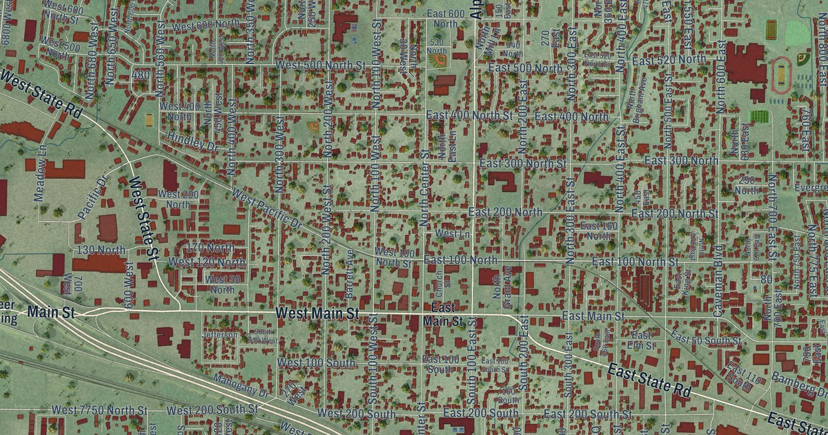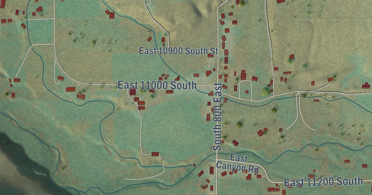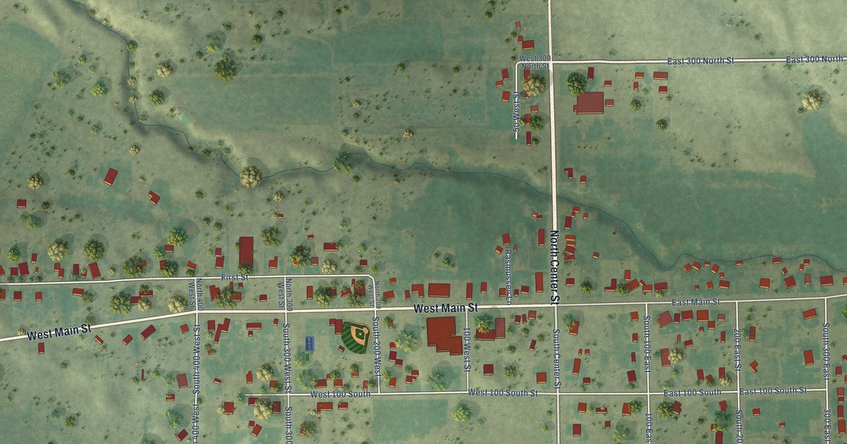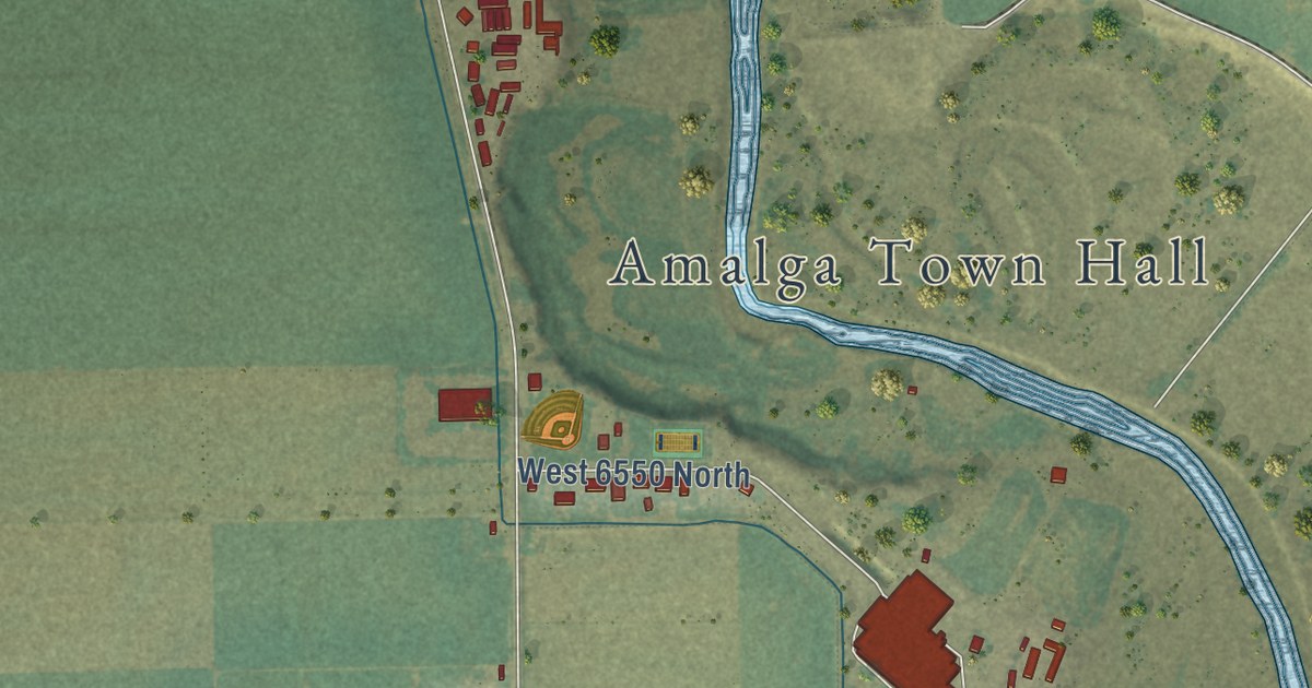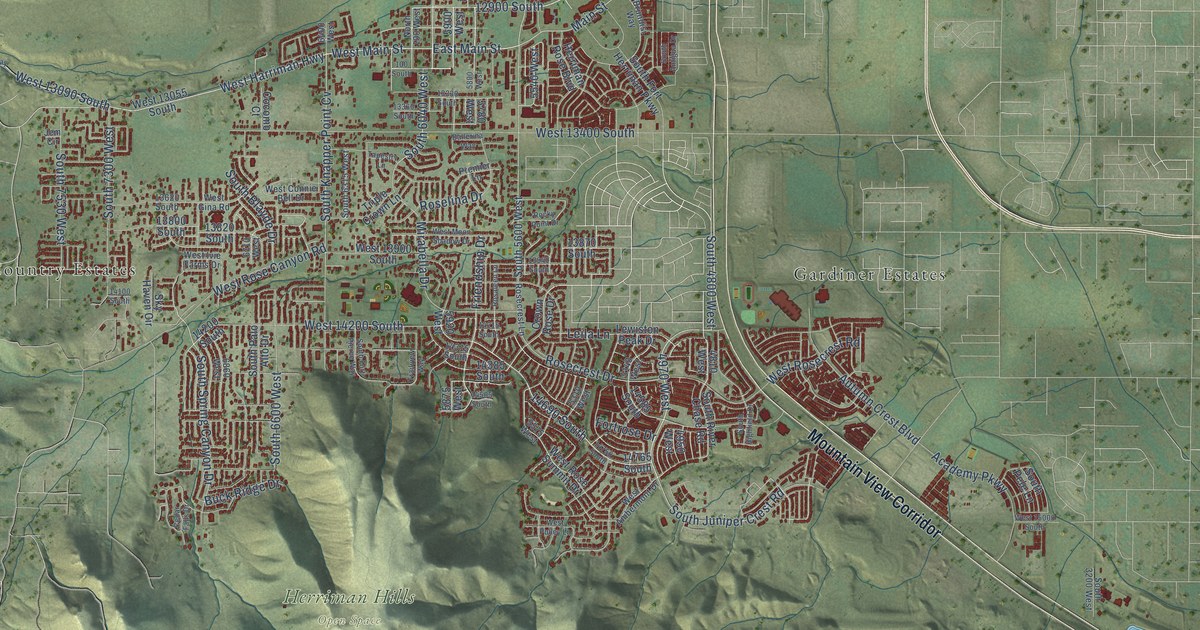
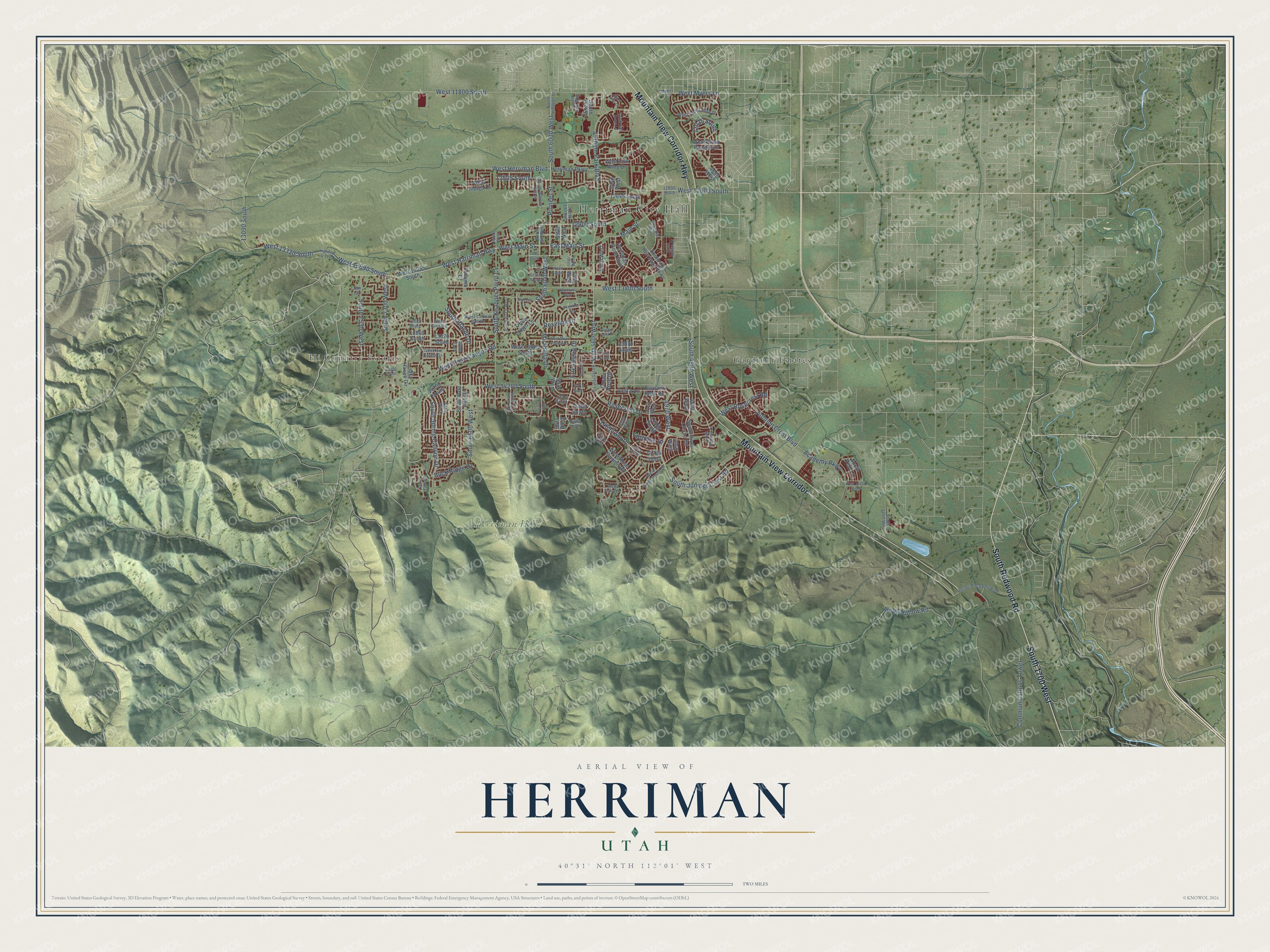
This beautifully detailed map of Herriman, Utah was created in 2026 using aerial imagery combined with modern topographical, census, street and landmark data. It’s a one-of-a-kind view of Herriman that combines accurate data with a vintage aesthetic. The map shows every building in its true location, many of the roads carry their names, and the shaded topographic relief shows the shape of the land.
Explore an aerial view of Herriman, Utah
On the map you’ll find Herriman City Hall, Herriman Hills Open Space, Gardiner Estates, Hi Country Estates, Mountain View Corridor, South 1700 West, West 11800 South, and 14690 South, along with Mountain View Corridor Highway, South Redwood Road, Anthem Park Boulevard, South Juniper Crest Road, and more. If you look closely you can even find your house accurately drawn in its correct location. Zoom in on the preview to look for yours.
Did you know this piece of Herriman, Utah history?
From OnlineUtah: "The town was first called Butterfield for Thomas Butterfield, who settled there in 1849."
Take a closer look at the Herriman map
Street and place names on the Herriman, Utah map
These names are printed on the map of Herriman, Utah.
Places: Herriman City Hall, Herriman Hills Open Space, Gardiner Estates and Hi Country Estates.
Streets and roads: Mountain View Corridor, Mountain View Corridor Highway, South 1700 West, South Redwood Road, West 11800 South, Anthem Park Boulevard, South Juniper Crest Road, 14690 South, 12900 South, 4970 West, South 4800 West, East Main Street.
More street names, A to Z
100 South, 4690 West, 4810 West, 4950 West, 5140 West, 5310 West, 5440 West, 5540 West, 5575 West, 5780 West, 5800 West, 5875 West, 5900 West, 5920 West, 6400 West, 6710 West, 6860 West, 12025 South, 12505 South, 12600 South, 12645 South, 13090 South, 13330 South, 13360 South, 13620 South, 13800 South, 13820 South, 13870 South, 13940 South, 14100 South, 14200 South, 14215 South, 14315 South, 14385 South, 14505 South, 14585 South, 14750 South, 14765 South, Academy Parkway, Autumn Crest Boulevard, Ballerina Way, Black Hills Lane, Brundisi Way, Buck Ridge Drive, Cedar Falls Drive, Cocomo Court, Communications Tower, Crown Rose Drive, Fortrose Drive, Friendship Drive, Herriman Parkway, Herriman Rose Boulevard, Highway U-111, Jem Circle, Leila Lane, Lewiston Peak Drive, Main Street, Mirabella Drive, Myers Lane, North 100 West, North 190 East, North Pioneer Street, Pioneer Street, Porter Rockwell Boulevard, Premier Lane, Rocky Point Drive, Rosaleen Lane, Rosecrest Drive, Rosecrest Lane, Roselina Drive, Sky Haven Circle, South 3200 West, South 5600 West, South 6000 West, South 6040 West, South 6315 West, South 6600 West, South 7300 West, South 7530 West, South Antigua Drive, South Blayde Drive, South Bull Street, South Calf Way, South Fort Herriman Parkway, South Fort Pierce Way, South Half Dome Lane, South Highfield Drive, South Knapper Point Cv, South Palo Alto Drive, South Pele Lane, South River Chase Road, South Spring Canyon Drive, South Starlite Hill Lane, Tapestry Lane, Trailview Way, Triple Crown Lane, West 12600 South, West 13055 South, West 13090 South, West 13320 South, West 13400 South, West 13900 South, West 14200 South, West 15000 South, West Ambermont Drive, West Black Powder Drive, West Connie Bell Drive, West Emma Mine Drive, West Gina Road, West Harriman Highway, West Herriman Boulevard, West Indigo Drive, West Iron King Drive, West Ivie Farms Drive, West Main Street, West Moon Shadow Drive, West Myers Lane, West Pulley Lane, West Rose Canyon Road, West Rosecrest Road, West Rose Summit Drive, Wood Hollow Road.
See the Herriman, Utah map on a wall
The Herriman map as an 18 x 24 inch print in a black frame.

This beautifully detailed map of Herriman makes an attractive addition to your office, library, or den, and it can even be used to teach children the geography and history of the area. It also makes a great gift for anyone with Herriman roots. When you’re done exploring, click here to get your copy of the Herriman map.