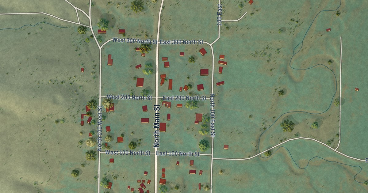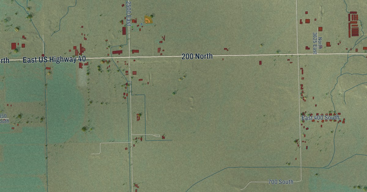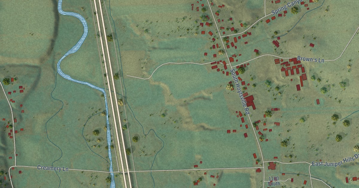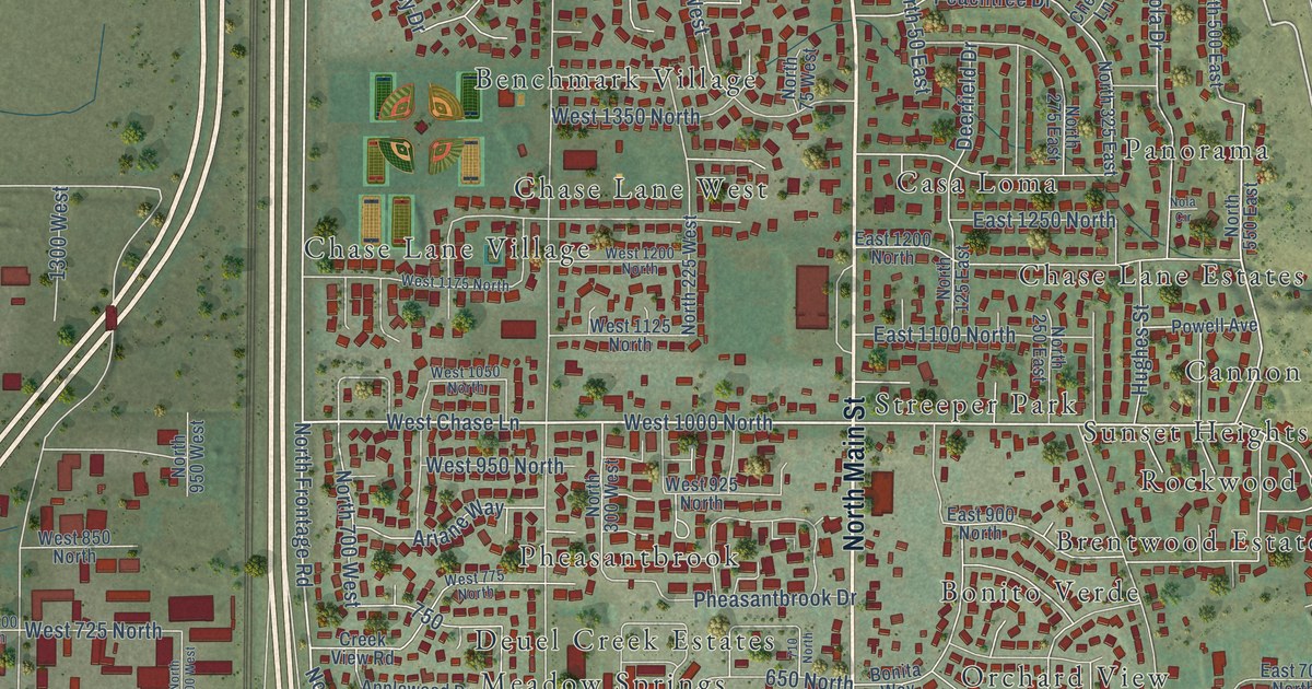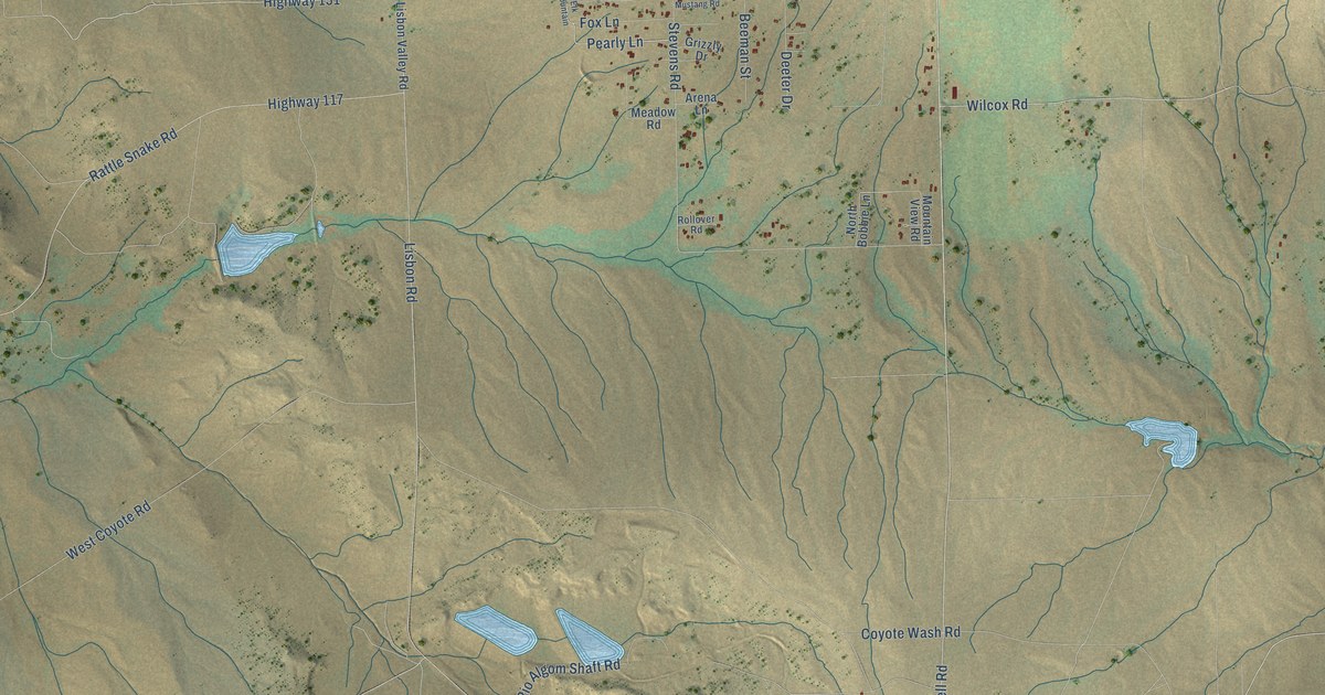
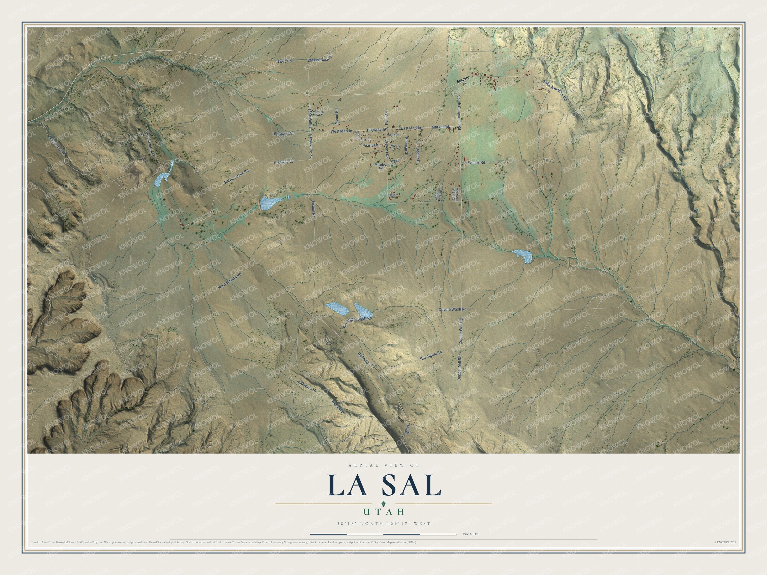
This beautifully detailed map of La Sal, Utah was created in 2026 using aerial imagery combined with modern topographical, census, street and landmark data. It's a modern aerial view of La Sal in San Juan County, Utah, that combines modern data with a vintage aesthetic. The roads feature printed names, and if you look closely you can find your exact house accurately shown in its correct location.
Explore an aerial view of La Sal, Utah
On this map you'll find East Markle, Copper Well Road, Lisbon Valley, West Markle, Lackey Basin Road, Pearly Lane, Copper Mill Road, Markle Road, Highway 149, La Sal Road, Wilcox Road, Stevens Road, and more. Each red shape is a building, so zoom in on the preview and look for yours.
La Sal has a story worth telling. Present-day La Sal was once called Coyote. Cloudburst floods kept rushing down the main street of the old cow town of La Sal, so its people packed up and moved some miles west along Coyote Creek to Coyote. They took the old name with them, and Coyote became La Sal. The old town had been settled in 1877, when Tom Ray turned his herd of shorthorns loose in a valley he liked and built a cabin for his family. That's from the Utah Division of State History.
La Sal is a community in San Juan County. The Census Bureau counted 348 people here in 2020.
Take a closer look at the La Sal map
Names on this map
These names are printed on this map.
Streets and roads: East Markle, Copper Well Road, Lisbon Valley, West Markle, Lackey Basin Road, Pearly Lane, Copper Mill Road, Markle Road, Highway 149, La Sal Road, Wilcox Road, Stevens Road.
More street names, A to Z
Arena Lane, Beeman Street, Coyote Wash Road, Deeter Drive, Elk Mountain, Fox Lane, Grizzly Drive, Hecla Road, Highway 113, Highway 116, Highway 117, Highway 151, Homestake Road, Lisbon Road, Lisbon Valley Road, Loop Road, Madison Avenue, Meadow Road, Mountain View Road, Mount Road, Mustang Road, North Bobbie Lane, Oliver Mine Road, Rattle Snake Road, Rio Algom Road, Rio Algom Shaft Road, Rollover Road, Sheperd Lane, Snow Ball Mine Road, South Coppermill Road, West Cayote Spu, West Coyote Road.
See it on a wall
The La Sal map as a framed print. Swipe for more.


Created by KNOWOL in 2026. The buildings are small red shapes, the roads carry their printed names, and shaded relief shows the shape of the land. The title panel reads "AERIAL VIEW OF LA SAL, UTAH" with 38°18' NORTH 109°17' WEST.
It looks right in a kitchen, an office or a den, and it's a gift for anyone who grew up in La Sal or moved away. Open the preview and find your street. See sizes and frames for the La Sal map.