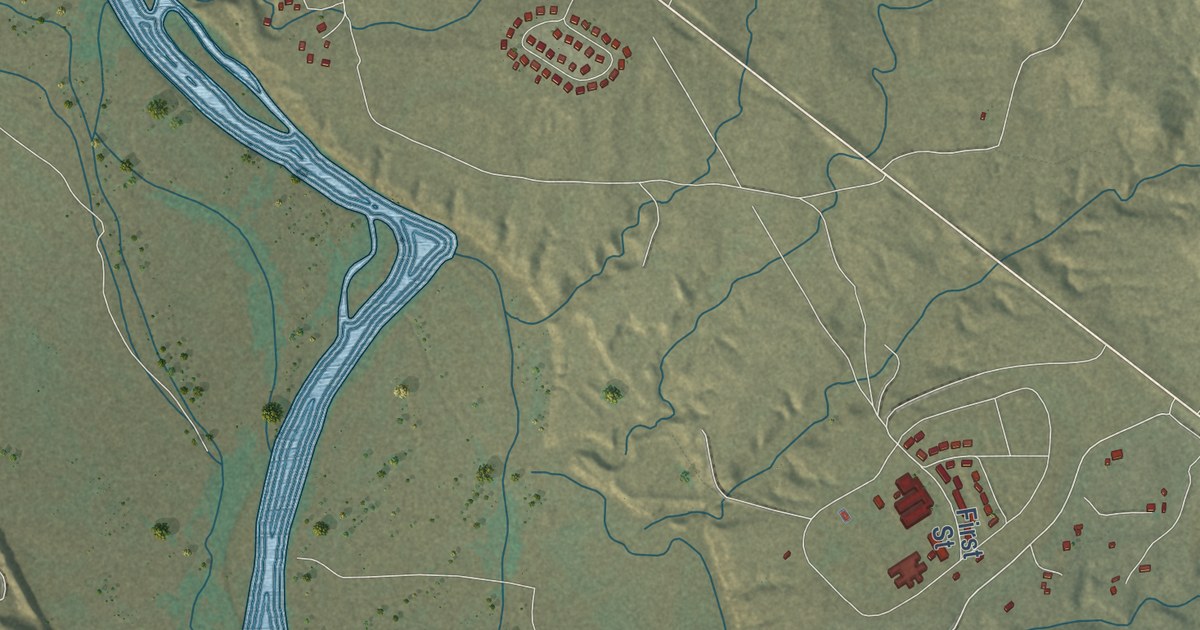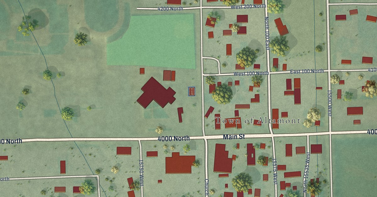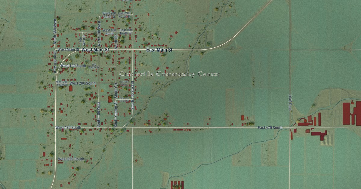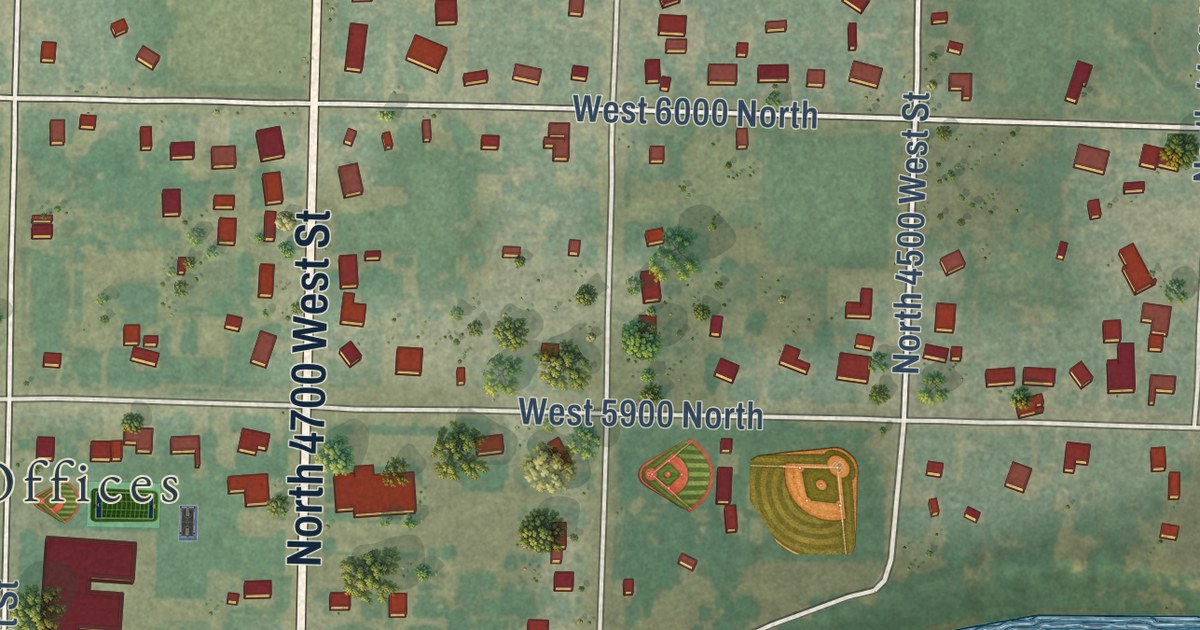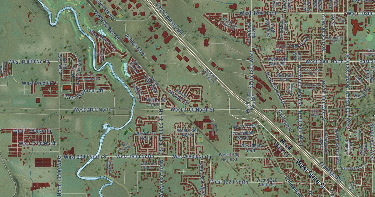
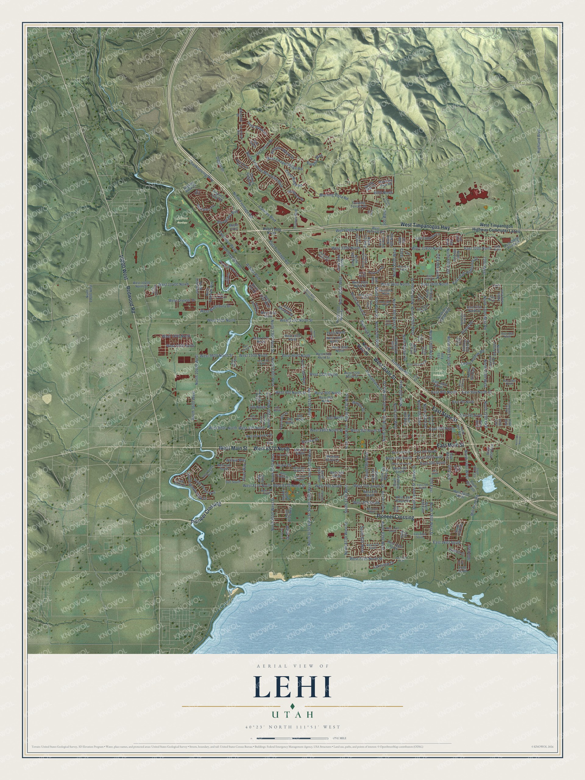
This beautifully detailed map of Lehi, Utah was created in 2026 using aerial imagery combined with modern topographical, census, street and landmark data. It’s a one-of-a-kind view of Lehi that combines accurate data with a vintage aesthetic. The map shows every building in its true location, many of the roads carry their names, and the shaded topographic relief shows the shape of the land.
Explore an aerial view of Lehi, Utah
On the map you’ll find Lehi City Hall, Ashton Gardens, Lehi Cemetery, 10800 West, West 8570 North, and Pioneer Crossing, along with West Main Street, East State Street, West State Street, Redwood Road, East Main Street, West Timpanogos Highway, and more. If you look closely you can even find your house accurately drawn in its correct location. Zoom in on the preview to look for yours.
Did you know this piece of Lehi, Utah history?
Lehi’s Utah Sugar Works began operating in 1891 after nearly a year of construction. Its factory complex represented an expenditure of five hundred thousand dollars and could employ more than three hundred workers. That’s from the Utah Chamber of Commerce.
Take a closer look at the Lehi map
Street and place names on the Lehi, Utah map
These names are printed on the map of Lehi, Utah.
Places: Lehi City Hall, Ashton Gardens and Lehi Cemetery.
Streets and roads: West Main Street, East State Street, West State Street, 10800 West, Redwood Road, West 8570 North, East Main Street, West Timpanogos Highway, Pioneer Crossing, North 8000 West, West 700 South Street, North 500 West Street.
More street names, A to Z
70 North, 100 East, 150 West, 200 West, 300 East, 300 West, 450 North, 451 East, 460 South, 475 North, 500 North, 500 West, 600 East, 600 North, 600 South, 620 East, 640 West, 700 North, 730 East, 750 East, 750 West, 900 East, 1100 East, 1410 East, 1580 East, 1870 North, 2070 North, 2100 South, 2375 North, 2375 West, 2500 West, 2750 North, 3200 North, 3420 North, 4050 North, 7200 West, 7600 West, Airport Drive, Ashton Boulevard, Bay Circle, Bluegrass Boulevard, Brooke Street, Cabelas Boulevard, Canyon Hills Road, Carter Drive, Cedar Hollow Road, Center Street, Chapel Ridge Road, Chestnut Street, Crest, Crest Ridge Road, Damie Lane, Desert Forest Lane, Digital Drive, Eagle, East 100 South, East 200 South, East 300 North, East 300 South, East 500 North, East 700 South, East 760 North, East 900 North, East 900 North Street, East 1000 North, East 1060 North, East 1450 North, East 1500 South, East 1630 South, East 1860 North, East 2200 North, East 2250 North Street, East 2600 North, East 3200 North, East Center Pointe Drive, East Clubview Lane, East Frontage Road, East Lindy Drive, East Utah Highlands Drive, Evans Street, Executive Parkway, Fox Canyon Road, Fox Hollow Way, Frontage Road, Gander Way, Grays Drive, Grey Hawk Drive, Highland Boulevard, Kensington Drive, Lakeview Drive, Maple Loop, Meadow Brook Lane, Mill Pond Road, Morning Vista Road, Mountain View Road, Newland Loop, North 90 East, North 100 East, North 100 West, North 110 East, North 180 East, North 200 East, North 200 West, North 300 East, North 300 East Street, North 300 West, North 300 West Street, North 400 East, North 425 West, North 500 West, North 560 West, North 600 East, North 600 East Street, North 600 West, North 600 West Street, North 700 East, North 700 West, North 750 East, North 775 West, North 790 East, North 825 East Street, North 850 East, North 900 West, North 900 West Street, North 940 East, North 980 West, North 1100 West, North 1200 East, North 1200 West, North 1200 West Street, North 1300 East, North 1400 East, North 1450 East, North 1450 West, North 1580 West, North 1800 West, North 2200 West, North 2300 West, North 2300 West Street, North 2350 West, North 2550 West, North 2600 West, North 2950 West, North 3550 West, North 3600 West, North 7200 West, North 7200 West Road, North 7400 West, North 7800 West, North 7800 West Street, North 8170 West, North 8200 West, North 8350 West, North 8730 West, North 8730 West Street, North 8800 West, North 9150 West, North 9150 West Street, North 9550 West, North 9550 West Street, North 10400 West, North 11600 West, North Center Street, North Dry Creek Way, North Elm Drive, North Frontage Road, North Garden Drive, North Holbrook Way, North Lake Road, North Meadow View Drive, North Nuttall Drive, North State Street, North Sunset Drive, North Traverse Mountain Boulevard, North West Frontage Road, Oak Crest Drive, Parkview Drive, Pheasant Pointe Drive, Pilgrim's Loop Road, Pilgrims Rock Cv, Pointe Meadow Drive, Railroad Street, Red Robin, River Way, Sandhill Court, South 200 East, South 300 West, South 500 West Street, South 640 West, South 740 East, South 780 West, South 825 West, South 850 East, South 1000 East, South 1100 West, South 1350 East, South 1500 West, South 1580 West, South 1600 West, South 1700 West, South 2035 West, South Center Street, South Jordan Way, South Willow Park Drive, Spring Dew Lane, Summer Crest Drive, Tamarak Circle, Thanksgiving Way, Traverse Terrace Drive, Trinnaman Lane, Triumph Boulevard, Turnberry Lane, Vialetto Way, West 80 South, West 100 South, West 200 South, West 300 North, West 300 North Street, West 300 South, West 340 South, West 400 South, West 400 South Street, West 525 South, West 700 South, West 780 South, West 800 North, West 810 South, West 900 North, West 900 North Street, West 975 South, West 1100 South, West 1220 North, West 1220 North Street, West 1400 North, West 1425 South, West 1500 North, West 1500 North Street, West 1600 North, West 1620 South, West 1675 South, West 1700 North, West 1775 North, West 1800 North, West 1835 North, West 1850 North, West 2100 North, West 2100 North Street, West 2150 North, West 2280 North, West 2400 North, West 2450 North, West 2550 North, West 2600 North, West 2600 North Street, West 2875 North, West 3200 North, West 3400 North, West 7350 North, West 7350 North Street, West 8020 North, West 8170 North, West 8170 North Street, West 8800 North, West 8800 North Street, West 9600 North, West 9600 North Street, West 10400 North, West 10400 North Street, West 10800 North, West 11000 North, West Bluestem Drive, West Bullriver Road, West Chapel Ridge Road, West Cramden Drive, West Dapple Drive, West Drexler Drive, West Lehi Ranch Road, West Osier Avenue, West Parkside Drive, West Shady Bend Lane, West Snow Spring Drive, West Timpanogos Highway Commuter Lanes, West Waterbury Drive, West Willow Reed, Whisper Wood Drive, White Street, Willow Haven Avenue, Willow Way, Woods Drive, Woodview Drive.
See the Lehi, Utah map on a wall
The Lehi map as an 18 x 24 inch print in a black frame.

This beautifully detailed map of Lehi makes an attractive addition to your office, library, or den, and it can even be used to teach children the geography and history of the area. It also makes a great gift for someone who left Lehi and still calls it home. When you’re done exploring, click here to get your copy of the Lehi map.