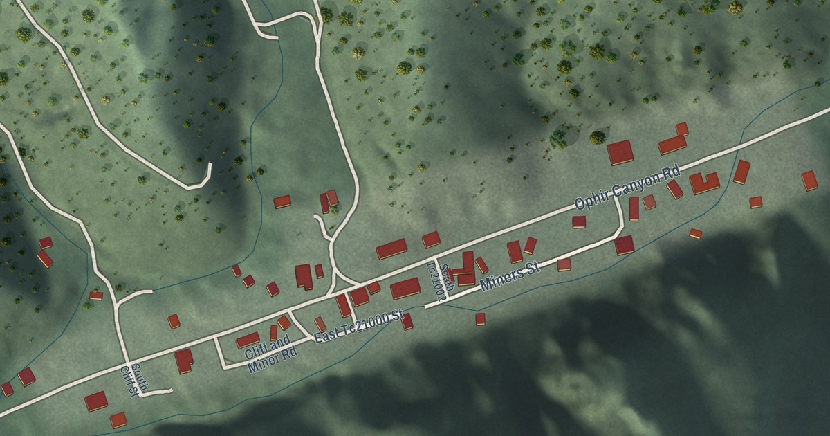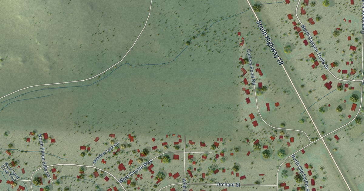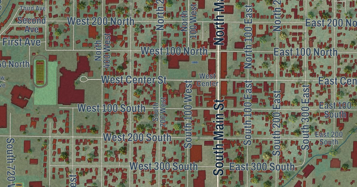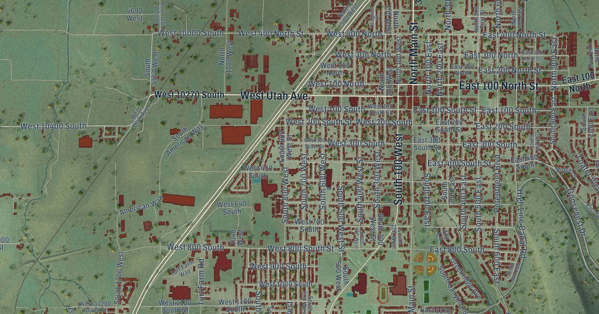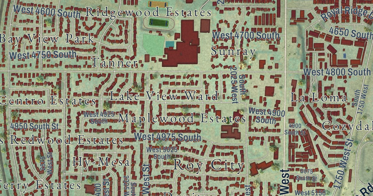
This beautifully detailed map of Roy, Utah was created in 2026 using aerial imagery combined with modern topographical, census, street and landmark data. It’s a one-of-a-kind view of Roy that combines accurate data with a vintage aesthetic. The map shows every building in its true location, many of the roads carry their names, and the shaded topographic relief shows the shape of the land.
Explore an aerial view of Roy, Utah
On the map you’ll find Roy City, Kingsville Junction, Emma Russell Park, Aland of Honey, Allred, Arsenal Villa, Arthur Jones Estate, Barton, Bay View Park, Bel Air, Berrett, Brownscott Manor, and more. If you look closely you can even find your house accurately drawn in its correct location. Zoom in on the preview to look for yours.
Did you know this piece of Roy, Utah history?
From OnlineUtah: "Roy was settled in 1873, twenty-five years after Ogden, and most of the surrounding communities had been settled prior to that time."
Take a closer look at the Roy map
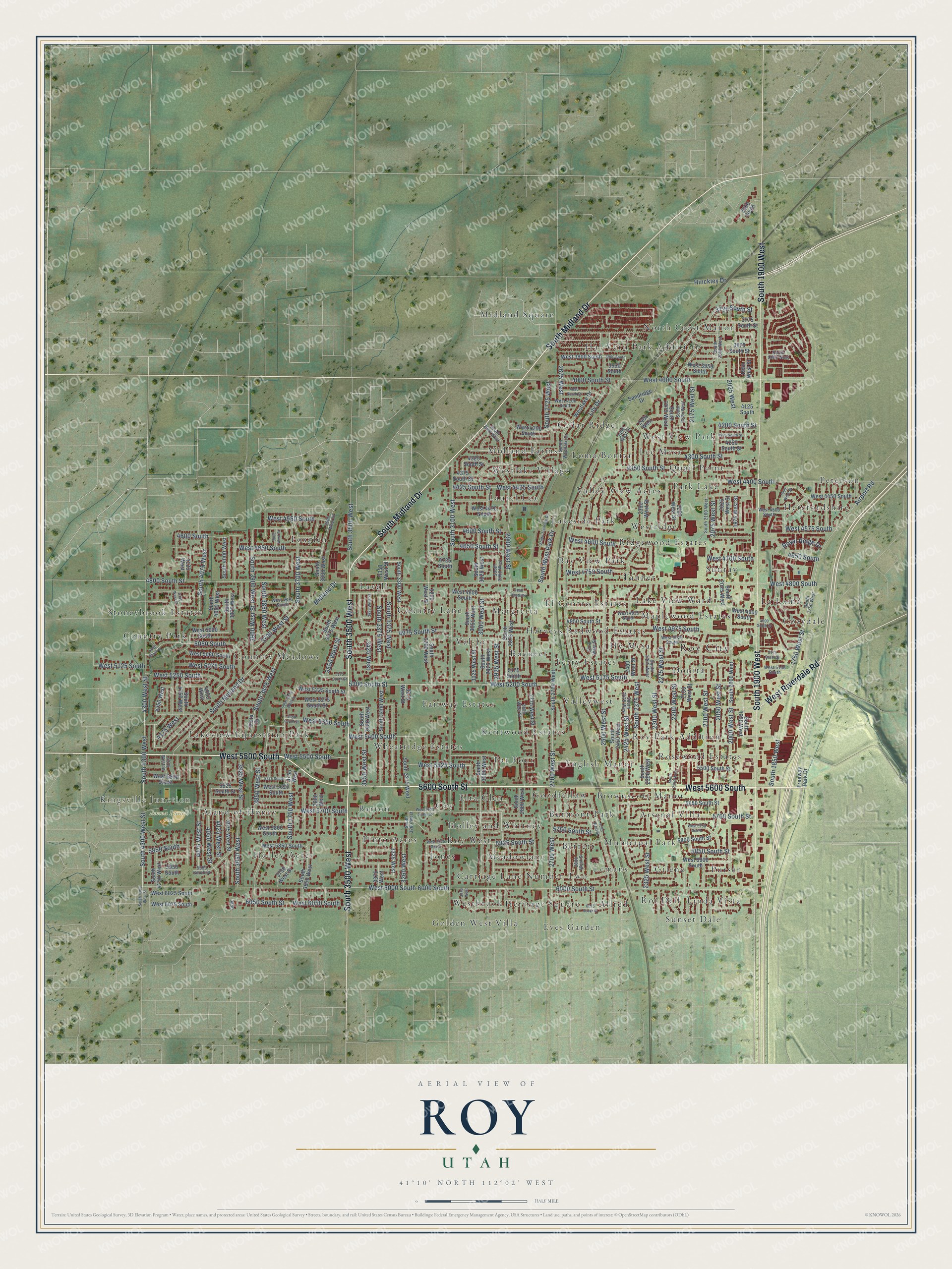
Street and place names on the Roy, Utah map
These names are printed on the map of Roy, Utah.
Places: Roy City, Kingsville Junction, Emma Russell Park, North Crest Manor, Linda Vista, Foxglen, Country Park, Lee Mesa, Jones, Rosewood Estates, Midland Farms, Fairway Estates, Peterson, Midland Square, Margretta, Elta Glen, Arsenal Villa, Allred, Lakeview Equestrian Park, Valley View Acres, Bay View Park, Herefordshire, Val-Jo, Donita, Burmont Park, Country Meadows, Eves Garden, Cozydale, Holley Acres, Ridgewood Estates, West View Park, El Centro Estates, Valleywest, Hal-Vern Park Addition, English Manor, Meadowlane, Barton, Purser, Lemans, Westbrook, Laurel Lea, Lakeside Park, Terry Estates, Sunray, Lavell, Loma Bonita, Harveys Redwood Estates, Aland of Honey, Quail Point, Holley and Whitney, Par Four, Lake View Ward, Municipal Park, Kentwood Estates, Stoneybrook Estates, Maplewood Estates, Golden West Villa, Westlake Village, Roi Dell, Pinto Acres, Country Lane, Brownscott Manor, Tanner, Berrett, Carriage Lane Number Two, Hy-Mesa, Coy, Wheatridge Estates, Cedar Ridge, Goodfellow, Park Lake, Gilene, Heritage Square, Sunset Dale, La Loma, Roy Park Addition, Westridge, Roy West and Rayneer.
Streets and roads: West 5600 South, West 5500 South, South 3500 West, South 1900 West, 5600 South Street, South Midland Drive, West Riverdale Road, West 5400 South, 5050 South, West 4700 South, South 3325 West, Lily Drive.
More street names, A to Z
1750 West Street, 1800 West Street, 1950 West Street, 1975 West Street, 2000 West Street, 2025 West, 2025 West Street, 2050 West Street, 2075 West Street, 2100 West Street, 2150 West Street, 2175 West Street, 2200 West Street, 2250 West Street, 2275 West Street, 2300 West Street, 2325 West Street, 2350 West Street, 2400 West, 2400 West Street, 2425 West Street, 2450 West Street, 2500 West Street, 2550 West Street, 2575 West Street, 2600 West Street, 2675 West, 2700 West, 2700 West Street, 2775 West Street, 2800 West Street, 2900 West Street, 2925 West Street, 3000 West Street, 3025 West Street, 3050 West, 3200 West Street, 3260 West, 3275 West Street, 3325 West, 3350 South, 3350 West Street, 3375 West, 3425 West, 3425 West Street, 3450 West Street, 3550 West Street, 3600 West, 3600 West Street, 3700 West Street, 3725 South Street, 3750 West, 3750 West Street, 3775 South Street, 3800 West Street, 3850 West Street, 3875 South Street, 3900 South, 3900 West Street, 3925 West Street, 3950 South, 3975 West Street, 4000 South Street, 4025 West Street, 4050 South Street, 4050 West, 4050 West Street, 4075 West Street, 4125 South, 4125 West, 4150 West Street, 4175 West, 4200 South Street, 4225 South Street, 4225 West Street, 4250 South Street, 4250 West, 4300 South Street, 4300 West Street, 4325 South Street, 4350 South Street, 4375 South Street, 4425 South Street, 4600 South, 4600 South Street, 4650 South, 4650 South Street, 4725 South, 4800 South Street, 4850 South Street, 4900 South Street, 4950 South Street, 4975 South Street, 5050 South Street, 5075 South Street, 5175 South, 5175 South Street, 5200 South Street, 5350 South Street, 5500 South Street, 5575 South, 5625 South Street, 5650 South Street, 5700 South Street, 5750 South Street, 5800 South Street, 5825 South Street, 5850 South, 5850 South Street, 5950 South, 5950 South Street, 6000 South, 6000 South Street, 6050 South Street, 6075 South Street, Airport Road, Freeway Park Drive, Hinckley Drive, Midland Drive, Royal Ridge Drive, Sandridge Drive, South 1750 West, South 1850 West, South 1950 West, South 2000 West, South 2025 West, South 2050 West, South 2100 West, South 2200 West, South 2225 West, South 2275 West, South 2325 West, South 2350 West, South 2375 West, South 2425 West, South 2450 West, South 2700 West, South 2725 West, South 2800 West, South 2875 West, South 2900 West, South 2950 West, South 2975 West, South 3000 West, South 3025 West, South 3050 West, South 3100 West, South 3200 West, South 3260 West, South 3275 West, South 3300 West, South 3375 West, South 3400 West, South 3450 West, South 3575 West, South 3600 West, South 3650 West, South 3700 West, South 3750 West, South 3750 West Street, South 3850 West, South 3875 West, South 3900 West, South 3950 West, South 3975 West, South 4000 West, South 4050 West, South 4075 West, South 4150 West, South 4250 West, South 4300 West, South 4300 West Street, South Trailside Drive, South Westlake Drive, South West Park Drive, Vista Drive, West 3900 South, West 3950 South, West 4000 South, West 4100 South, West 4200 South, West 4400 South, West 4425 South, West 4450 South, West 4475 South, West 4500 South, West 4550 South, West 4575 South, West 4600 South, West 4650 South, West 4750 South, West 4800 South, West 4850 South, West 4875 South, West 4900 South, West 4925 South, West 4975 South, West 5000 South, West 5025 South, West 5060 South, West 5075 South, West 5125 South, West 5150 South, West 5175 South, West 5200 South, West 5225 South Street, West 5250 South, West 5275 South Street, West 5350 South, West 5525 South, West 5625 South, West 5700 South, West 5700 South Street, West 5750 South, West 5800 South, West 5825 South, West 5850 South, West 5900 South, West 6000 South, West 6025 South, West 6050 South, West 6075 South, Westlake Drive.
See the Roy, Utah map on a wall
The Roy map as an 18 x 24 inch print in a black frame.

This beautifully detailed map of Roy makes an attractive addition to your office, library, or den, and it can even be used to teach children the geography and history of the area. It also makes a great gift for anyone with Roy roots. When you’re done exploring, click here to get your copy of the Roy map.