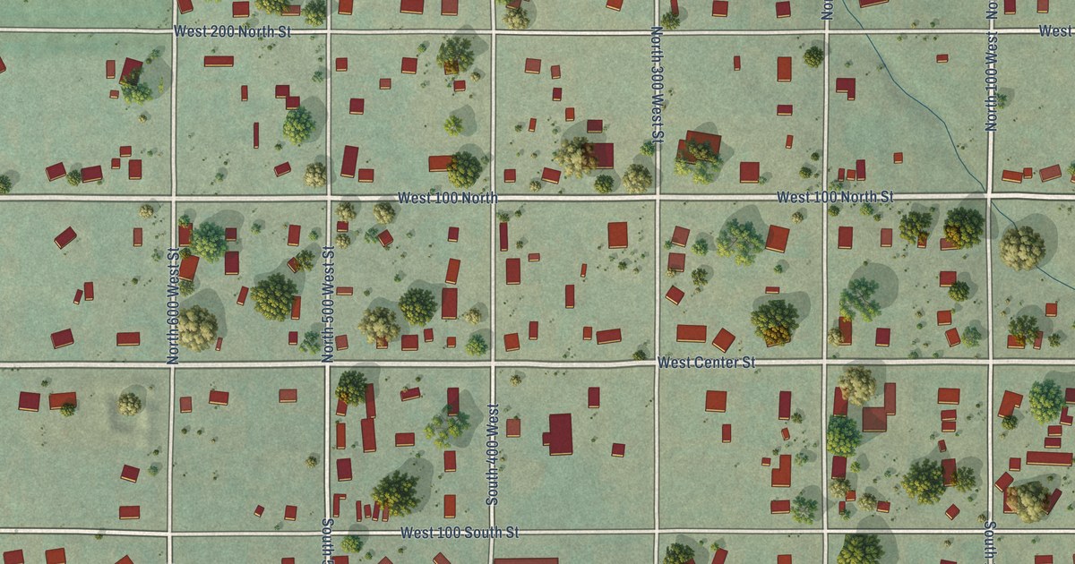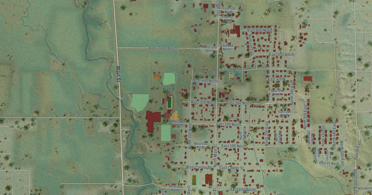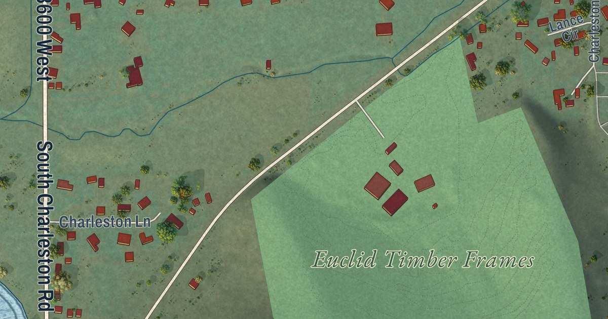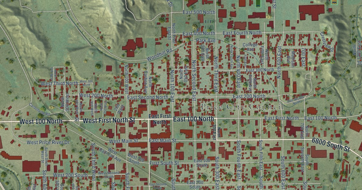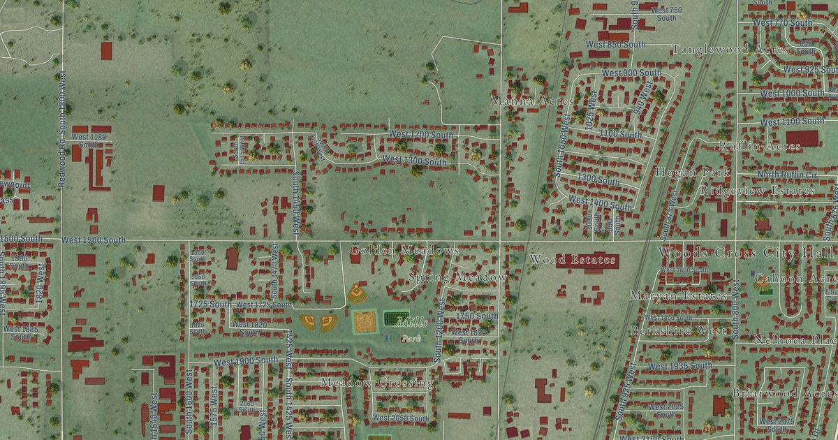
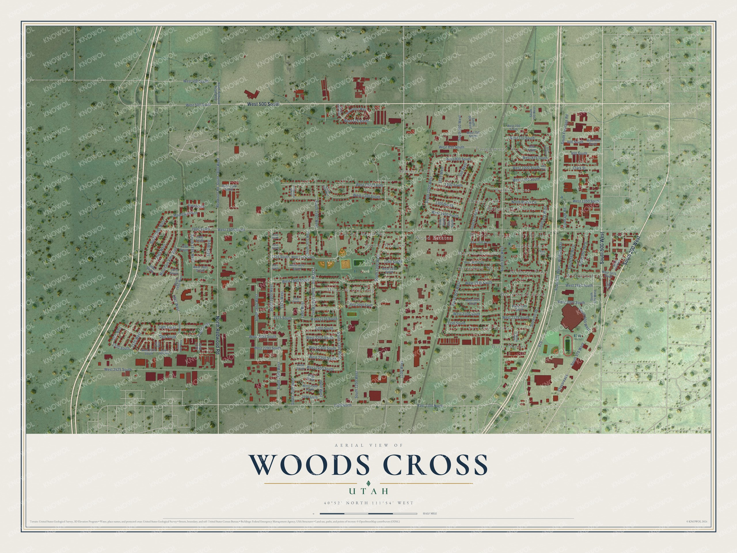
This beautifully detailed map of Woods Cross, Utah was created in 2026 using aerial imagery combined with modern topographical, census, street and landmark data. It’s a one-of-a-kind view of Woods Cross that combines accurate data with a vintage aesthetic. The map shows every building in its true location, many of the roads carry their names, and the shaded topographic relief shows the shape of the land.
Explore an aerial view of Woods Cross, Utah
On the map you’ll find Woods Cross City Hall, Mills Park, Berkshire West, Betty Manor, Briarwood Acres, Cahoon Acres, Golden Meadows, Hogan Park, Manna Acres, Maryan Estates, Meadow Crossing, Nelhoca Place, and more. If you look closely you can even find your house accurately drawn in its correct location. Zoom in on the preview to look for yours.
Did you know this piece of Woods Cross, Utah history?
From OnlineUtah: "Among the early settlers of the area was Daniel Wood, for whom Woods Cross is named."
Take a closer look at the Woods Cross map
Street and place names on the Woods Cross, Utah map
These names are printed on the map of Woods Cross, Utah.
Places: Woods Cross City Hall, Mills Park, Berkshire West, Betty Manor, Briarwood Acres, Cahoon Acres, Golden Meadows, Hogan Park, Manna Acres, Maryan Estates, Meadow Crossing, Nelhoca Place, Ridgeview Estates, Ruflin Acres, Sorrento Estates, Spring Meadow, Tanglewood Acres, Westwood and Wood Estates.
Streets and roads: South 200 West, West 500 South, South 500 West, North Redwood Road, 2260 South, East 1100 North, 2125 West, 2320 South, Wildcat Way, West 2400 South, West 2225 South, 1100 West.
More street names, A to Z
800 South, 850 South, 900 South, 940 West, 950 South, 1000 South, 1025 West, 1100 North, 1100 South, 1300 South, 1400 West, 1425 West, 1450 West, 1500 South, 1550 South, 1575 West, 1590 South, 1650 South, 1690 South, 1725 South, 1750 South, 1820 West, 1825 South, 1870 South, 1875 West, 1890 South, 1950 West, 1955 West, 2040 West, 2060 South, 2065 West, 2150 South, 2175 South, 2180 South, 2185 South, 2200 South, 2205 West, 2400 South, 2450 South, 2550 South, Alta Avenue, Clark Street, Crossroads, Ellis Circle, Frontage Road, Governors Way, Mountain Pass, Mountain View Boulevard, North Ruflin Circle, Redwood Road, Sorrento Drive, South 440 West, South 475 West, South 525 West, South 550 West, South 575 West, South 580 West, South 600 West, South 625 West, South 665 West, South 675 West, South 700 West, South 760 West, South 800 West, South 875 West, South 900 West, South 925 West, South 950 West, South 1050 West, South 1200 West, South 1250 West, South 1300 West, South 1350 West, South 1420 West, South 1425 West, South 1450 West, South 1470 West, South 1500 West, South 1515 West, South 1560 West, South 1600 West, South 1640 West, South 1800 West, South 1895 West, South 1950 West, South 1955 West, South 1980 West, South 2095 West, South Frontage Road, South Redwood Road West, Viewpoint, West 400 South, West 575 South, West 700 South, West 750 South, West 770 South, West 800 South, West 850 South, West 900 South, West 925 South, West 1000 South, West 1100 South, West 1180 South, West 1200 South, West 1300 South, West 1350 South, West 1400 South, West 1500 South, West 1600 South, West 1725 South, West 1800 South, West 1820 South, West 1850 South, West 1875 South, West 1885 South, West 1900 South, West 1935 South, West 1950 South, West 2000 South, West 2025 South, West 2050 South, West 2075 South, West 2100 South, West 2125 South, West 2175 South, West 2250 South, West 2290 South, West 2300 South, West 2315 South, West 2350 South, West 2425 South, West 2500 South.
See the Woods Cross, Utah map on a wall
The Woods Cross map as an 18 x 24 inch print in a black frame.

This beautifully detailed map of Woods Cross makes an attractive addition to your office, library, or den, and it can even be used to teach children the geography and history of the area. It also makes a great gift for anyone who grew up in Woods Cross or moved away. When you’re done exploring, click here to get your copy of the Woods Cross map.