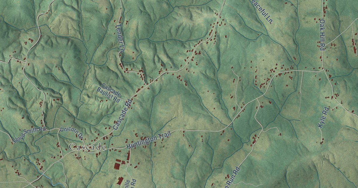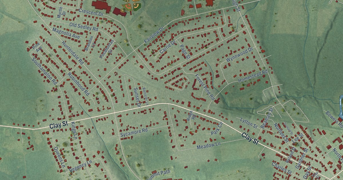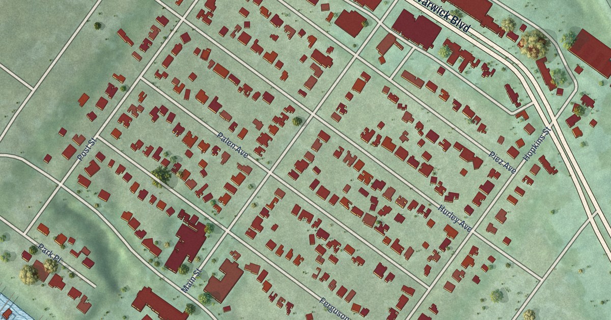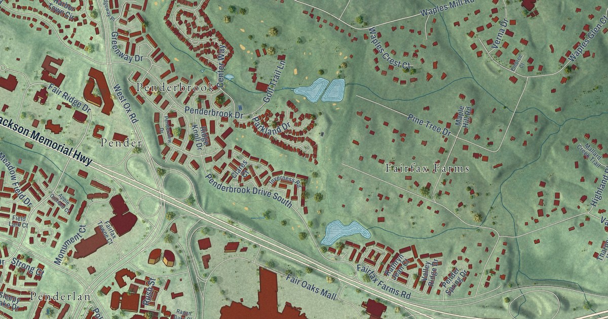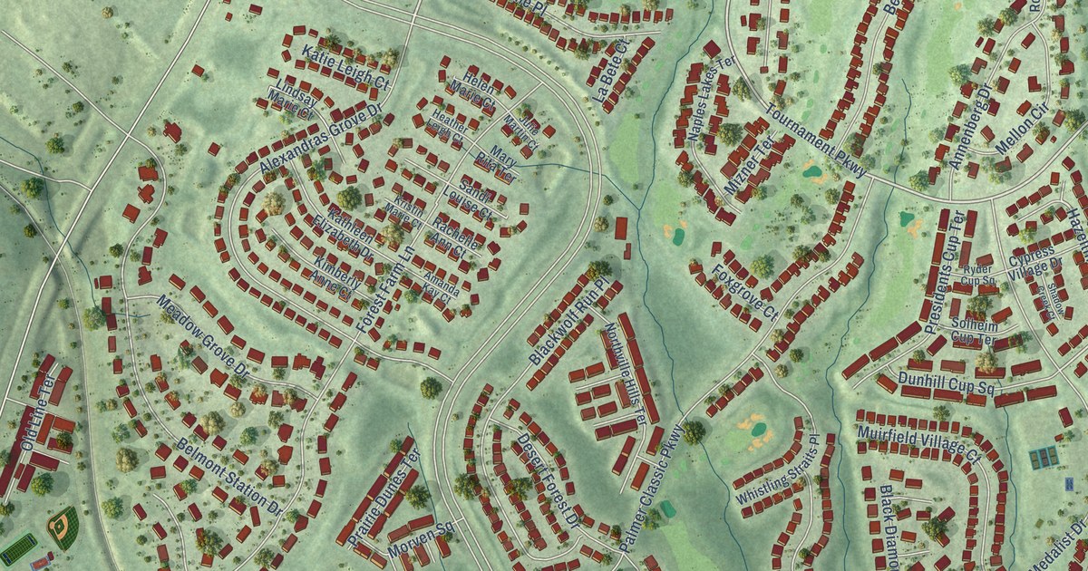
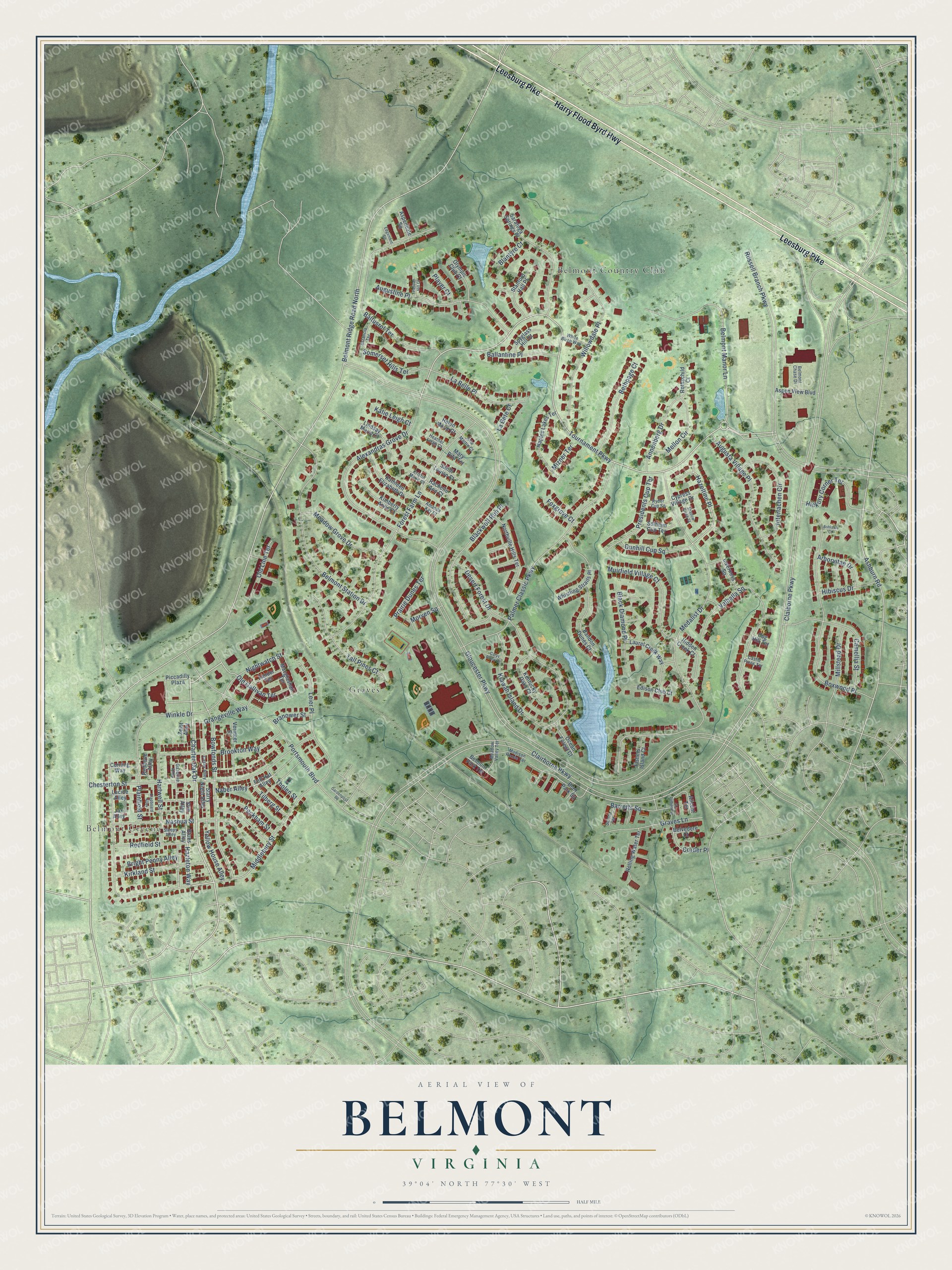
This beautifully detailed map of Belmont, Virginia was created in 2026 using aerial imagery combined with modern topographical, census, street and landmark data. It’s a one-of-a-kind view of Belmont that combines accurate data with a vintage aesthetic. The map shows every building in its true location, many of the roads carry their names, and the shaded topographic relief shows the shape of the land.
Explore an aerial view of Belmont, Virginia
On the map you’ll find Belmont Greene, Belmont Country Club, Graves, and Hazeltine Place, along with Harry Flood Byrd Highway, Leesburg Pike, Charter Oak Drive, Hazleton Way, Tournament Parkway, Bowfonds Street, Graves Lane, Claiborne Parkway, and more. If you look closely you can even find your house accurately drawn in its correct location. Zoom in on the preview to look for yours.
Did you know this piece of Belmont, Virginia history?
From Vcris.dhr.virginia.gov: "Best known for advocating the liberation of enslaved African Americans and promoting their resettlement in Liberia, Mercer also gained recognition for her book Popular Lectures on Ethics (1841)."
Take a closer look at the Belmont map
Street and place names on the Belmont, Virginia map
These names are printed on the map of Belmont, Virginia.
Places: Belmont Greene, Belmont Country Club and Graves.
Streets and roads: Harry Flood Byrd Highway, Leesburg Pike, Charter Oak Drive, Hazleton Way, Tournament Parkway, Hazeltine Place, Bowfonds Street, Graves Lane, Claiborne Parkway, Belmont Ridge Road North, Gloucester Parkway, Russell Branch Parkway.
More street names, A to Z
Alexandras Grove Drive, Alicent Terrace, Amanda Kay Court, Annenberg Drive, Arborvitae Drive, Ashburn Road, Ashlawn Court, Aspendale Square, Aspen View Boulevard, Augusta Village Place, Augustine Place, Ballantine Place, Baltusrol Terrace, Bandon Dunes Court, Barretts Square, Belmont Chase Drive, Belmont Manor Lane, Belmont Park Terrace, Belmont Station Drive, Belvedere Court, Bethpage Court, Black Diamond Place, Blackwolf Run Place, Blair Park Square, Blantyre Court, Blues Alley, Boxwood Place, Branower Street, Bright Penny Alley, Brookton Way, Camellia Street, Carys Brook Court, Casey Alley, Castle Pines Terrace, Chesterton Street, Clairborne Parkway, Clapboard Alley, Cog Hill Terrace, Corder Place, Corning Way, Cypress Village Drive, Desert Forest Drive, Dunhill Cup Square, Edgemont Square, Edison Club Court, Estancia Terrace, Felt Hat Alley, Fishers Island Court, Forest Farm Lane, Foxgrove Court, Gardenpost Square, Gasoline Alley, Grangeville Way, Hartwell Street, Heather Leigh Court, Helen Marie Court, Hibiscus Drive, Hickory Corner Terrace, Hidden Creek Court, Homeland Terrace, Interlachen Circle, Inverness Square, Jax Alley, Julie Martin Court, Kathleen Elizabeth Drive, Katie Leigh Court, Kentucky Oaks Court, Kiawah Island Drive, Kimberly Anne Court, Kirkland Street, Kristin Marie Court, La Belle Place, La Bete Court, Laurel Creek Way, Leier Place, Lindsay Marie Court, Lucille Alley, Macglashan Terrace, Madison Renee Terrace, Mary Rita Terrace, Meadow Grove Drive, Meadow Valley Terrace, Medalist Drive, Mellon Circle, Middlebury Street, Millstead Drive, Mizner Terrace, Morven Square, Muirfield Village Court, Naber Alley, Naples Lakes Terrace, Nashua Street, Nightwatch Street, Northville Hills Terrace, Ocean Forest Court, Old Gallivan Terrace, Old Line Terrace, Olympic Club Court, Palmer Classic Parkway, Peckham Street, Pelican Hill Court, Piccadilly Plaza, Plainfield Street, Player Court, Portsmouth Boulevard, Prairie Dunes Terrace, Presidents Cup Terrace, Rachelle Ann Court, Redbone Alley, Redfield Street, Rolling Water Terrace, Rothschild Court, Ryder Cup Square, Sandi Louise Court, Saratoga Springs Place, Scioto Terrace, Shadow Creek Court, Sleepy Alley, Solheim Cup Terrace, Somerset Hills Terrace, Spyglass Hill Court, Stanford Hall Place, Starry Night Alley, Stilt Alley, Tall Pines Court, Tholen Street, Tilberg Street, Valhalla Square, Vermeer Street, Whistling Straits Place, White Birch Way, Willowdale Place, Winkle Drive, Yellow House Alley, Zander Terrace, Zeist Alley.
See the Belmont, Virginia map on a wall
The Belmont map as an 18 x 24 inch print in a black frame.

This beautifully detailed map of Belmont makes an attractive addition to your office, library, or den, and it can even be used to teach children the geography and history of the area. It also makes a great gift for someone who left Belmont and still calls it home. When you’re done exploring, click here to get your copy of the Belmont map.