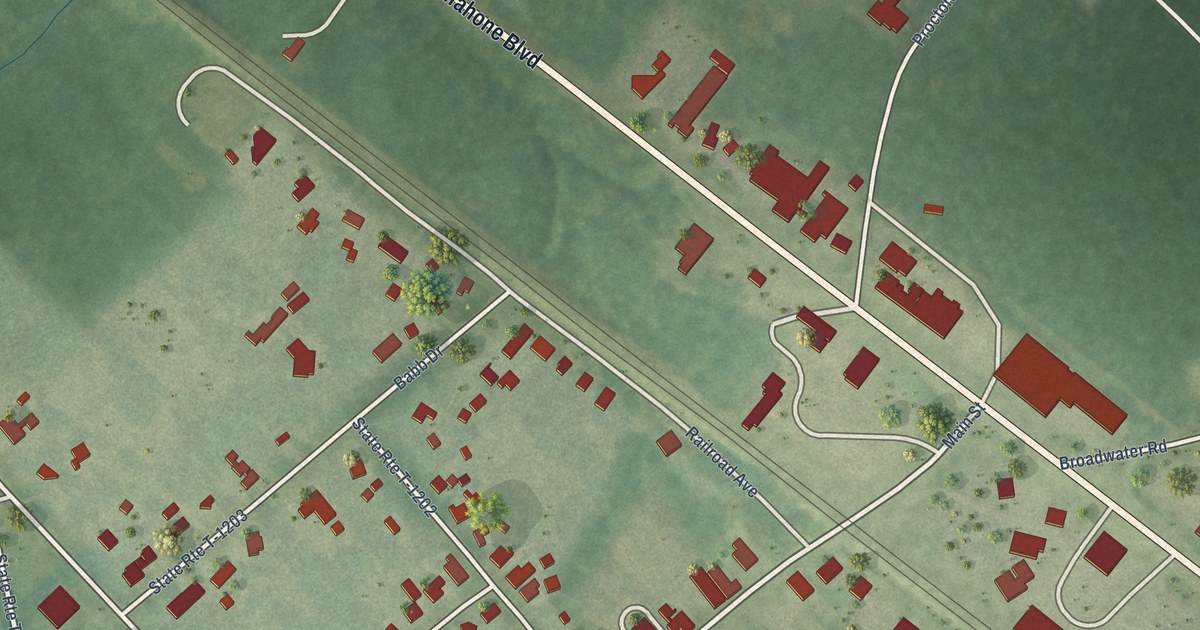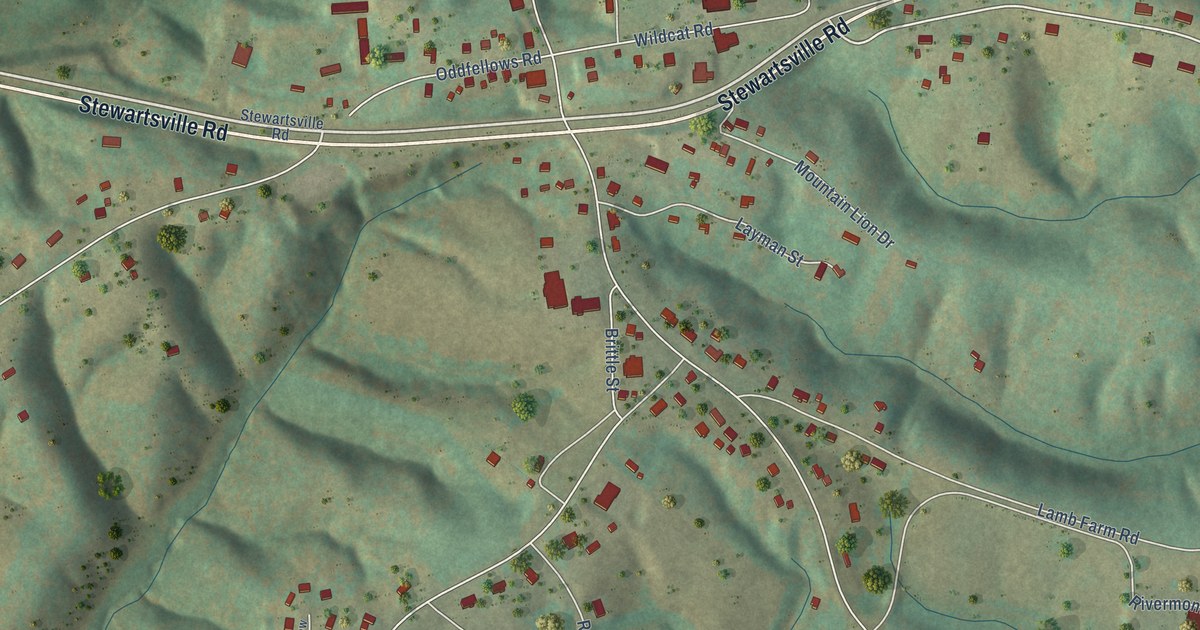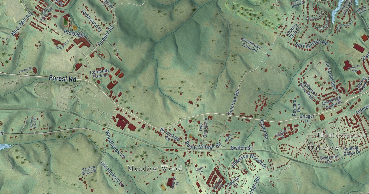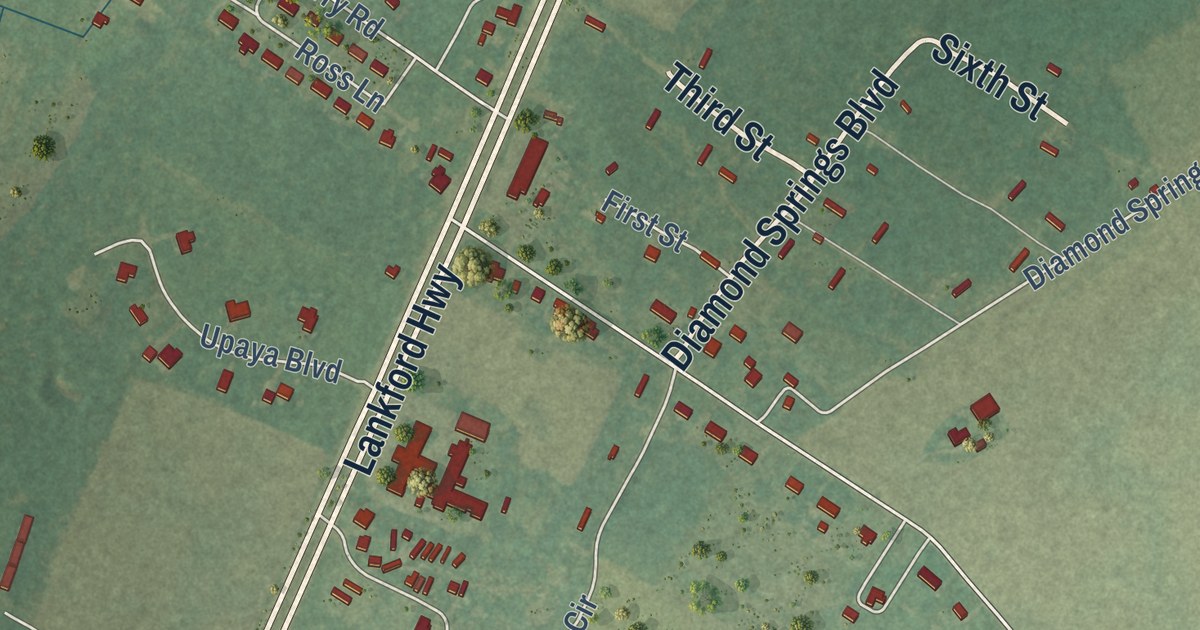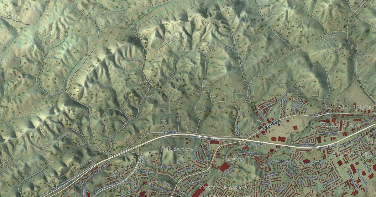
This beautifully detailed map of Bristol, Virginia was created in 2026 using aerial imagery combined with modern topographical, census, street and landmark data. It’s a one-of-a-kind view of Bristol that combines accurate data with a vintage aesthetic. The map shows every building in its true location, many of the roads carry their names, and the shaded topographic relief shows the shape of the land.
Explore an aerial view of Bristol, Virginia
On the map you’ll find Bristol City Hall, Sugar Hollow Park, Barytes, Belle Meadows, Briarwood, Colonial Heights, Horizon Hills, Hossan Heights, Kingtown, McChesney Heights, and Meadow Crest, along with Johnson Court, and more. If you look closely you can even find your house accurately drawn in its correct location. Zoom in on the preview to look for yours.
Did you know this piece of Bristol, Virginia history?
From Vcris.dhr.virginia.gov: "In 1865, at the dawn of their freedom from slavery, 42 former members of the white-led Goodson (now First) Baptist Church organized the Anglo African Baptist Church."
Take a closer look at the Bristol map
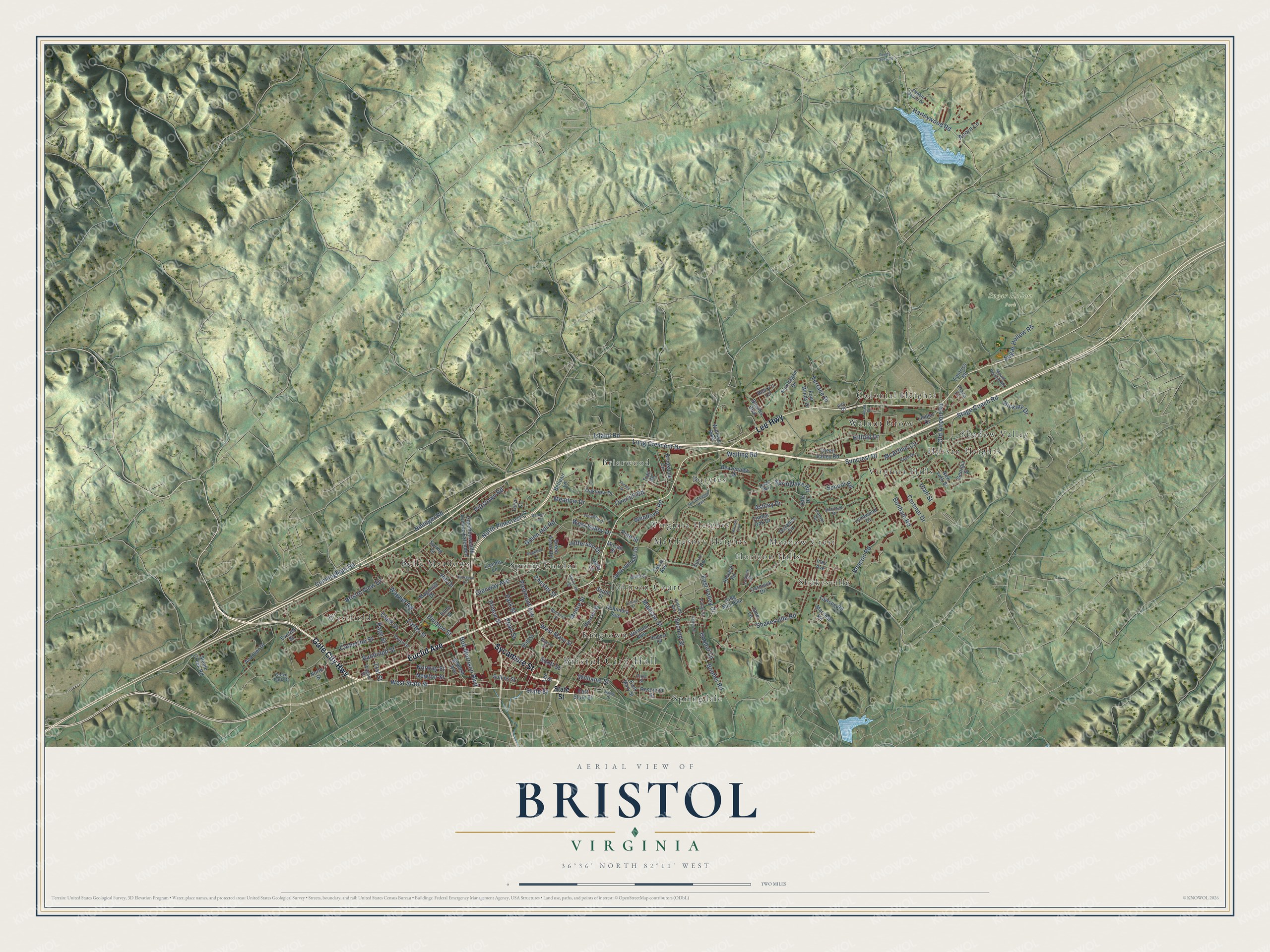
Street and place names on the Bristol, Virginia map
These names are printed on the map of Bristol, Virginia.
Places: Bristol City Hall, Sugar Hollow Park, Barytes, Belle Meadows, Briarwood, Colonial Heights, Horizon Hills, Hossan Heights, Johnson Court, Kingtown, McChesney Heights, Meadow Crest, Shadow Valley, Shakesville, Spring Garden, Springdale, Virginia Heights, Virginia Hills, Walnut Grove and Westfield.
Streets and roads: Euclid Avenue, Gate City Highway, Lee Highway, Sycamore Street, West State Street, State Street, Harleywood Road, West Mary Street, Piedmont Avenue, Moore Street, Prince Street, Bob Morrison Boulevard.
More street names, A to Z
21st Street, Acorn Lane, Alexis Drive, Andover Drive, Ashley Drive, Beacon Road, Beaverview Drive, Belleair Lane, Blevins Boulevard, Bonham Road, Booher Lane, Booher Road, Bristol View Drive, Brookdale Circle, Buckner Street, Carmack Drive, Carter Street, Catherine Street, Chester Street, Clark Street, Columbia Avenue, Commonwealth Avenue Extended, Coronet Drive, Cunningham Road, Division Street, Dixie Street, Dogwood Lane, East Mary Street, East State Street, East Valley Drive, Elmo Street, Everett Street, Fentriss Road, Flannagan Drive, Four Winds Drive, Fuller Street, Garden Lane, Georgia Street, Glenway Avenue, Green Acres Road, Green Hill Road, Green Valley Road, Grove Park Drive, Hagen Drive, Harlow Place, Harvest Road, Heather Road, Henry's Lane, Heritage Drive, Hickory Drive, Hill Drive, Hillside Avenue, Hilltop Drive, Hite Drive, Holly Lane, Inez Avenue, Island Road, Jane Lane, Janie Hammitt Drive, Jefferson Drive, King Mill Pike, Lavinia Street, Lawson Road, Lee Street, Linden Drive, Long Crescent Drive, Loomis Lane, Luttrell Street, Lynnwood Drive, Madison Street, Magnolia Drive, Marshall Road, McArthur Circle, Meadow Drive, Milsap Street, Mount Vernon Road, Navaho Trail, Newton Street, New York Street, Nininger Road, North Pinecrest Lane, North Street, Norway Street, Oak Street, Oakview Drive, Old Abingdon Highway, Old Airport Road, Overhill Road, Pace Drive, Page Street, Park Street, Patriot Circle, Pearl Street, Pebble Beach Drive, Pine Street, Pittstown Road, Plaza Drive, Quail Way, Quarry Street, Randolph Street, Reedy Creek Road, Reservoir Street, Russell Street, School Road, Scott Street, Second Street, Seward Avenue, Shakesville Road, Shipley Drive, Sioux Road, South Street, Springlake Road, Spring Street, Spurgeon Lane, Stage Coach Road, Steele Creek Road, Sugar Hollow Road, Sullins Street, Suncrest Drive, Sutherlin Street, Taryn Court, Terrace Drive, Terrance Circle, Texas Avenue, Timber Oak Drive, Trail Road, Utah Street, Vale Drive, Vance Street, Vermont Avenue, Wagner Road, Wagner Street, Wallace Pike, Walling Road, Wendover Road, West Valley Drive, Whitt Street, Williams Street, Woodland Drive.
See the Bristol, Virginia map on a wall
The Bristol map as an 18 x 24 inch print in a black frame.

This beautifully detailed map of Bristol makes an attractive addition to your office, library, or den, and it can even be used to teach children the geography and history of the area. It also makes a great gift for anyone with Bristol roots. When you’re done exploring, click here to get your copy of the Bristol map.