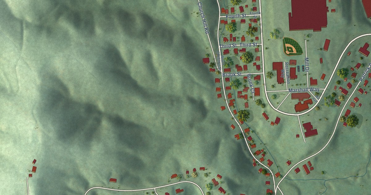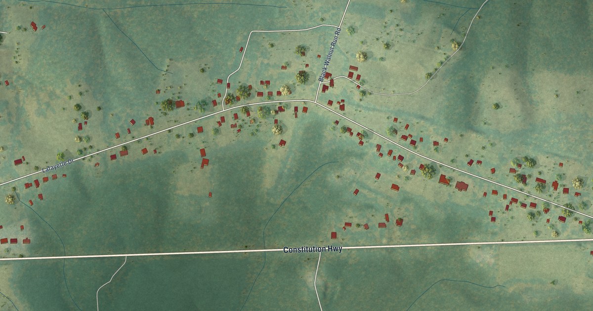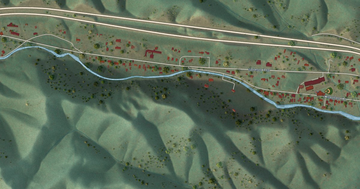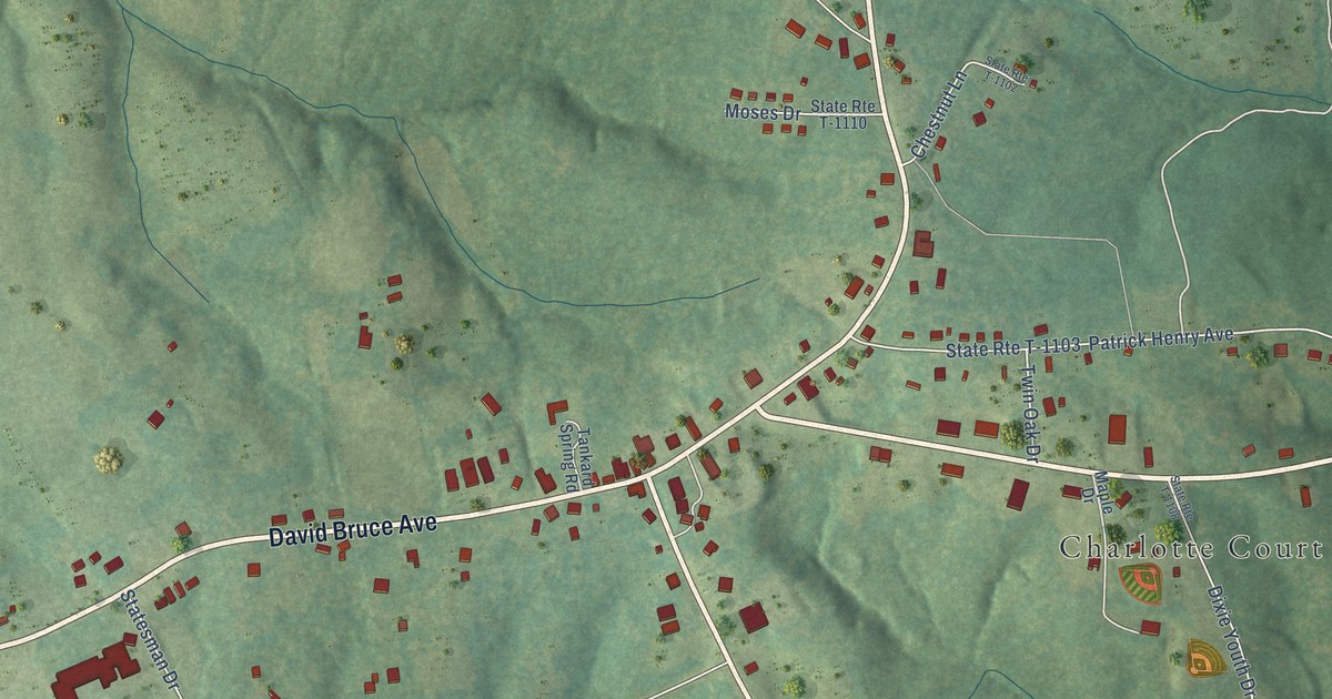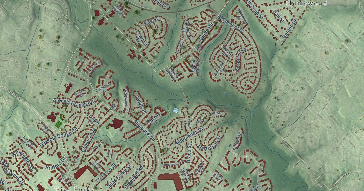
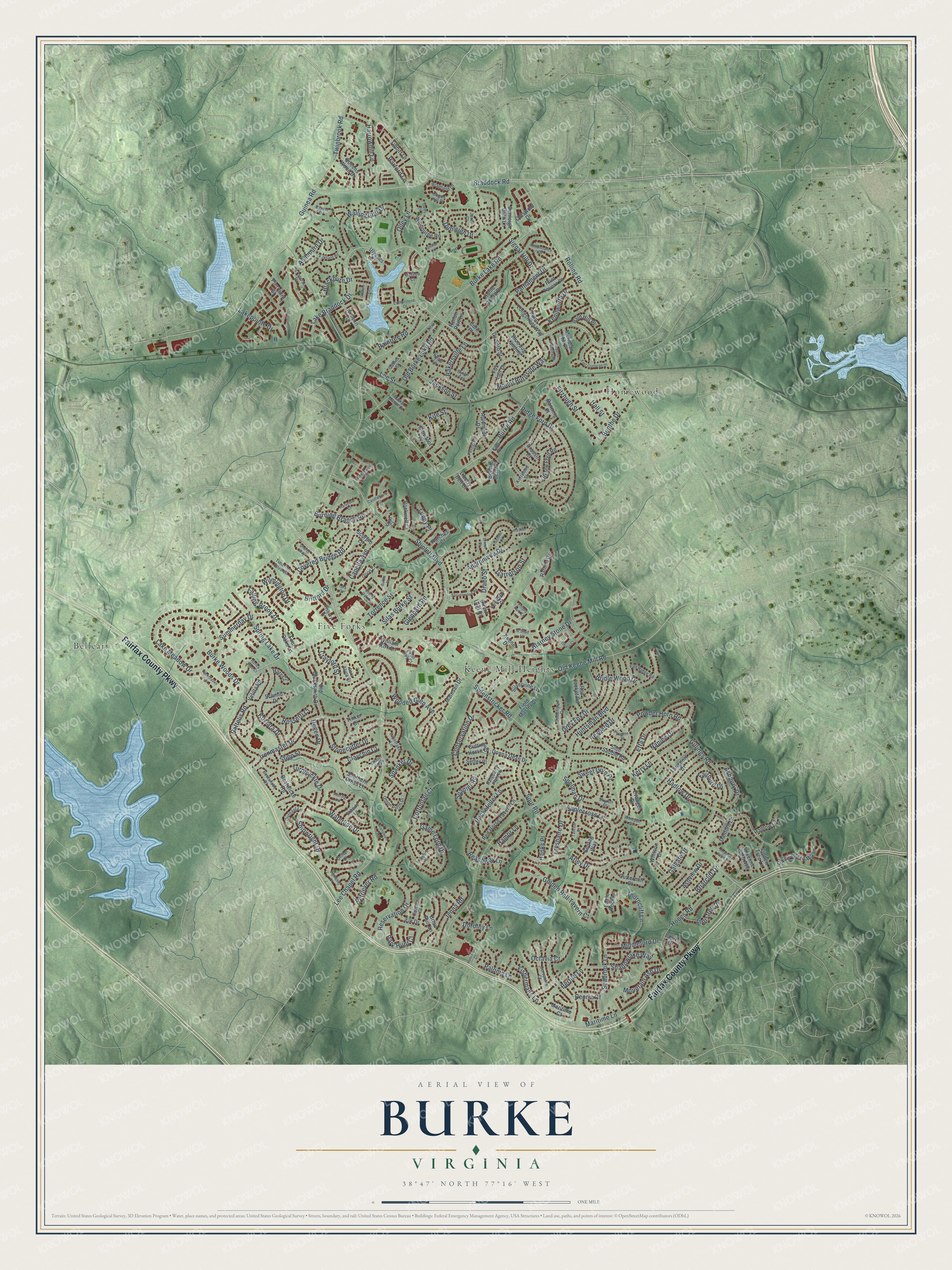
This beautifully detailed map of Burke, Virginia was created in 2026 using aerial imagery combined with modern topographical, census, street and landmark data. It’s a one-of-a-kind view of Burke that combines accurate data with a vintage aesthetic. The map shows every building in its true location, many of the roads carry their names, and the shaded topographic relief shows the shape of the land.
Explore an aerial view of Burke, Virginia
On the map you’ll find Belleair, Five Forks, Homewood, and Keene Mill Heights, along with Fairfax County Parkway, Lake Braddock Drive, Burke Lake Road, Lee Chapel Road, Burke Road, Old Keene Mill Road, Huntsman Boulevard, Guinea Road, and more. If you look closely you can even find your house accurately drawn in its correct location. Zoom in on the preview to look for yours.
Did you know this piece of Burke, Virginia history?
From Vcris.dhr.virginia.gov: "Marshall, first postmaster of the town later known as Burke, bought 50 acres here in 1852; he and his wife, Mary, who were significant in the community’s development, are buried in the Marshall Cemetery about 350 feet southeast."
Take a closer look at the Burke map
Street and place names on the Burke, Virginia map
These names are printed on the map of Burke, Virginia.
Places: Belleair, Five Forks, Homewood and Keene Mill Heights.
Streets and roads: Fairfax County Parkway, Lake Braddock Drive, Burke Lake Road, Lee Chapel Road, Burke Road, Old Keene Mill Road, Huntsman Boulevard, Guinea Road, Sydenstricker Road, Rolling Road, Arley Drive, Shiplett Boulevard.
More street names, A to Z
Adrienne Glen Avenue, Andromeda Drive, Aplomado Drive, Applecross Lane, Ashbourn Drive, Ashbury Drive, Ashview Drive, Bakersville Lane, Bald Hill Place, Banning Place, Beachway Lane, Bertito Lane, Bestwicke Court, Bestwicke Road, Birch Leaf Court, Blackburn Drive, Blarney Stone Drive, Blue Jug Landing, Bonnie Bern Court, Boothe Drive, Braddock Road, Bradfield Drive, Brian Run Lane, Briarcliff Drive, Bridle Wood Drive, Britford Drive, Bronte Drive, Brook Ford Road, Buffie Court, Burke Manor Court, Burke Woods Drive, Burning Branch Road, Byron Terrace, Calico Court, Candleberry Court, Capella Avenue, Capon Hill Place, Cervantes Court, Chapel Hill Drive, Cherry Oak Court, Church Way, Claychin Court, Clerkenwell Court, Coachman Drive, Conservation Drive, Cork Place, Cotherstone Court, Cotswold Drive, Cottontail Court, Covered Bridge Road, Crayford Street, Crossin Court, Crossrail Drive, Crowfoot Drive, Cuttermill Place, Cutting Horse Court, Dalby Lane, Danford Lane, Degen Drive, De Soto Street, Dianne Place, Donna Dean Drive, Dorothy Lane, Draco Street, Drifter Court, Dunleer Lane, Dunleigh Drive, Dunleigh Glen Lane, Eagle Rock Lane, Ebbtide Lane, Elk Drive, Erman Street, Etta Drive, Evangel Drive, Fairburn Drive, Falling Brook Drive, Fenestra Court, Field Master Drive, Fishermans Lane, Fitzhugh Street, Flint Tavern Place, Fort Corloran Drive, Four Oaks Lane, Fox Lair Drive, Fox Ridge Road, Freshaire Drive, Gaines Street, Galgate Drive, Game Lord Drive, Garretson Street, Gemini Court, Gillings Road, Glenbard Road, Golden Ball Tavern Court, Goshen Lane, Grey Fox Drive, Hadlow Court, Hadlow Drive, Hall Street, Hamor Lane, Hanks Place, Harford Lane, Harr Court, Harrowhill Lane, Harvester Court, Haskin Court, Hatches Court, Heather Point Drive, Herberts Crossing Drive, Home Guard Drive, Honey Tree Court, Hooes Road, Huntsman Court, Innisfree Drive, Ironmaster Drive, Jackson Street, Jenna Road, Jerell Court, Kara Place, Keene Drive, Kemp Lane, Kenilworth Drive, Kerrwood Street, Kerry Lane, Kirkfield Road, Kite Street, Koziara Drive, Lake Meadow Drive, Lakepointe Drive, Langport Drive, Lapstrake Lane, Lauren Drive, Lee Street, Liberty Bell Court, Lightship Court, Linden Tree Lane, Lundy Place, Lyra Court, Mainsail Drive, Maritime Court, Maritime Lane, Meridian Hill Place, Mersea Court, Middleford Drive, Mountain Ash Drive, Mount Burnside Way, Nanlee Drive, O'Shad Lane, Octavia Court, Ohara Court, Old Blacksmith Drive, Old Burke Lake Road, Olde Lantern Way, Olley Lane, Onion Patch Drive, Orion Court, Outhaul Lane, Paloma Lane, Park Hunt Court, Parliament Drive, Peoria Court, Peregrine Drive, Peter Roy Court, Pierrpont Street, Point Longstreet Way, Powder Horn Road, Queens Wood Drive, Raftelis Road, Raintree Road, Raspberry Plain Place, Rathlin Drive, Red Horse Tavern Lane, Red Jacket Road, Renaissance Court, Renoir Port Lane, Reservation Drive, Retriever Road, Reynard Drive, Ridge Ford Drive, Rockefeller Lane, Rockwell Court, Rossetti Court, Sara Alyce Court, Schmidt Drive, Scorpio Lane, Seabrook Lane, Setter Place, Shadowlake Way, Shipwright Drive, Side Saddle Road, Signal Hill Drive, Silas Burke Street, Silvervine Lane, Skyron Place, Sontag Way, Southern Cross Lane, Spaniel Road, Spanker Drive, Spelman Drive, Spring Lake Drive, Sprucewood Road, Spur Road, Stanchion Lane, Stipp Street, Stonecutter Drive, Summerday Drive, Sweet Gum Place, Tailcoat Court, Thorncliff Lane, Tibbitt Lane, Tiffany Park Court, Tilia Court, Timarron Cove Lane, Tinker Court, Tisbury Drive, Torrence Street, Trappers Place, Turnbuckle Drive, Twinbrook Road, Ulysses Court, Veering Lane, Velilla Road, Virgo Court, Wallingford Drive, Waterline Drive, Westport Lane, Whitson Court, Whitson Drive, William Kirk Lane, Wilmington Drive, Winbourne Road, Wooded Glen Avenue, Yachthaven Drive.
See the Burke, Virginia map on a wall
The Burke map as an 18 x 24 inch print in a black frame.

This beautifully detailed map of Burke makes an attractive addition to your office, library, or den, and it can even be used to teach children the geography and history of the area. It also makes a great gift for someone who left Burke and still calls it home. When you’re done exploring, click here to get your copy of the Burke map.