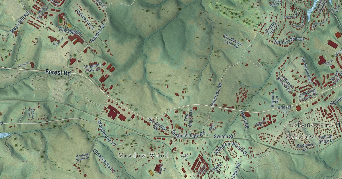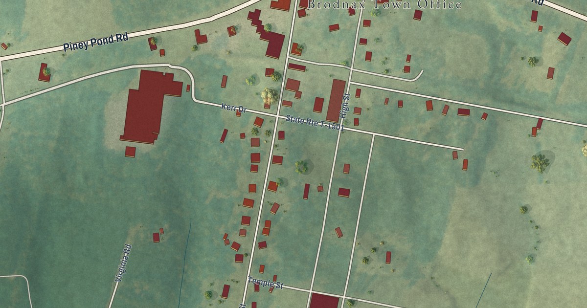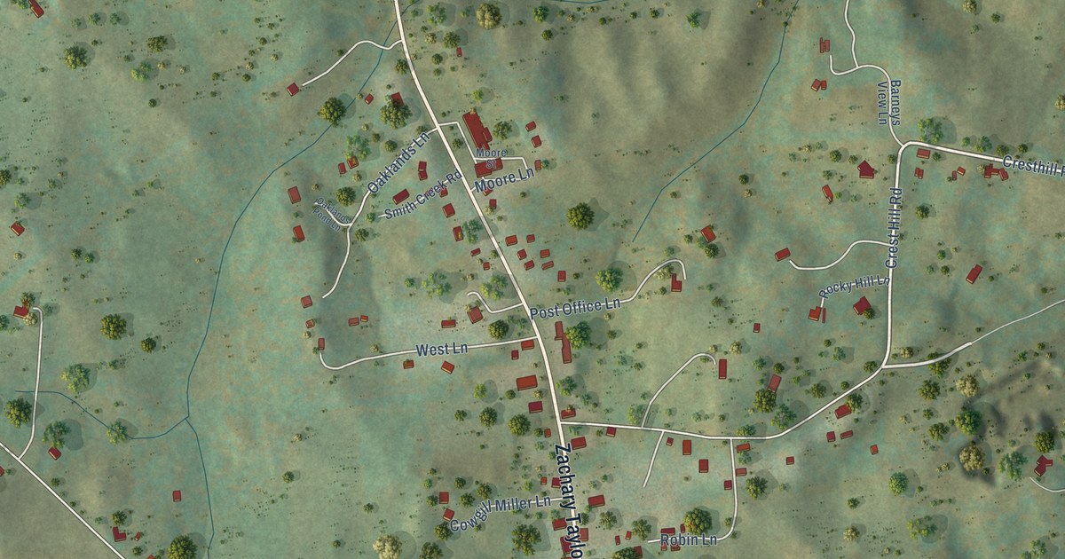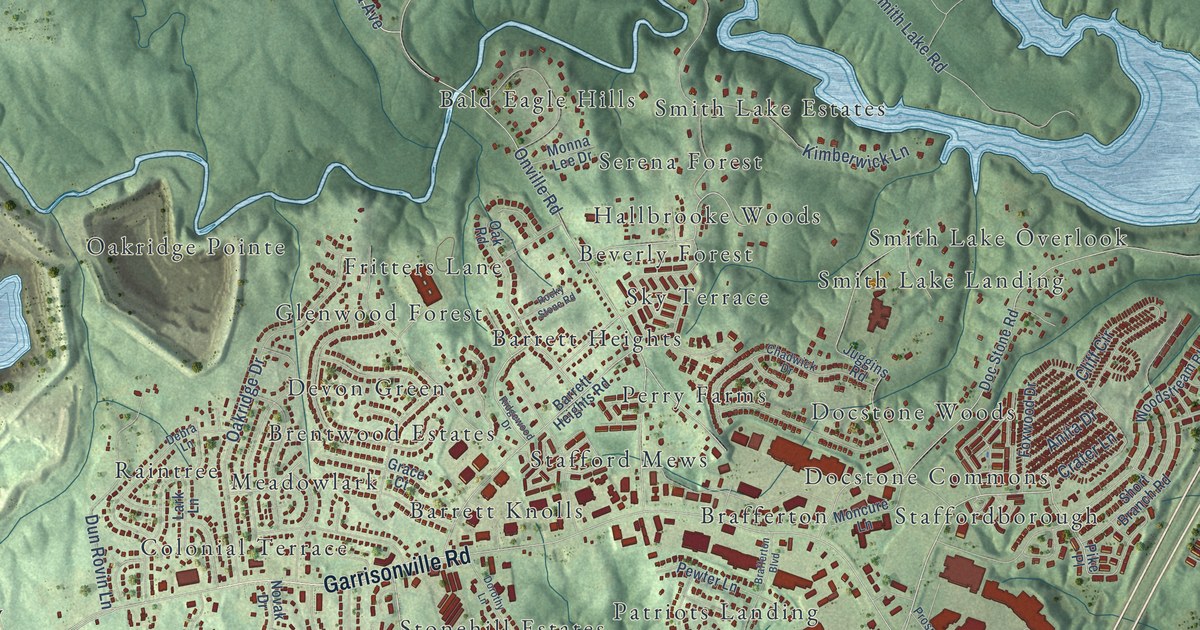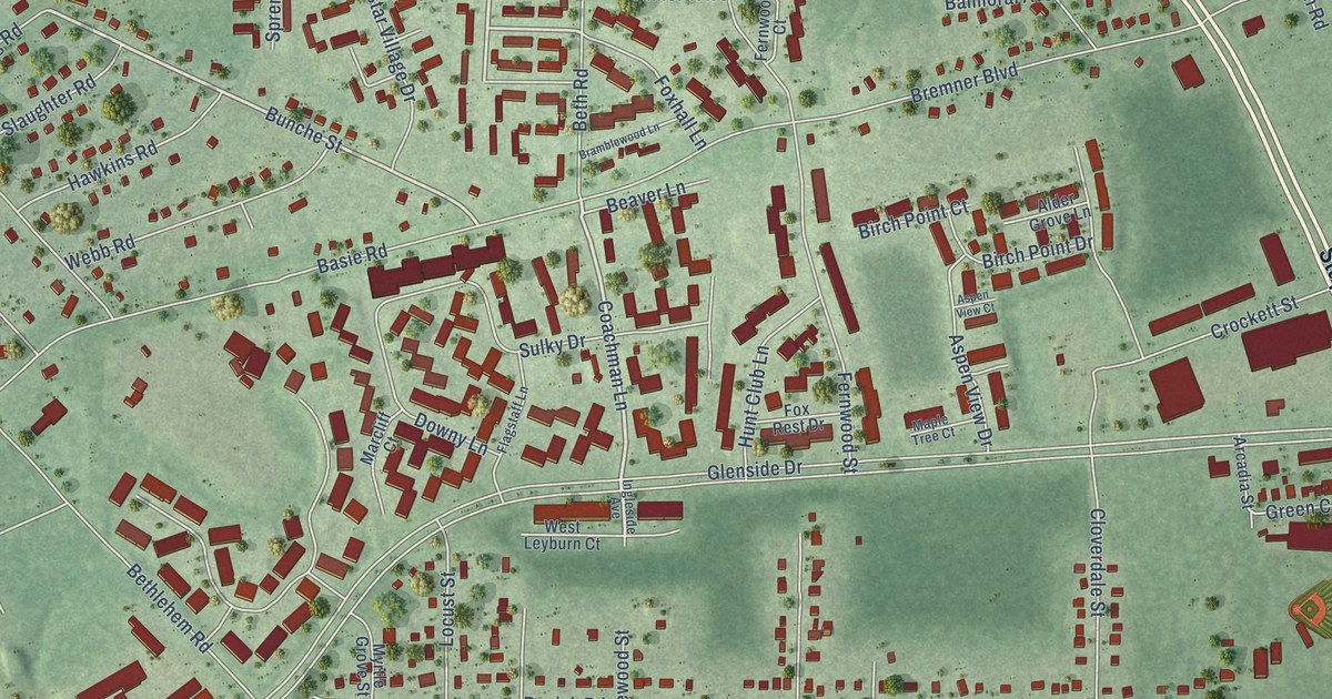
This beautifully detailed map of Dumbarton, Virginia was created in 2026 using aerial imagery combined with modern topographical, census, street and landmark data. It’s a one-of-a-kind view of Dumbarton that combines accurate data with a vintage aesthetic. The map shows every building in its true location, many of the roads carry their names, and the shaded topographic relief shows the shape of the land.
Explore an aerial view of Dumbarton, Virginia
On the map you’ll find Greendale and Paragon Place, along with Hilliard Road, Staples Mill Road, West Broad Street, Coachman Lane, Bunche Street, Balmoral Avenue, Bethlehem Road, Old Bethlehem Road, Glenside Drive, Wistar Road, and more. If you look closely you can even find your house accurately drawn in its correct location. Zoom in on the preview to look for yours.
Did you know this piece of Dumbarton, Virginia history?
From Henrico County: "Traffic signal site preparation completed in June 2025. Pavement rehabilitation completed in October 2025. Re-surfacing/Restriping completed in November 2025. Signal installation at the Byrdhill Road, Impala Drive, and Hermitage Road/Westlake Avenue intersections completed in March 2026."
Take a closer look at the Dumbarton map
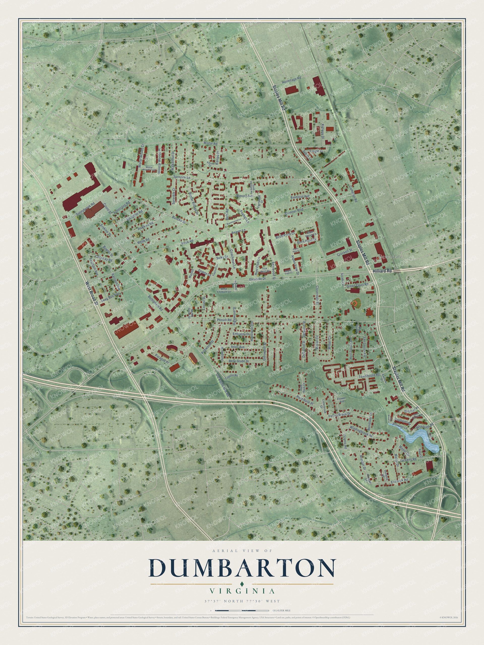
Street and place names on the Dumbarton, Virginia map
These names are printed on the map of Dumbarton, Virginia.
Places: Greendale.
Streets and roads: Hilliard Road, Staples Mill Road, West Broad Street, Coachman Lane, Bunche Street, Balmoral Avenue, Bethlehem Road, Paragon Place, Old Bethlehem Road, Glenside Drive, Wistar Road, Penick Road.
More street names, A to Z
Adair Avenue, Alder Grove Lane, Almora Avenue, Aqua Court, Arcadia Street, Armstrong Road, Aspen View Court, Aspen View Drive, Basie Road, Beaver Lane, Belle Glade Drive, Beth Road, Birch Point Court, Birch Point Drive, Bowler Street, Bramblewood Lane, Bremner Boulevard, Calloway Road, Carrick Street, Cloverdale Street, Compton Road, Copelin Road, Count Street, Crockett Street, Davista Avenue, Deep Run Avenue, Dellwood Street, Delwood Street, Dickens Road, Downy Lane, Dunwick Road, Earlwick Road, East Davista Avenue, Embassy Drive, Erskine Street, Fernwood Court, Fernwood Street, Flagstaff Lane, Flower Avenue, Forest Brook Drive, Fountain Avenue, Foxhall Lane, Fox Rest Drive, Glenwood Street, Green Court Road, Hard Rock Court, Hard Rock Place, Harrison Avenue, Hawkins Road, Hazelwood Street, Hermitage Road, Hunt Club Lane, Ingleside Avenue, Inglewood Street, Juniper Street, Kanipe Court, Kanipe Place, Kimway Drive, Kirkwood Street, Krueger Drive, Krueger Lane, Listerbrook Court, Little Brook Lane, Locust Street, Manor Circle, Manor Drive, Maple Tree Court, Marcliff Court, Millstone Road, Myrtle Grove Street, Oconto Road, Point Pleasant Road, Rock Garden Lane, Selkirk Lane, Slaughter Road, Snughaven Road, South Portland Road, Sprenkle Court, Sprenkle Lane, Stillwater Lane, Sulky Drive, Sunnybrook Road, Tangle Drive, Townhouse Road, Walkenhot Drive, Webb Road, Wendover Lane, West Davista Avenue, West Leyburn Court, Wharfside Road, Wilber Circle, Wilbur Circle, Windingbrook Road, Winstar Woods Place, Wistar Village Drive, Wistar Woods Court, Wistar Woods Trail.
See the Dumbarton, Virginia map on a wall
The Dumbarton map as an 18 x 24 inch print in a black frame.

This beautifully detailed map of Dumbarton makes an attractive addition to your office, library, or den, and it can even be used to teach children the geography and history of the area. It also makes a great gift for someone who left Dumbarton and still calls it home. When you’re done exploring, click here to get your copy of the Dumbarton map.