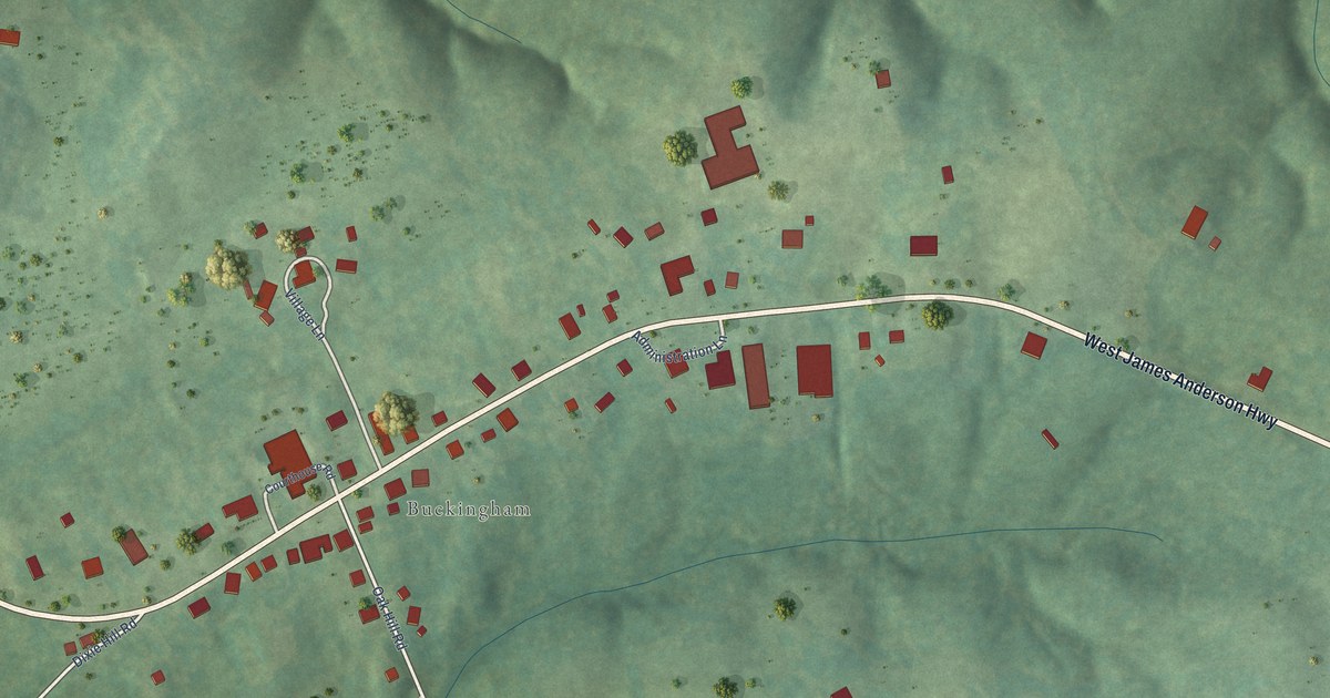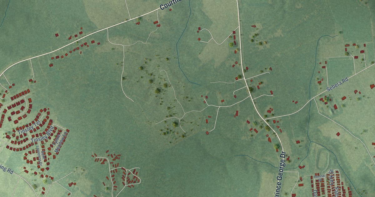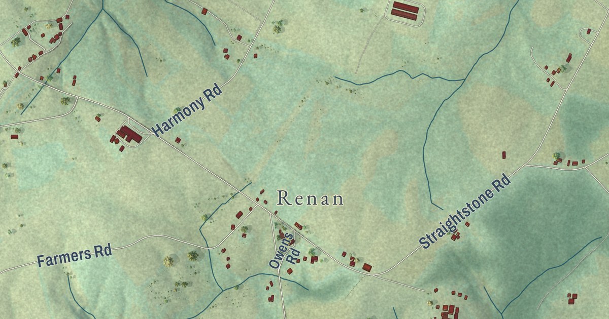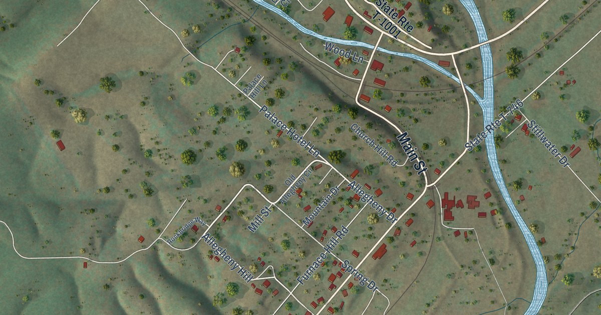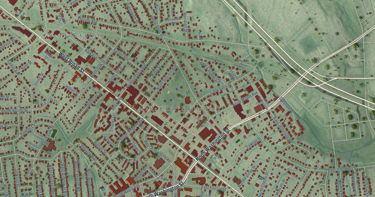
This beautifully detailed map of Falls Church, Virginia was created in 2026 using aerial imagery combined with modern topographical, census, street and landmark data. It’s a one-of-a-kind view of Falls Church that combines accurate data with a vintage aesthetic. The map shows every building in its true location, many of the roads carry their names, and the shaded topographic relief shows the shape of the land.
Explore an aerial view of Falls Church, Virginia
On the map you’ll find Falls Church City Hall, Oakwood Cemetery, Offutt Village, Seven Corners, Tyler Gardens, Virginia Forest, and West Falls Church, along with West Broad Street, South Washington Street, North Washington Street, Leesburg Pike, East Broad Street, and more. If you look closely you can even find your house accurately drawn in its correct location. Zoom in on the preview to look for yours.
Did you know this piece of Falls Church, Virginia history?
From Vcris.dhr.virginia.gov: "Henderson, whose pioneering work fostered African American participation in athletics early in the 20th century, lived in Falls Church from 1910 to 1965."
Take a closer look at the Falls Church map
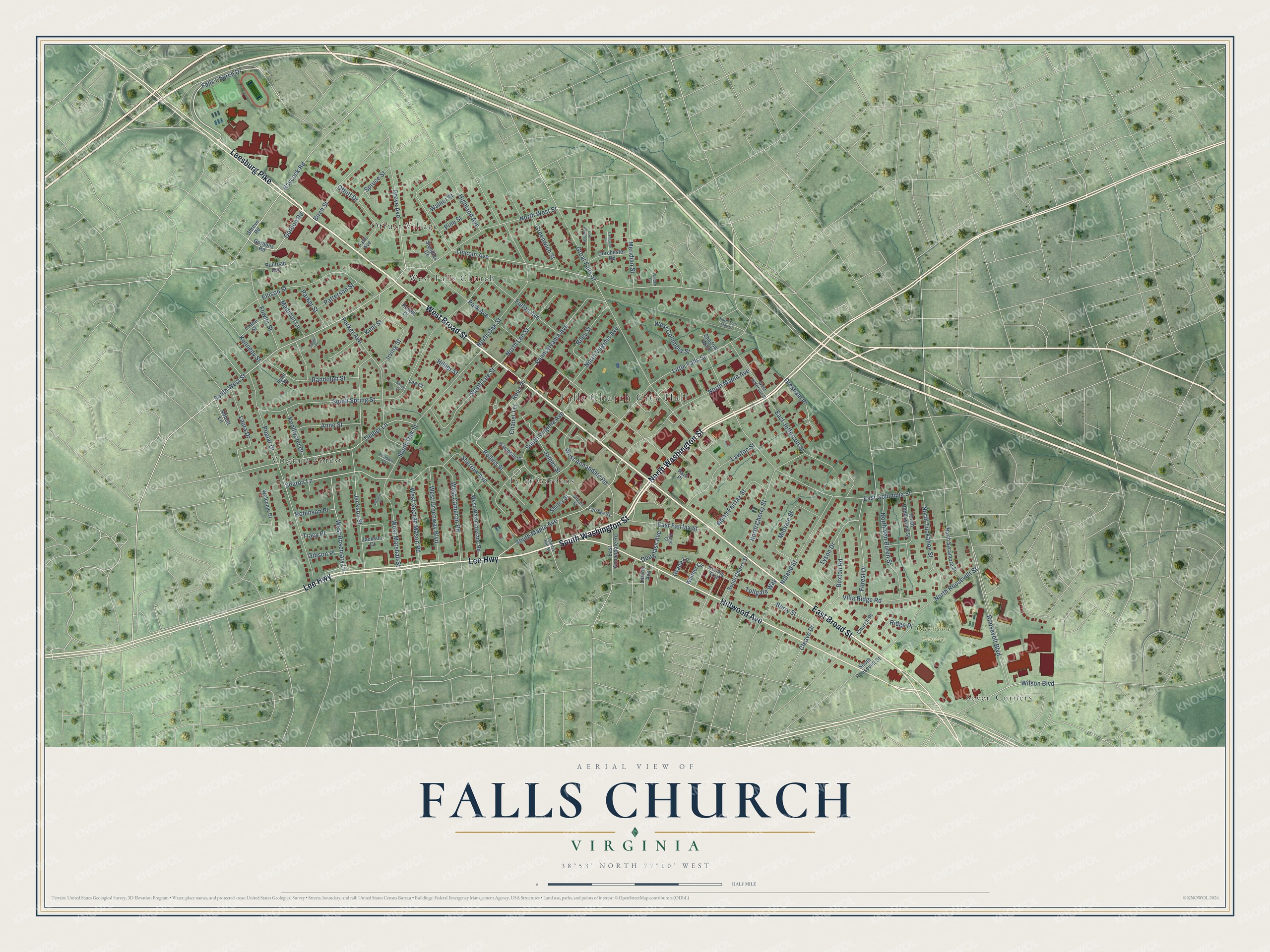
Street and place names on the Falls Church, Virginia map
These names are printed on the map of Falls Church, Virginia.
Places: Falls Church City Hall, Oakwood Cemetery, Offutt Village, Seven Corners, Tyler Gardens, Virginia Forest and West Falls Church.
Streets and roads: West Broad Street, South Washington Street, North Washington Street, Leesburg Pike, East Broad Street, Lee Highway, Hillwood Avenue, Falls Church Drive, Gordon Road, South West Street, South Maple Avenue, Haycock Road.
More street names, A to Z
Abbott Lane, Anne Street, Berry Street, Birch Street, Buxton Road, Chanel Terrace, Church Place, Cleave Drive, Crane Street, Dorchester Road, Douglass Avenue, Dulany Place, East Annandale Road, East Columbia Street, East Fairfax Street, East Jefferson Street, Ellison Street, Fairfax Street, Falls Avenue, Fellows Court, Forest Drive, Fowler Street, Fulton Avenue, Gibson Place, Gibson Street, Gordons Road, Grace Lane, Great Falls Street, Greenwich Street, Gresham Place, Grove Avenue, Hampton Court, Highland Avenue, Hillier Street, Irving Street, Jackson Court, Jackson Street, James Street, Katie Court, Kennedy Street, Kent Street, Knollwood Drive, Langston Lane, Lanier Place, Laura Drive, Lawton Street, Lea Court, Liberty Avenue, Lincoln Avenue, Little Falls Street, Lynn Place, Madison Lane, Meridian Street, Midvale Street, Noland Street, North Cherry Street, North Fairfax Street, North Four Mile Drive, North Lee Street, North Maple Avenue, North Oak Street, North Roosevelt Street, North Sycamore Street, North Tuckahoe Street, North Underwood Street, North Van Buren Street, North Virginia Avenue, North West Street, Oak Haven Drive, Offutt Drive, Park Avenue, Parker Avenue, Parker Street, Park Place, Patterson Street, Pennsylvania Avenue, Pine Street, Poplar Drive, Railroad Avenue, Randolph Street, Rees Place, Ridge Place, Riley Street, Robinson Place, Rolling Trce, Rollins Street, Roosevelt Boulevard, Rowell Court, Seaton Lane, Shadow Walk, Sherrow Avenue, Shirley Street, Shreve Road, South Cherry Street, South Lee Street, South Oak Street, South Roosevelt Street, South Spring Street, South Virginia Avenue, Spring Court, Spruce Street, Steeples Court, Timber Lane, Tinners Hill Street, Tollgate Way, Tracy Place, Tyson Drive, Villa Ridge Road, Walden Court, Walnut Street, Welcome Drive, West Annandale Road, West Cameron Road, West Columbia Street, West George Mason Road, West Greenway Boulevard, West Jefferson Street, West Marshall Street, West Rosemary Lane, West Westmoreland Road, Whittier Circle, Wilson Boulevard.
See the Falls Church, Virginia map on a wall
The Falls Church map as an 18 x 24 inch print in a black frame.

This beautifully detailed map of Falls Church makes an attractive addition to your office, library, or den, and it can even be used to teach children the geography and history of the area. It also makes a great gift for anyone with Falls Church roots. When you’re done exploring, click here to get your copy of the Falls Church map.