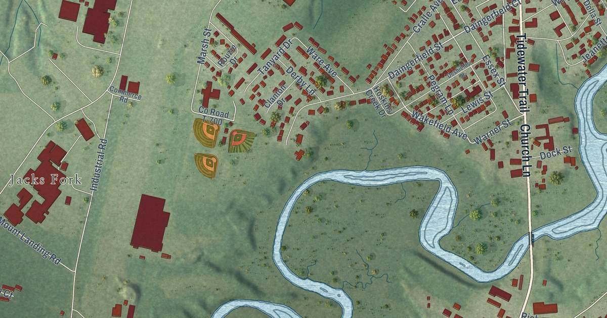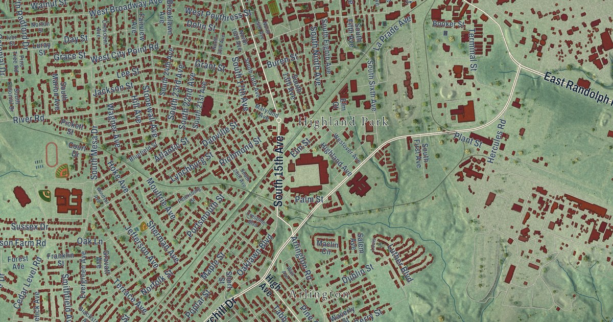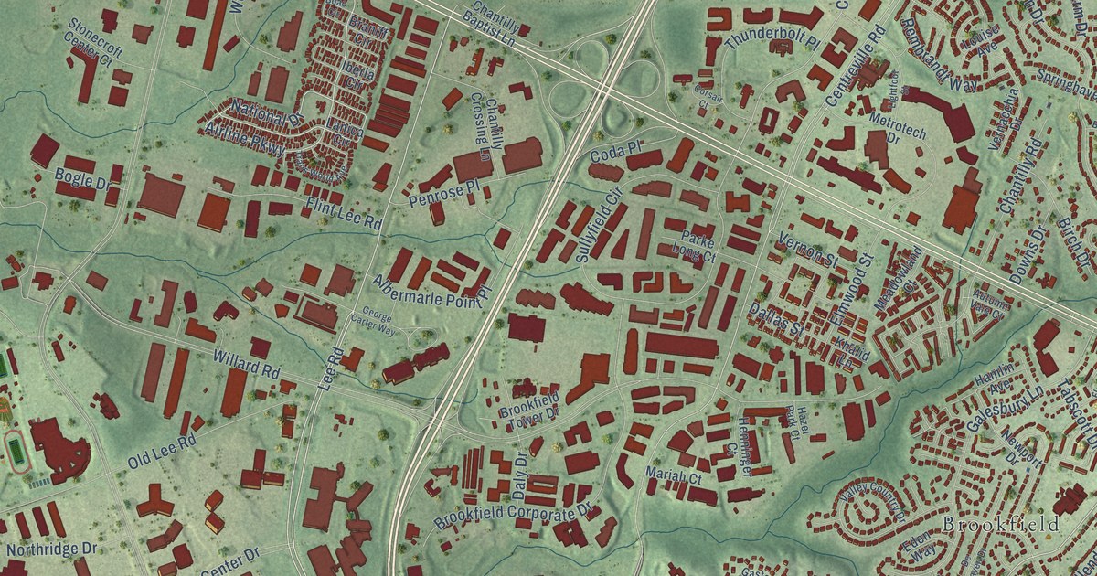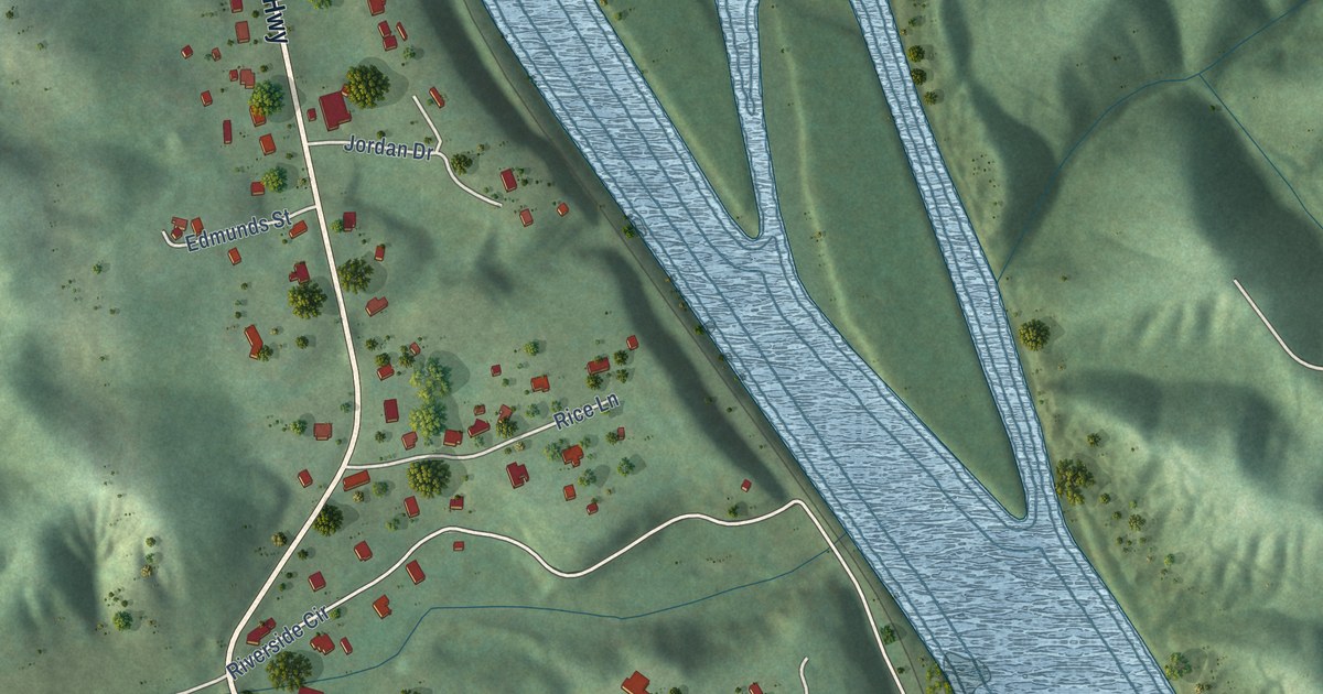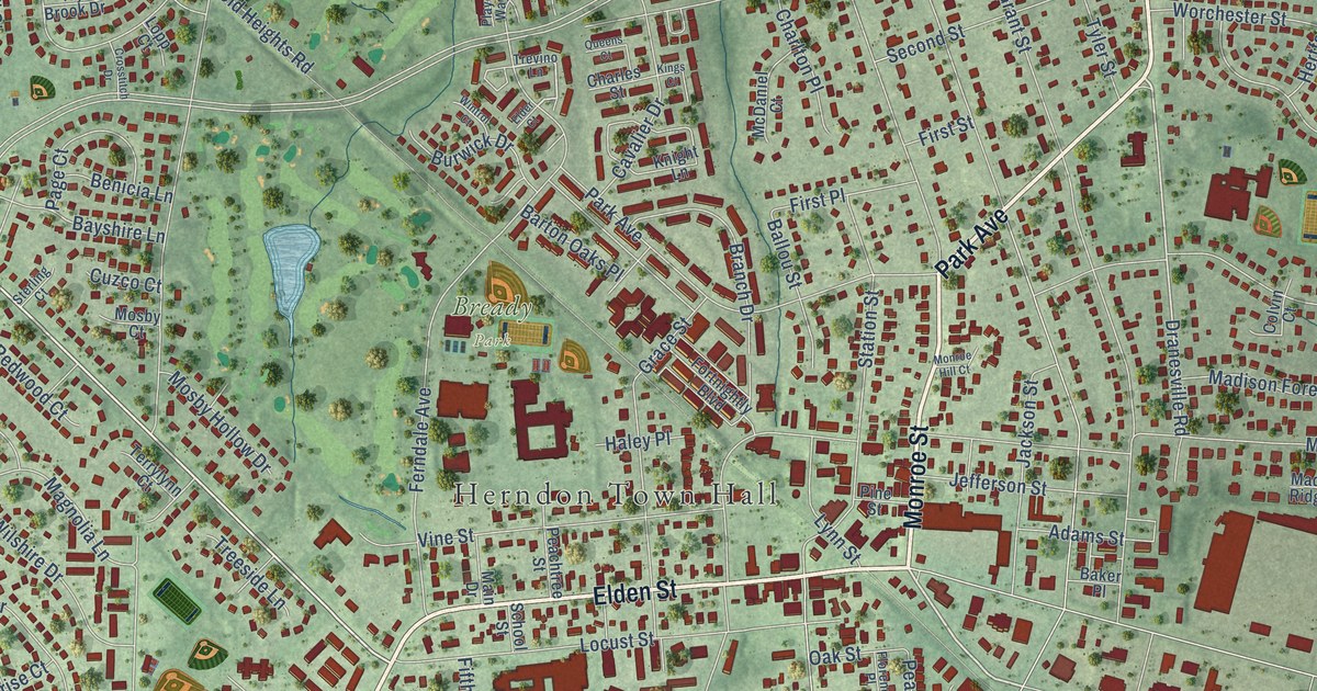
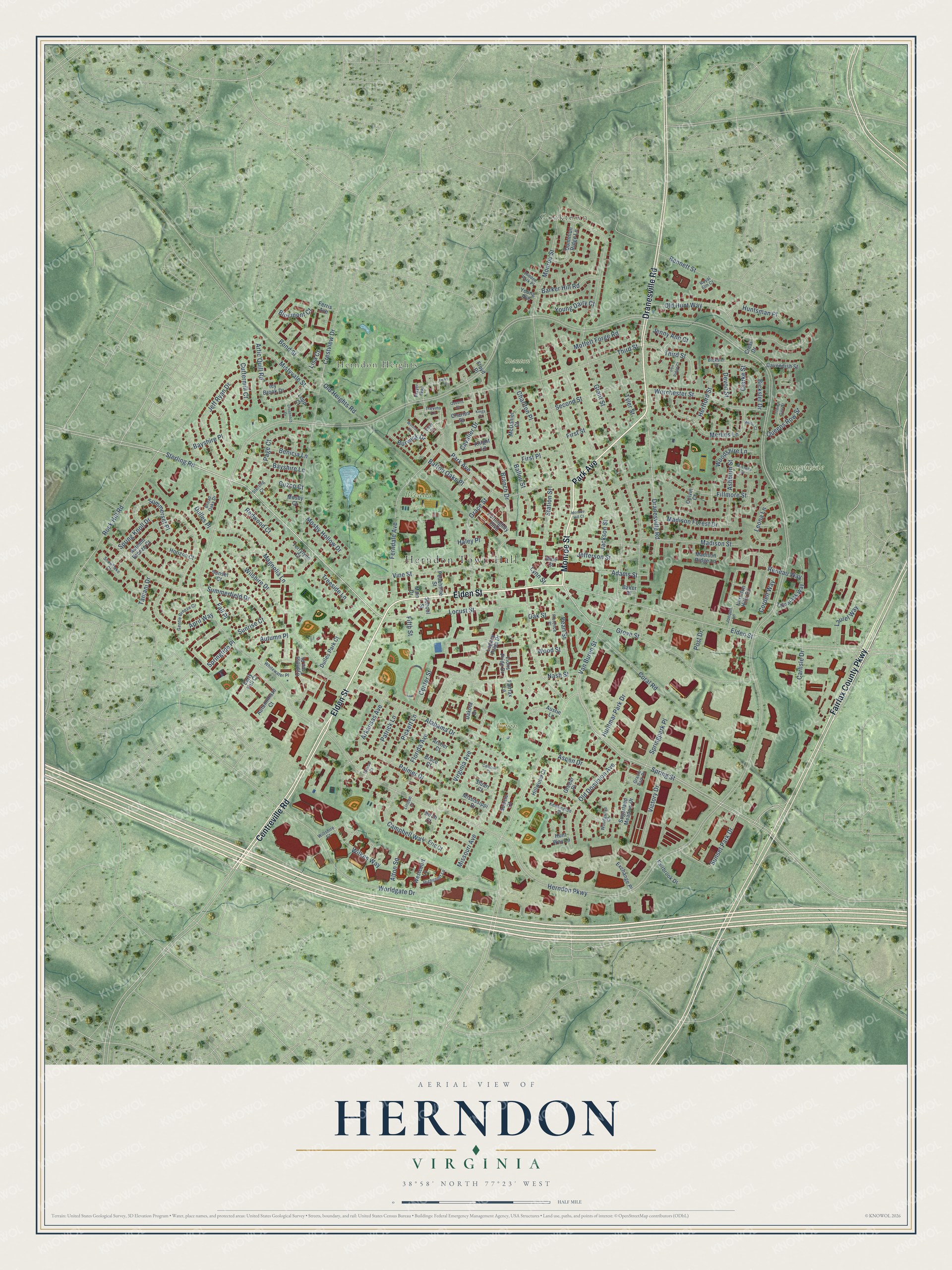
This beautifully detailed map of Herndon, Virginia was created in 2026 using aerial imagery combined with modern topographical, census, street and landmark data. It’s a one-of-a-kind view of Herndon that combines accurate data with a vintage aesthetic. The map shows every building in its true location, many of the roads carry their names, and the shaded topographic relief shows the shape of the land.
Explore an aerial view of Herndon, Virginia
On the map you’ll find Herndon Town Hall, Cooktown, Herndon Heights, Bready Park, Runnymede Park, Bruin Park, and Stanton Park, along with Elden Street, Dranesville Road, Monroe Street, Park Avenue, Centreville Road, and more. If you look closely you can even find your house accurately drawn in its correct location. Zoom in on the preview to look for yours.
Did you know this piece of Herndon, Virginia history?
From Dhr.virginia.gov: "A landmark in the center of the town of Herndon in western Fairfax County, the board-and-batten Herndon Depot is a surviving example of the simple railroad stations that served small communities in the 19th century."
Take a closer look at the Herndon map
Street and place names on the Herndon, Virginia map
These names are printed on the map of Herndon, Virginia.
Places: Herndon Town Hall, Cooktown, Herndon Heights, Bready Park, Runnymede Park, Bruin Park and Stanton Park.
Streets and roads: Elden Street, Dranesville Road, Monroe Street, Park Avenue, Centreville Road, Fairfax County Parkway, Sterling Road, Virginia Avenue, Third Street, Herndon Parkway, Van Buren Street, Spring Street.
More street names, A to Z
Adams Street, Alabama Drive, Alton Square, April Way, Archer Court, Arkansas Avenue, Artic Quill Road, Ashburn Street, Aspen Drive, Austin Lane, Autumn Breeze Court, Autumnhaze Court, Autumn Place, Baker Place, Ballou Street, Barker Hill Road, Barton Oaks Place, Bayshire Lane, Bayshire Place, Benicia Lane, Bennett Street, Bicksler Court, Bicksler Drive, Birch Court, Bluemont Court, Bond Street, Branch Drive, Broad Oaks Drive, Bruce Court, Burwick Drive, Calhoun Court, Campbell Way, Carlisle Drive, Cavalier Drive, Cavendish Street, Center Street, Charles Street, Charlton Place, Clarke Street, Colvin Court, Coral Road, Cordell Way, Crest Drive, Crestview Drive, Crosstitch Drive, Cuttermill Court, Cuzco Court, Cypress Tree Place, Dakota Drive, Devon Street, Dominion Ridge Lane, Dulles Park Court, Dulles Place, Early Fall Court, Elder Court, Eric Court, Exchange Place, Fairbrook Drive, Fairfax Lane, Fall Place, Ferndale Avenue, Ferris Avenue, Fifth Street, Fillmore Street, First Place, First Street, Florence Place, Florida Avenue, Floyd Place, Fortnightly Boulevard, Gentle Breeze Court, Grace Street, Gracie Park Drive, Grant Street, Greear Place, Grove Street, Haley Place, Herndon Hills Circle, Hertford Street, Hidden Park Place, Highcourt Lane, Hillwood Court, Horizon Court, Huntmar Park Drive, Huntsman Place, Hunt Way Lane, Icy Brook Drive, Iron Ridge Court, Jackson Street, Jefferson Street, Jeff Ryan Drive, Jenny Ann Court, Jonquil Lane, Kensington Place, Kings Court, Knight Lane, Laurel Way, Legacy Pride Drive, Leona Lane, Linden Court, Lions Pride Drive, Lisa Court, Locust Street, Lopp Court, Lynn Street, Madison Forest Drive, Madison Ridge Lane, Madison Street, Magnolia Lane, Main Drive, McDaniel Court, Merlin Court, Merlins Lane, Mississippi Drive, Missouri Avenue, Mistyvale Street, Moffett Forge Road, Monroe Hill Court, Montalto Drive, Mosby Court, Mosby Hollow Drive, Nash Street, Oak Street, Old Dominion Avenue, Old Heights Road, Old Hunt Way, Page Court, Palmer Drive, Patrick Lane, Peachtree Street, Pearl Street, Pickett Lane, Pine Street, Player Way, Post Drive, Queens Court, Queens Row Street, Redwood Court, Reneau Way, Rock Hill Road, Royal Elm Court, School Street, Second Street, Senate Court, Snowflake Court, Spring Knoll Drive, Springpark Place, Springtide Place, Spruce Court, Station Street, Sterling Court, Stuart Court, Sugarland Meadow Drive, Summerfield Drive, Summerset Place, Sunrise Court, Sunset Court, Sunset Park Drive, Tamani Drive, Tamarack Way, Terrylynn Court, Treeside Lane, Trevino Lane, Trinity Gate Street, Tway Lane, Tyler Street, Victory Drive, Vine Street, Westcourt Lane, Whitewater Place, Wilkes Way, Wilshire Drive, Wiltshire Court, Wintrol Court, Woodgrove Court, Woodshire Lane, Wood Street, Worchester Street, Worldgate Drive, Young Avenue, Young Dairy Court.
See the Herndon, Virginia map on a wall
The Herndon map as an 18 x 24 inch print in a black frame.

This beautifully detailed map of Herndon makes an attractive addition to your office, library, or den, and it can even be used to teach children the geography and history of the area. It also makes a great gift for anyone with Herndon roots. When you’re done exploring, click here to get your copy of the Herndon map.