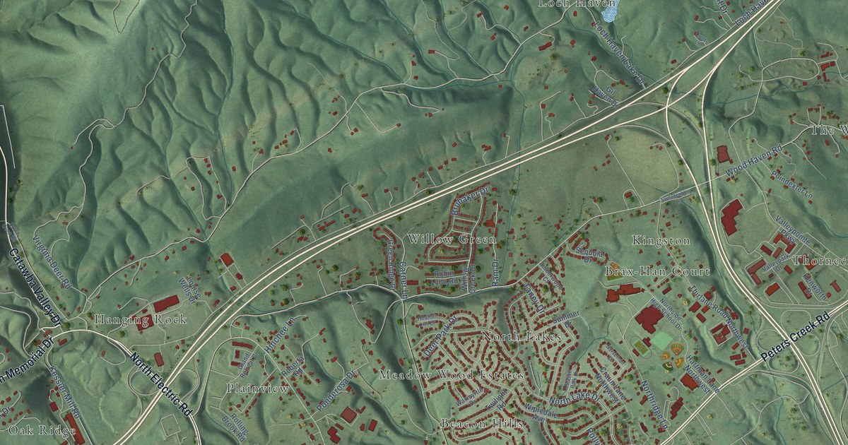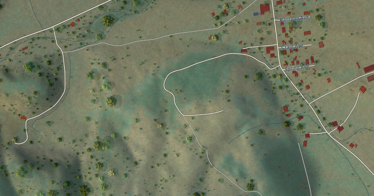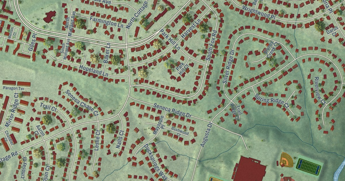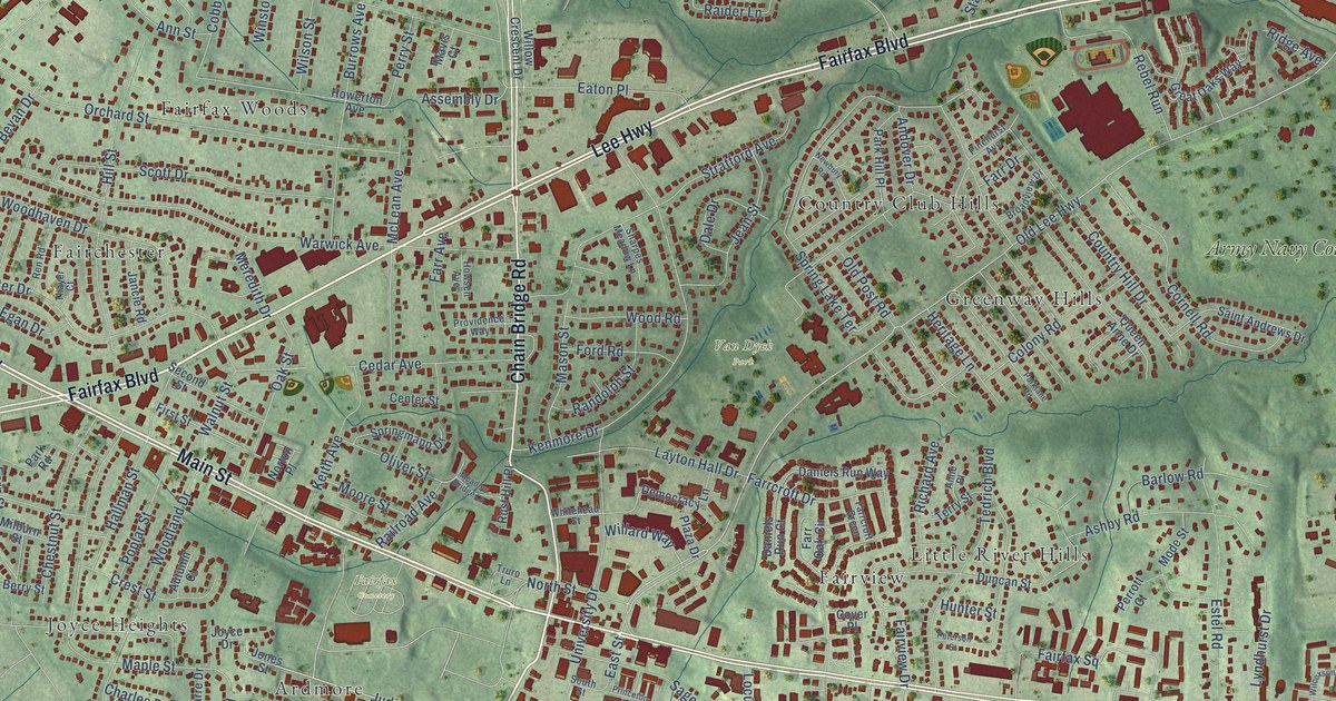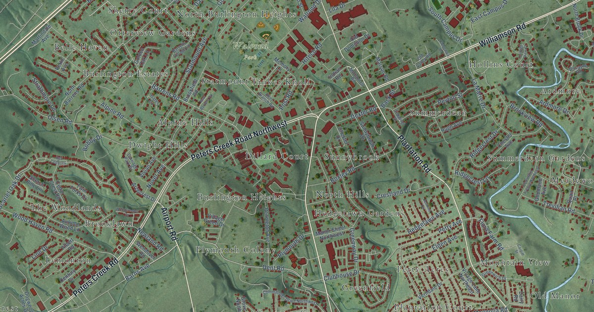
This beautifully detailed map of Hollins, Virginia was created in 2026 using aerial imagery combined with modern topographical, census, street and landmark data. It’s a one-of-a-kind view of Hollins that combines accurate data with a vintage aesthetic. The map shows every building in its true location, many of the roads carry their names, and the shaded topographic relief shows the shape of the land.
Explore an aerial view of Hollins, Virginia
On the map you’ll find Walrond Park, Alpine Hills, Ardmore, Belle Haven, Boxley Hill, Brooklawn, Brookside, Bryant Heights, Buckland Forest, Burlington Estates, Burlington Heights, Captains Grove, and more. If you look closely you can even find your house accurately drawn in its correct location. Zoom in on the preview to look for yours.
Did you know this piece of Hollins, Virginia history?
From the Virginia A Guide to the Old Dominion: "Hollins College near Roanoke, founded in 1842 as a coeducational institute, stands foremost among the pioneers."
Take a closer look at the Hollins map
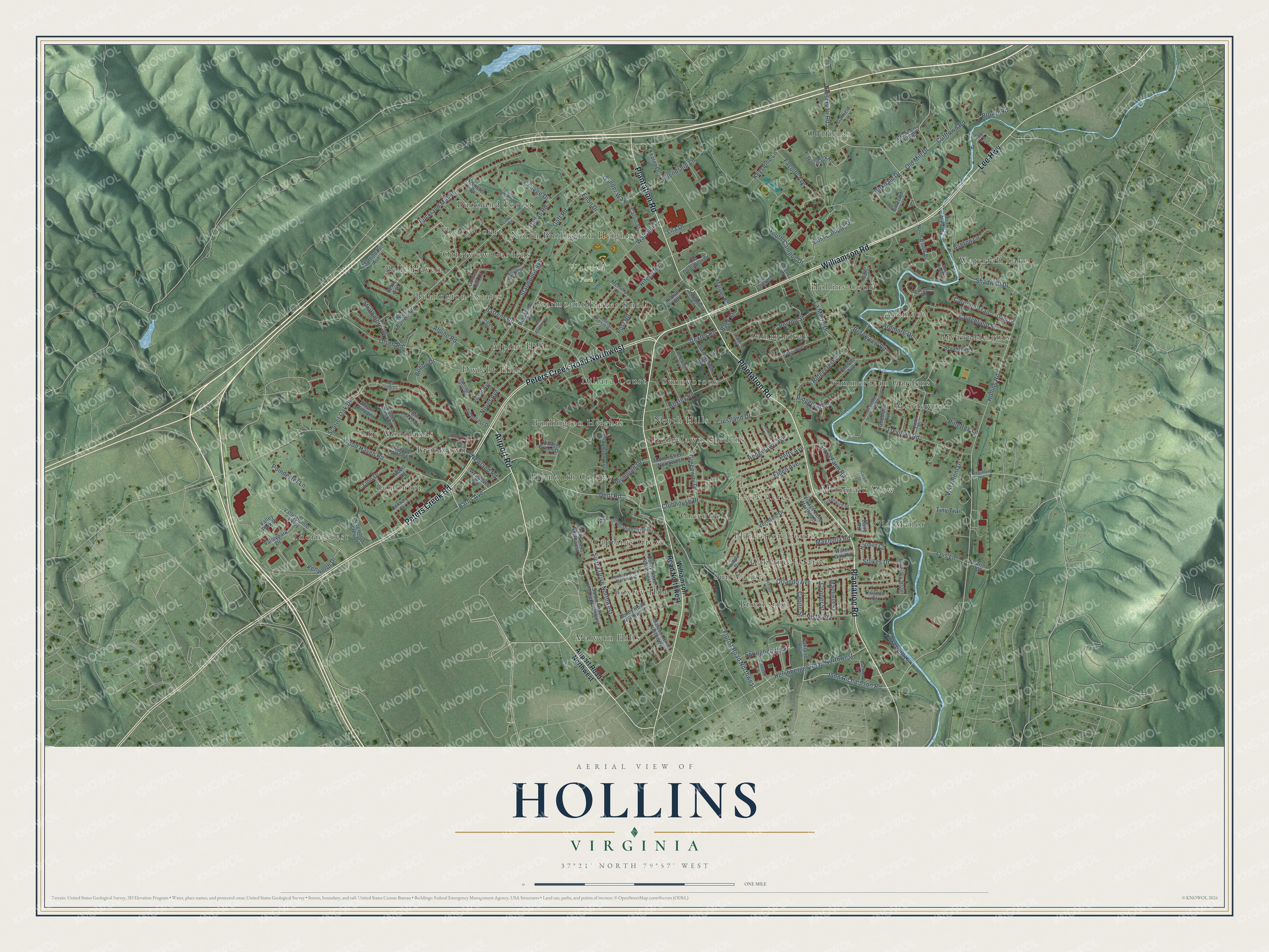
Street and place names on the Hollins, Virginia map
These names are printed on the map of Hollins, Virginia.
Places: Walrond Park, Alpine Hills, Ardmore, Belle Haven, Boxley Hill, Brooklawn, Brookside, Bryant Heights, Buckland Forest, Burlington Estates, Burlington Heights, Captains Grove, Dillard Court, Dwight Hills, Greenfield, Hedgelawn Gardens, Hollins Court, Lemonton, Malvern Hills, Meadewood, Mountain View, North Burlington Heights, North Hills, Oakland Estates, Old Manor, Oldfields, Otterview Gardens, Petty Acres, Plantation Court, Plymouth Colony, Sherry Court, Starmount, Summerdean, Summerdean Gardens, Sun Valley, Sunnybrook, The Woodlands, Thornecrest, Tinker Knoll and Waterfall Lake.
Streets and roads: Williamson Road, Plantation Road, Airport Road, Lee Highway, Peters Creek Road Northwest, Peters Creek Road, Florist Road Northwest, Wood Haven Road, Barrens Road, Hershberger Road Northwest, John Richardson Road, Dent Road.
More street names, A to Z
Abney Road Northwest, Airport Road Northwest, Albert Road, Alpine Road, Archcrest Drive, Ardmore Drive, Ashton Lane, Autumn Wood Lane, Back Street, Barns Avenue, Barrens Village Lane, Beaumont Road, Birkdale Drive, Biscayne Road, Bluebell Lane, Bobby Drive, Bolejack Boulevard, Boxley Road, Brookfield Road, Brookview Road, Brown Road, Bryant Circle, Buckland Mill Road, Buckley Drive, Capito Street, Cardiff Street, Carlos Drive, Carolina Trail, Carriage Park Drive, Carvin Street, Cedar Crest Road, Century Drive, Chester Avenue, Chester Drive, Clearwater Avenue Northeast, Clubhouse Drive, College Drive, College View Court, Commander Drive Northwest, Cooper Street, Crestland Drive, Crutchfield Street, Cufftown Road, Dairy Road, Dallas Road, Dan Lane, Darby Road Northwest, Daytona Road, Deer Branch Road, Dexter Road, Dogwood Acres Drive, East Campus Drive, Elden Avenue, Emerald Lane, Enon Drive, Faculty Avenue, Fenwick Drive Northwest, Flora Farm Road, Friendship Lane, Gander Way, Garfield Lane, Gates Circle, Goff Road, Golden Oak Lane, Goodland Avenue, Greenway Drive, Greenwich Drive, Grove Lane Northwest, Harmon Circle, Hedgelawn Avenue, Hitech Road, Hollins Road, Hugh Avenue, Indian Road, Jasmine Circle, Keaton Drive, Kenworth Drive, Keystone Lane, Laban Road, La Marre Drive, Lila Drive, Linn Drive, Lois Lane, Loman Drive, Magnolia Road, Malvern Road Northwest, Manor Street Northwest, Marson Road, Martindale Avenue, Mayfield Street, McConnell Road, Memory Lane, New Barrens Road, Newland Road, North Barrens Road, North Brook Drive, Nover Avenue, Oakland Boulevard, Obenchain Drive, Old Dominion Drive, Old Mill Drive, Old Valley Road, Olsen Road, Orlando Avenue, Orlando Court, Ould Drive, Pendleton Avenue, Pettit Avenue, Petty Avenue, Peyton Street, Pinetree Lane, Plymouth Drive, Poindexter Lane, Post Road, Quail Place, Red Cedar Circle, Reservoir Road, Ridgecrest Drive, Ridgecrest Lane, Santa Anita Terrace Northwest, Scarlet Oak Drive, Scotch Pine Lane, Shadwell Drive, Sierra Drive Northwest, South Bend Drive, South Campus Drive, Springbeauty Street, Starmount Avenue, Stokes Drive, Strathmore Lane, Strawberry Hill Road, Summer View Drive, Sunnybrook Drive, Tampa Drive, Tinkerbell Lane, Tiny Trail, Topping Street, Trevilian Road, Twin Forks Drive, Valleypark Drive, Valley Park Drive, Valleypointe Parkway, Verndale Drive, Village Green Drive, Village Lane Northeast, Vista Avenue, Vistamont Drive, Vivian Avenue, Walrond Drive, Water Oak Road, Webster Drive, Wendover Road, Williamson Road Northwest, Woodcreeper Drive, Wormack Road.
See the Hollins, Virginia map on a wall
The Hollins map as an 18 x 24 inch print in a black frame.

This beautifully detailed map of Hollins makes an attractive addition to your office, library, or den, and it can even be used to teach children the geography and history of the area. It also makes a great gift for anyone with Hollins roots. When you’re done exploring, click here to get your copy of the Hollins map.