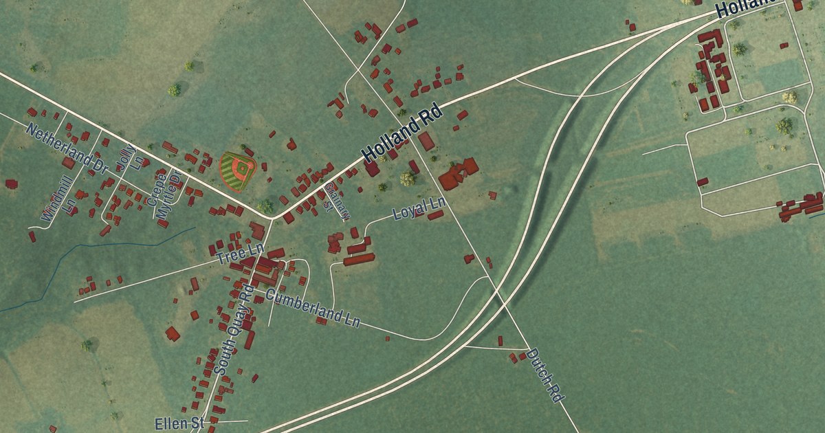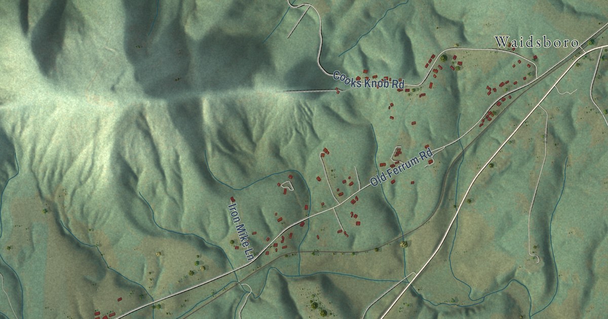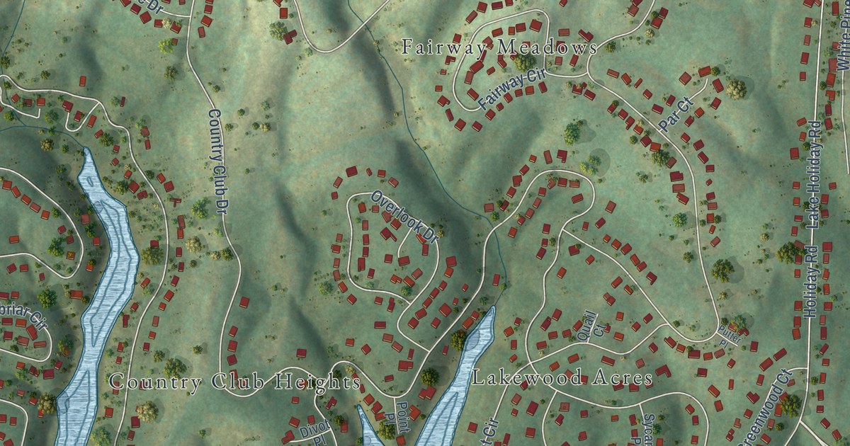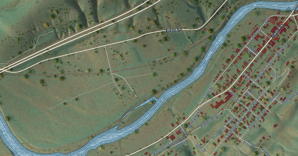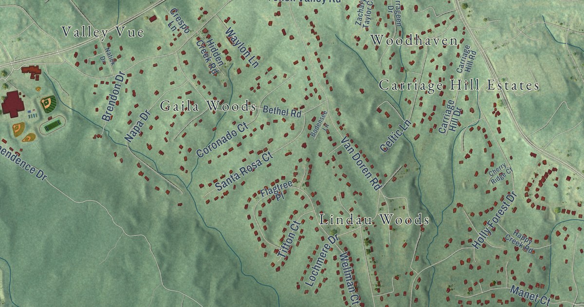
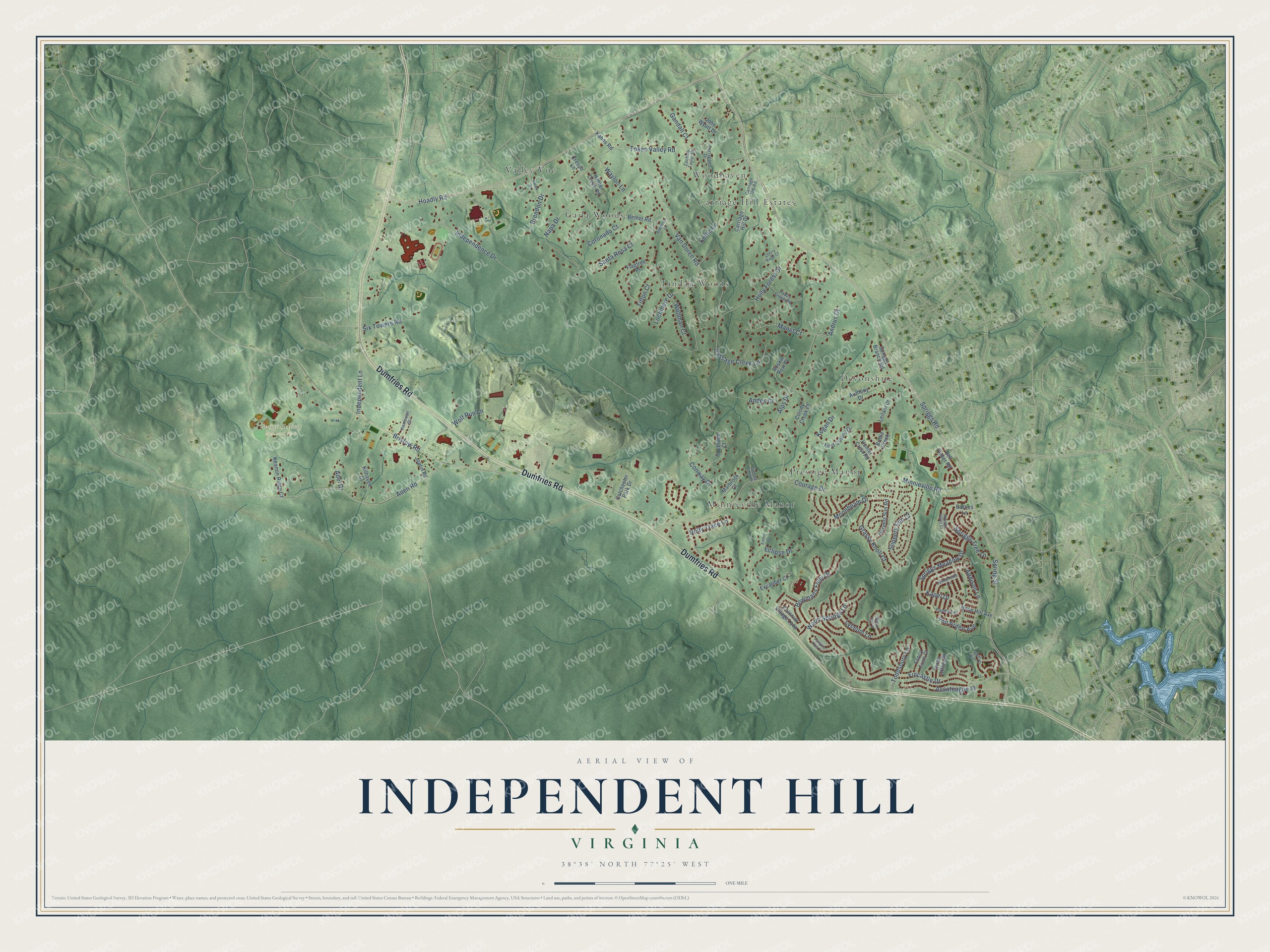
This beautifully detailed map of Independent Hill, Virginia was created in 2026 using aerial imagery combined with modern topographical, census, street and landmark data. It’s a one-of-a-kind view of Independent Hill that combines accurate data with a vintage aesthetic. The map shows every building in its true location, many of the roads carry their names, and the shaded topographic relief shows the shape of the land.
Explore an aerial view of Independent Hill, Virginia
On the map you’ll find George Hellwig Memorial Park, Carriage Hill Estates, Devonshire, Gaila Woods, Lindau Woods, Minnieville Manor, Prestige Manor, Valley Vue, and Woodhaven, along with Dumfries Road, Spriggs Road, Hoadly Road, and more. If you look closely you can even find your house accurately drawn in its correct location. Zoom in on the preview to look for yours.
Did you know this piece of Independent Hill, Virginia history?
From Historic Prince William: "James B. Cole, a grandson of Benjamin Cole, Jr., operated a blacksmith and undertaking business at Independent Hill until his death in 1956."
Take a closer look at the Independent Hill map
Street and place names on the Independent Hill, Virginia map
These names are printed on the map of Independent Hill, Virginia.
Places: George Hellwig Memorial Park, Carriage Hill Estates, Devonshire, Gaila Woods, Lindau Woods, Minnieville Manor, Prestige Manor, Valley Vue and Woodhaven.
Streets and roads: Dumfries Road, Spriggs Road, Hoadly Road, Minnieville Road, Token Valley Road, Van Doren Road, Bristow Road, Fincastle Drive, Alps Drive, Spring Street, Aden Road, Moonbeam Drive.
More street names, A to Z
Addison Lane, Adel Drive, Andes Court, Andrus Court, Ann Arden Avenue, Anthony Drive, Assateague Place, Barnes Lane, Bell Tower Road, Bethel Road, Boar Run Court, Bodensee Lane, Bowmans Folly Drive, Brendon Drive, Bridle Creek, Carrageen Drive, Carriage Hill Drive, Carriage Hill Road, Celtic Lane, Cherry Ridge Court, Colchester Park Drive, Colonial Village Loop, Colony Creek Court, Conway Drive, Coronado Court, Courage Drive, Crespo Lane, Eclipse Drive, Ember Court, Excaliber Court, Fancy Farm Court, Flagtree Place, Gandall Court, Grassy Knoll Court, Hamowell Street, Happy Creek Road, Harvest Sun Road, Hidden Creek Road, Holly Forest Drive, Holly Trace Lane, Hope Hill Avenue, Hunter Crest Road, Idlebrook Court, Independence Drive, Independent Lane, Jennerette Lane, John Wyatt Drive, Joplin Road, Kahns Road, Kapel Drive, Keanon Ridge Court, Kilhaven Court, Kogan Drive, Leilani Drive, Lochmere Drive, Lost Colony Drive, Lyceum Lane, Malbrook Court, Manet Court, Milton Hall Place, Napa Drive, Natick Drive, Pamplin Pipe Court, Papillon Place, Passage Creek Lane, Running Creek Drive, Ruskin Row Place, Santa Rosa Court, Six Towers Road, Slippery Elm Court, Spriggs Branch Road, Spriggs Meadow Drive, Spriggs Tree Lane, Spriggs Valley Court, Three Otters Place, Tifton Court, Toddsbury Lane, Warm Springs Lane, Waylon Lane, Wellman Court, Wolf Run Lane, Zachary Taylor Court.
See the Independent Hill, Virginia map on a wall
The Independent Hill map as an 18 x 24 inch print in a black frame.

This beautifully detailed map of Independent Hill makes an attractive addition to your office, library, or den, and it can even be used to teach children the geography and history of the area. It also makes a great gift for anyone who grew up in Independent Hill or moved away. When you’re done exploring, click here to get your copy of the Independent Hill map.