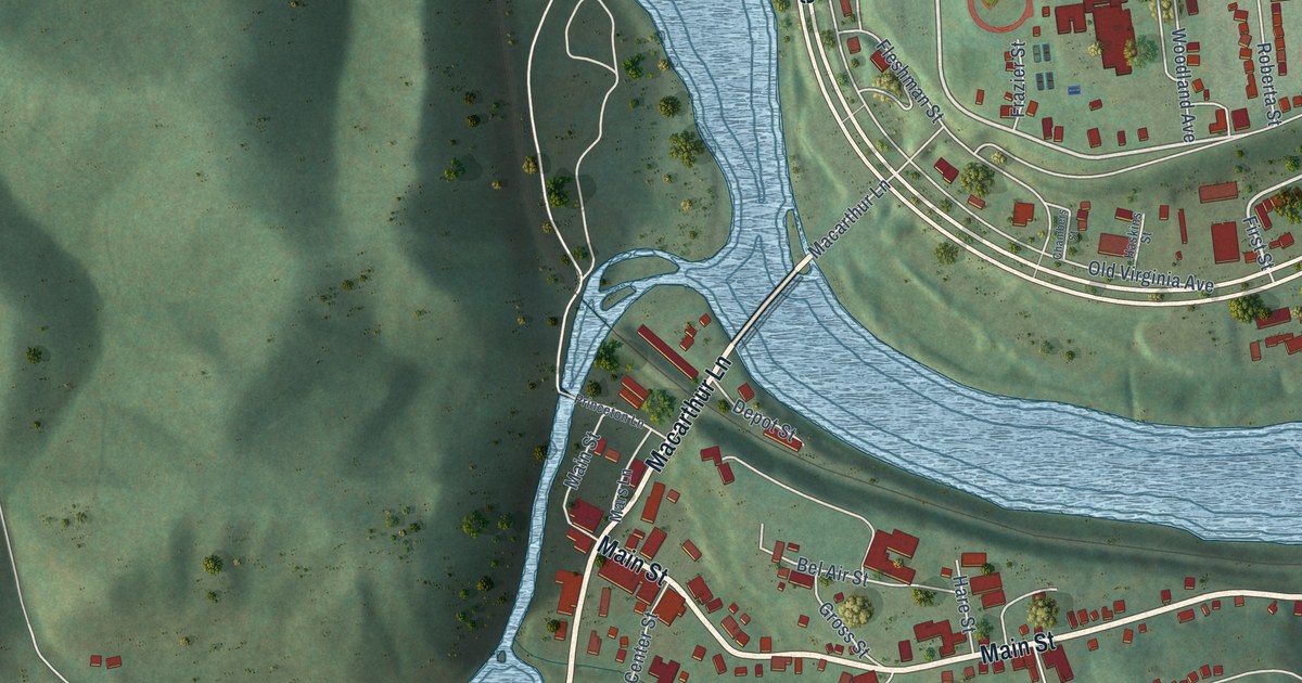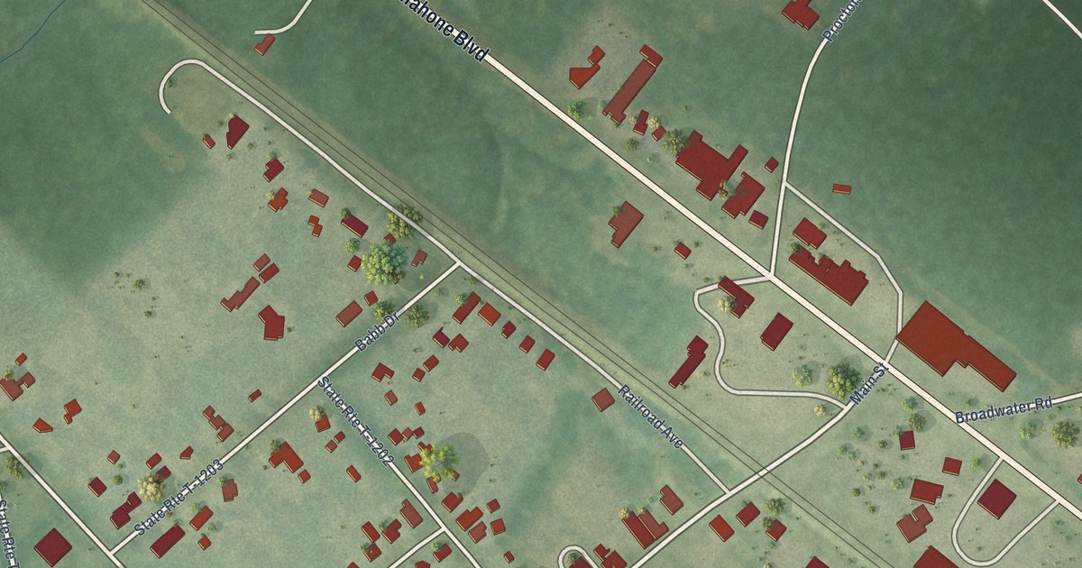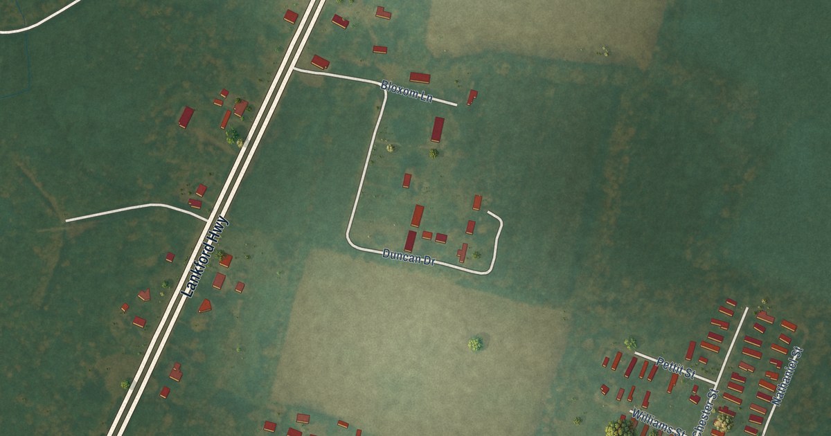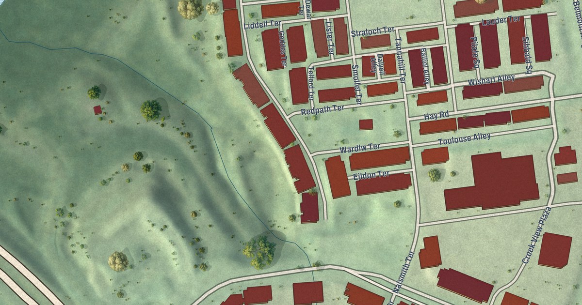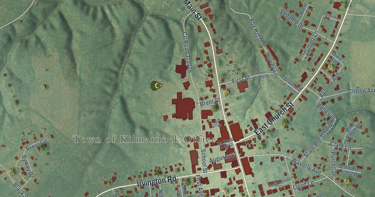
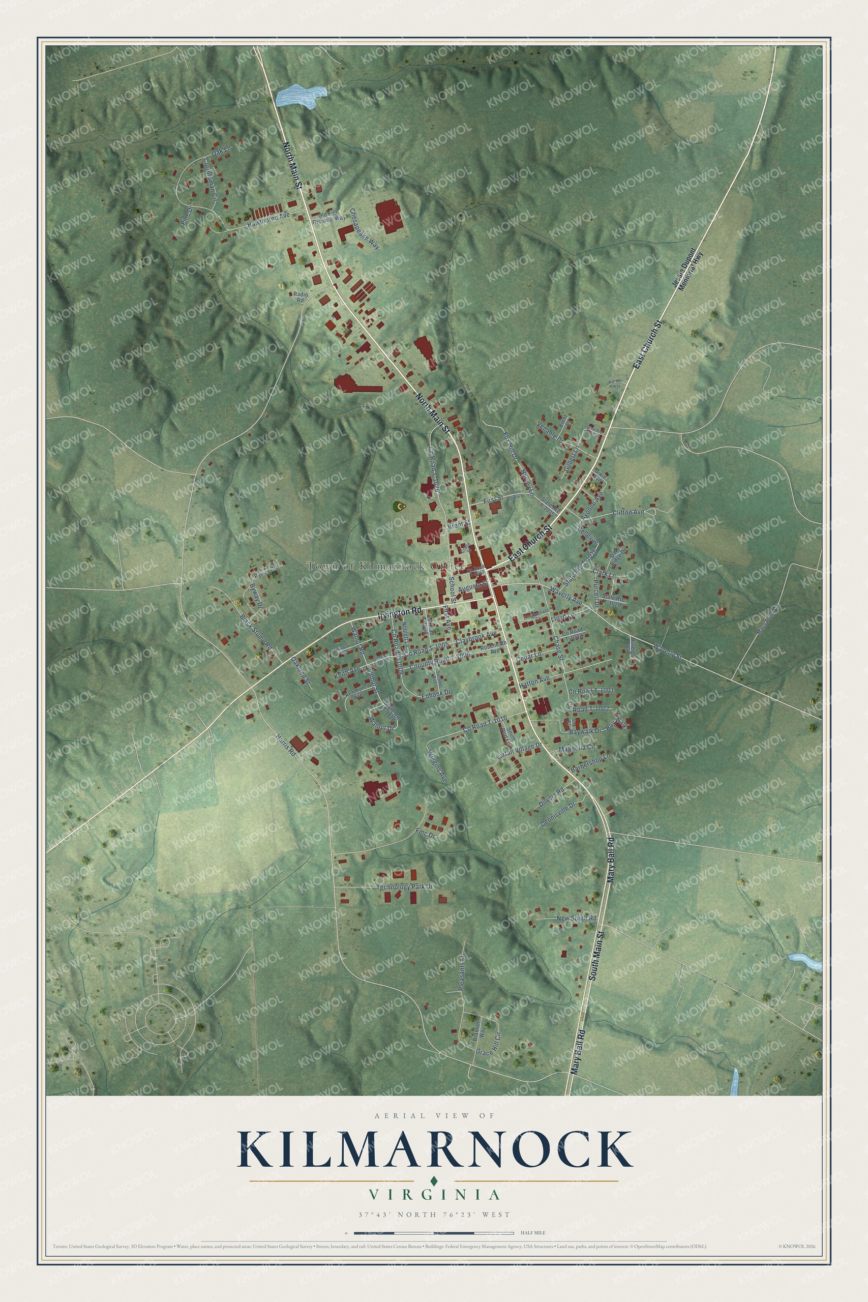
This beautifully detailed map of Kilmarnock, Virginia was created in 2026 using aerial imagery combined with modern topographical, census, street and landmark data. It’s a one-of-a-kind view of Kilmarnock that combines accurate data with a vintage aesthetic. The map shows every building in its true location, many of the roads carry their names, and the shaded topographic relief shows the shape of the land.
Explore an aerial view of Kilmarnock, Virginia
On the map you’ll find Town of Kilmarnock Office, Bellevue, and State Rte T-1016, along with East Church Street, South Main Street, North Main Street, Mary Ball Road, Irvington Road, Waverly Street, Waverly Avenue, Avonne Avenue, Harris Road, and more. If you look closely you can even find your house accurately drawn in its correct location. Zoom in on the preview to look for yours.
Did you know this piece of Kilmarnock, Virginia history?
Fire swept through Kilmarnock three times in the twentieth century, in 1909, 1915 and 1952. Each time, the people of the town cleared the ruins and built their business district back up.
Take a closer look at the Kilmarnock map
Street and place names on the Kilmarnock, Virginia map
These names are printed on the map of Kilmarnock, Virginia.
Places: Town of Kilmarnock Office.
Streets and roads: East Church Street, South Main Street, North Main Street, Mary Ball Road, Irvington Road, Waverly Street, Bellevue, Waverly Avenue, State Route T-1016, Avonne Avenue, Harris Road, County Road T-1026.
More street names, A to Z
Augusta Street, Barbershop Lane, Bay Court, Baywalk Drive, Bel-Mer Way, Black Stump Road, Boy Walk, Braxton Way, Brent Place, Brent Street, Byway Circle, Byway Drive, Cedar Lane, Chase Street, Chesapeake Way, Clark Lane, Claybrook Avenue, Clifton Avenue, Corrotoman Circle, County Road T-1001, County Road T-1002, County Road T-1005, County Road T-1008, County Road T-1009, County Road T-1010, County Road T-1013, County Road T-1022, County Road T-1023, Couunty Road T-1006, Cralle Street, Dennisville Drive, Dilvers Road, Dixie Avenue, Eubank Drive, First Avenue, First Street, Fmc Drive, Fox Hill Drive, Gilbert Lane, Grace Hill Circle, Harvey Lane, Hatton Avenue, Hawthorne Avenue, Heatherfield Court, Jessie Dupont Memorial Highway, Keith Avenue, Kenmore Avenue, Kinlock Avenue, Lloyd Lane, Macs Pond Lane, Magnolia Circle, New South Road, Noblett Lane, Oakland Street, Oak Lane, Oak Ridge Drive, Old Fair Grounds Way, Pine Drive, Pleasants Lane, Purcell Drive, Radio Road, Raleigh Drive, Roseneath Avenue, School Street, Second Avenue, South Port Lane, State Route T-1018, State Route T-1028, State Route T-1033, State Route T-1035, Tartan Village Drive, Technology Park Drive, Town Centre Drive, Venable Drive, Walnut Drive, Walnut Road, Walnut Street, Wiggins Avenue.
See the Kilmarnock, Virginia map on a wall
The Kilmarnock map as an 18 x 24 inch print in a black frame.

This beautifully detailed map of Kilmarnock makes an attractive addition to your office, library, or den, and it can even be used to teach children the geography and history of the area. It also makes a great gift for anyone who grew up in Kilmarnock or moved away. When you’re done exploring, click here to get your copy of the Kilmarnock map.