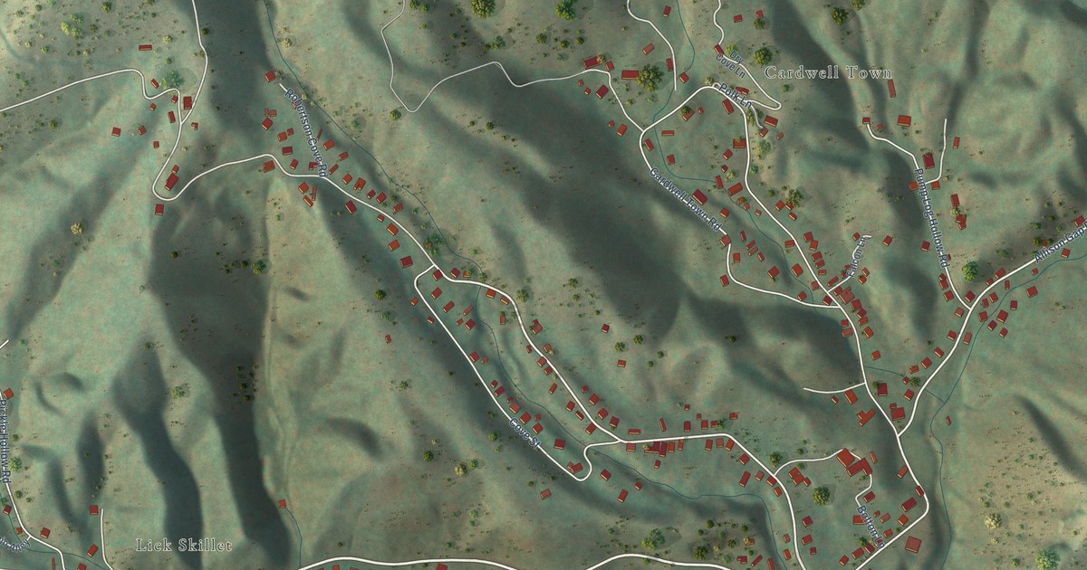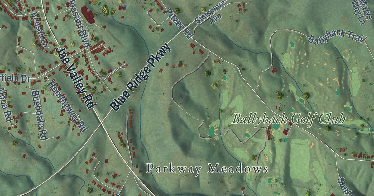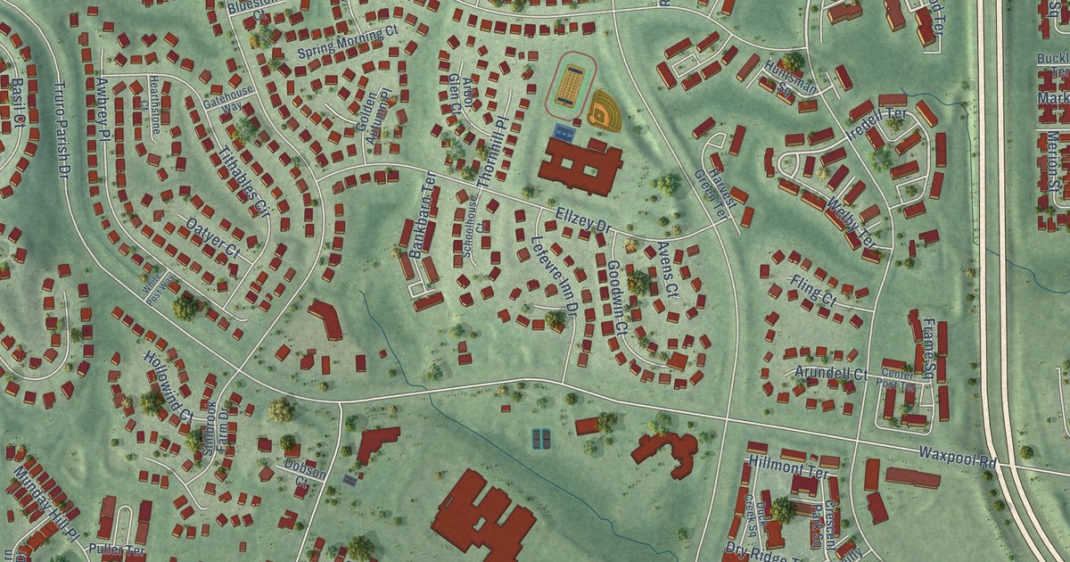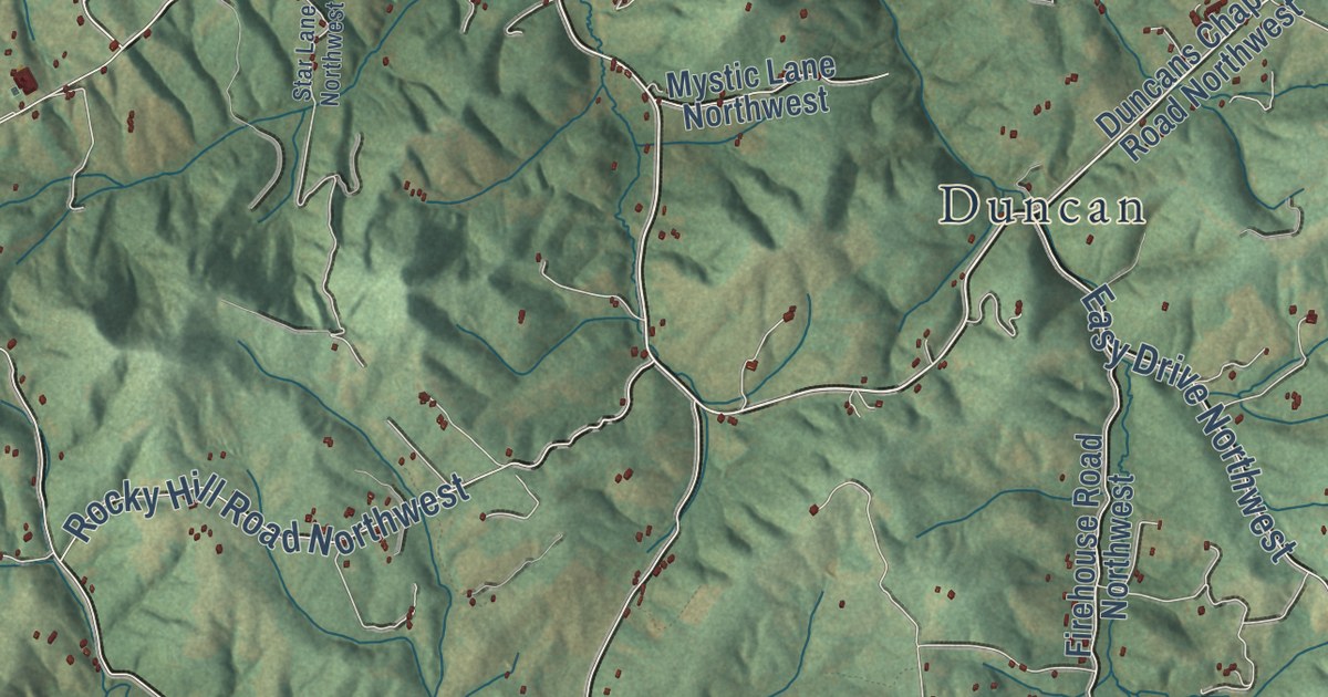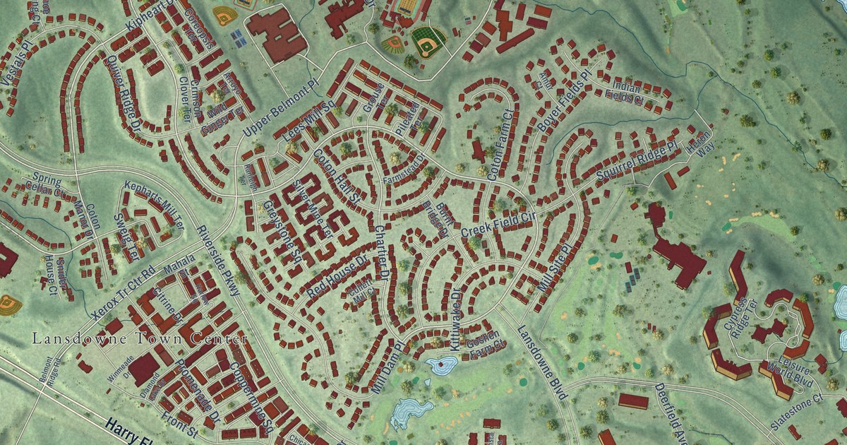
This beautifully detailed map of Lansdowne, Virginia was created in 2026 using aerial imagery combined with modern topographical, census, street and landmark data. It’s a one-of-a-kind view of Lansdowne that combines accurate data with a vintage aesthetic. The map shows every building in its true location, many of the roads carry their names, and the shaded topographic relief shows the shape of the land.
Explore an aerial view of Lansdowne, Virginia
On the map you’ll find Ashburn Junction, Lansdowne Town Center, and Upper Belmont Place, along with Harry Flood Byrd Highway, Leesburg Pike, East Market Street, Riverside Parkway, Riverpoint Drive, Kipheart Drive, Coton Commons Drive, Lecroy Circle, Xerox Tr Ctr Road, and more. If you look closely you can even find your house accurately drawn in its correct location. Zoom in on the preview to look for yours.
Did you know this about Lansdowne, Virginia?
From the Lansdowne on the Potomac HOA: "Lansdowne on the Potomac consists of 2,155 homes developed on former plantation land as rich in beauty as history."
Take a closer look at the Lansdowne map
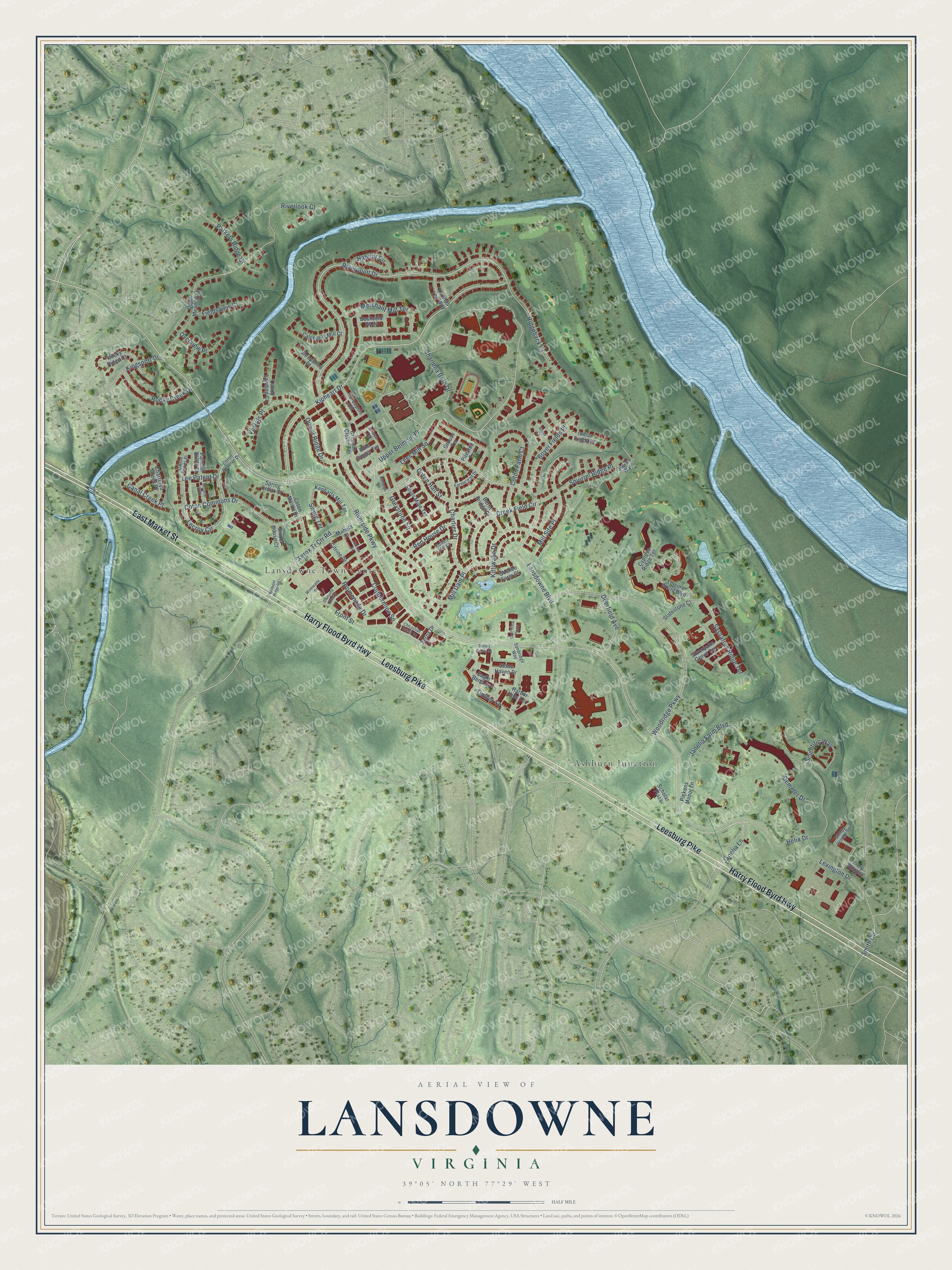
Street and place names on the Lansdowne, Virginia map
These names are printed on the map of Lansdowne, Virginia.
Places: Ashburn Junction and Lansdowne Town Center.
Streets and roads: Harry Flood Byrd Highway, Leesburg Pike, East Market Street, Riverside Parkway, Riverpoint Drive, Kipheart Drive, Coton Commons Drive, Lecroy Circle, Xerox Tr Ctr Road, Upper Belmont Place, Chartier Drive, Janelia Lane.
More street names, A to Z
Amur Court, Arroyo Terrace, Belmont Ridge Road, Boyer Fields Place, Burnt Bridge Drive, Bushveld Alley, Calphams Mill Court, Canal Creek Place, Canoe Landing Court, Charlena Beth Drive, Chartered Creek Place, Chicacoan Creek Square, Citrine Drive, Collett Mill Court, Coppermine Square, Coreopsis Terrace, Coton Farm Court, Coton Hall Street, Coton Manor Drive, Coton Reserve Drive, Creek Field Circle, Crimson Clover Terrace, Cypress Ridge Terrace, Dalton Points Place, Deerfield Avenue, Demeter Drive, Diamond Lake Drive, Eagle Bend Square, Farmstead Drive, Fieldsview Court, Fiery Skipper, Front Street, Golf Vista Plaza, Goshen Farm Court, Greystone Square, Grouse Terrace, Habitat Circle, Harbor Hills Terrace, Harlow Square, Helix Drive, Heron Way, Indian Fields Court, Janelia Farm Boulevard, Kepharts Mill Terrace, Kingsport Drive, Kittiwake Drive, Lansdowne Boulevard, Lee Patent Drive, Lees Mill Square, Leisure World Boulevard, Lexington Drive, Mahala Street, Merchant Mill Terrace, Mill Dam Place, Mill Site Place, Moselle Way, Overview Place, Parallel Bluffs Court, Parkers Ridge Drive, Pickens Manor Lane, Pileated Terrace, Promenade Drive, Quiver Ridge Drive, Ranleigh Terrace, Red House Drive, Ridgeback Court, Riverlook Court, Rocky Creek Drive, Rocky Ridge Court, Sandridge Way, Sassafras Ridge Terrace, Scholar Plaza, Scientific Way, Shropshire Court, Silver Mine Terrace, Silverpalm Grove Terrace, Slatestone Court, Sleepy Orange Terrace, Smith Circle, Snider House Court, Spring Cellar Court, Squirrel Ridge Place, Stone Haven Drive, Stoney Brook Square, Sweig Terrace, Thomas Lee Way, Timber Square, Upper Meadow Drive, Vestals Place, Wild Ginger Terrace, Winmeade Drive, Woodridge Parkway, Xerox Drive.
See the Lansdowne, Virginia map on a wall
The Lansdowne map as an 18 x 24 inch print in a black frame.

This beautifully detailed map of Lansdowne makes an attractive addition to your office, library, or den, and it can even be used to teach children the geography and history of the area. It also makes a great gift for someone who left Lansdowne and still calls it home. When you’re done exploring, click here to get your copy of the Lansdowne map.